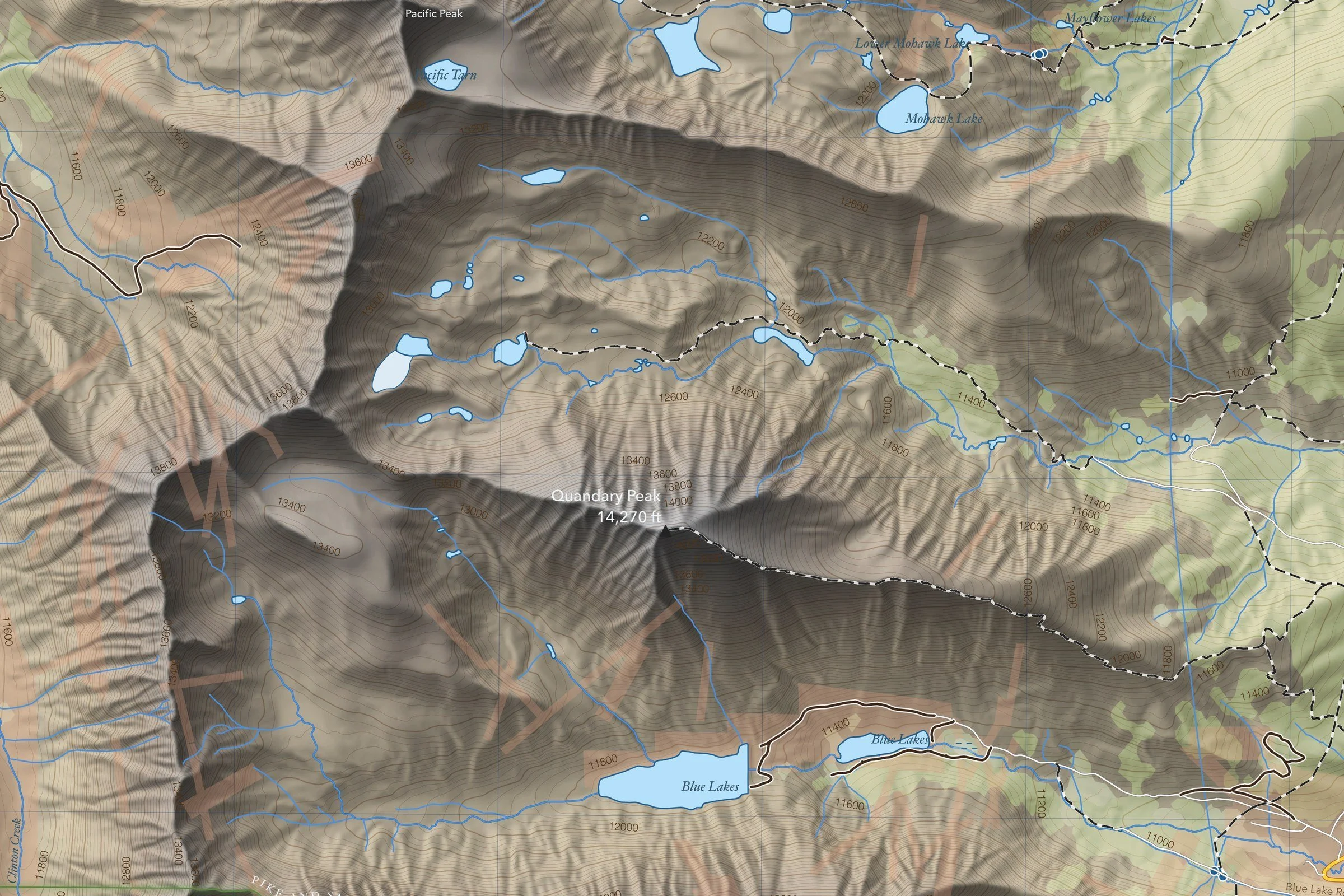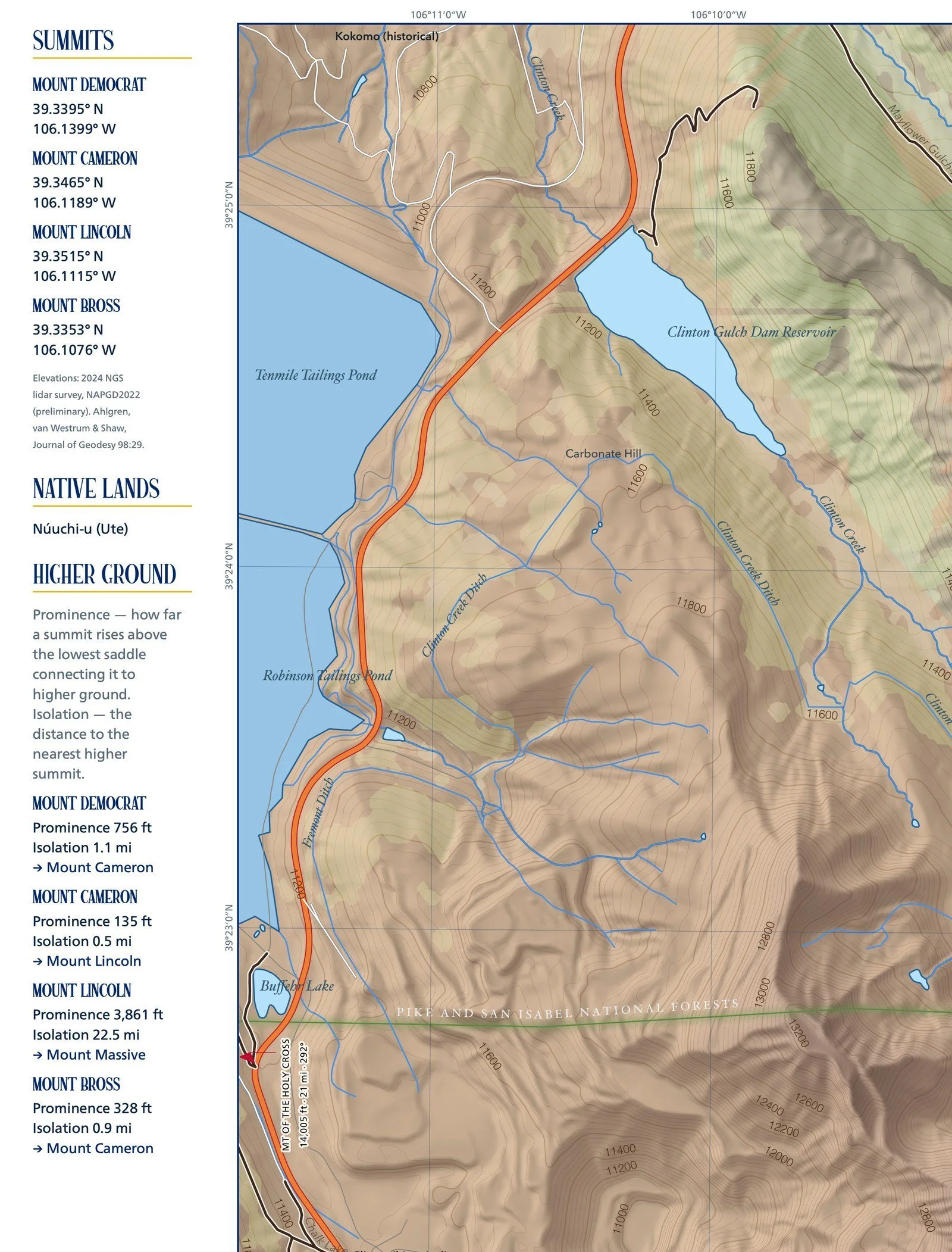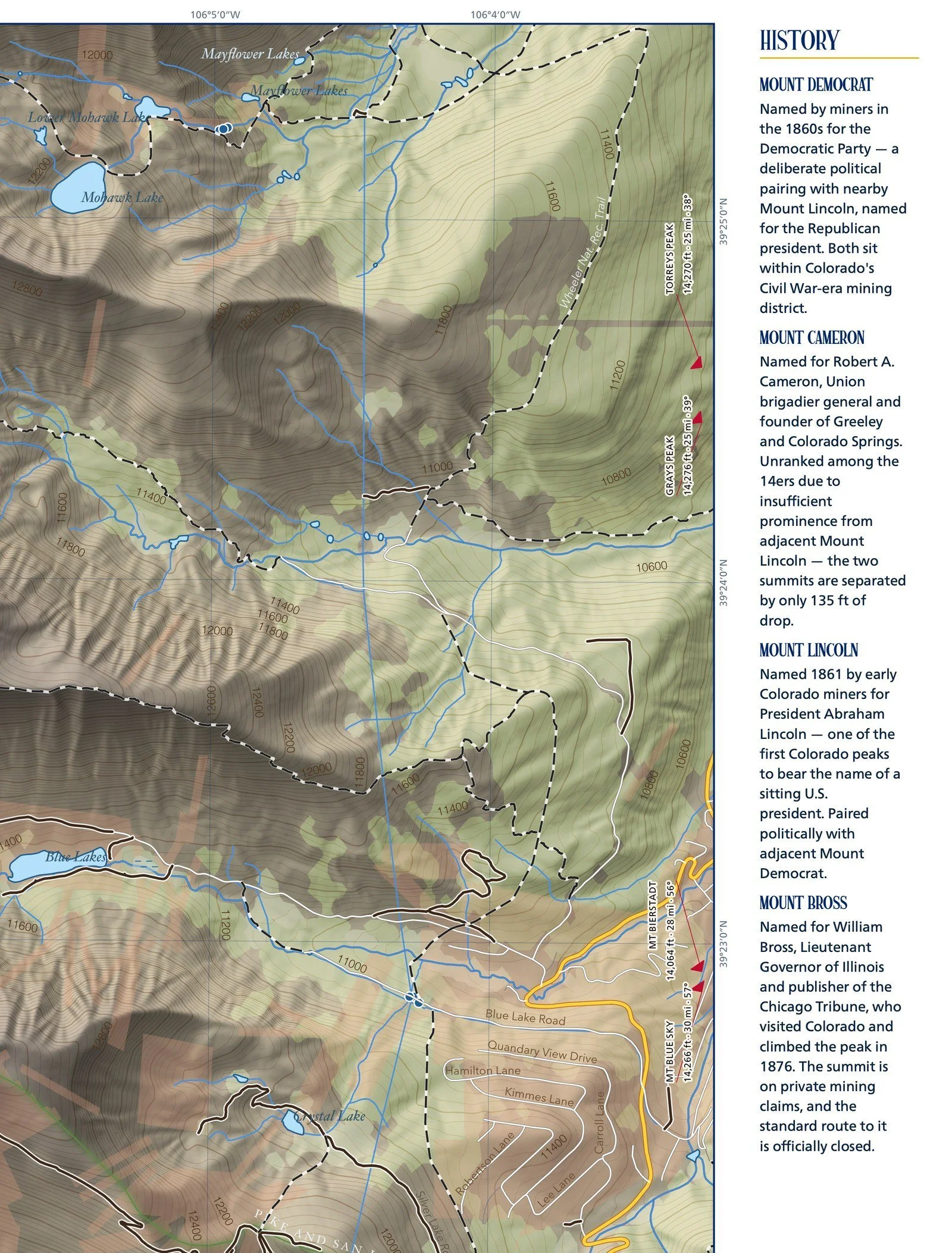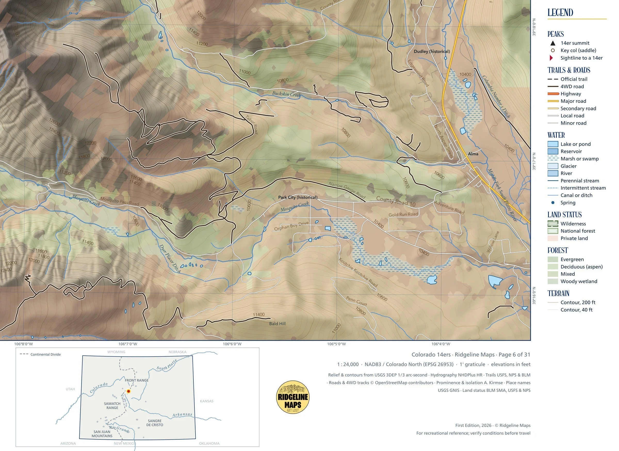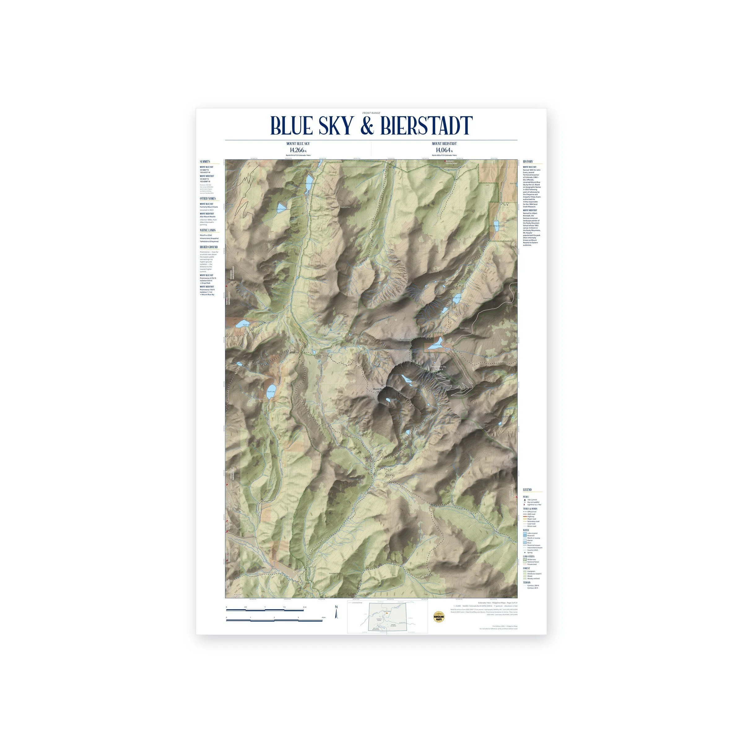
Framed: the 36 × 24-inch print is set behind a 2-inch white mat and acrylic glazing in a solid wood frame (black, white or natural oak), with a hanger attached, ready to hang. Framed size about 41.75 × 29.75 inches. Free shipping within the US; framed prints ship to US addresses only.
Size: 36 × 24 inches (91 × 61 cm), at 1:24,000.
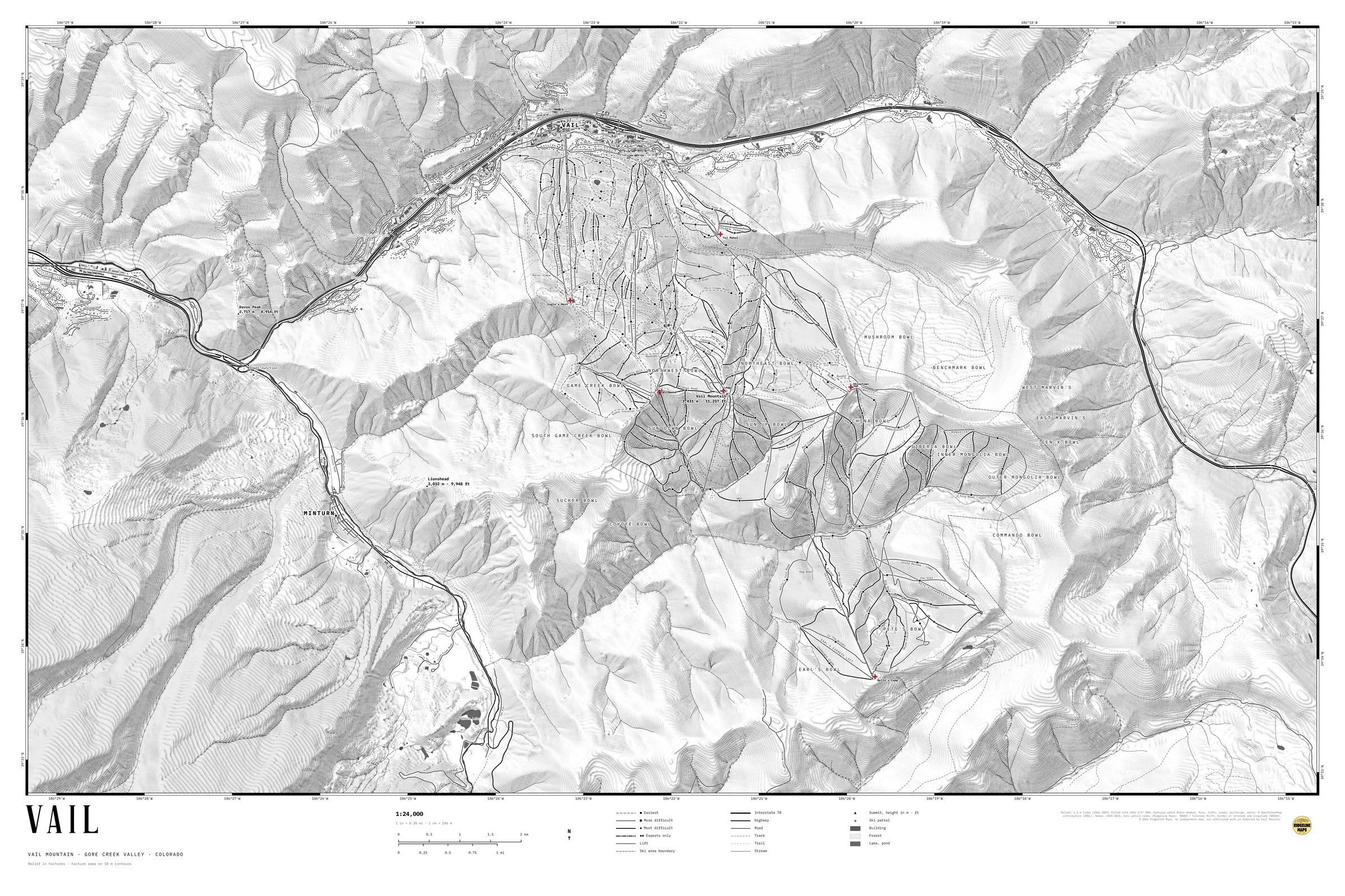
A hachure map of Vail Mountain and the Gore Creek valley, Colorado: the front side above Vail Village and Lionshead, Game Creek Bowl, the Back Bowls from Sun Down to Outer Mongolia, and Blue Sky Basin, with Minturn and Interstate 70 winding through the valley.
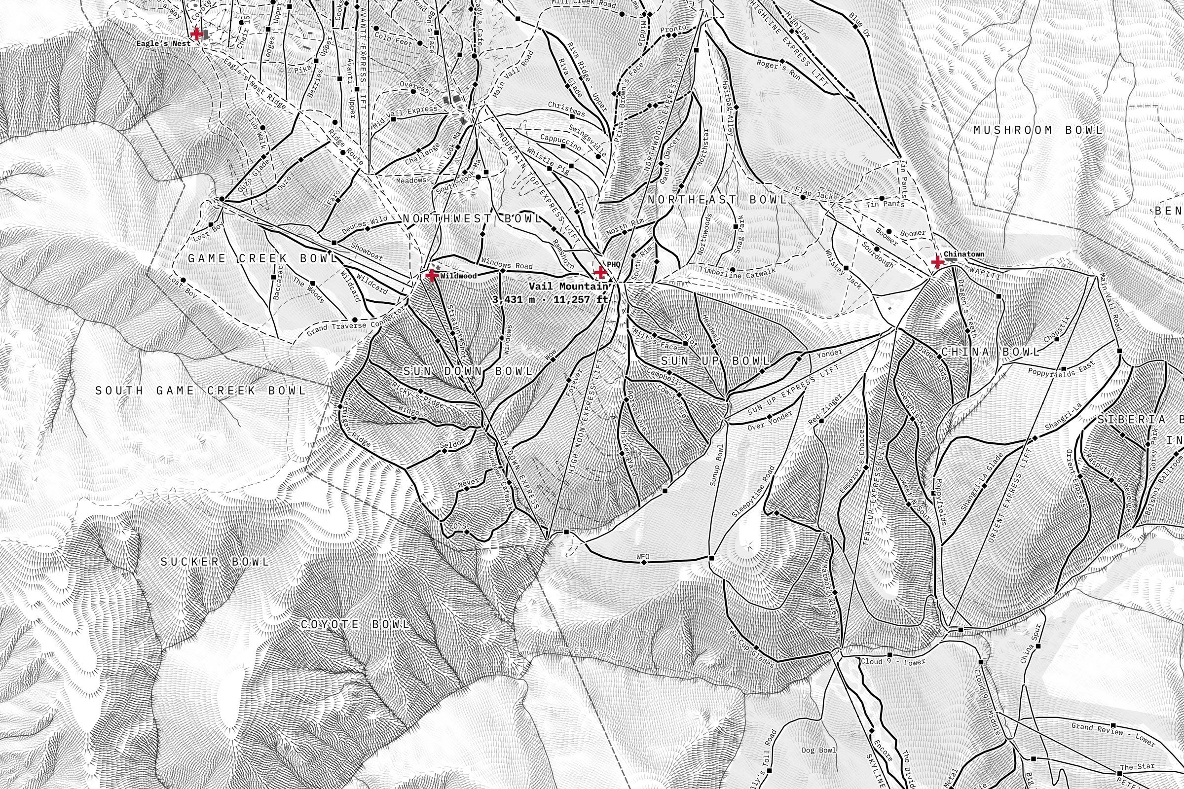
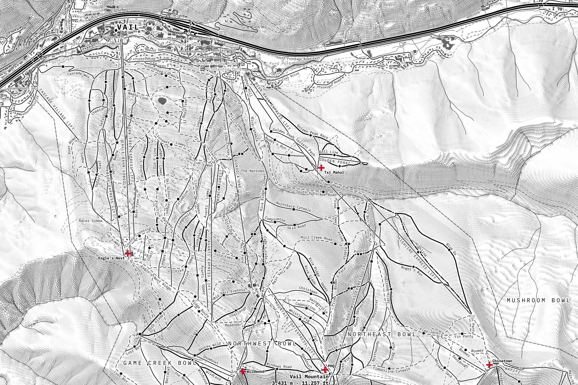
The relief is drawn in hachures: hundreds of thousands of fine, tapered strokes that run downhill and darken on the slopes facing away from the northwest light, so every ridge, bowl and gully reads at a glance in black and grey. It is built from 1.3-meter lidar elevation data. Ski runs are drawn by difficulty with their names and the circle, square and diamond symbols; lifts, bowls, summits with heights in meters and feet, roads, trails, streams, parks and hotels are named. Ski patrol outposts are marked with a red cross, the only color on the sheet. A black-and-white border carries latitude and longitude every minute, and the title, scale bars and legend sit below the map, so nothing covers the mountain.
Printed on fine art hot press paper. The unframed print is also available in 36 × 24 and 54 × 36 inches.
An independent map from Ridgeline Maps, not affiliated with or endorsed by Vail Resorts.
Framed: the 36 × 24-inch print is set behind a 2-inch white mat and acrylic glazing in a solid wood frame (black, white or natural oak), with a hanger attached, ready to hang. Framed size about 41.75 × 29.75 inches. Free shipping within the US; framed prints ship to US addresses only.
Size: 36 × 24 inches (91 × 61 cm), at 1:24,000.
A hachure map of Vail Mountain and the Gore Creek valley, Colorado: the front side above Vail Village and Lionshead, Game Creek Bowl, the Back Bowls from Sun Down to Outer Mongolia, and Blue Sky Basin, with Minturn and Interstate 70 winding through the valley.
The relief is drawn in hachures: hundreds of thousands of fine, tapered strokes that run downhill and darken on the slopes facing away from the northwest light, so every ridge, bowl and gully reads at a glance in black and grey. It is built from 1.3-meter lidar elevation data. Ski runs are drawn by difficulty with their names and the circle, square and diamond symbols; lifts, bowls, summits with heights in meters and feet, roads, trails, streams, parks and hotels are named. Ski patrol outposts are marked with a red cross, the only color on the sheet. A black-and-white border carries latitude and longitude every minute, and the title, scale bars and legend sit below the map, so nothing covers the mountain.
Printed on fine art hot press paper. The unframed print is also available in 36 × 24 and 54 × 36 inches.
An independent map from Ridgeline Maps, not affiliated with or endorsed by Vail Resorts.