

A little about me…
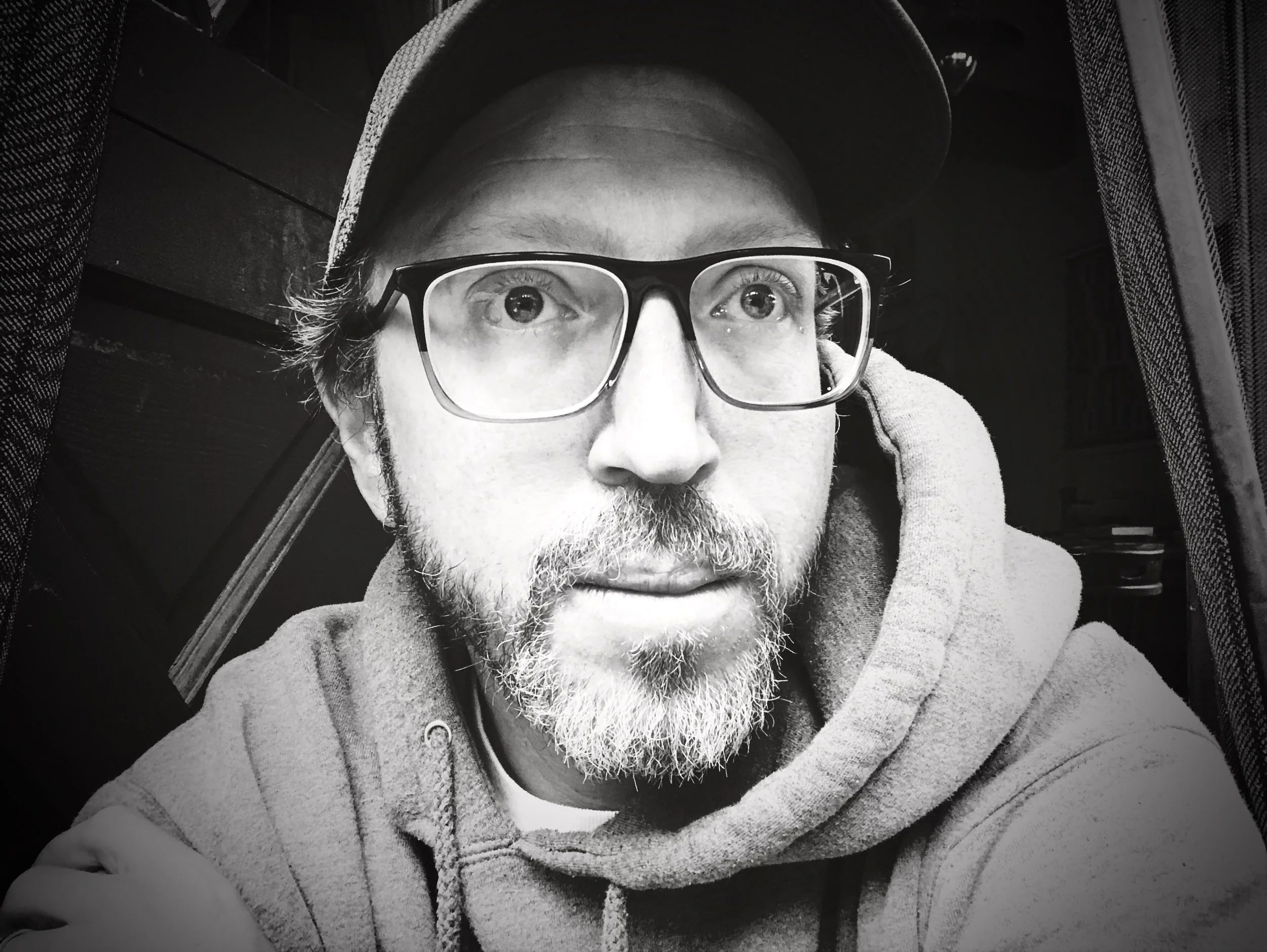
Mike Floyd
Originally from Colorado, Mike has been immersed in the world of maps throughout his life.
His fascination with cartography began to take shape during summers spent at a youth canoe camp in Algonquin Park, Ontario, where the lakes and forests of the Canadian Shield left a lasting impression on him. Even in middle school, he was captivated by the intricacies of mountainous landscapes, often spending hours sketching the peaks he dreamt of exploring. This early passion for sketching soon evolved into a practical skill as he learned to navigate and interpret maps to traverse the mountains near his hometown in search of elusive mountain bike trails, serene alpine lakes, and pristine powder for skiing adventures.
As he delved deeper into outdoor exploration, first as a guide and later as a student studying the dynamic relationship between human recreation and natural landscapes, Mike recognized the pivotal role that accurate mapping played in ensuring safe and enjoyable experiences in the mountains. His academic pursuits led him to explore geographic information systems, enabling him to accurately analyze and depict spatial data. Alongside his academic journey, Mike also dedicated himself to a career in ski patrol, where he honed his skills in avalanche forecasting and mountain safety.
Drawing on decades of experience in the mountains, Mike transformed his passion for cartography into a thriving business focused on crafting custom maps that beautifully capture the essence of mountainous regions.