

NOVEMBER 2026
#30DayMapChallenge
Every November, mapmakers around the world make one map a day for 30 days, each on a set theme. These are mine, added as they’re finished. Newest first.
Follow along on Instagram.
DAY 2 · LINES · NOV 2
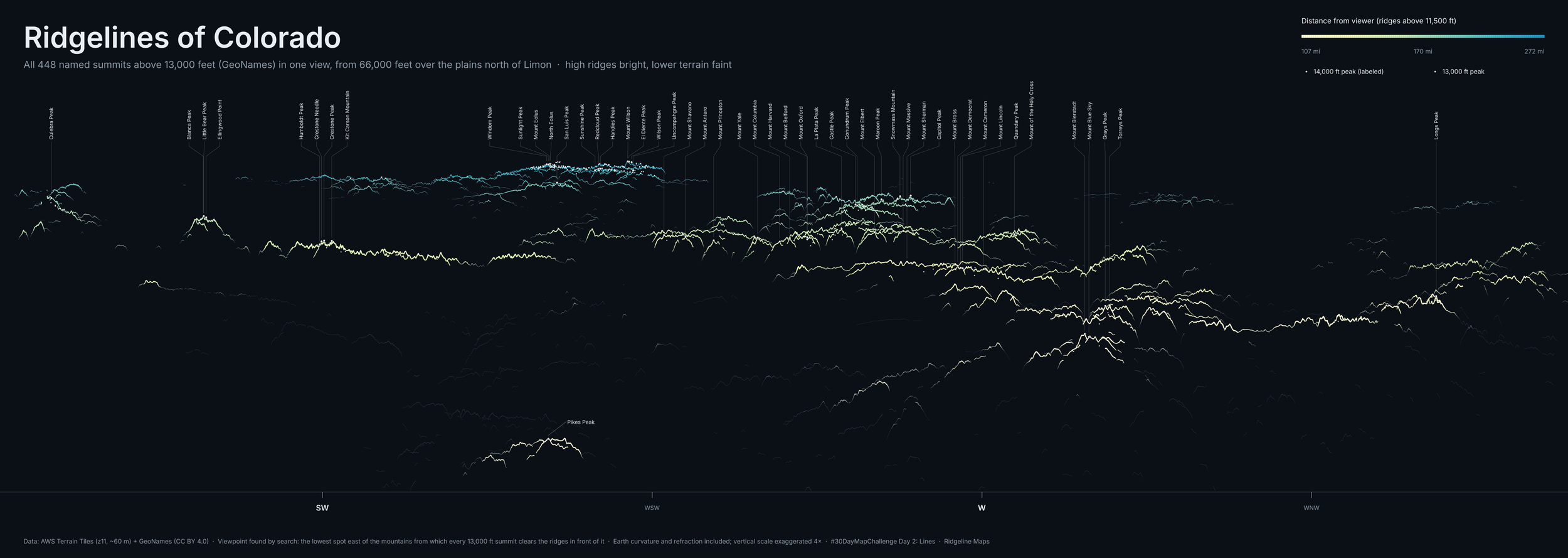
Ridgelines of Colorado
Every 13,000-foot summit in Colorado in one view: all 448 named peaks, seen from 66,000 feet above the plains north of Limon. That’s the lowest spot east of the mountains where every 13er clears the ridges in front of it.
Each line is a ridge crest above 11,500 feet, colored by distance, from pale yellow (about 107 miles away) to blue (272 miles). The 14ers are labeled. Pikes Peak sits out front on its own, and the San Juans glow along the far horizon. Earth curvature and refraction are built in, and heights are exaggerated 4×.
Data: AWS Terrain Tiles, GeoNames (CC BY 4.0).
DAY 1 · POINTS · NOV 1
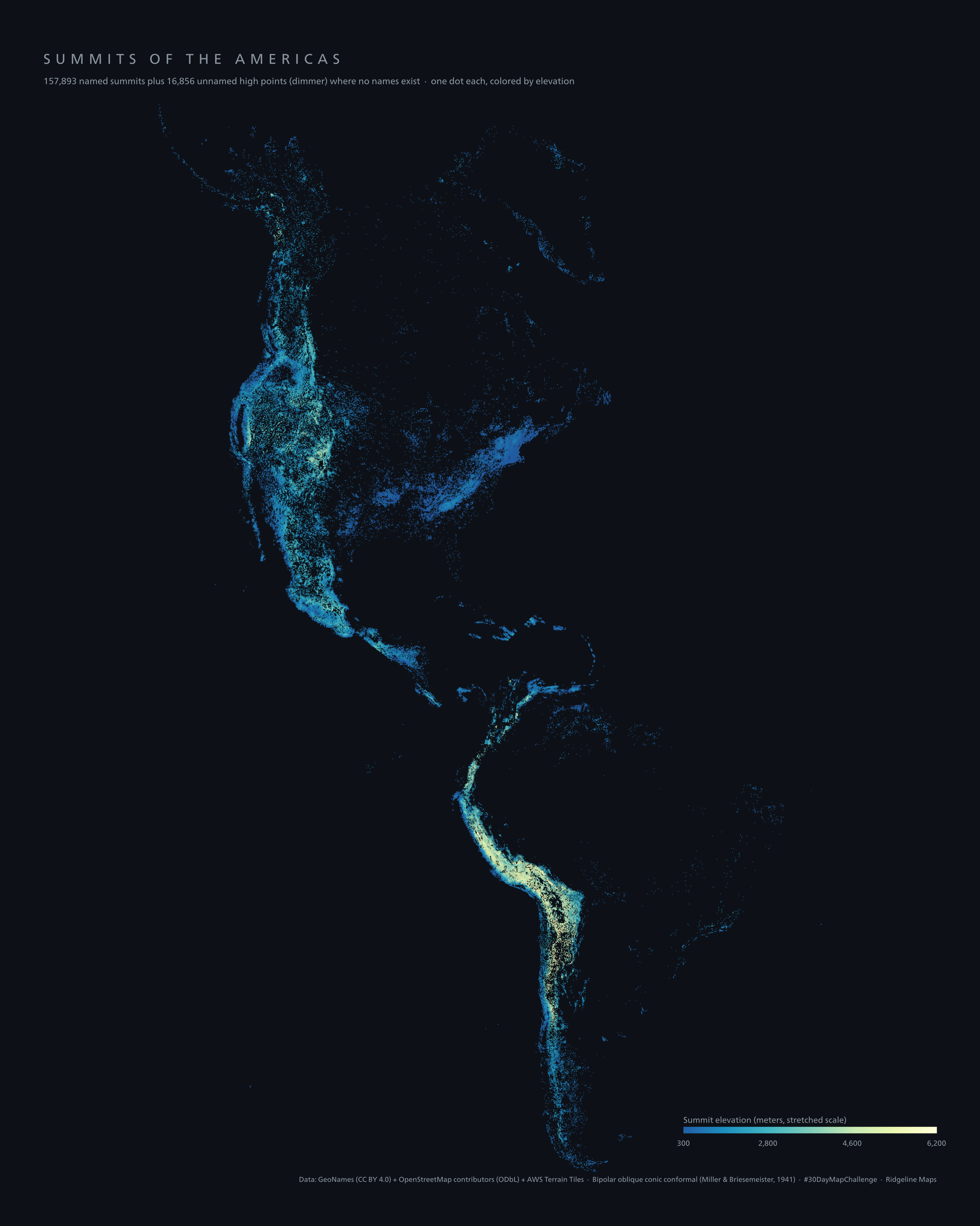
Summits of the Americas
Every summit in the Americas, one dot each: 157,893 named peaks, plus 16,856 unnamed high points (the dimmer dots) that no one has put a name on.
Each dot is colored by elevation, from 300 m in deep blue up to 6,200 m in pale yellow. The Rockies and the Sierra Madre run down the west side of North America, the Andes glow all the way down South America, and the Appalachians show up as a quiet blue smudge in the east.
The projection is the bipolar oblique conic conformal, built in 1941 by Miller and Briesemeister to fit both continents in one frame without stretching either one.
Data: GeoNames (CC BY 4.0), OpenStreetMap contributors (ODbL), AWS Terrain Tiles.
All 30 days

Daily themes from the #30DayMapChallenge.