

Find Your 14er
All 58 Colorado 14ers, each linked to its map in the Ridgeline Maps 14ers series. Pick a peak on the map to see which print it’s on, or use the list below.
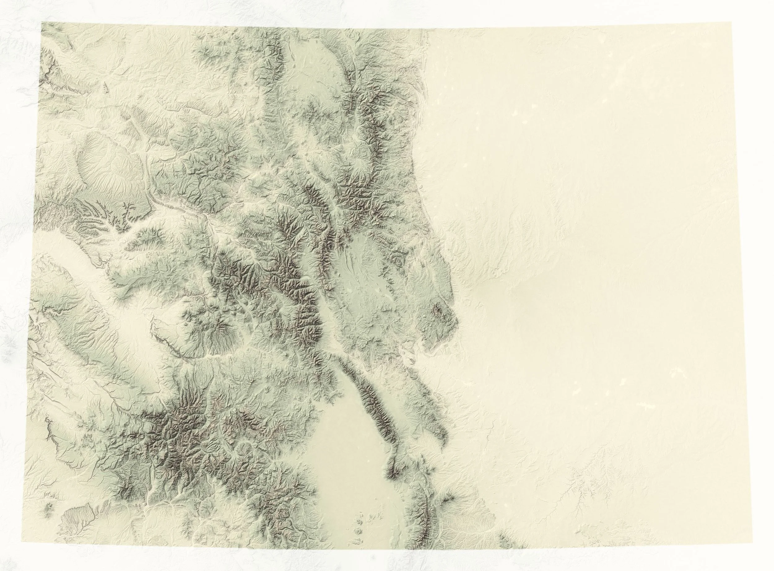
Hover a glowing dot to see which map it’s on, then click to open it. Shaded relief from SRTM elevation data.
| Peak | Elevation | Range | Map |
|---|
About the elevations and rankings
Summit heights. The elevations on this page and on the maps come from the National Geodetic Survey’s 2024 resurvey of all 58 Colorado 14ers (Ahlgren, van Westrum and Shaw, “Moving mountains: reevaluating the elevations of Colorado mountain summits using modern geodetic techniques,” Journal of Geodesy 98:29, 2024). They are measured against the NGS’s new national height reference (NAPGD2022), which is not yet official, so treat them as preliminary. Most come out a few feet higher than the long-standing USGS topo map figures: 49 of the 58 peaks went up, by about 3½ feet on average, and a few went down. Mount Elbert, for example, is 14,438 ft rather than 14,433 ft. Heights are rounded to the nearest foot; the survey’s own uncertainty is a few inches.
Ranking. “Highest” sorts the list by these new heights, so about 20 peaks sit in a slightly different order than on older lists. For example, Castle Peak now edges out Quandary Peak and Mount Antero. Every one of the 58 named 14ers is listed. Five of them (Mount Cameron, Conundrum Peak, El Diente Peak, North Eolus and North Maroon Peak) rise less than 300 feet above the saddle that joins them to a higher neighbor, so many peak lists treat them as unranked sub-peaks and count 53 ranked 14ers. They are included here because they appear on the maps. Prominence figures come from Andrew Kirmse’s worldwide mountain prominence dataset.
Locator map. The shaded relief behind the locator map is built from NASA’s Shuttle Radar Topography Mission (SRTM) elevation data. The prints themselves use far more detailed USGS lidar elevation models.