

Custom Maps & Commissions
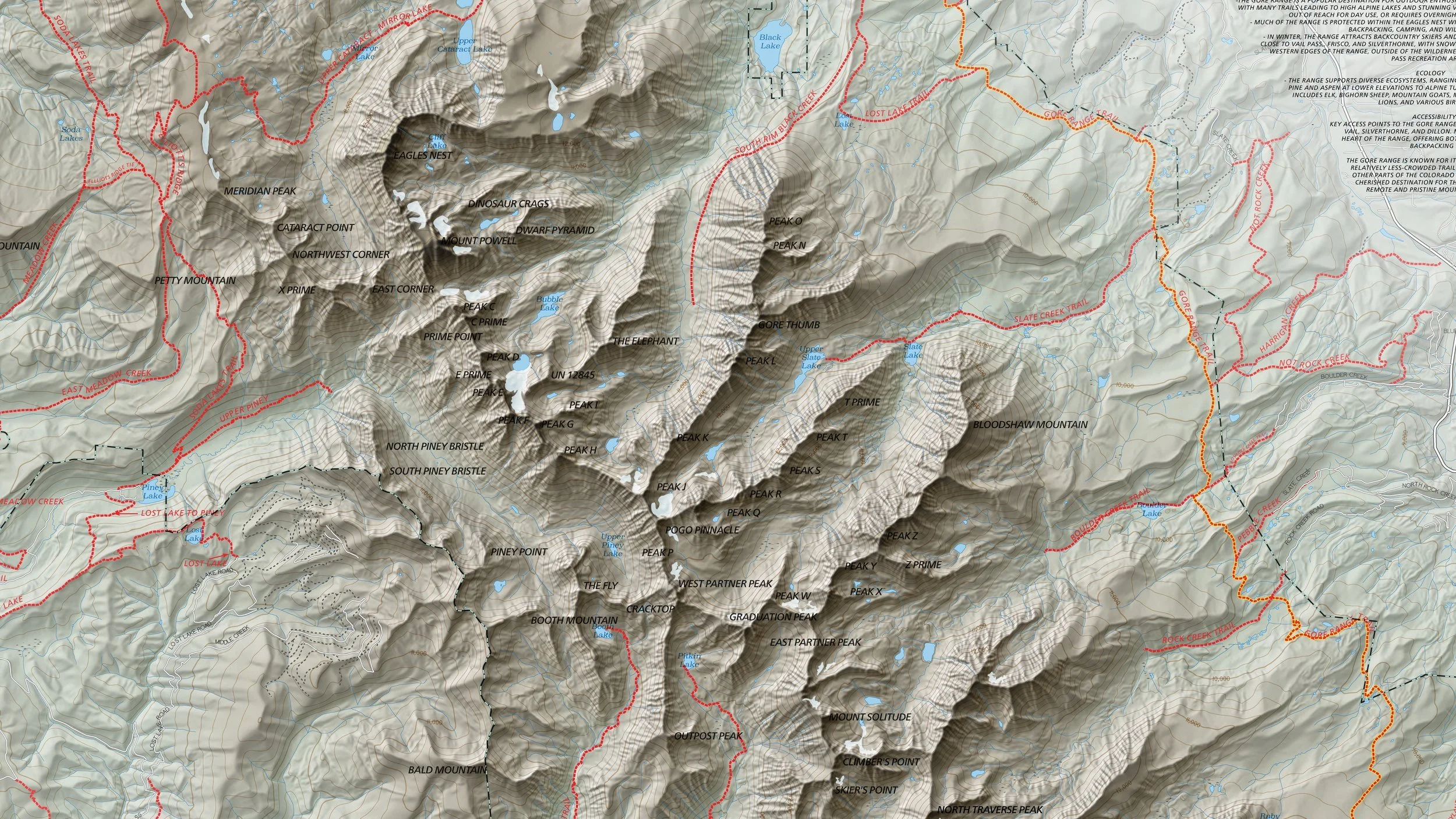
Maps made for a specific place and a specific purpose, from race courses and trail systems to book illustrations and wall art of the mountains you love.
What I Make
Every commission starts with the terrain and what the map needs to do. Have something else in mind? Get in touch and we’ll work out the details together.
-
Course maps for trail races, ski events, bike rides, and festivals, designed to read clearly on a bib, a poster, or a phone screen.
-
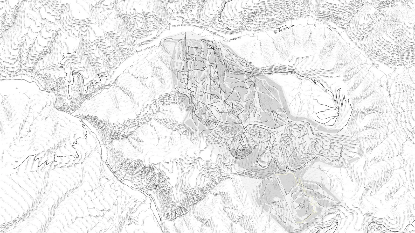
Trail systems, hut routes, and recreation areas for towns, land trusts, outfitters, and resorts, in print, PDF, or GIS-ready formats.
-
Hand-drawn and illustrated maps for books, stories, and films, plus custom wall maps of a favorite range, trip, or home mountain.
-
Current, high-detail maps built from FAA Part 107 drone flights, for project sites, trail work, and terrain that older imagery doesn’t capture.
Our Process
Tell Me About the Place
Share the area, what the map is for, and where it will live: on a wall, a website, or a race bib. I’ll follow up with questions and a quote.
Plan & Gather Data
I gather elevation, trail, and imagery data for the area, fly the drone if current imagery is needed, and sketch out the layout.
Drafts & Revisions
You review drafts and mark up anything that should change. We agree on the number of revision rounds up front, so there are no surprises.
Final Files & Prints
You get print-ready files, web versions, GIS data, or finished prints, in whatever formats the project needs.
Past Project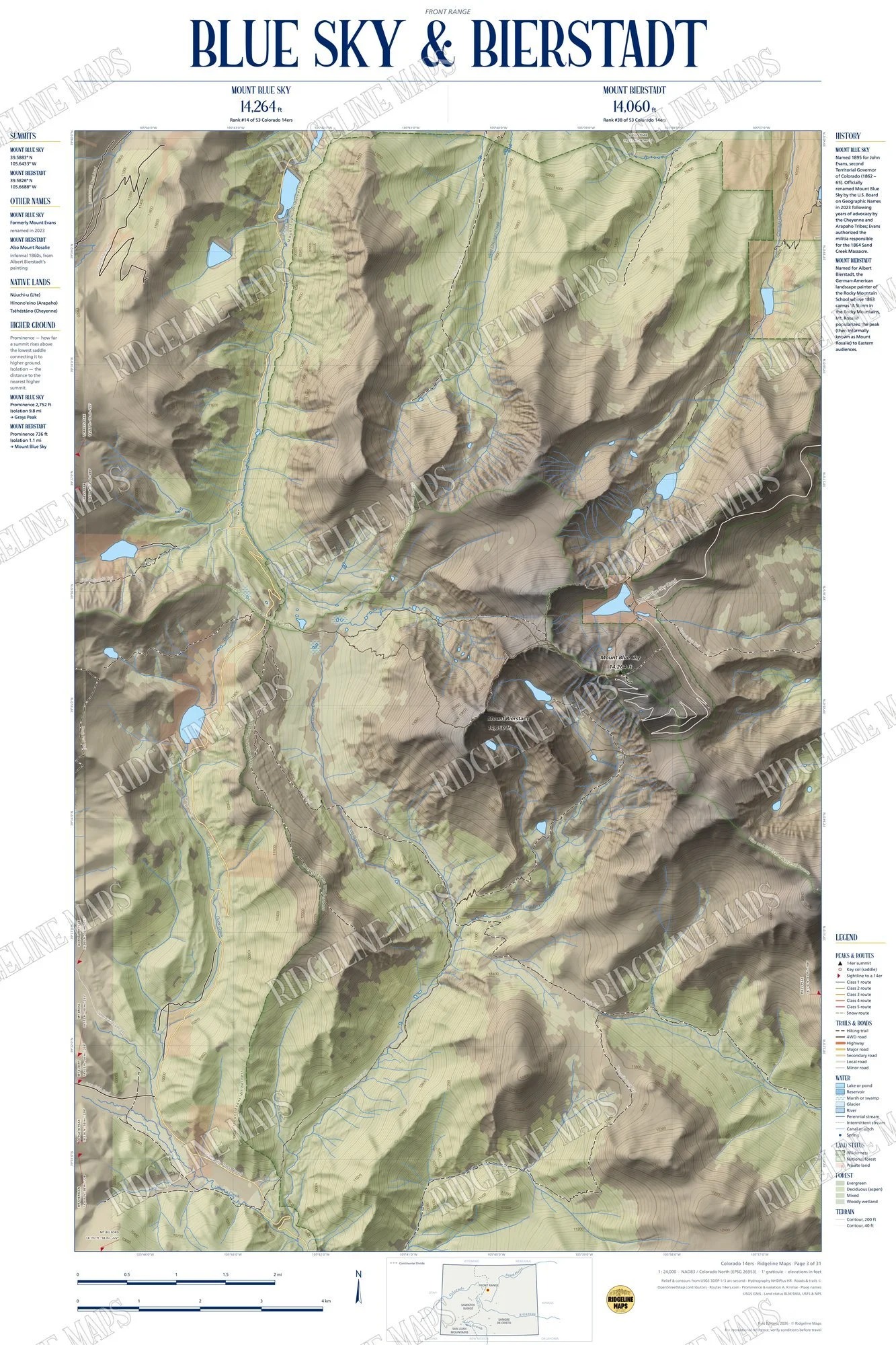
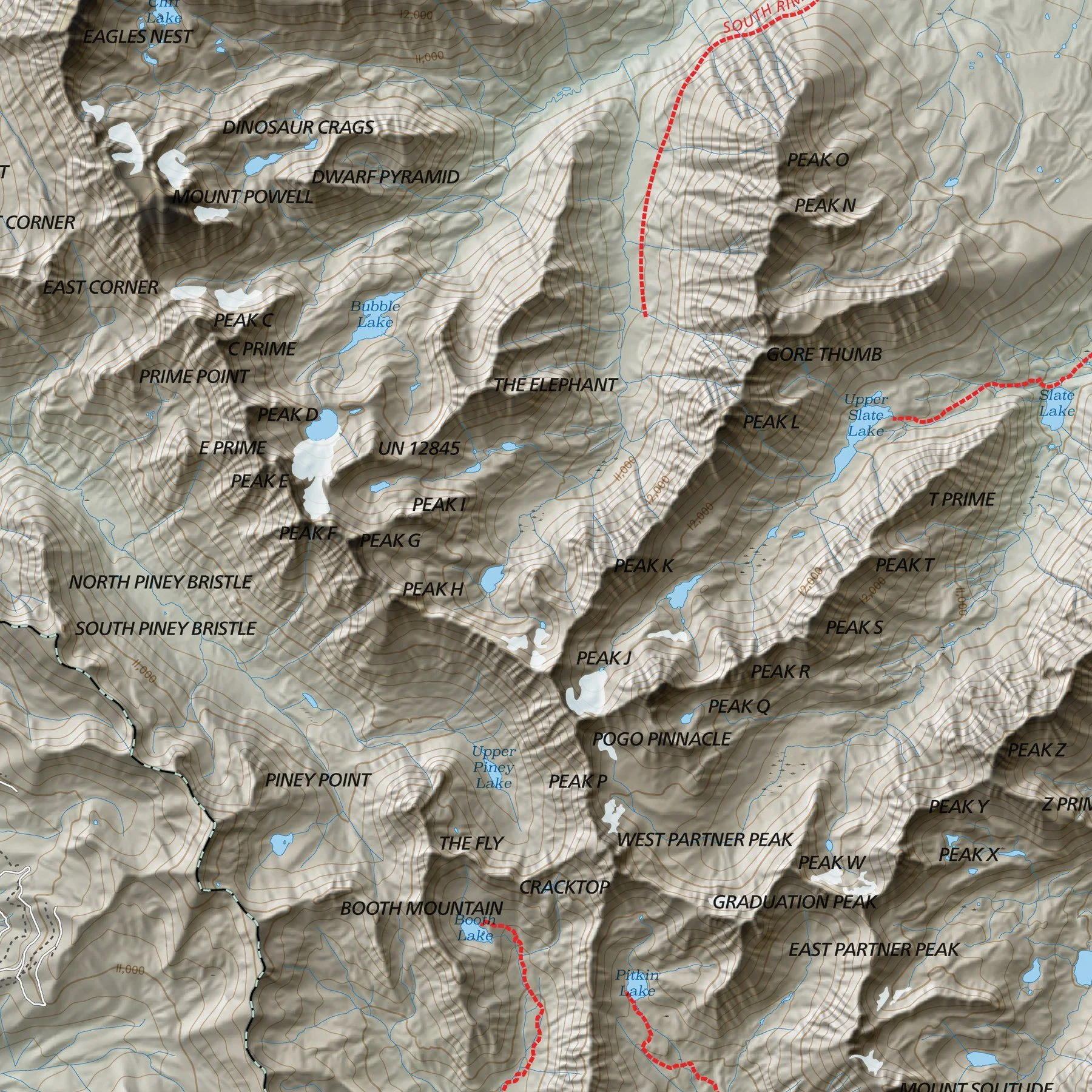
The Colorado 14ers Series
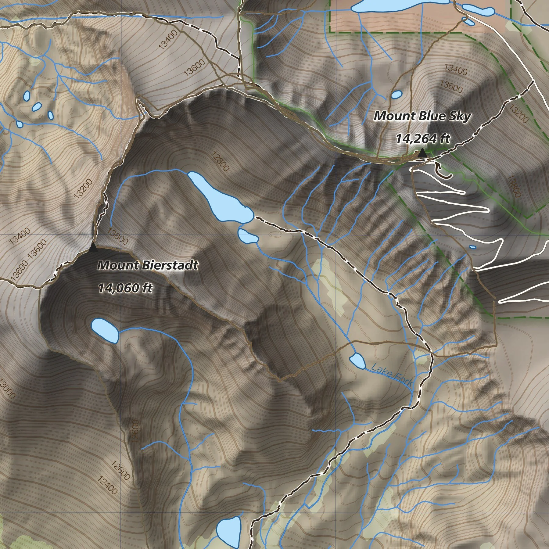
31 maps covering all 58 Colorado fourteeners at 1:24,000, built from elevation data and drawn in a consistent Swiss-inspired style.
Let’s Work TogetherHave a place, a route, or an event that needs a map? Fill out the form with a few details about your project, and I’ll review it and get back to you.