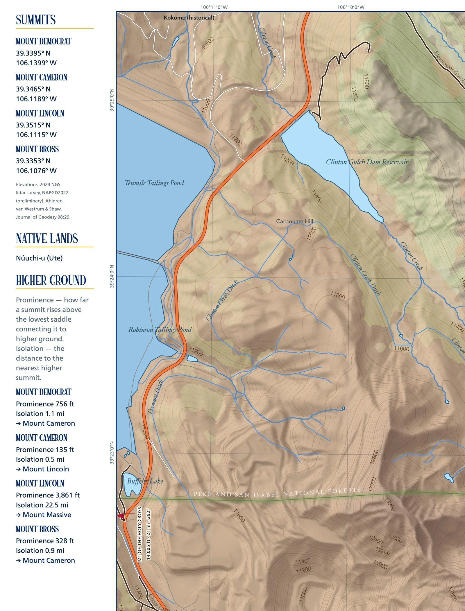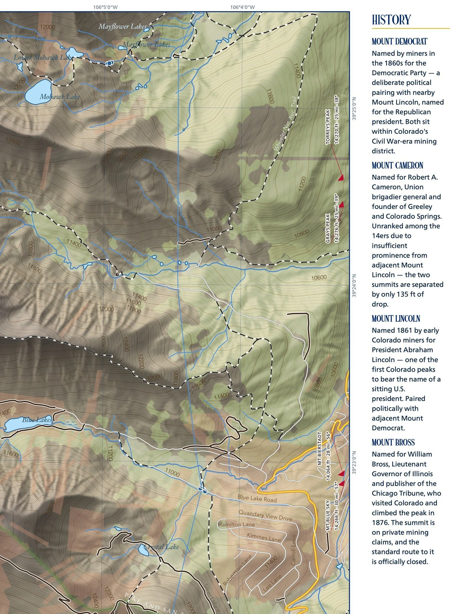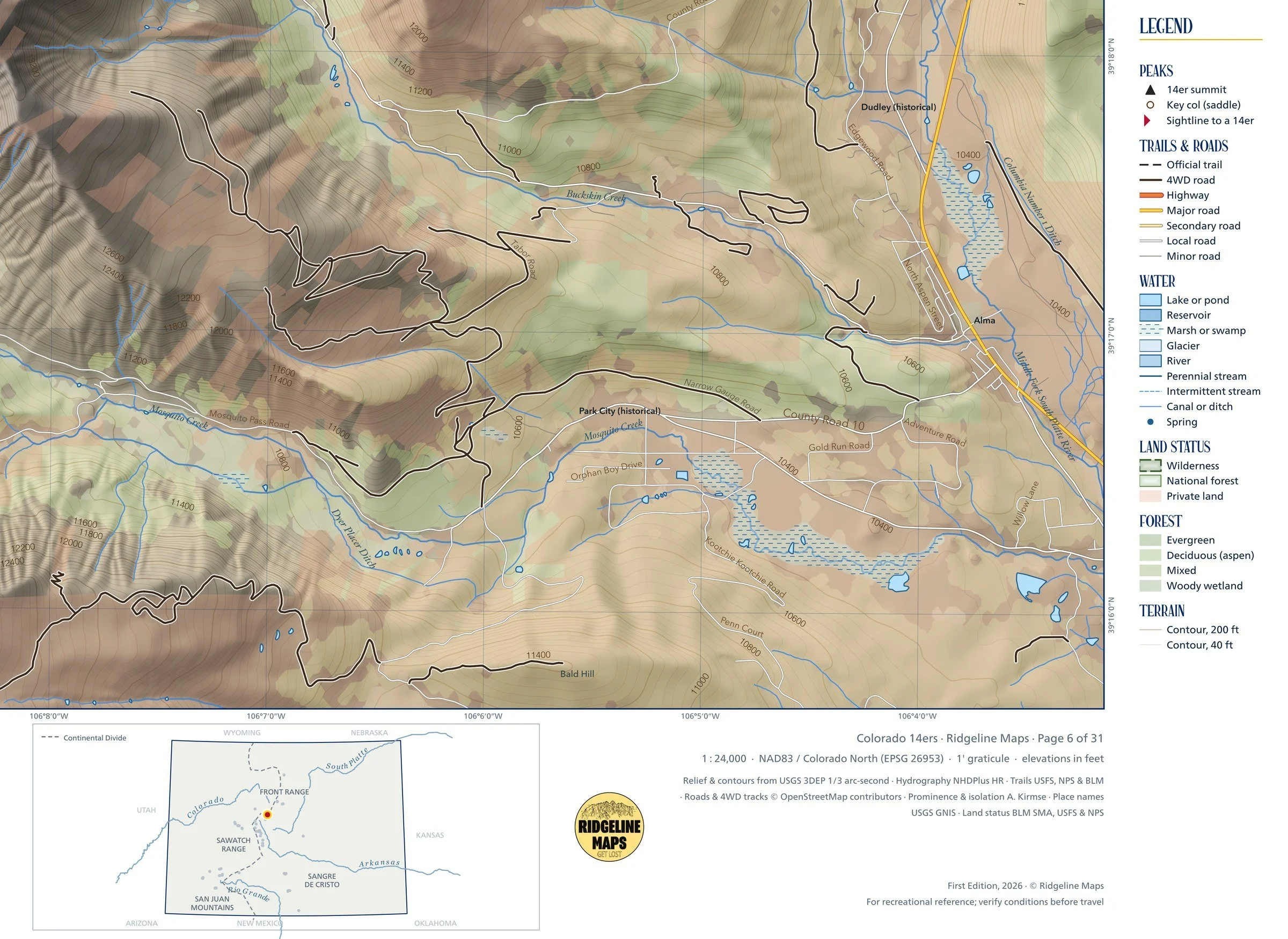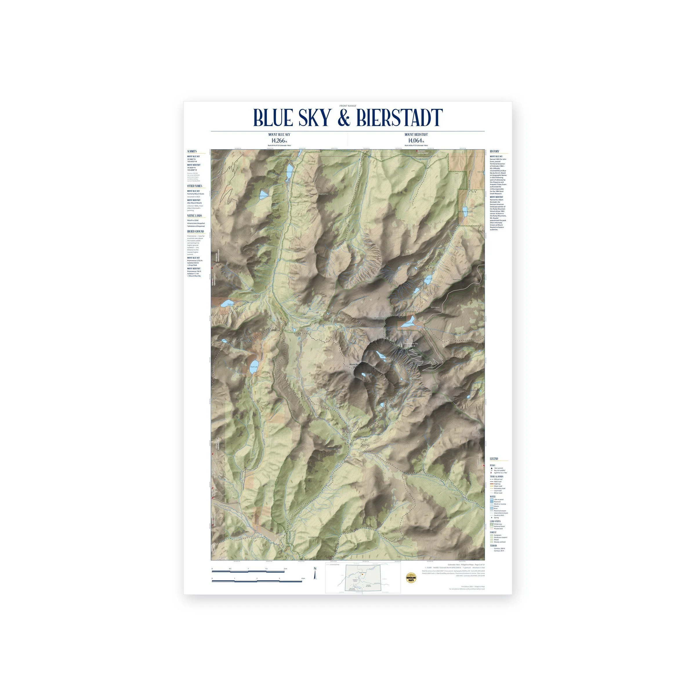
Framed: the 24 × 16-inch print is set behind a 1.5-inch white mat and acrylic glazing in a solid wood frame (black, white or natural oak), with a hanger attached, ready to hang. Framed size about 28.75 × 20.75 inches. Free shipping within the US; framed prints ship to US addresses only.
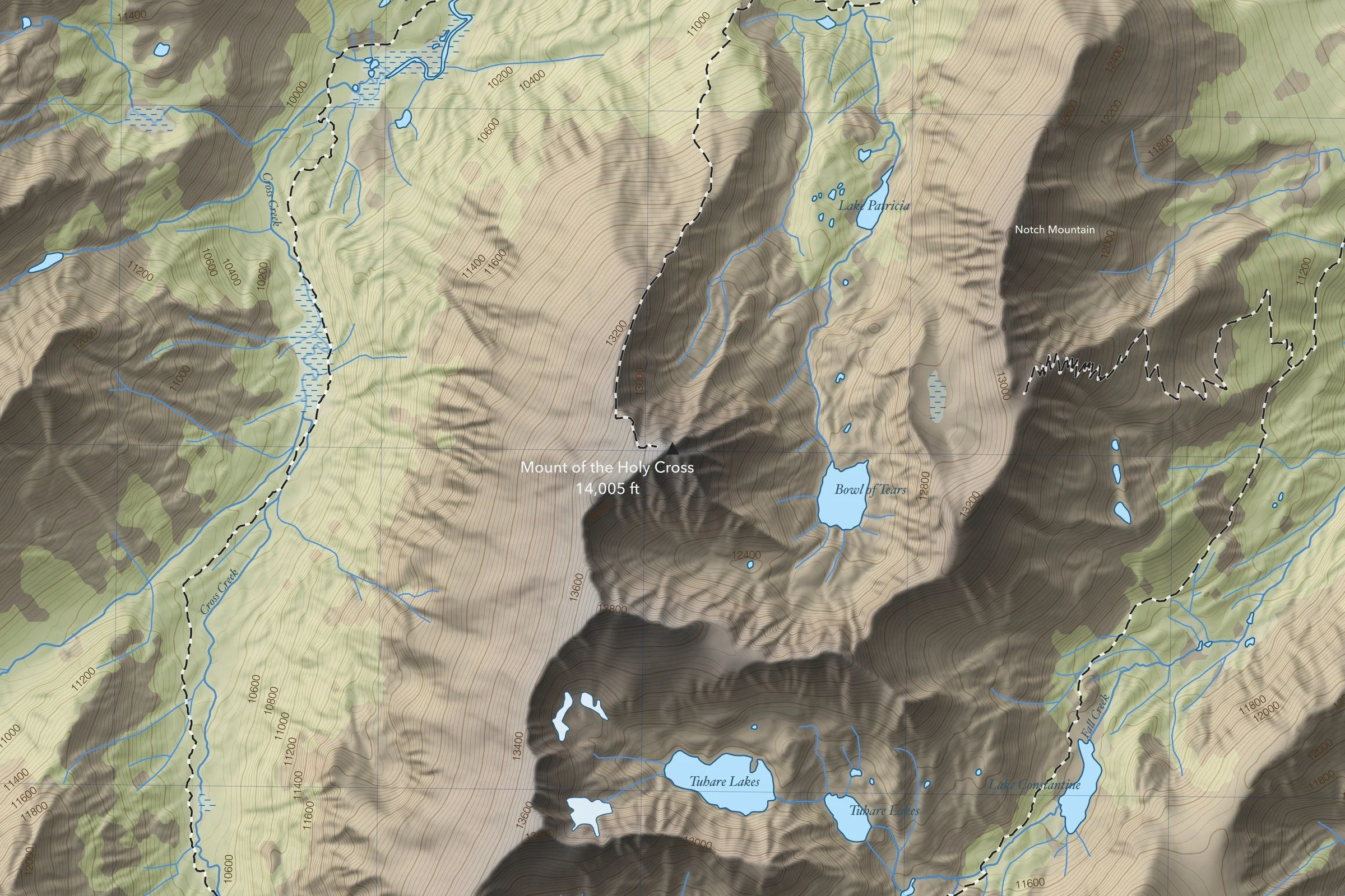
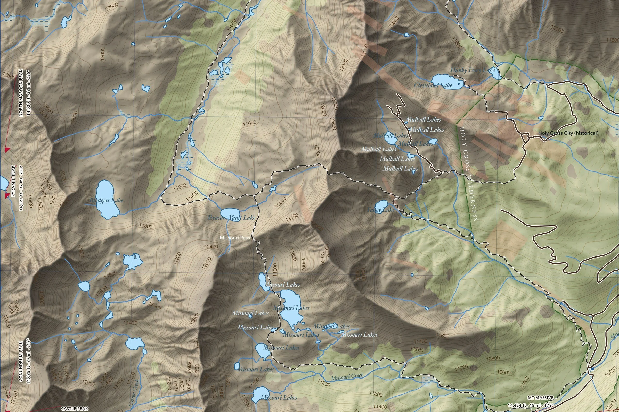
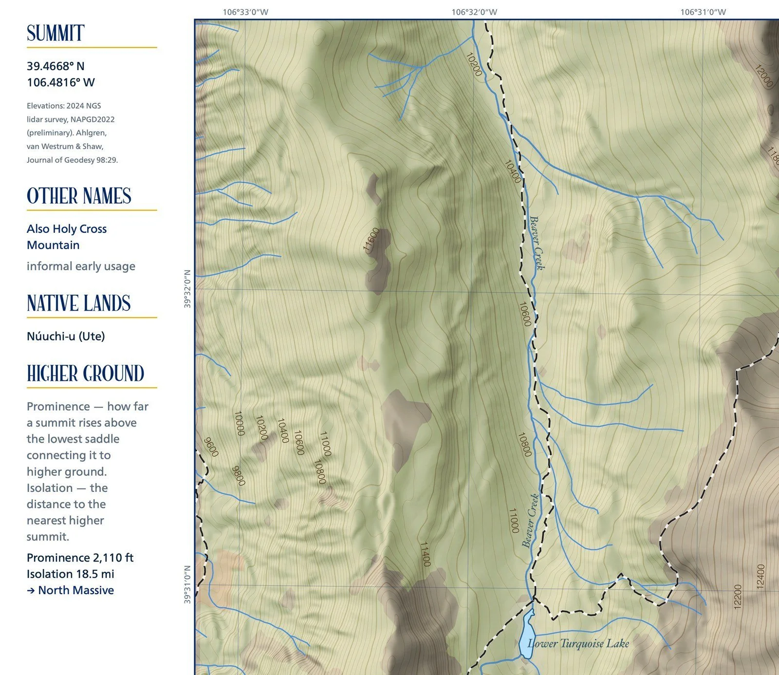
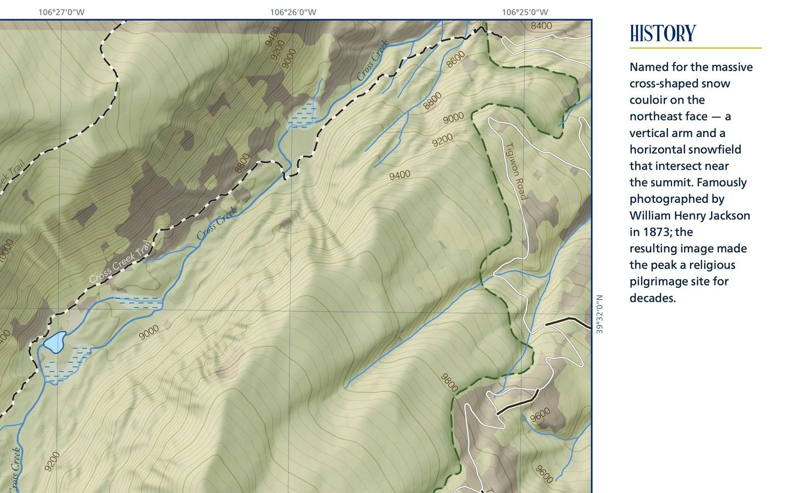
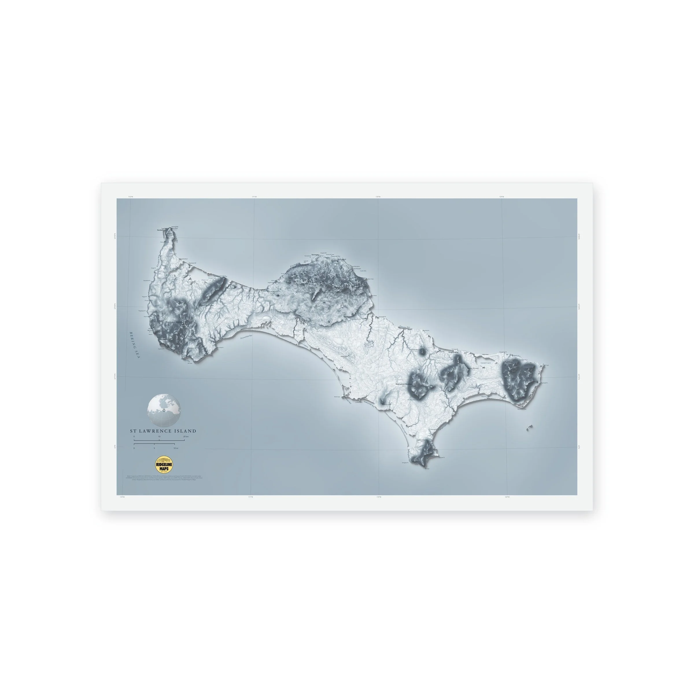
A shaded-relief map of St. Lawrence Island, Alaska, in the northern Bering Sea within sight of Siberia, with its tundra, lakes and volcanic hills. Printed 24 × 16 inches.
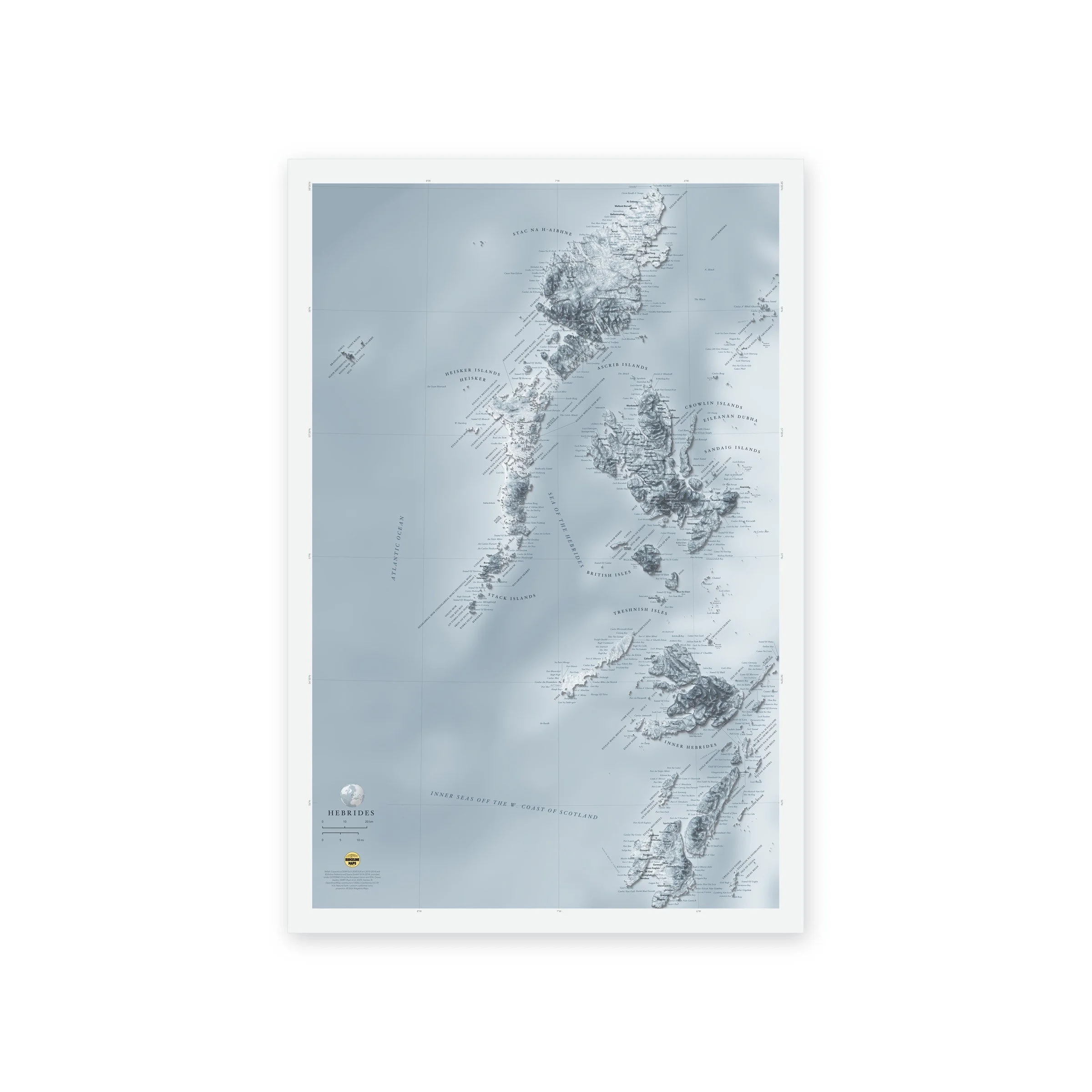
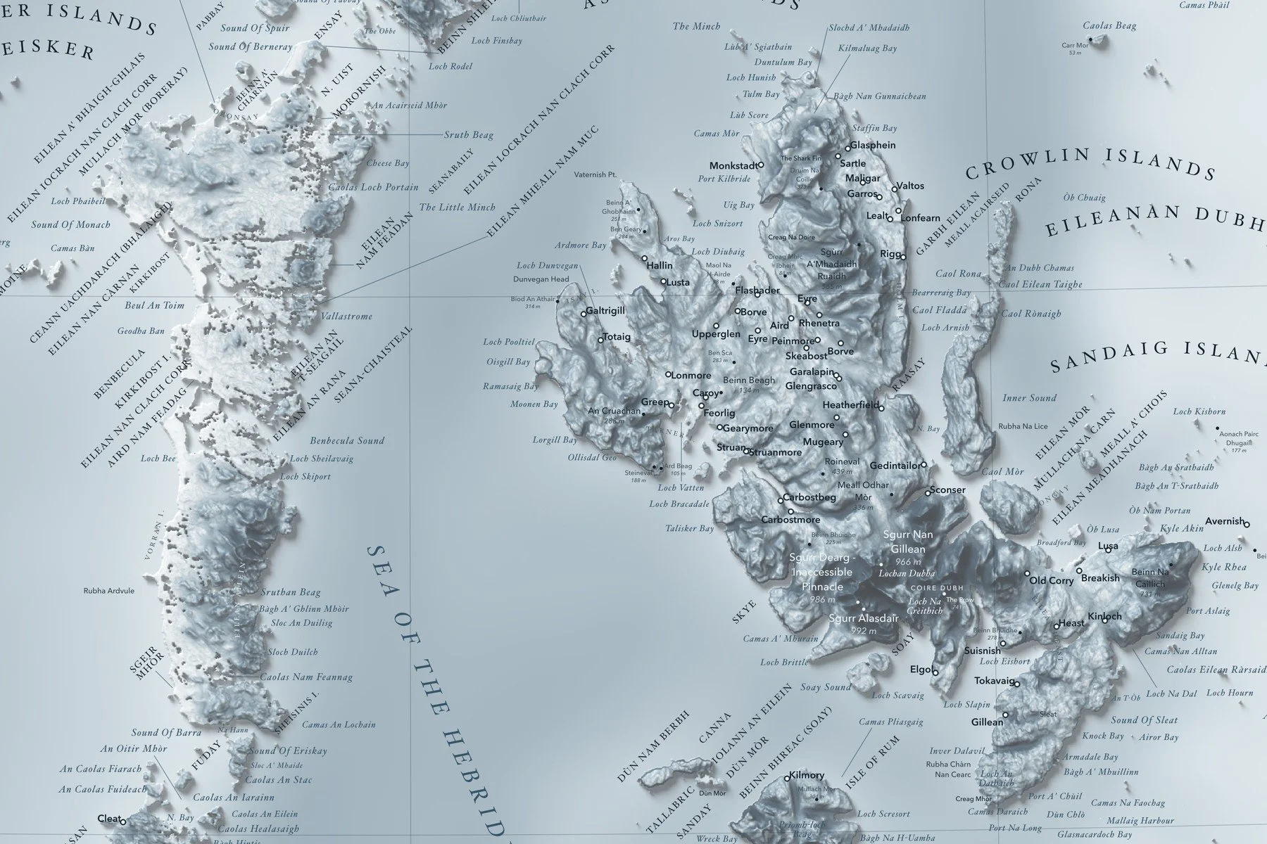
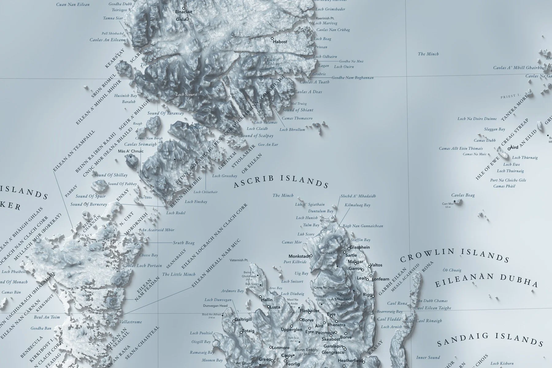
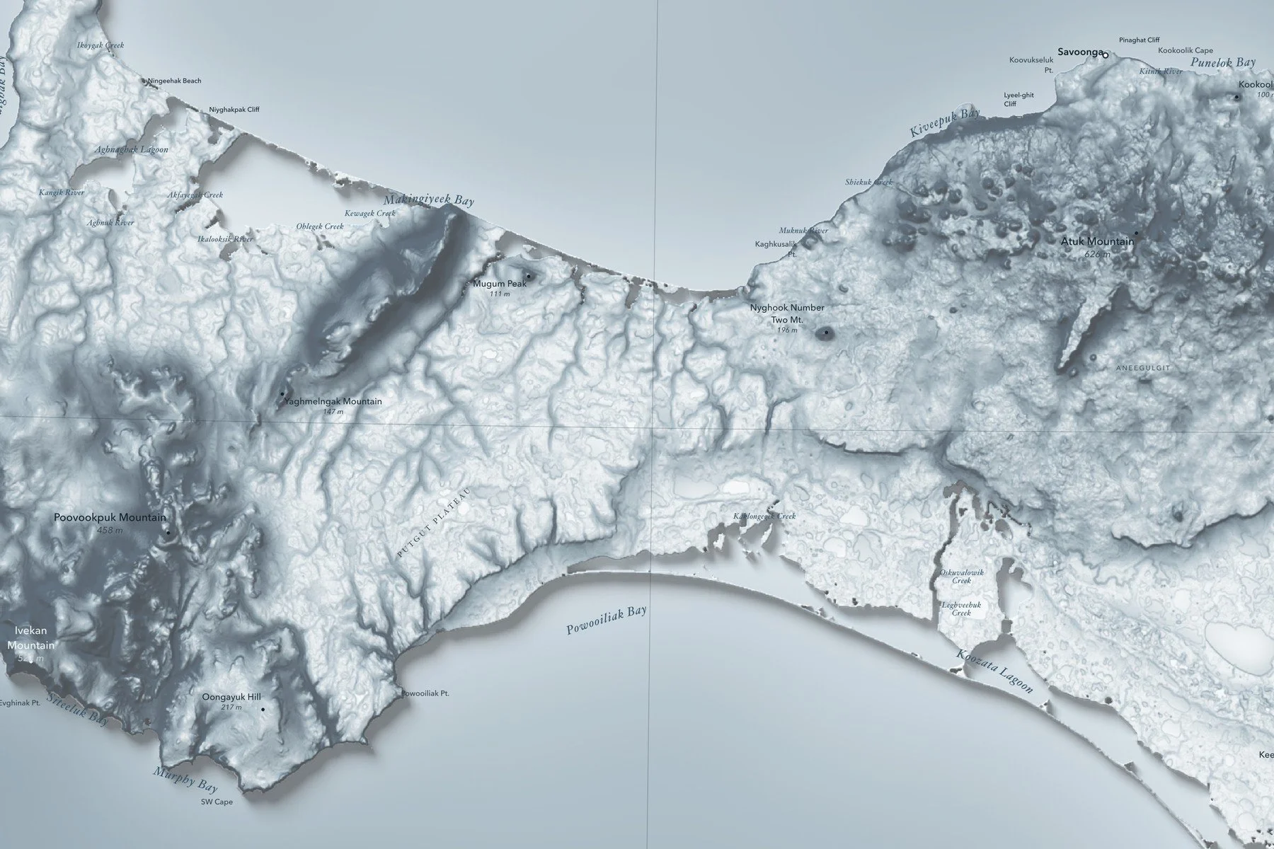
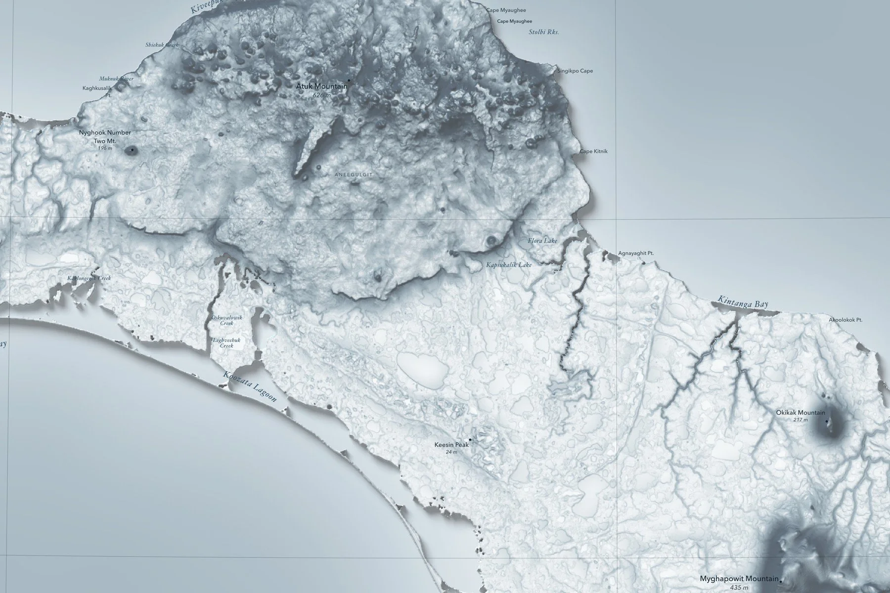
Peaks with their heights, bays, sounds and headlands are labeled in fine type, with a lat/long grid, a scale bar and a small globe showing where in the world it sits. Printed on fine art hot press paper. Part of the Island Relief Maps series from Ridgeline Maps.
Framed: the 24 × 16-inch print is set behind a 1.5-inch white mat and acrylic glazing in a solid wood frame (black, white or natural oak), with a hanger attached, ready to hang. Framed size about 28.75 × 20.75 inches. Free shipping within the US; framed prints ship to US addresses only.
A shaded-relief map of St. Lawrence Island, Alaska, in the northern Bering Sea within sight of Siberia, with its tundra, lakes and volcanic hills. Printed 24 × 16 inches.
Peaks with their heights, bays, sounds and headlands are labeled in fine type, with a lat/long grid, a scale bar and a small globe showing where in the world it sits. Printed on fine art hot press paper. Part of the Island Relief Maps series from Ridgeline Maps.