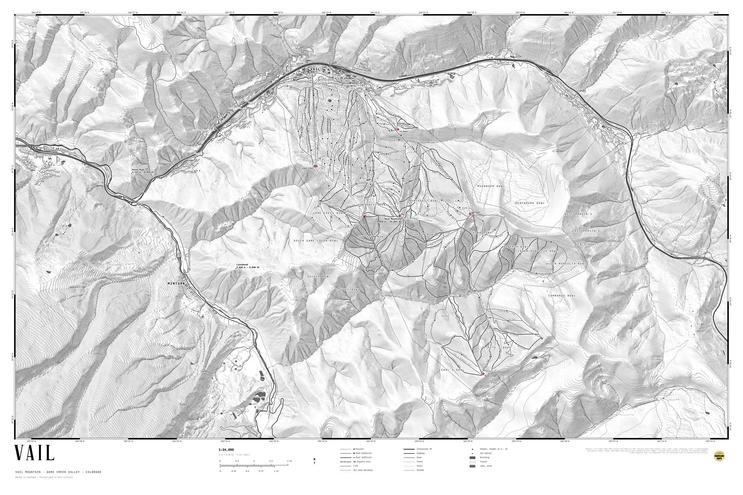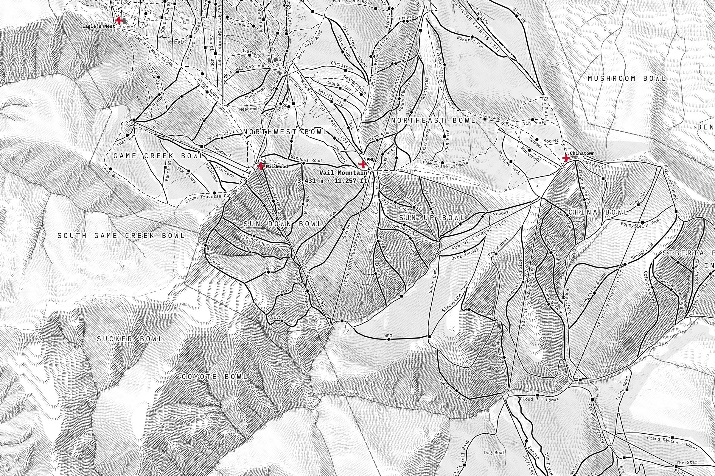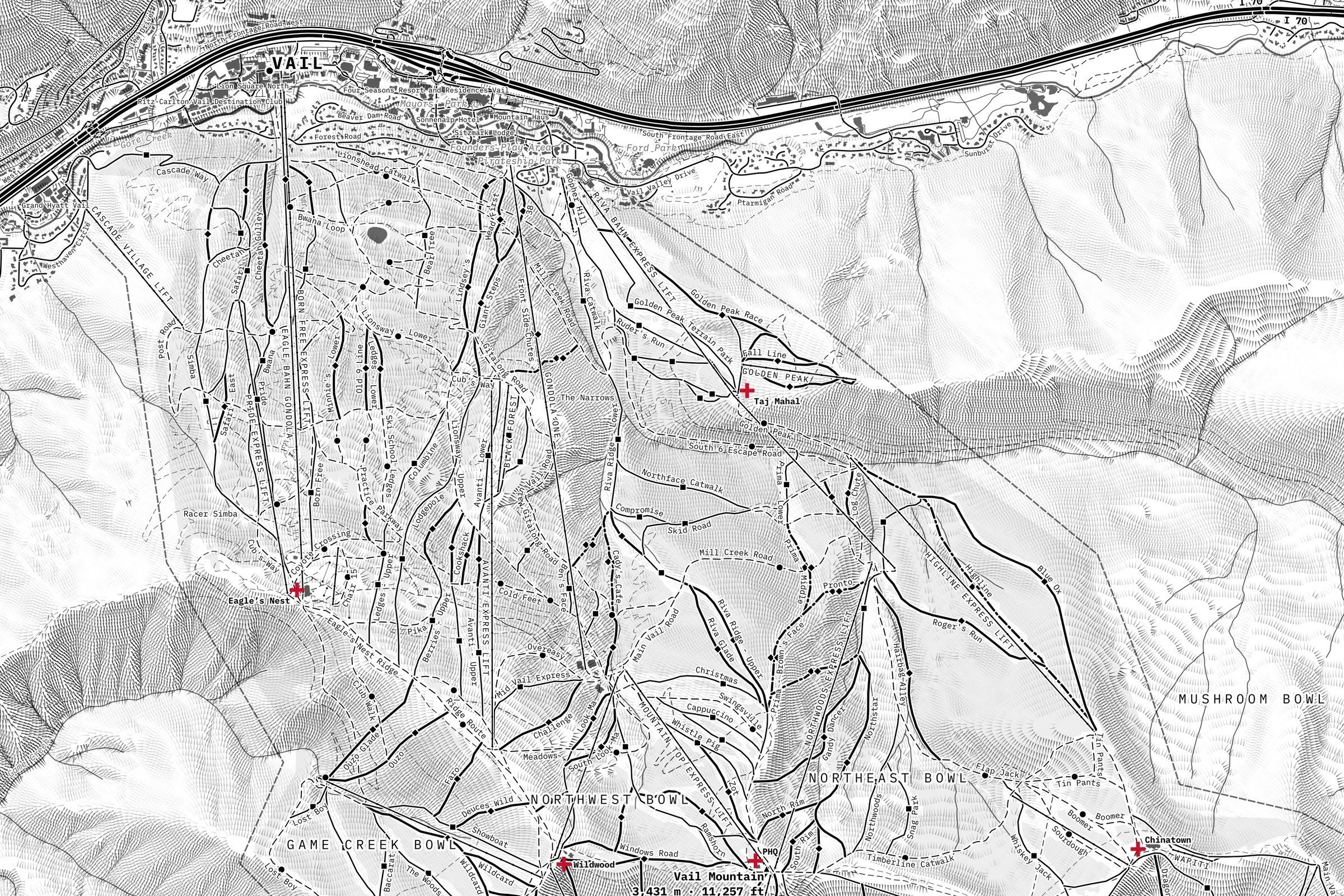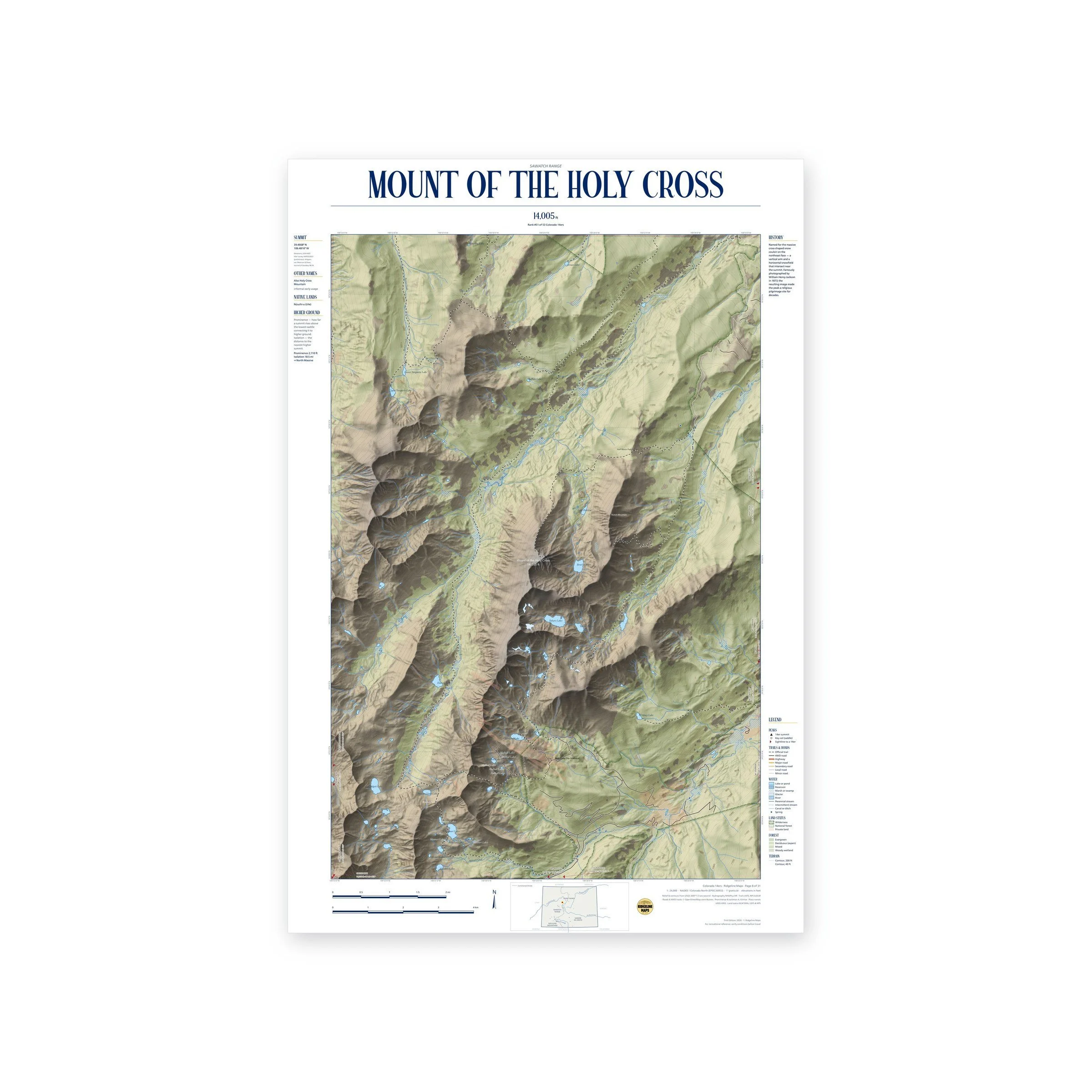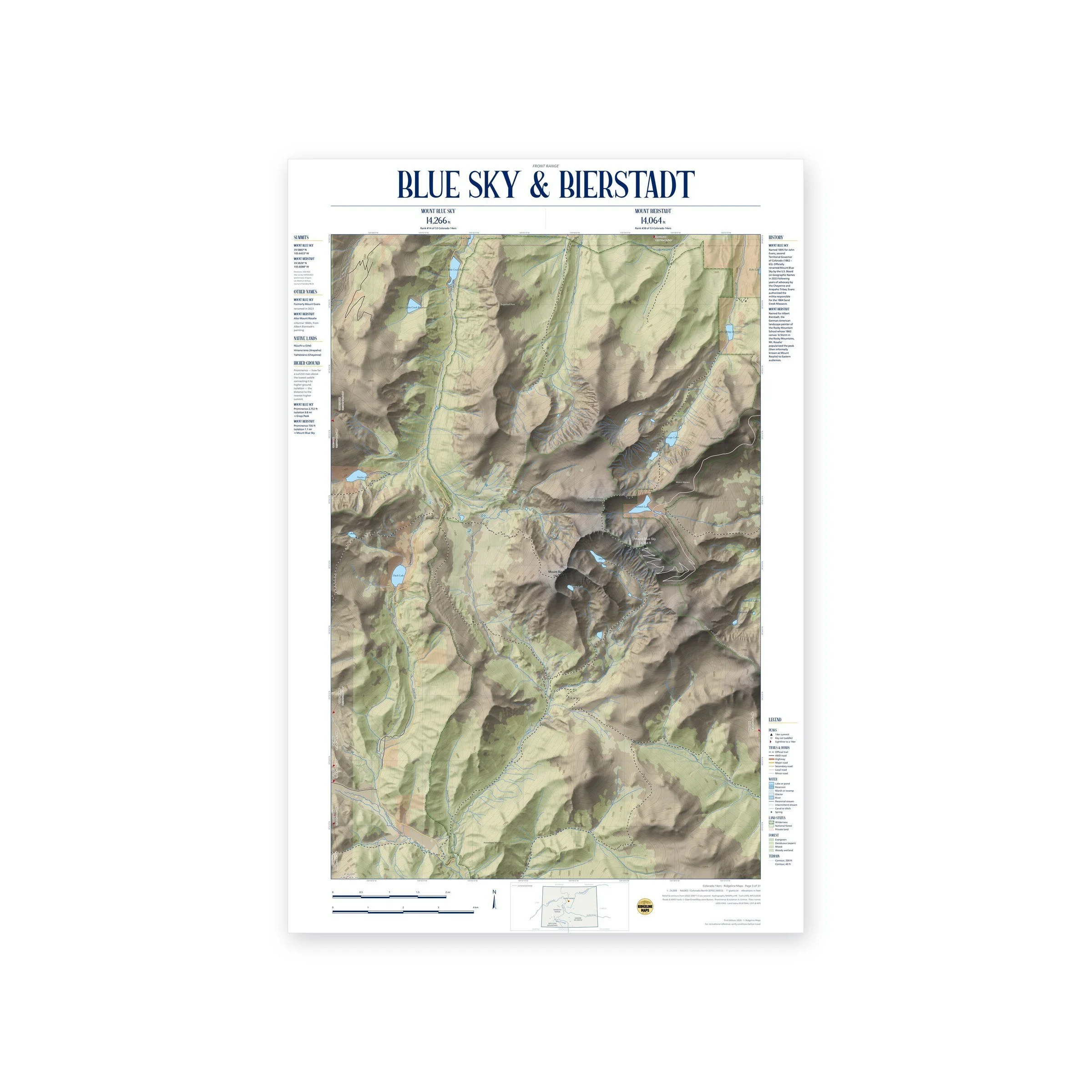
Framed: the 24 × 36-inch print is set behind a 2-inch white mat and acrylic glazing in a solid wood frame (black, white or natural oak), with a hanger attached, ready to hang. Framed size about 29.75 × 41.75 inches. Free shipping within the US; framed prints ship to US addresses only.
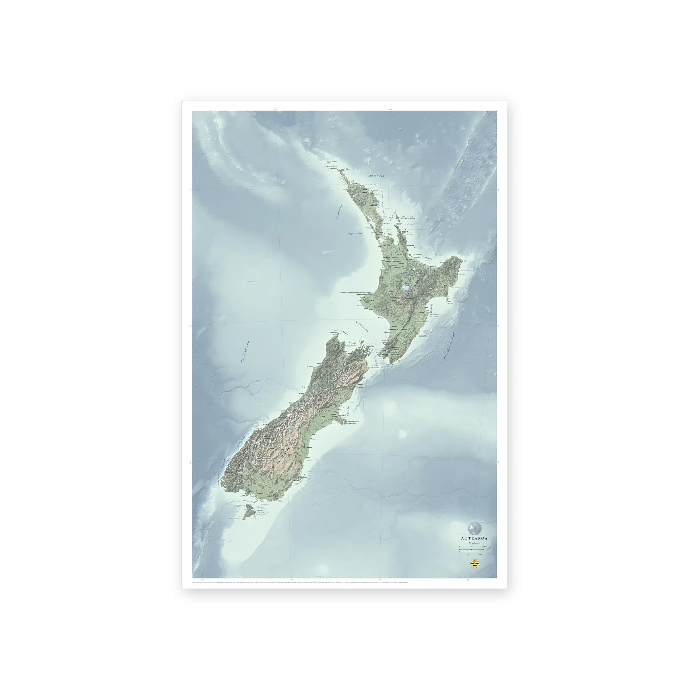
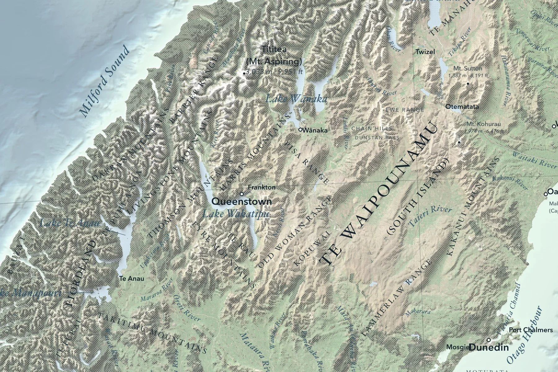
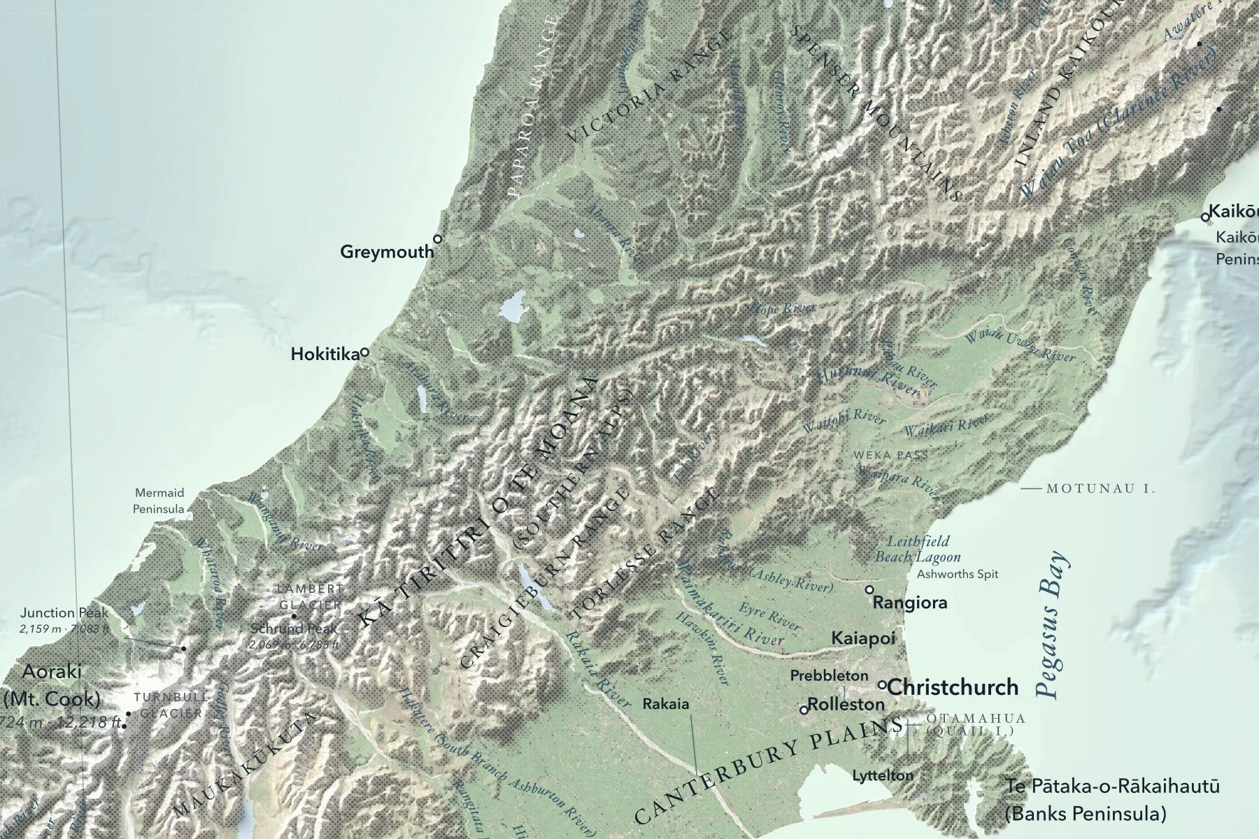
A shaded-relief map of Aotearoa New Zealand, from Te Rerenga Wairua (Cape Reinga) to Rakiura (Stewart Island), with Kā Tiritiri o te Moana (the Southern Alps), the volcanic heart of the North Island and the ridges and trenches of the surrounding sea floor. Places carry their Māori names alongside the English. Printed 24 × 36 inches.
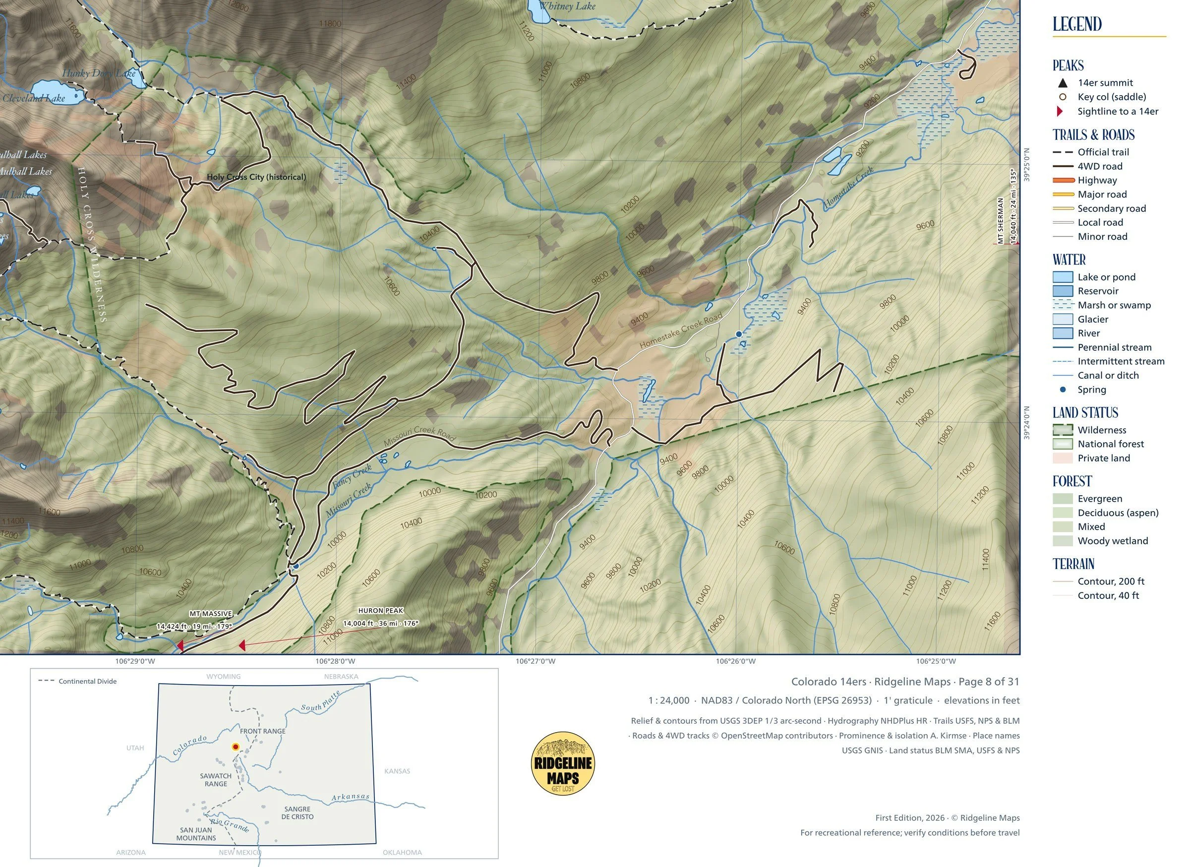
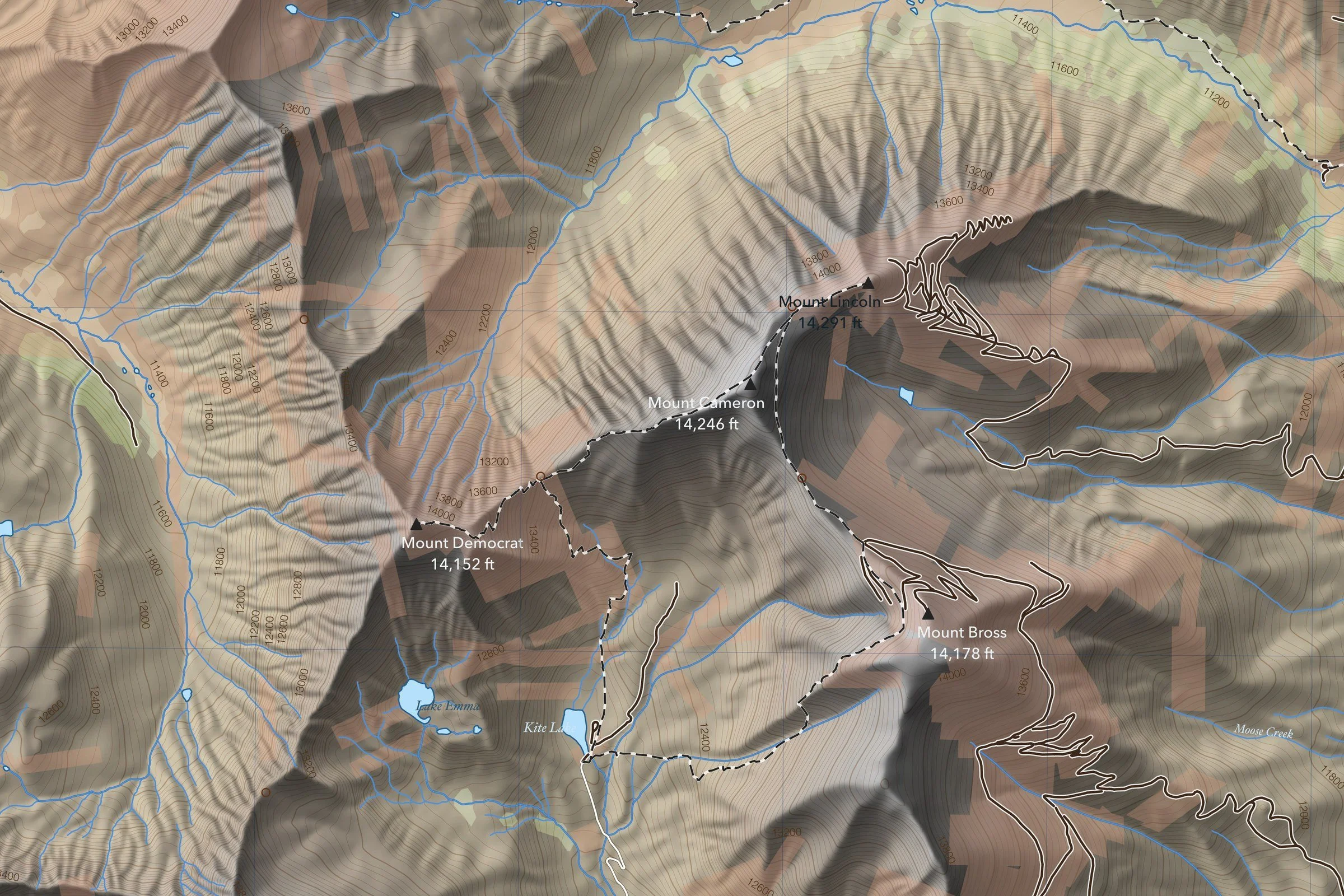
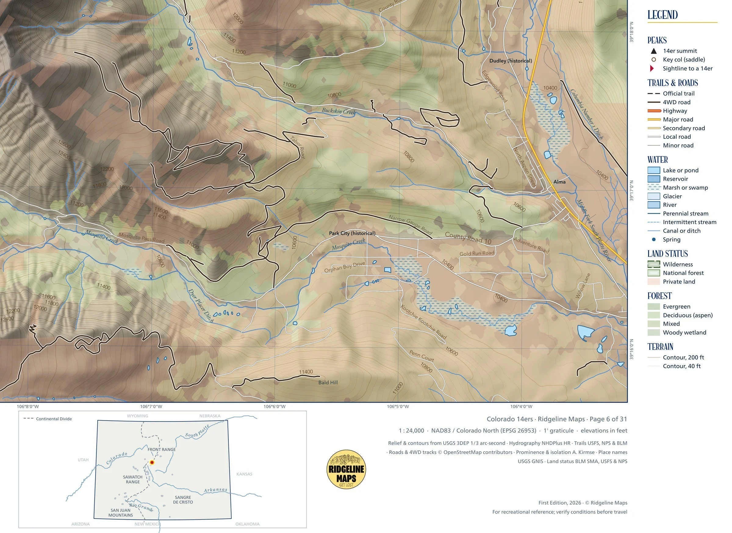
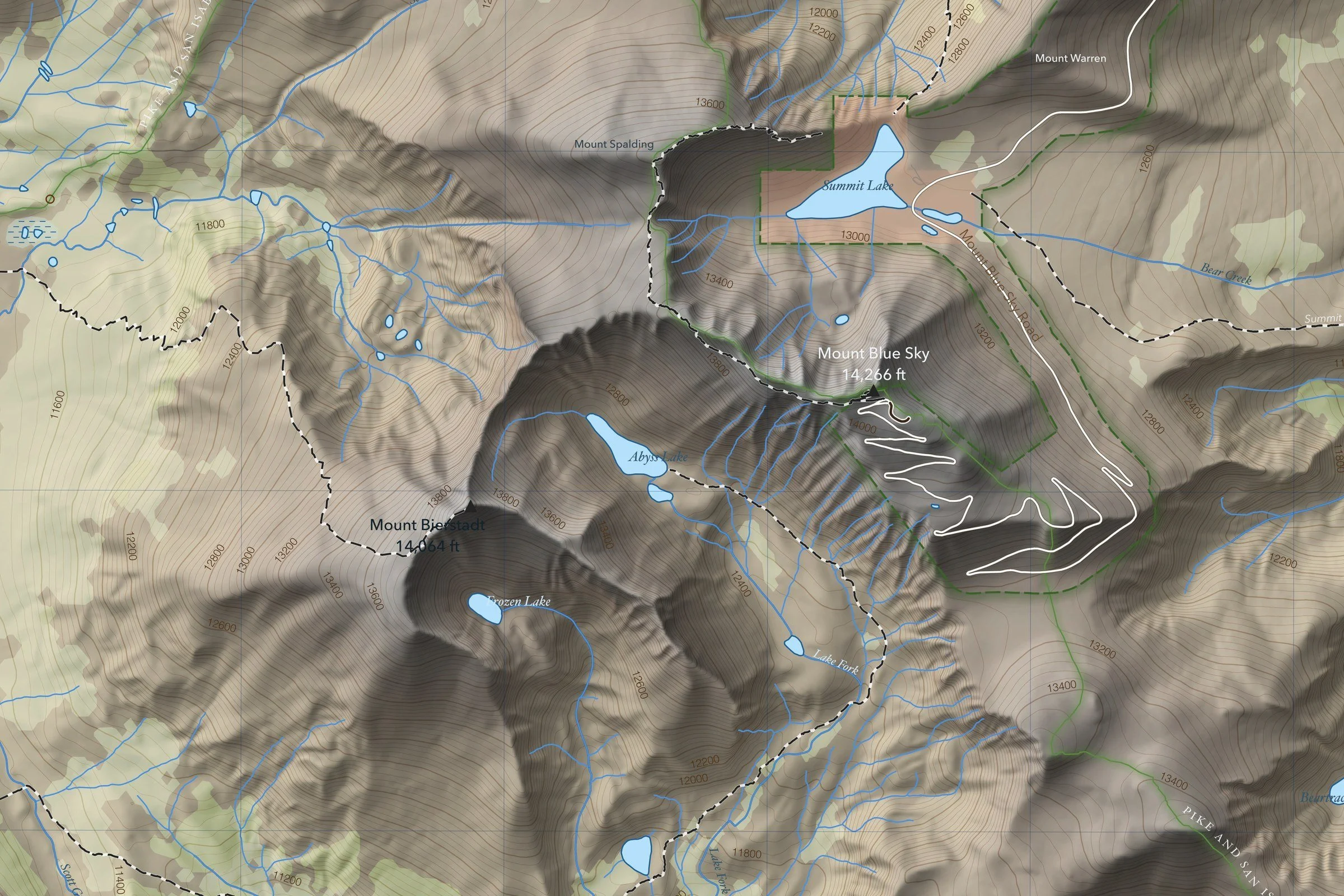
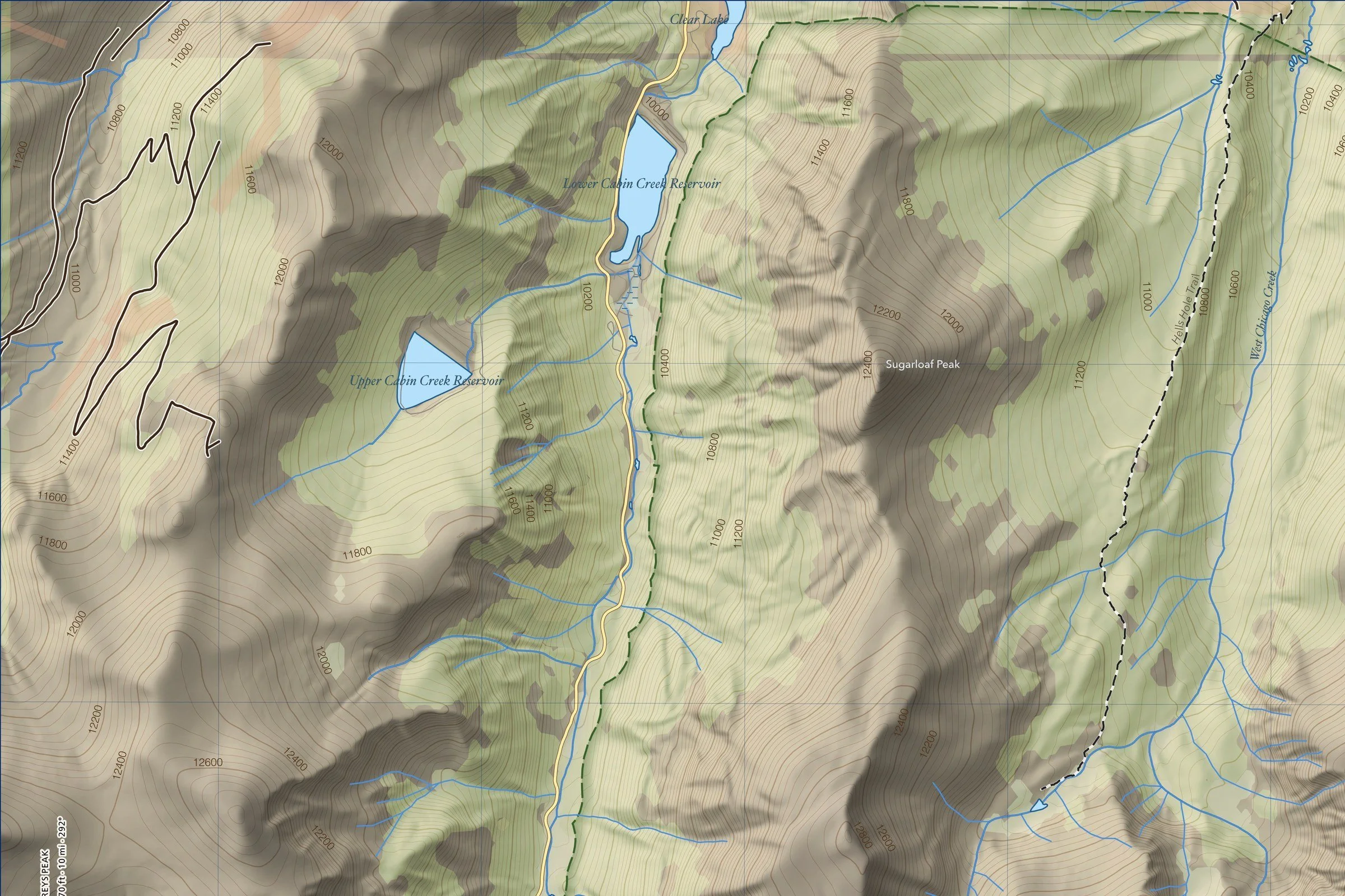
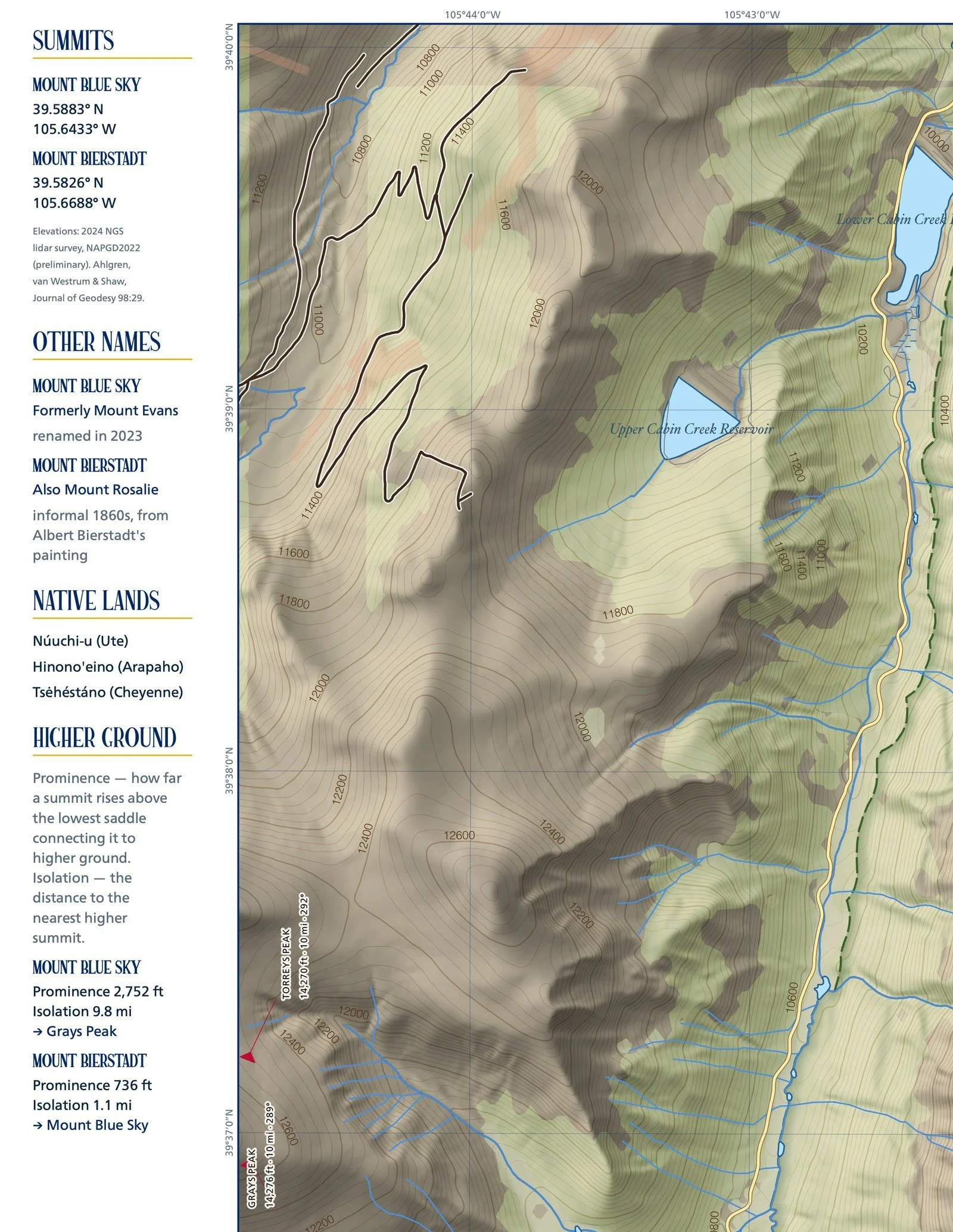
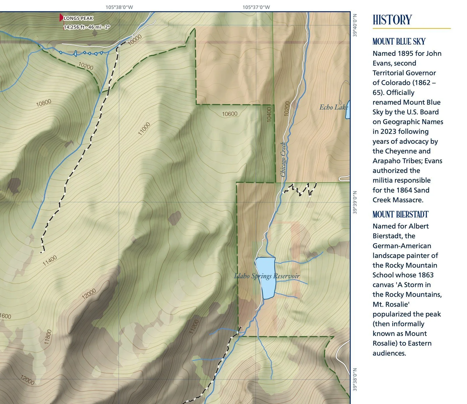
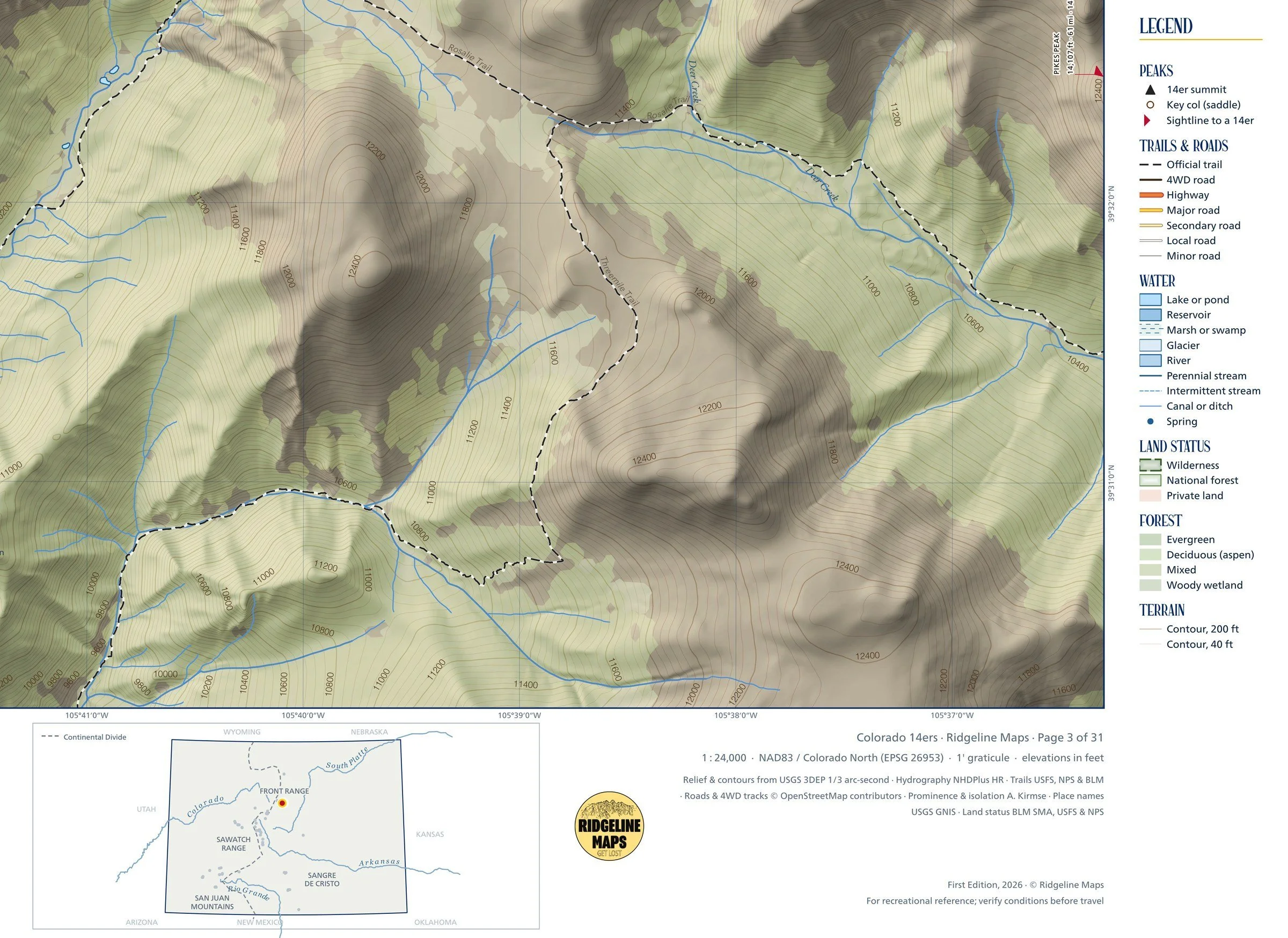
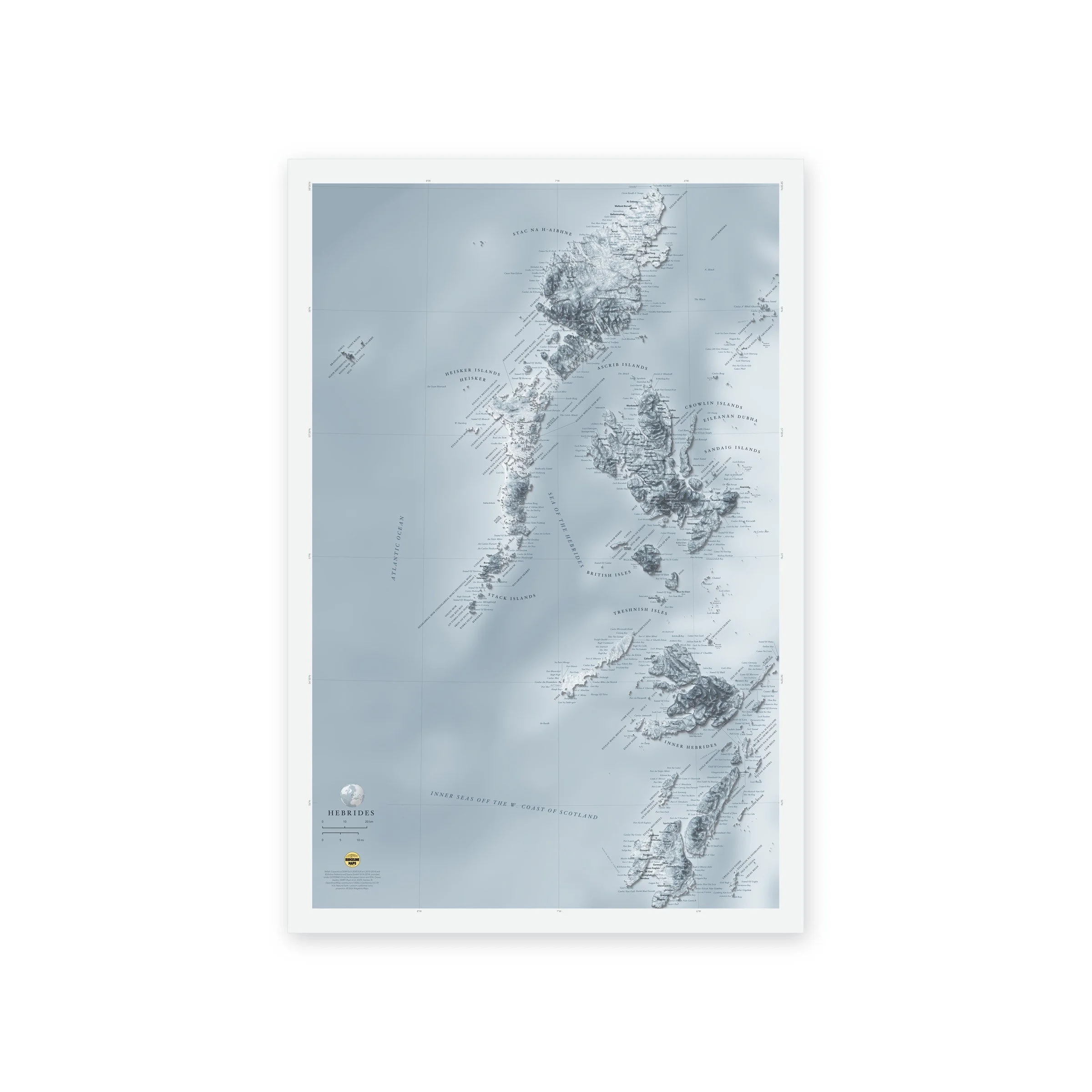
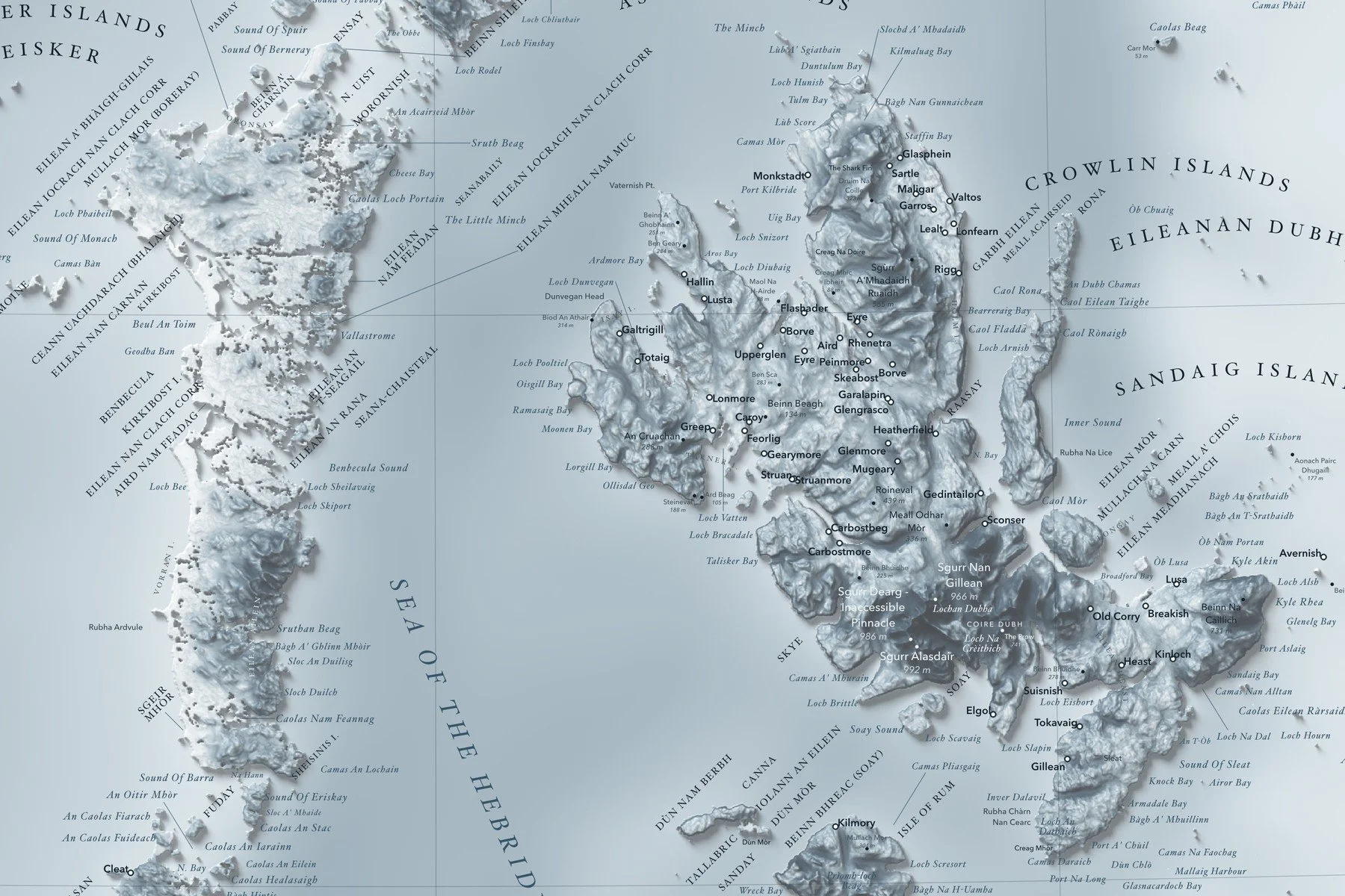
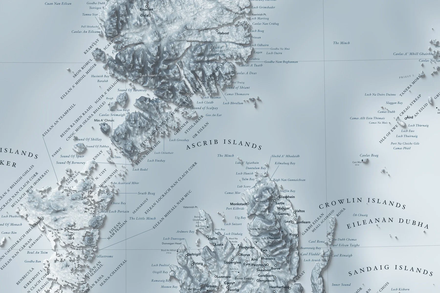
Peaks with their heights, rivers, lakes, bays, sounds and headlands are labeled in fine type, with a lat/long grid, a scale bar and a small globe showing where in the world it sits. Printed on fine art hot press paper. From Ridgeline Maps.
Framed: the 24 × 36-inch print is set behind a 2-inch white mat and acrylic glazing in a solid wood frame (black, white or natural oak), with a hanger attached, ready to hang. Framed size about 29.75 × 41.75 inches. Free shipping within the US; framed prints ship to US addresses only.
A shaded-relief map of Aotearoa New Zealand, from Te Rerenga Wairua (Cape Reinga) to Rakiura (Stewart Island), with Kā Tiritiri o te Moana (the Southern Alps), the volcanic heart of the North Island and the ridges and trenches of the surrounding sea floor. Places carry their Māori names alongside the English. Printed 24 × 36 inches.
Peaks with their heights, rivers, lakes, bays, sounds and headlands are labeled in fine type, with a lat/long grid, a scale bar and a small globe showing where in the world it sits. Printed on fine art hot press paper. From Ridgeline Maps.