Framed: the 24 × 36-inch print is set behind a 2-inch white mat and acrylic glazing in a solid wood frame (black, white or natural oak), with a hanger attached, ready to hang. Framed size about 29.75 × 41.75 inches. Free shipping within the US; framed prints ship to US addresses only.
Size: 24 × 36 inches (61 × 91 cm)
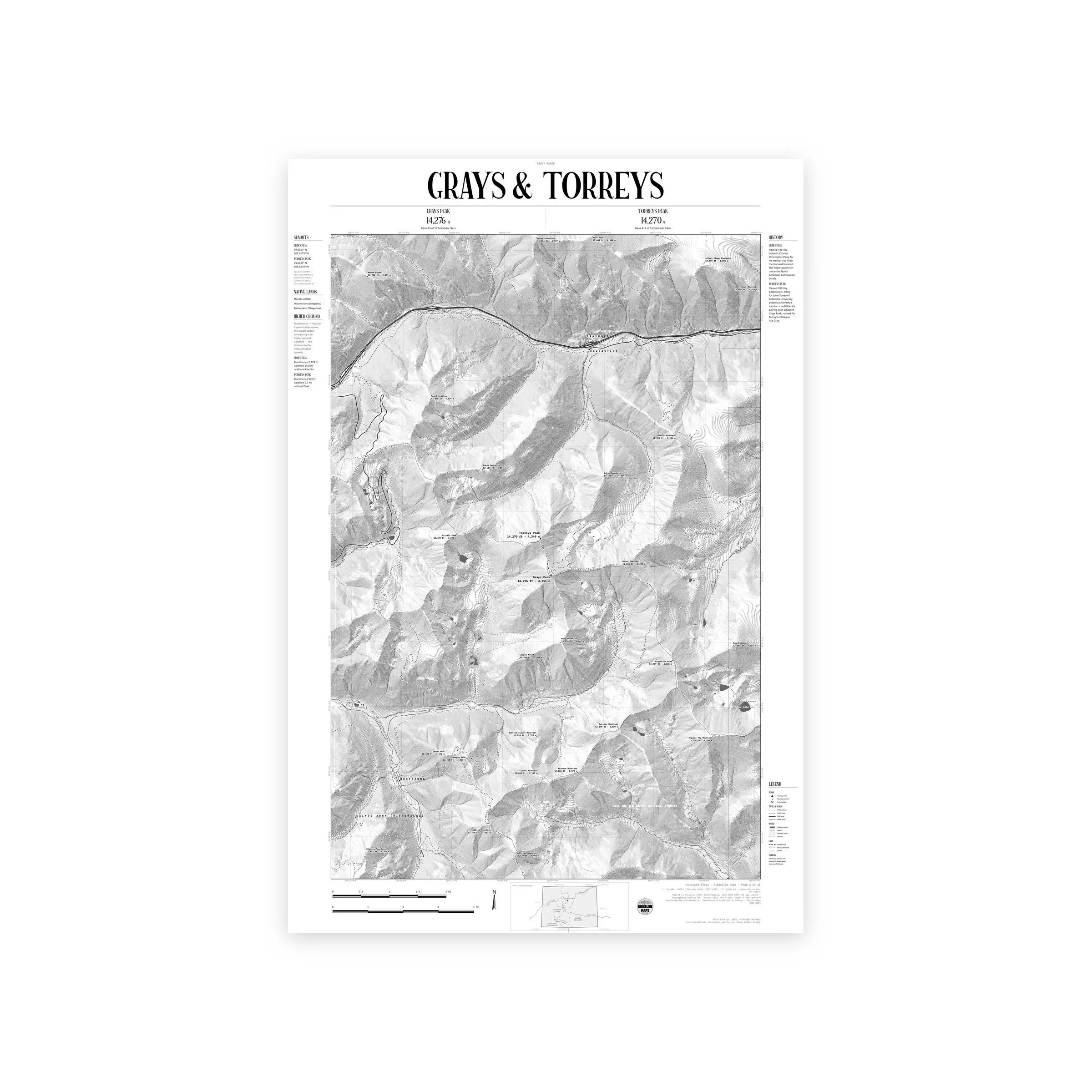
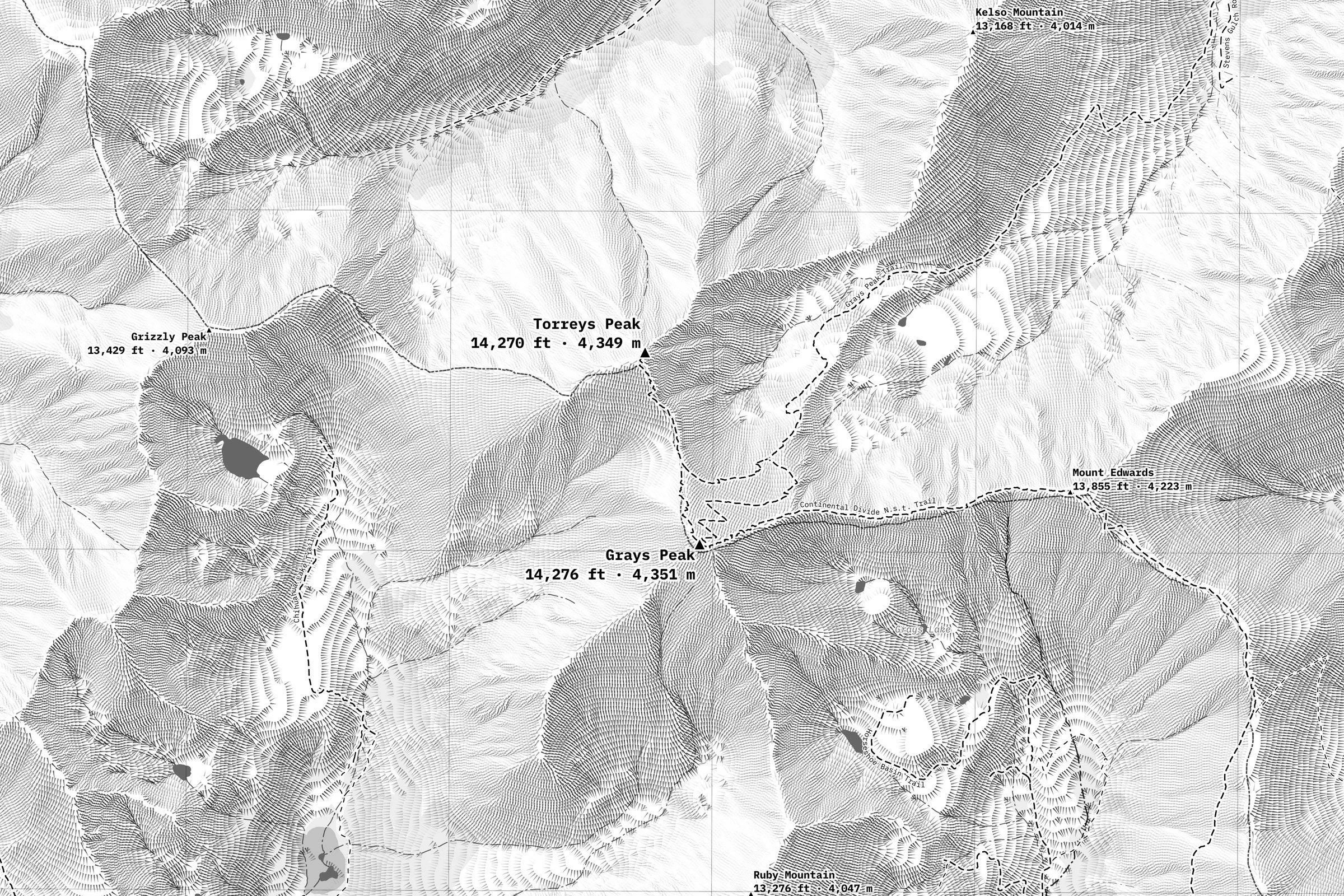
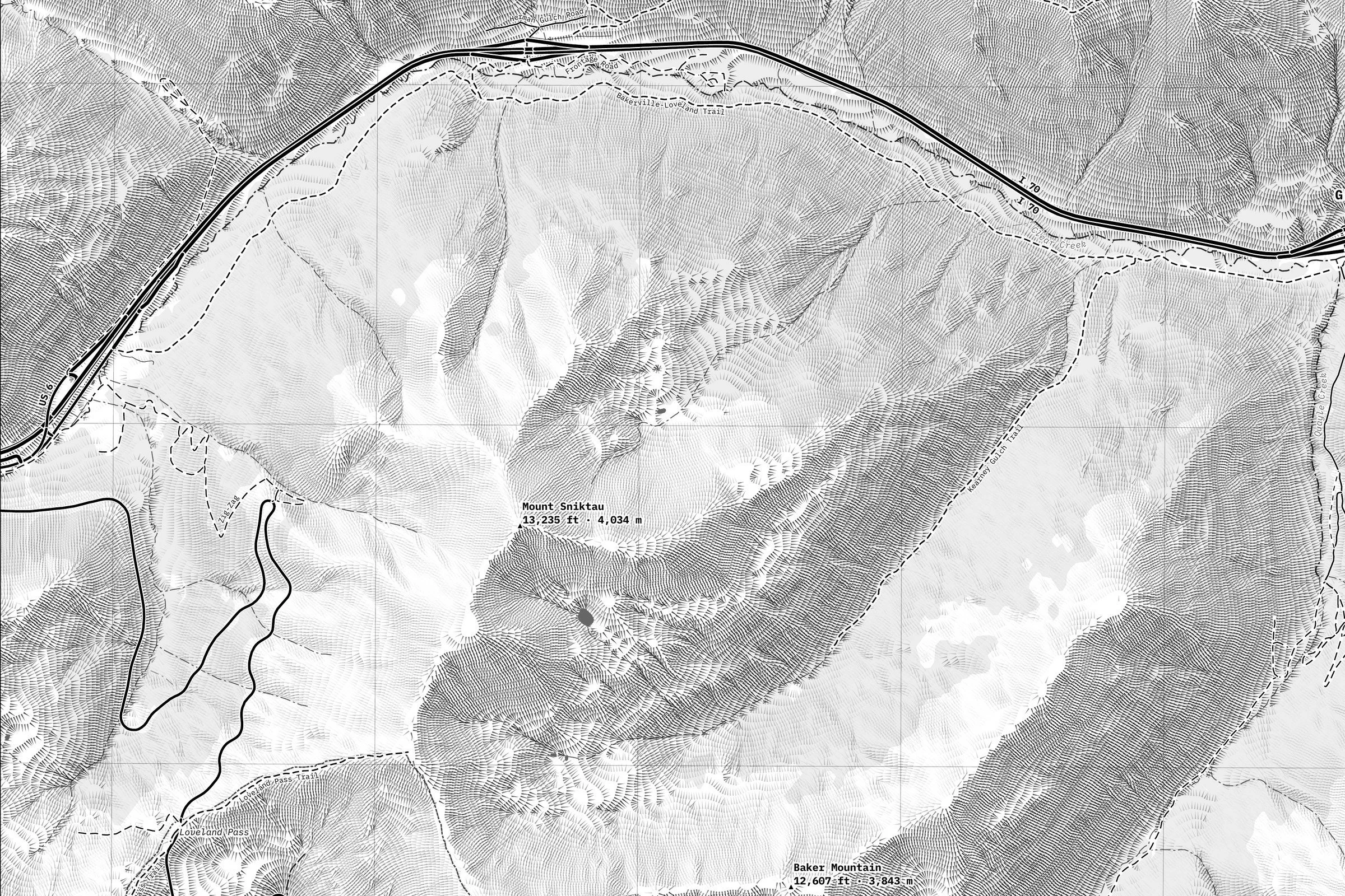
A hachure map of Grays and Torreys, the twin fourteeners on the Continental Divide above Stevens Gulch, the closest pair to Interstate 70. Front Range, Colorado.
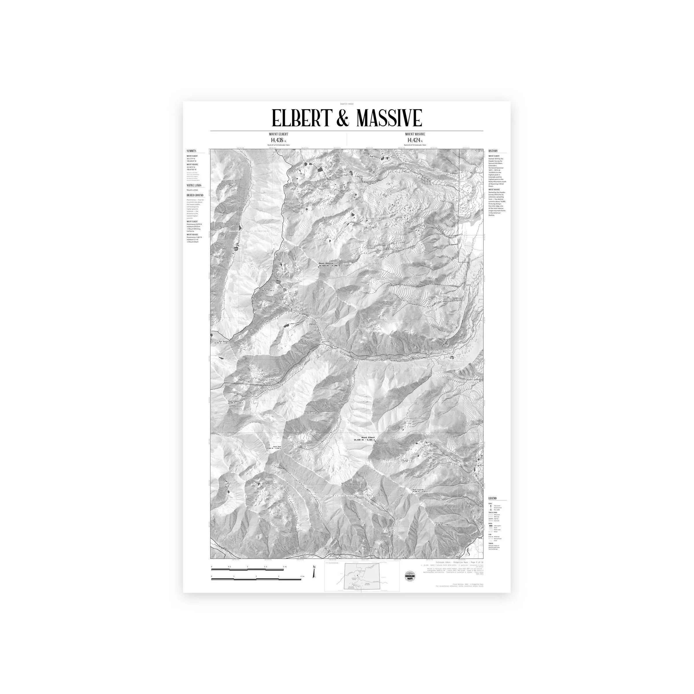
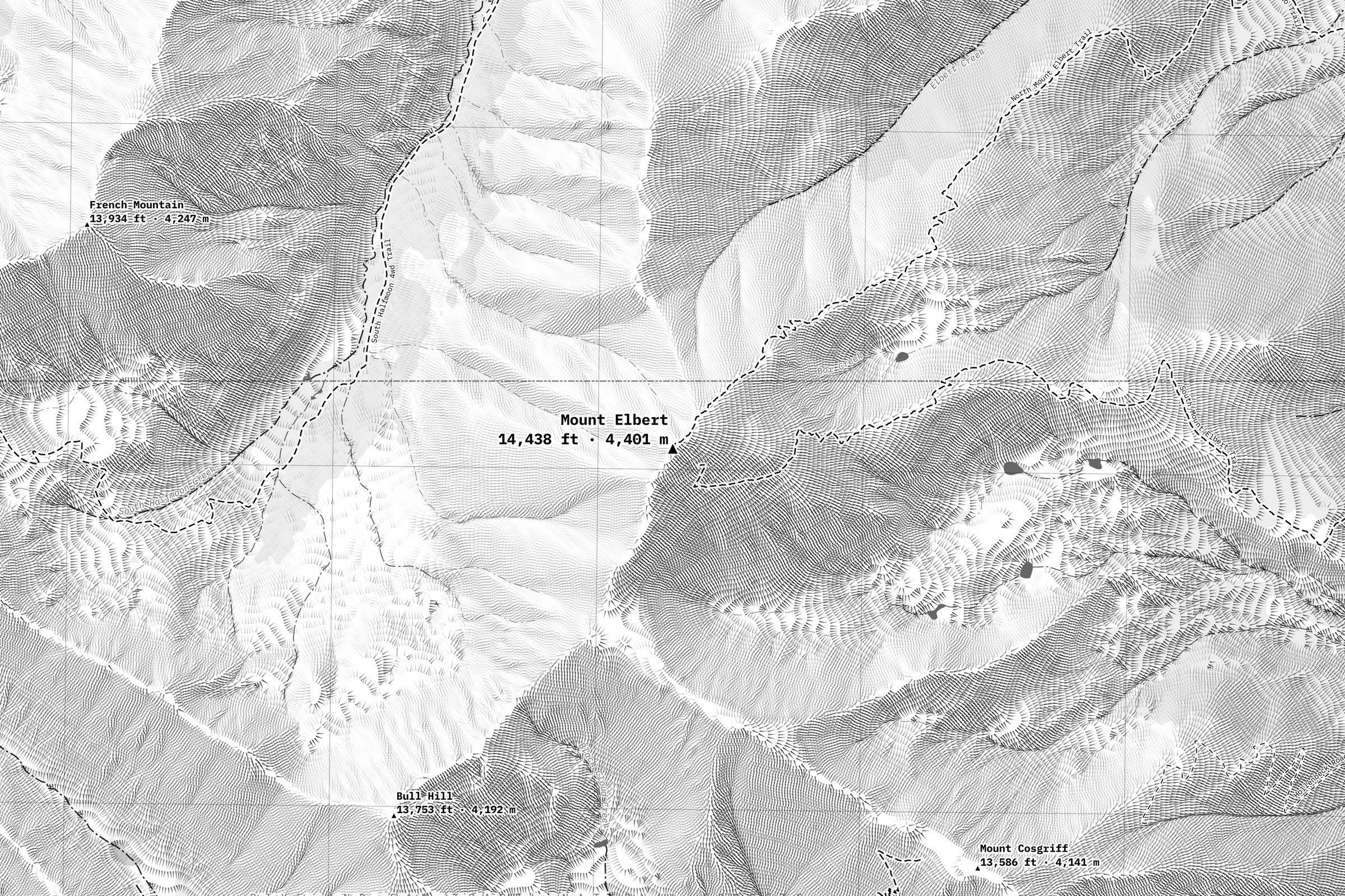
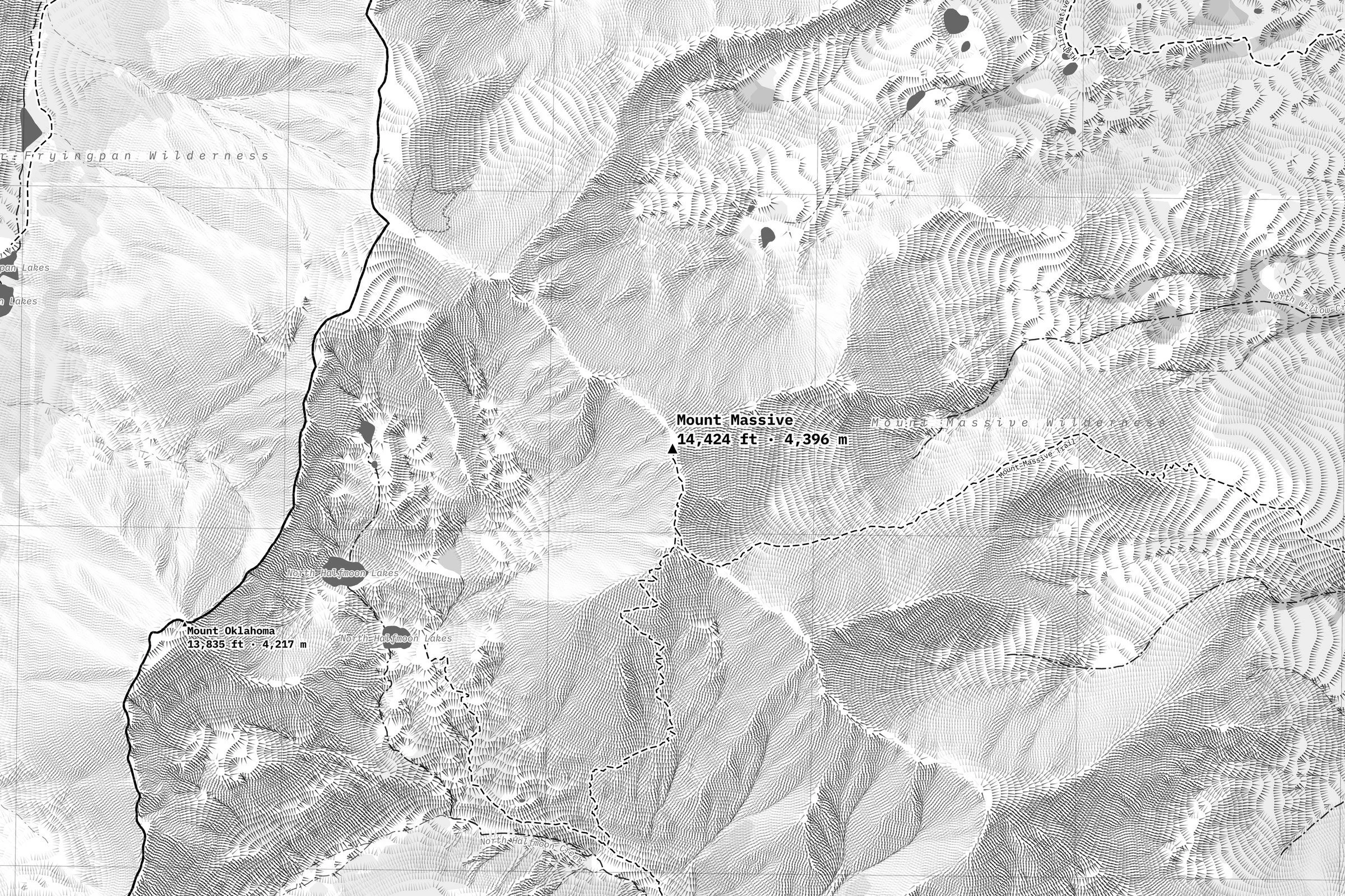
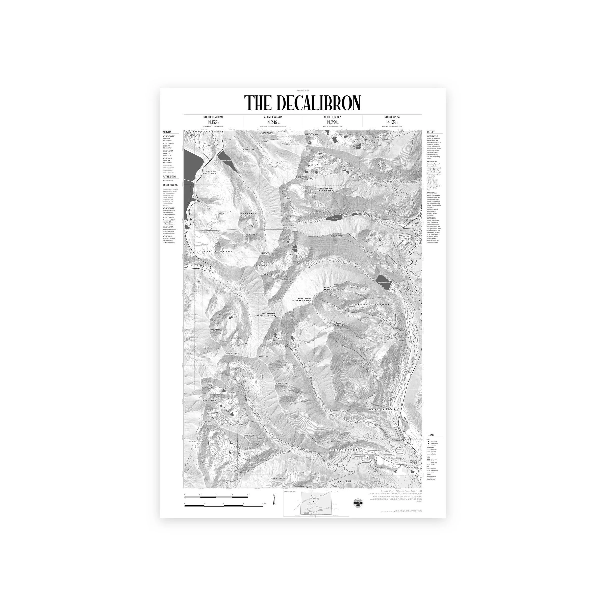
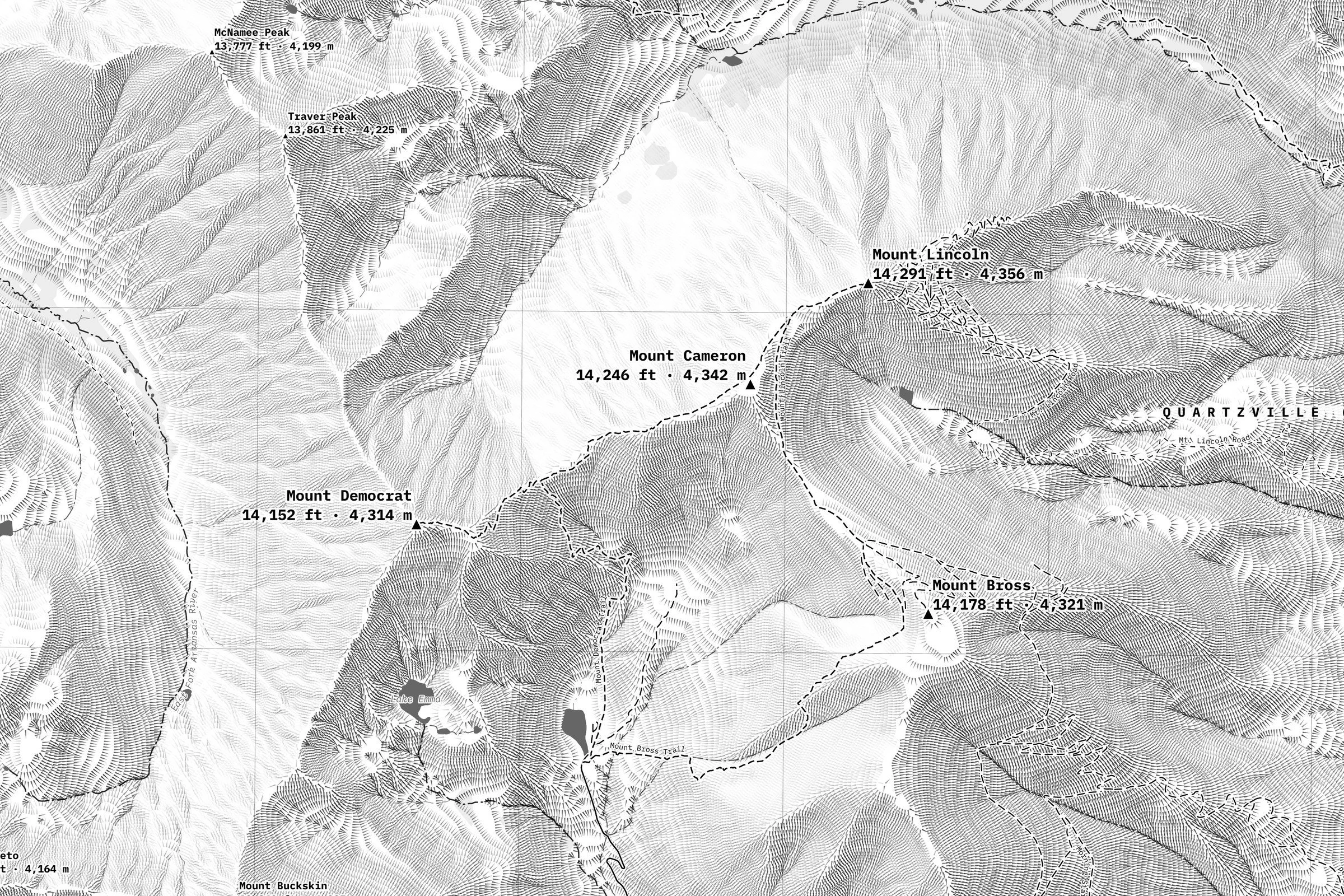
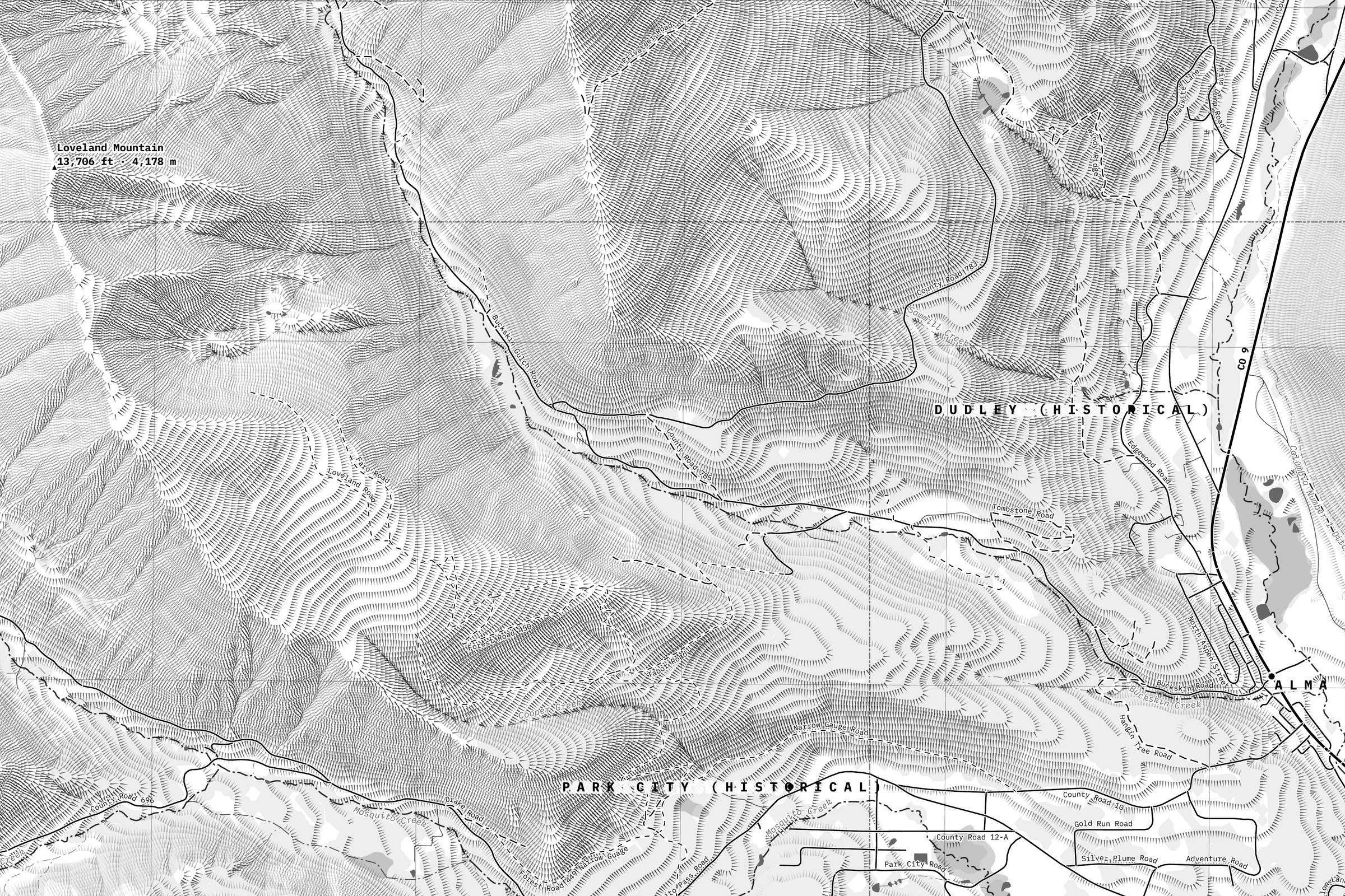
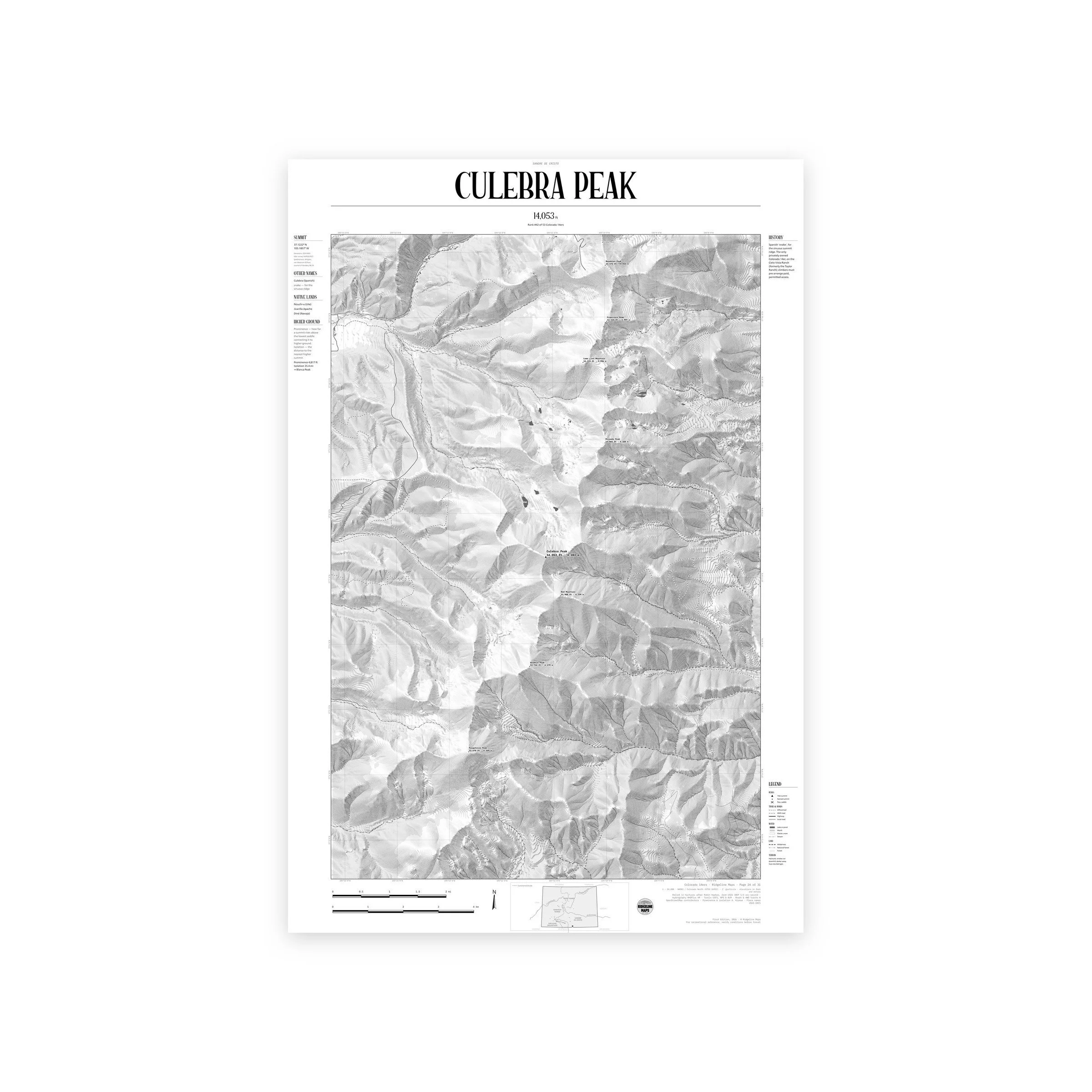
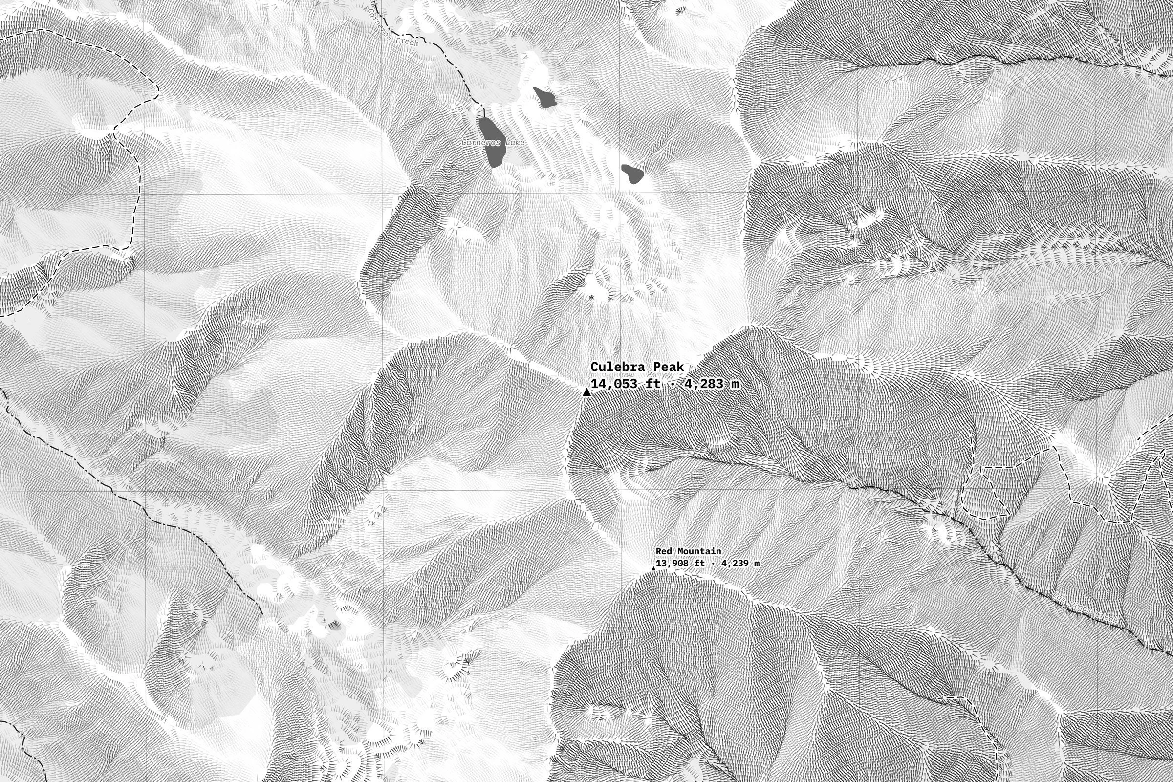
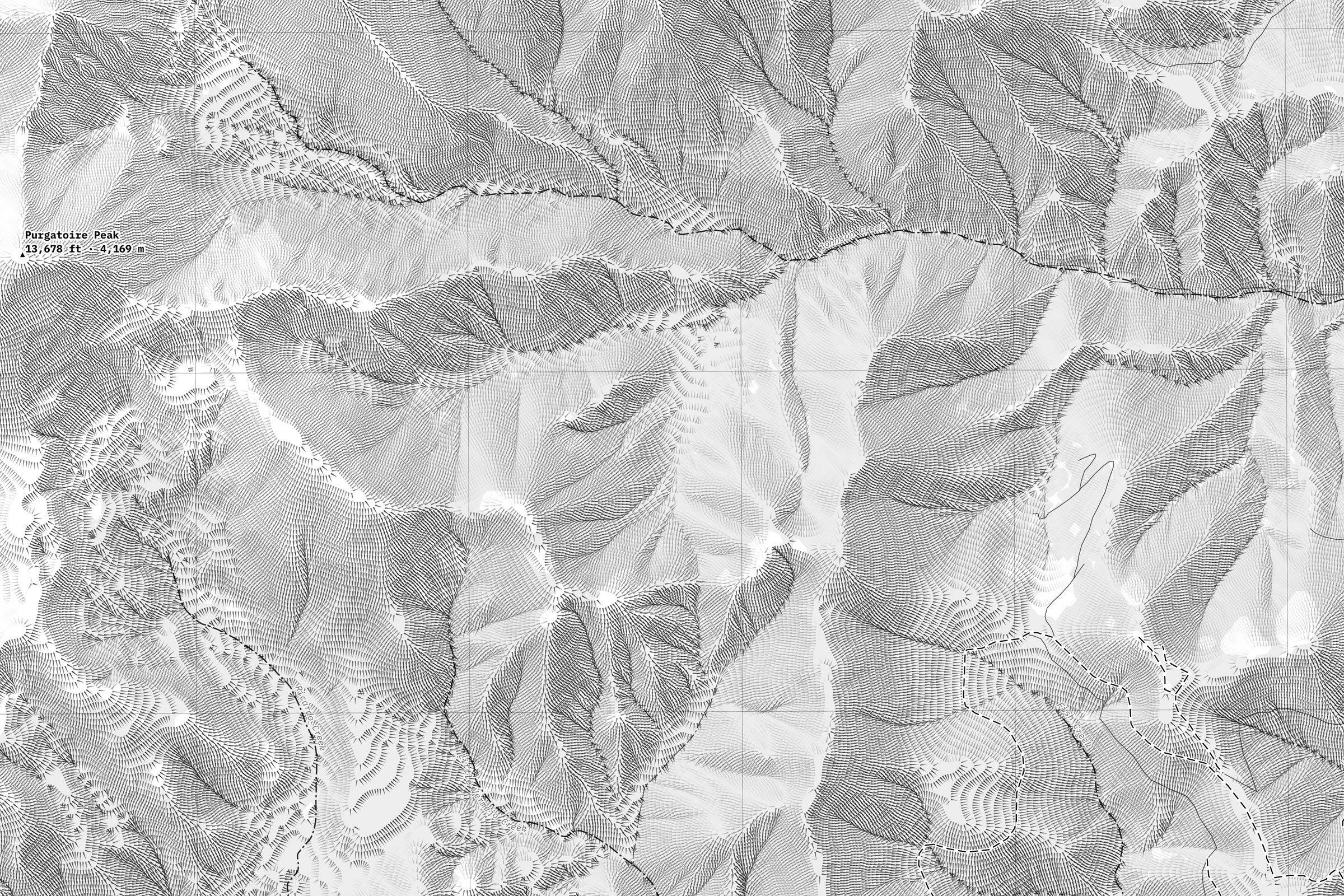
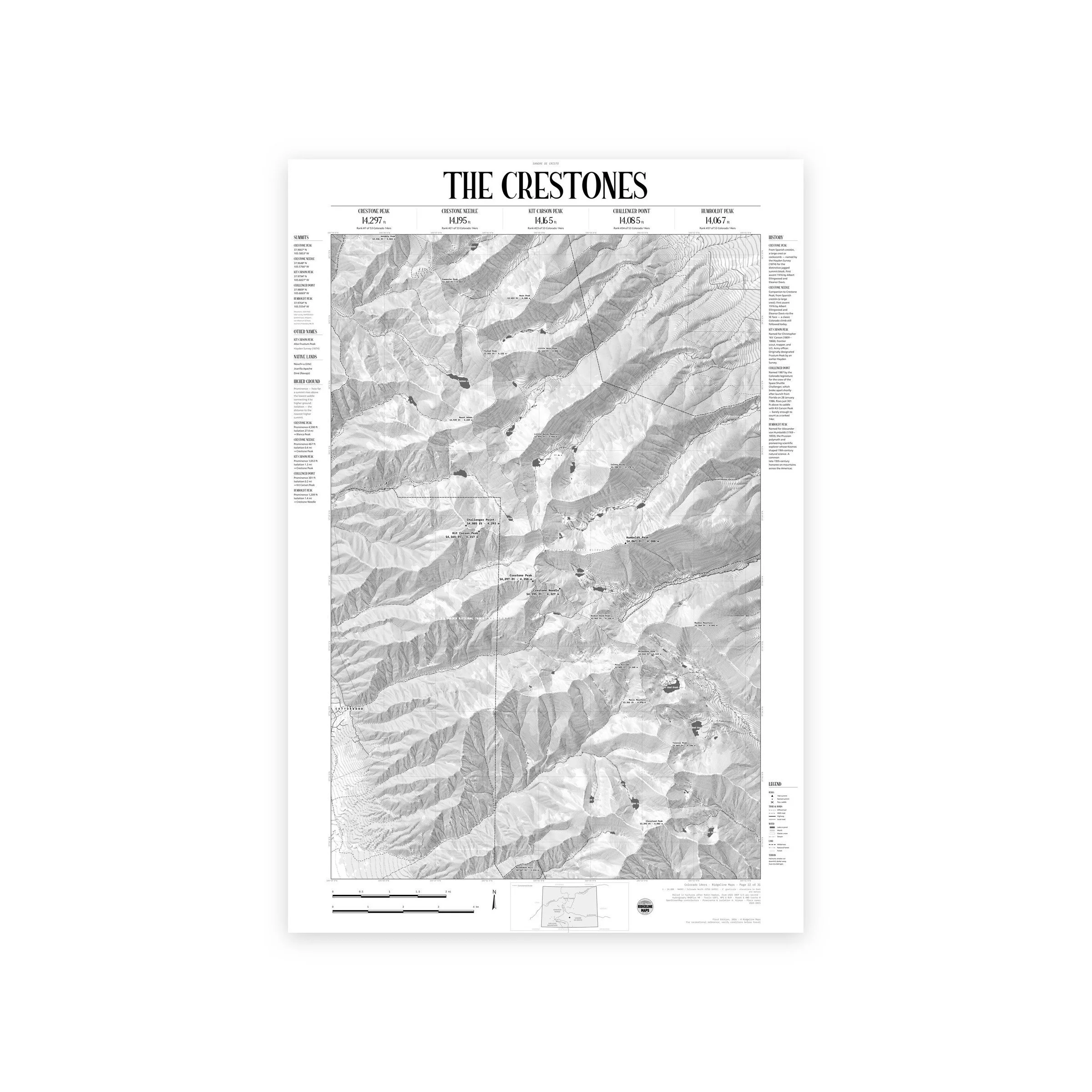
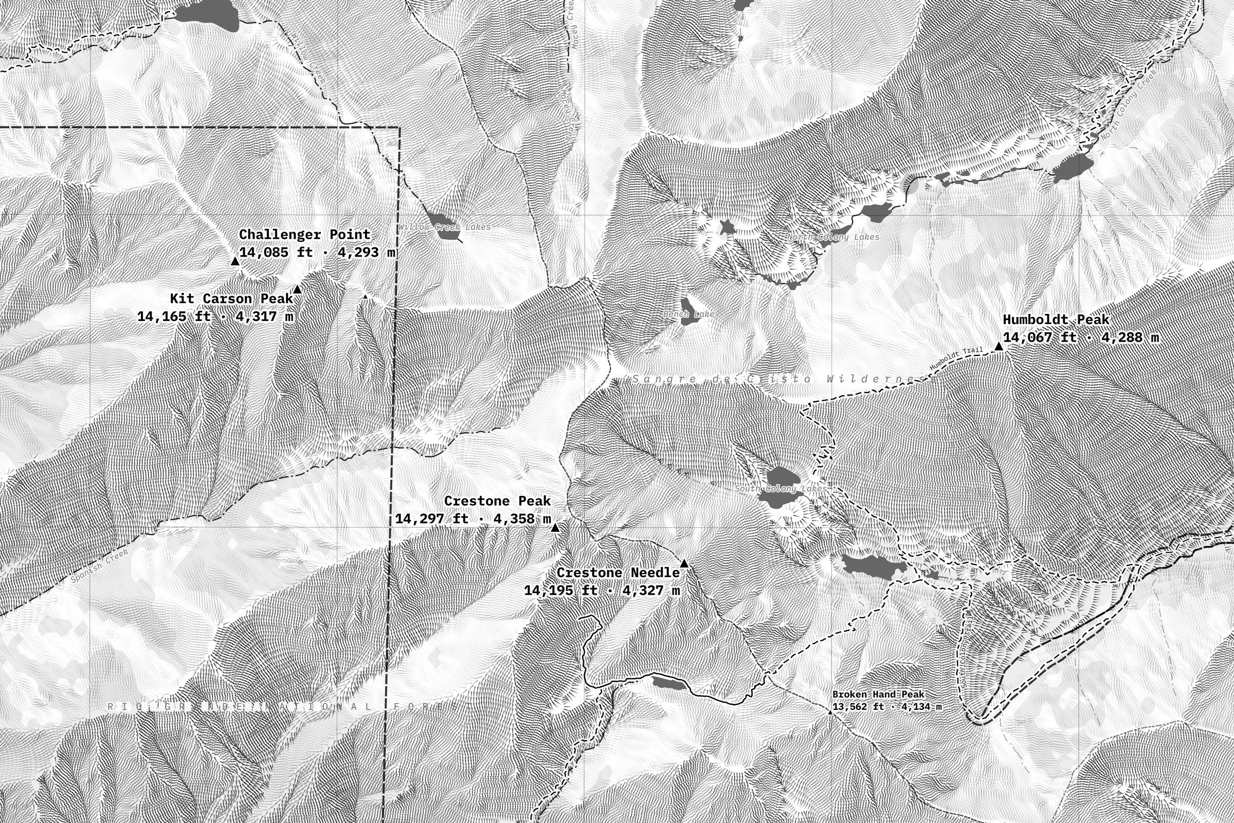
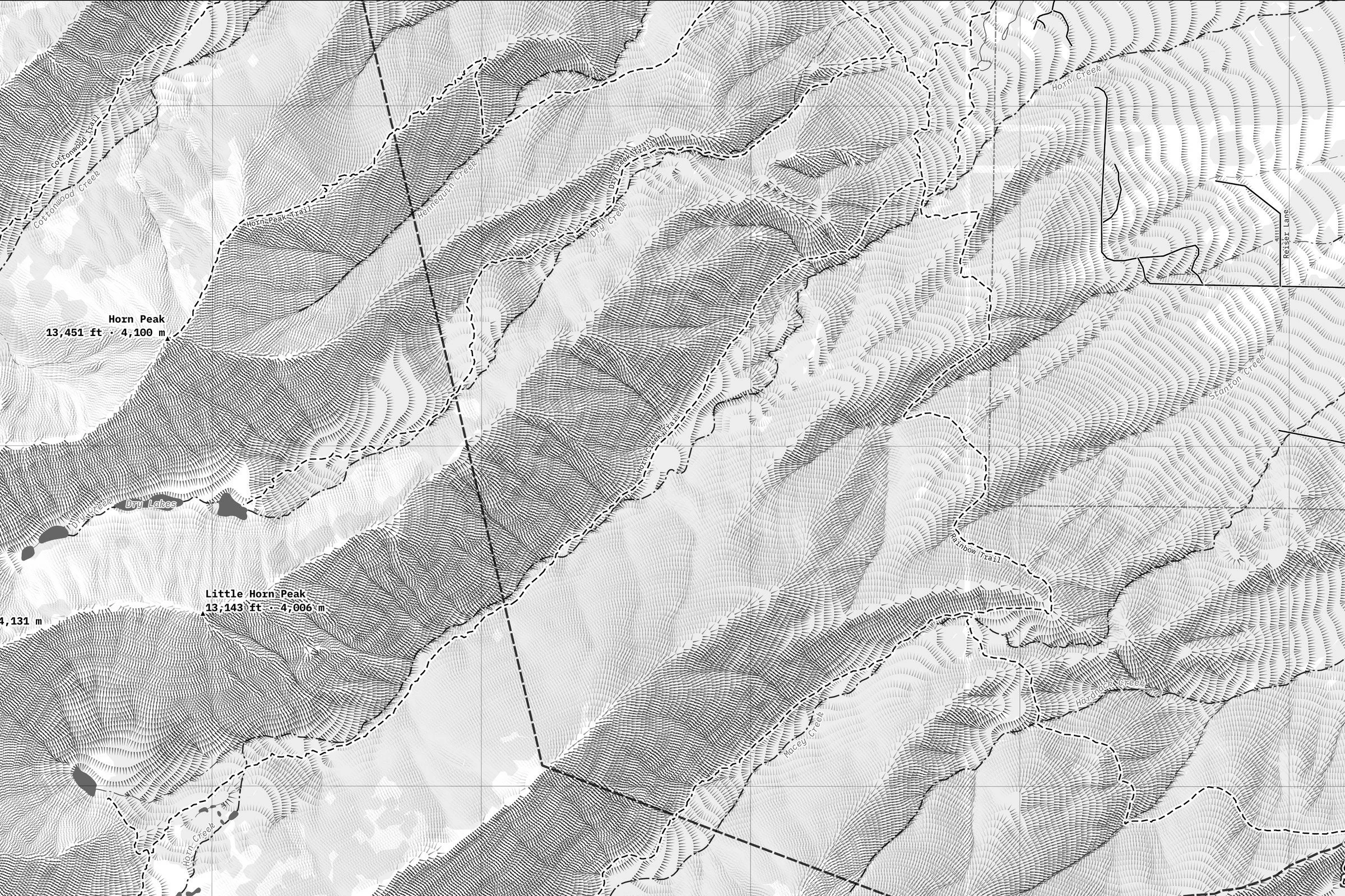
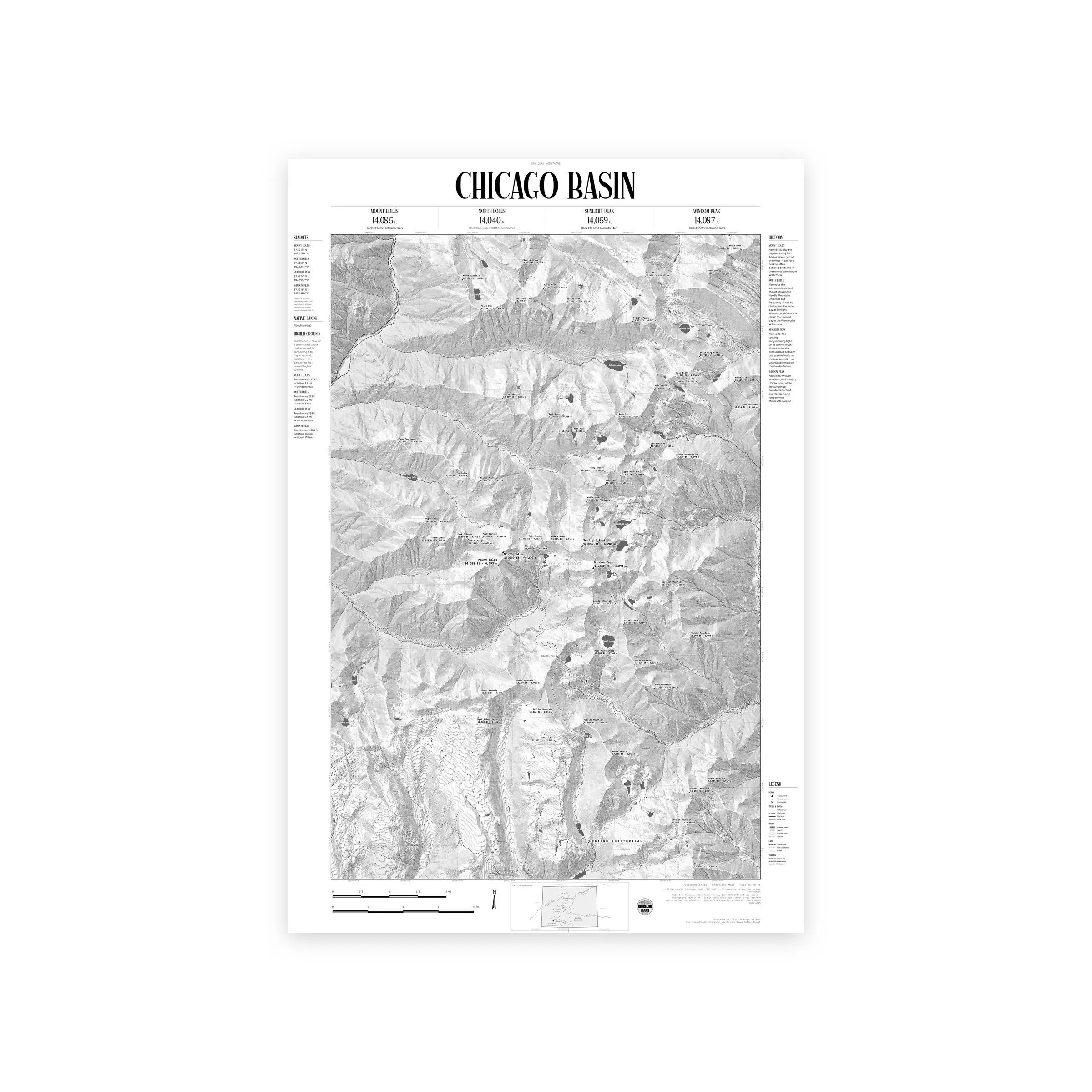
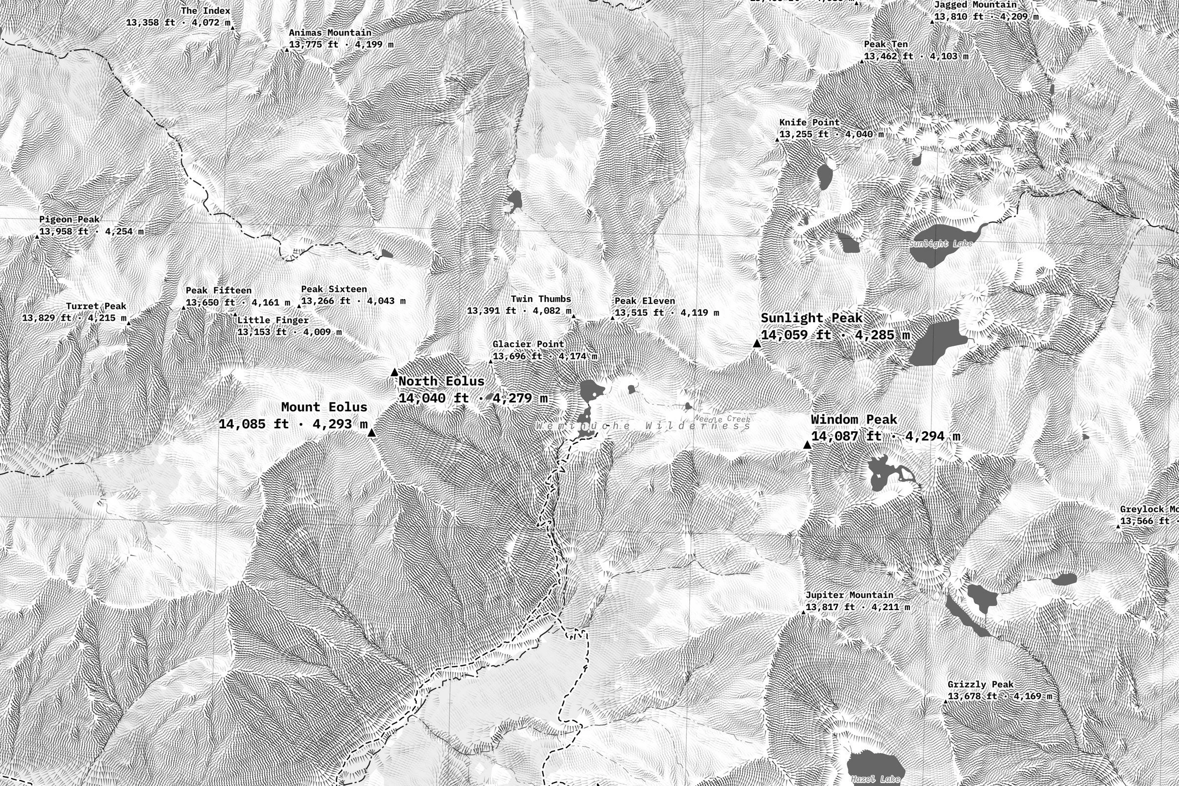
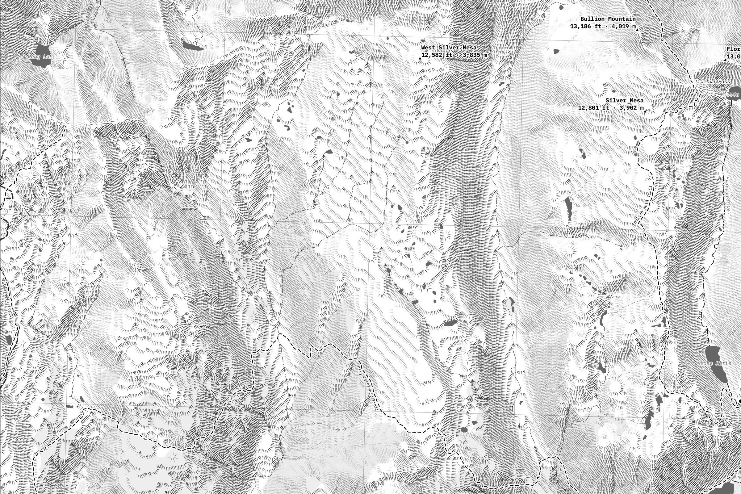
The relief is drawn in hachures: hundreds of thousands of fine, tapered strokes that run downhill and darken on the slopes facing away from the northwest light, so ridges, cirques and gullies read at a glance in black and grey. The fourteeners are named with their heights in feet and meters, along with the other peaks, passes and lakes, at 1:24,000. The official Forest Service, Park Service and BLM trails, 4WD roads, roads and streams are drawn, with national forest and wilderness boundaries. The margin carries each summit's coordinates, rank, prominence and isolation, the native lands, a short history and a Colorado locator. Printed on fine art hot press paper. Part of the Colorado 14ers series from Ridgeline Maps.
Framed: the 24 × 36-inch print is set behind a 2-inch white mat and acrylic glazing in a solid wood frame (black, white or natural oak), with a hanger attached, ready to hang. Framed size about 29.75 × 41.75 inches. Free shipping within the US; framed prints ship to US addresses only.
Size: 24 × 36 inches (61 × 91 cm)
A hachure map of Grays and Torreys, the twin fourteeners on the Continental Divide above Stevens Gulch, the closest pair to Interstate 70. Front Range, Colorado.
The relief is drawn in hachures: hundreds of thousands of fine, tapered strokes that run downhill and darken on the slopes facing away from the northwest light, so ridges, cirques and gullies read at a glance in black and grey. The fourteeners are named with their heights in feet and meters, along with the other peaks, passes and lakes, at 1:24,000. The official Forest Service, Park Service and BLM trails, 4WD roads, roads and streams are drawn, with national forest and wilderness boundaries. The margin carries each summit's coordinates, rank, prominence and isolation, the native lands, a short history and a Colorado locator. Printed on fine art hot press paper. Part of the Colorado 14ers series from Ridgeline Maps.