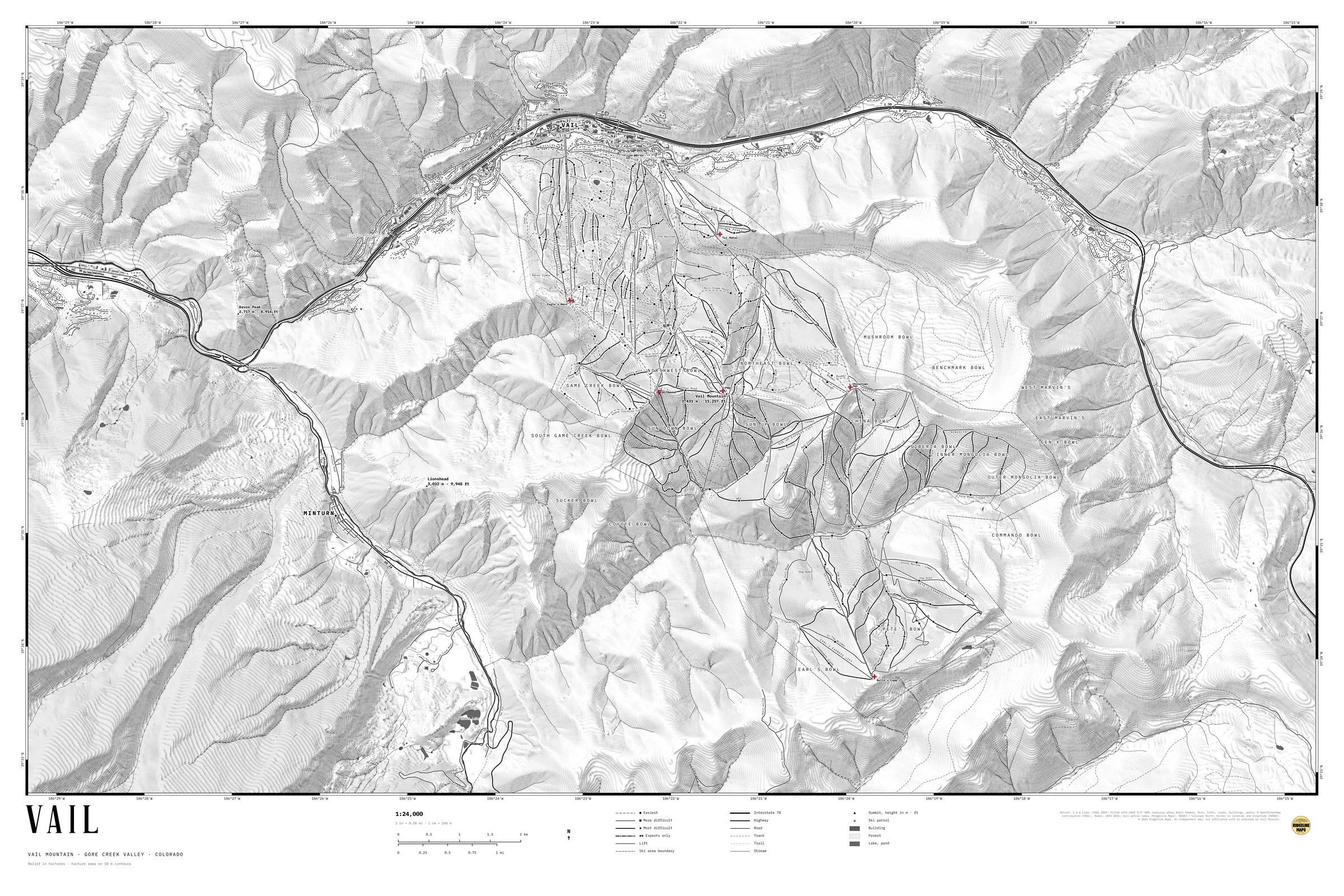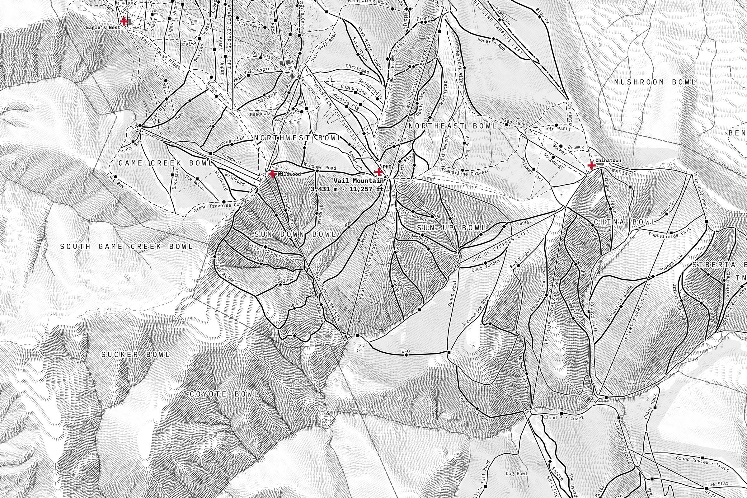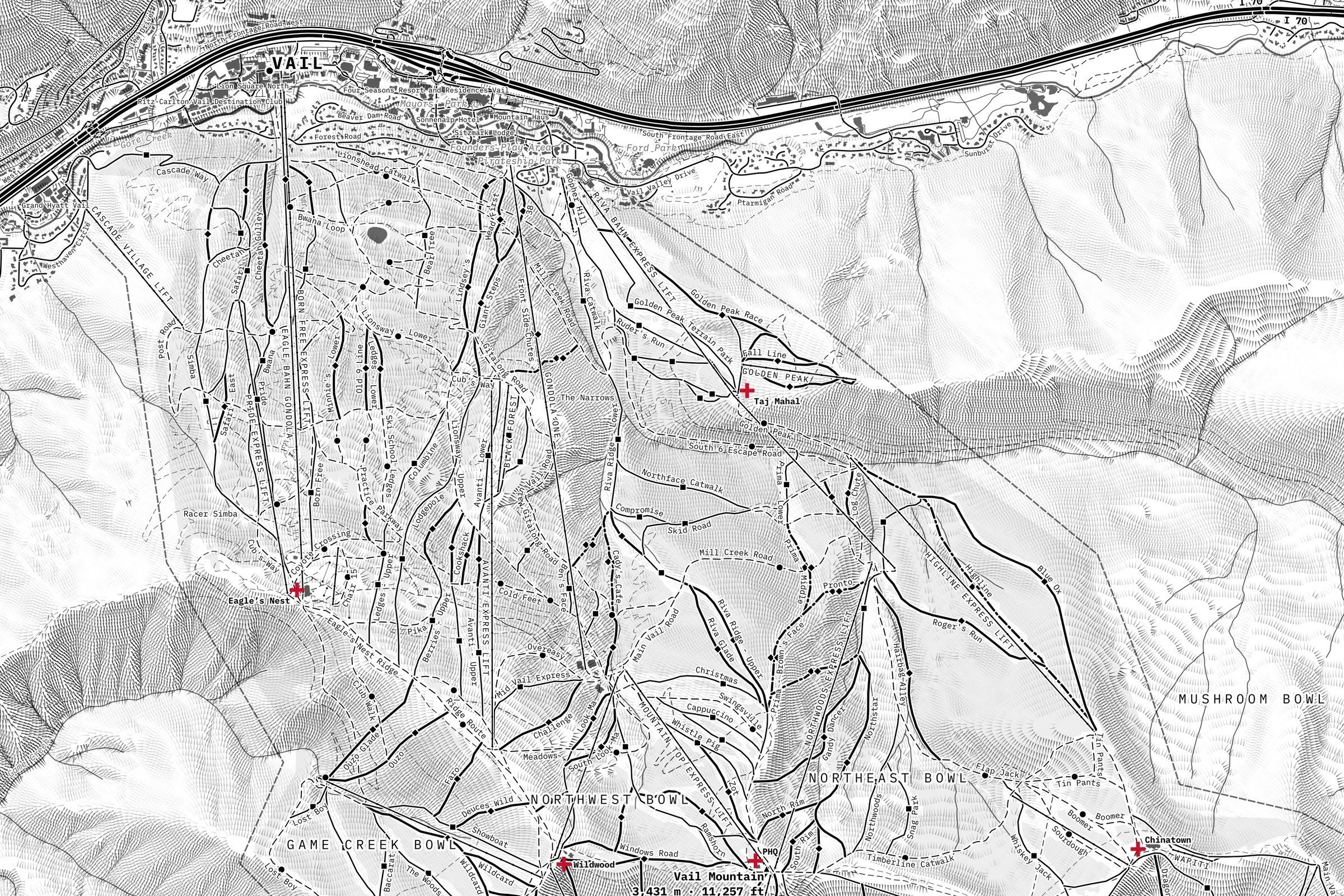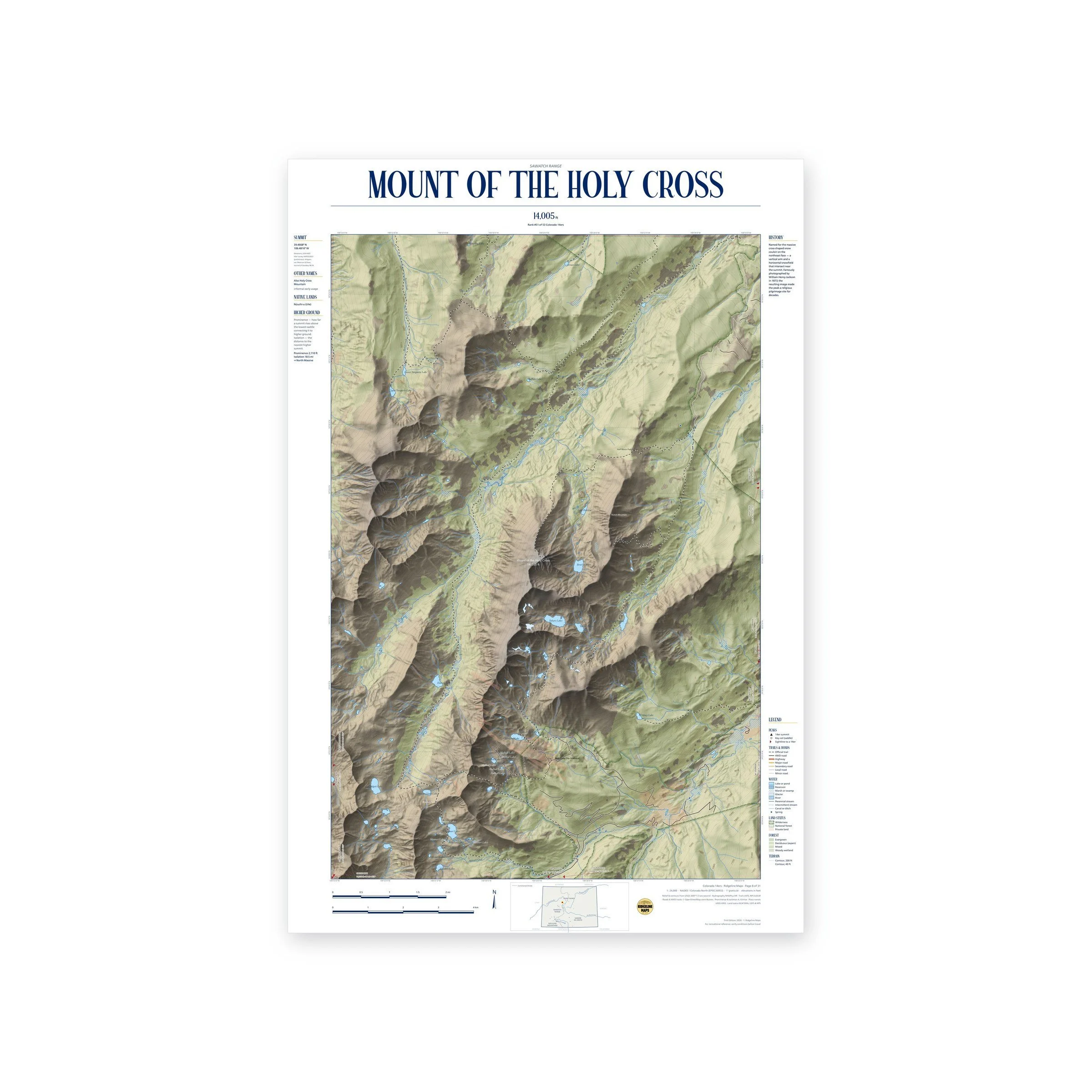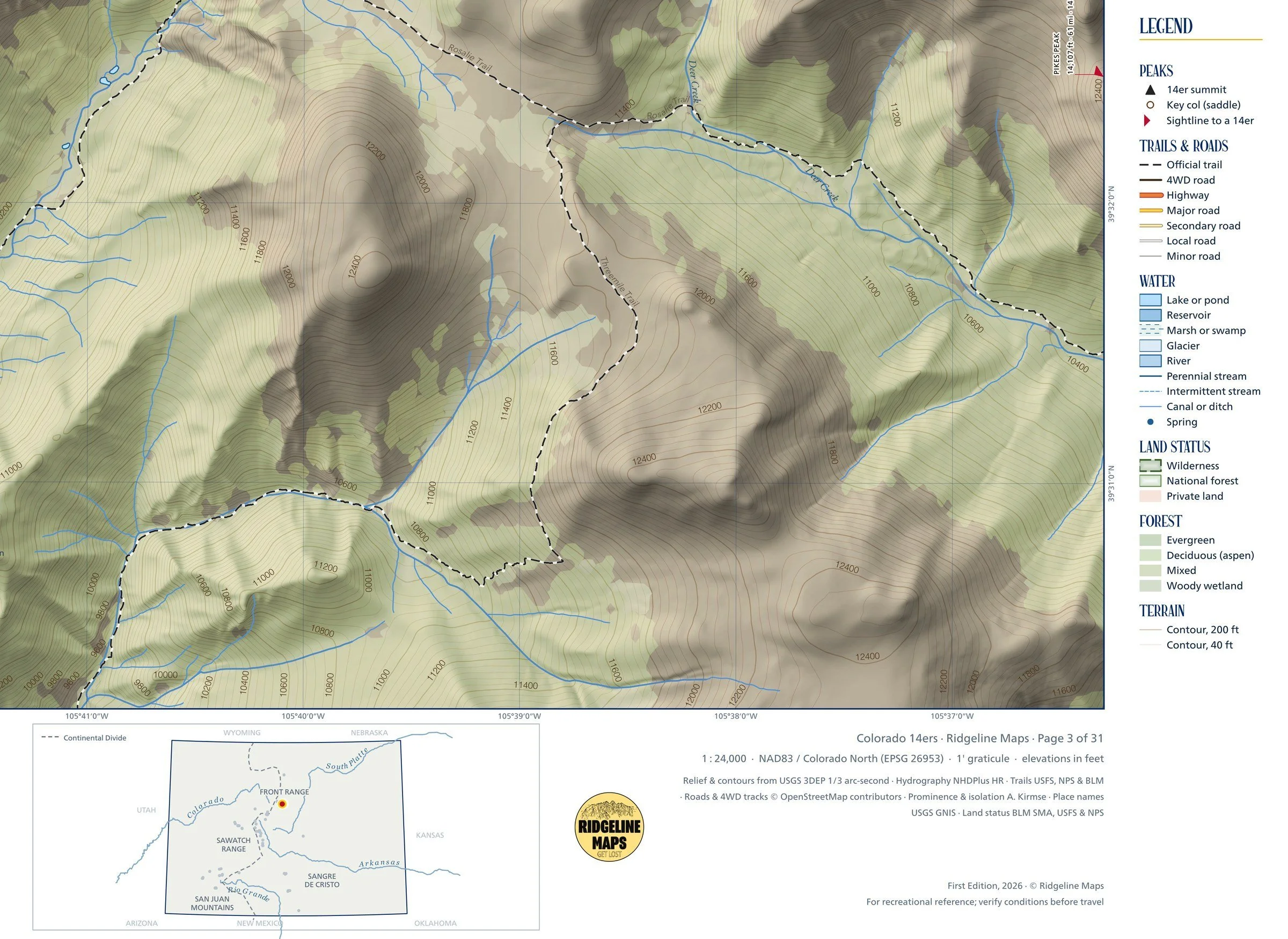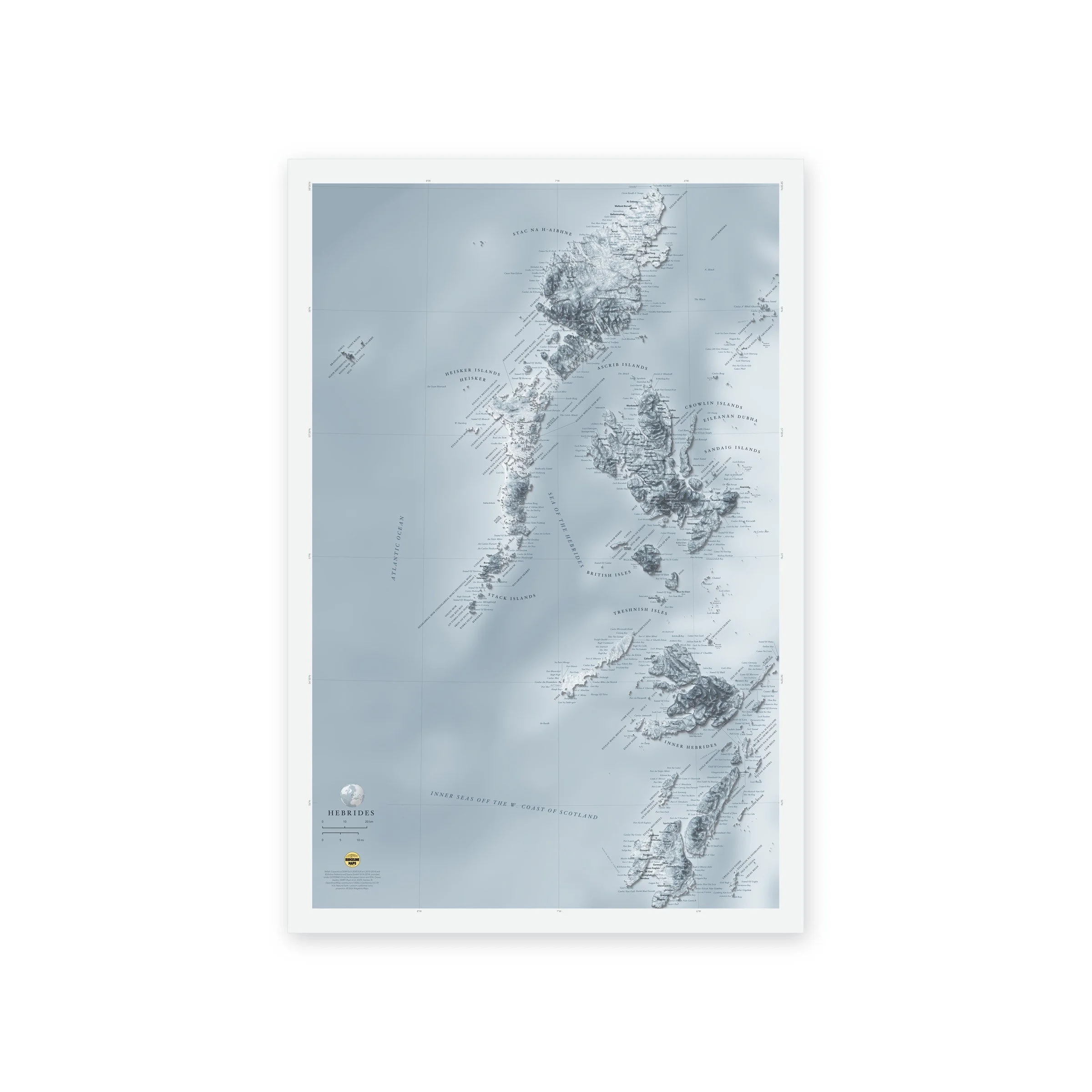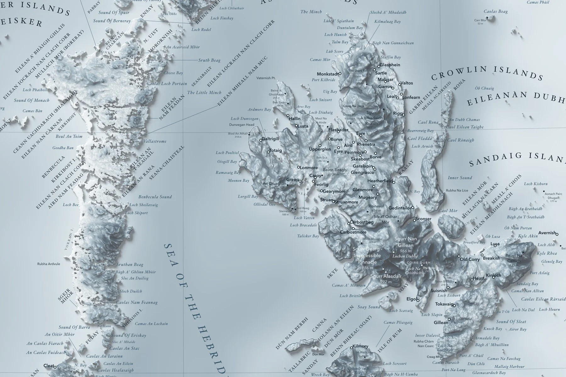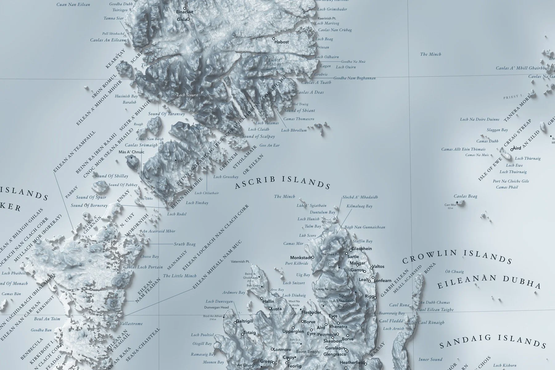
Framed: the 24 × 30-inch print is set behind a 2-inch white mat and acrylic glazing in a solid wood frame (black, white or natural oak), with a hanger attached, ready to hang. Framed size about 29.75 × 35.75 inches. Free shipping within the US; framed prints ship to US addresses only.
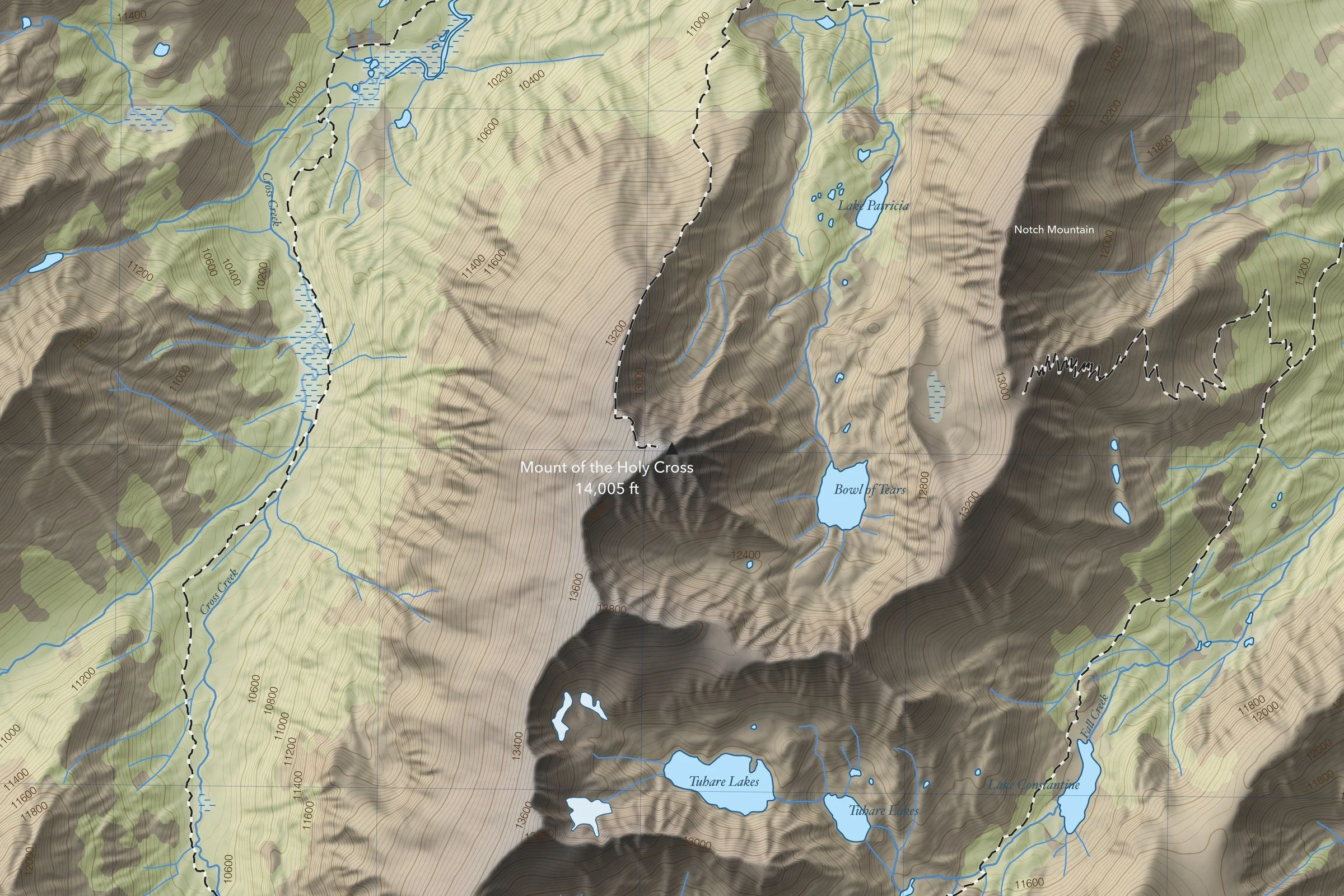
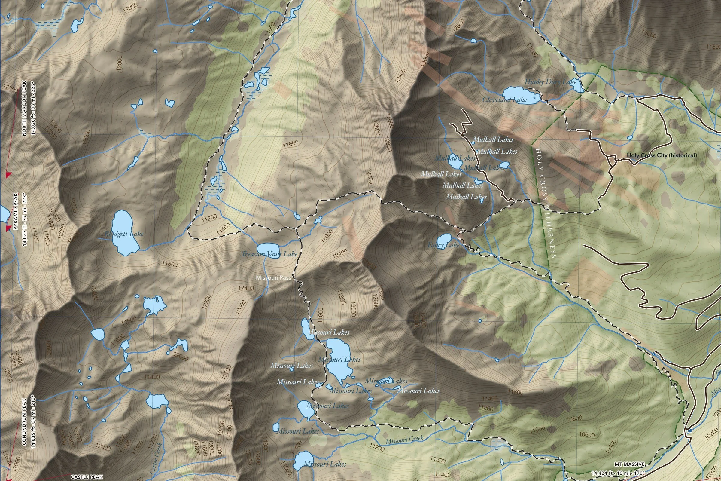
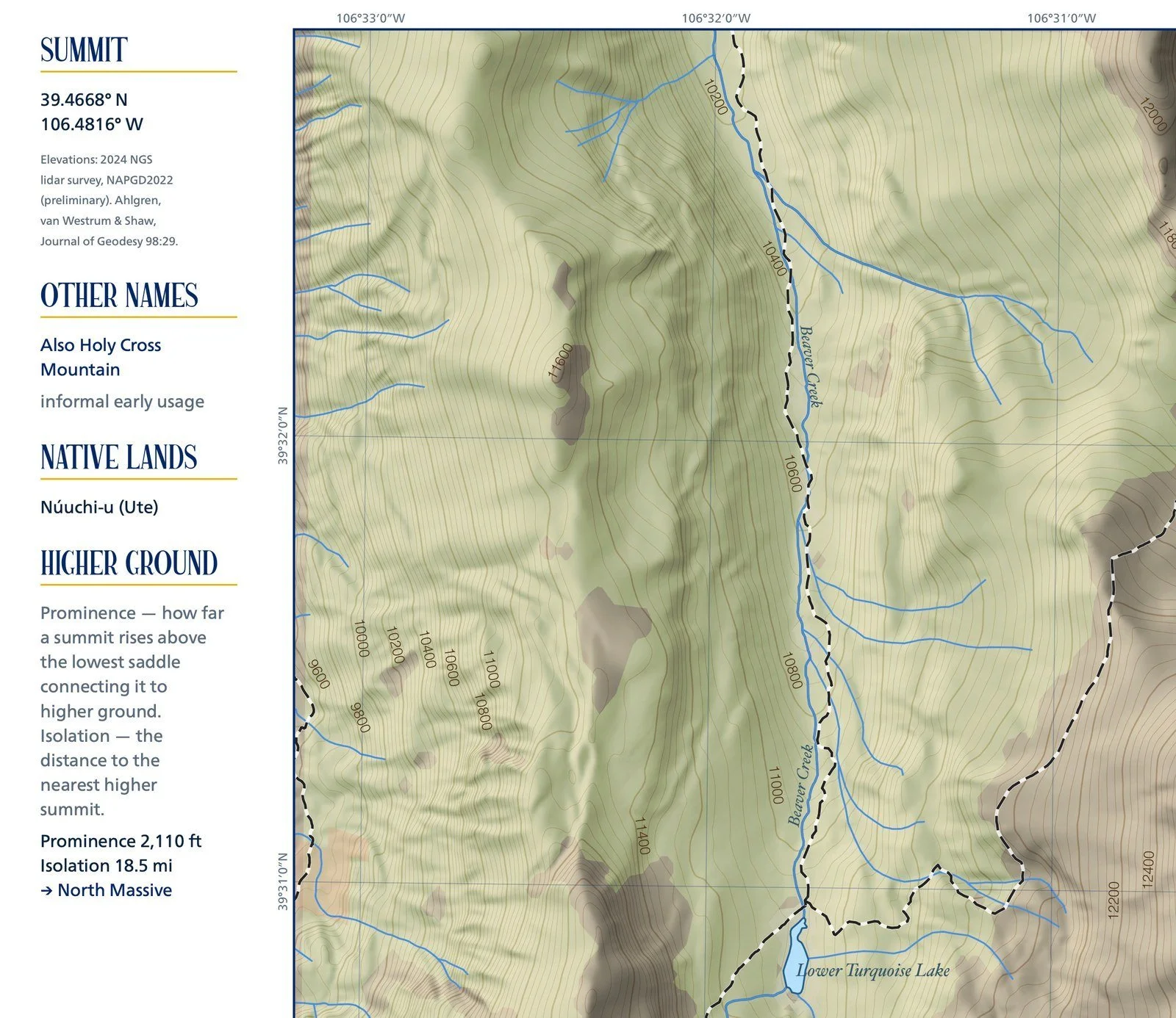
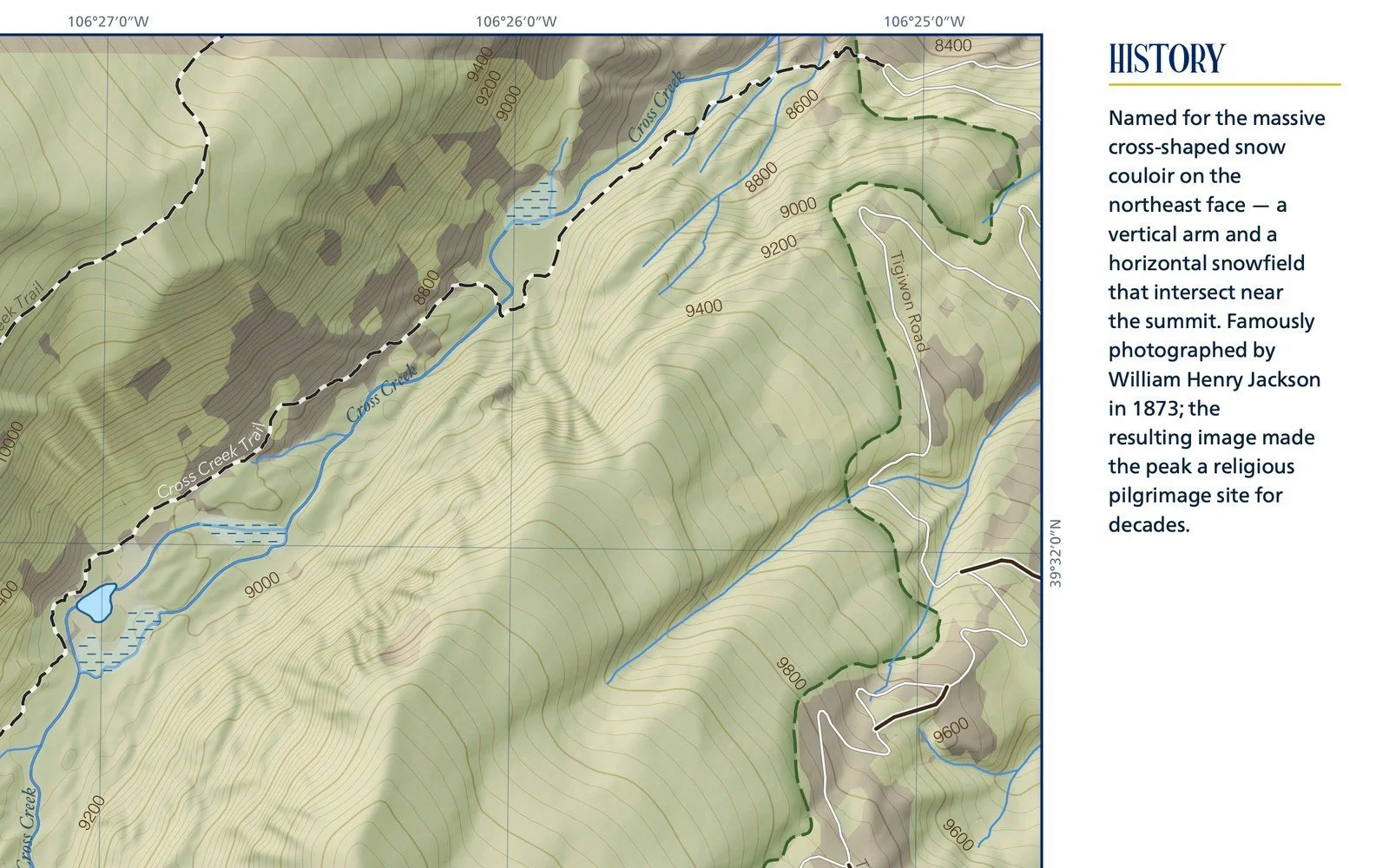
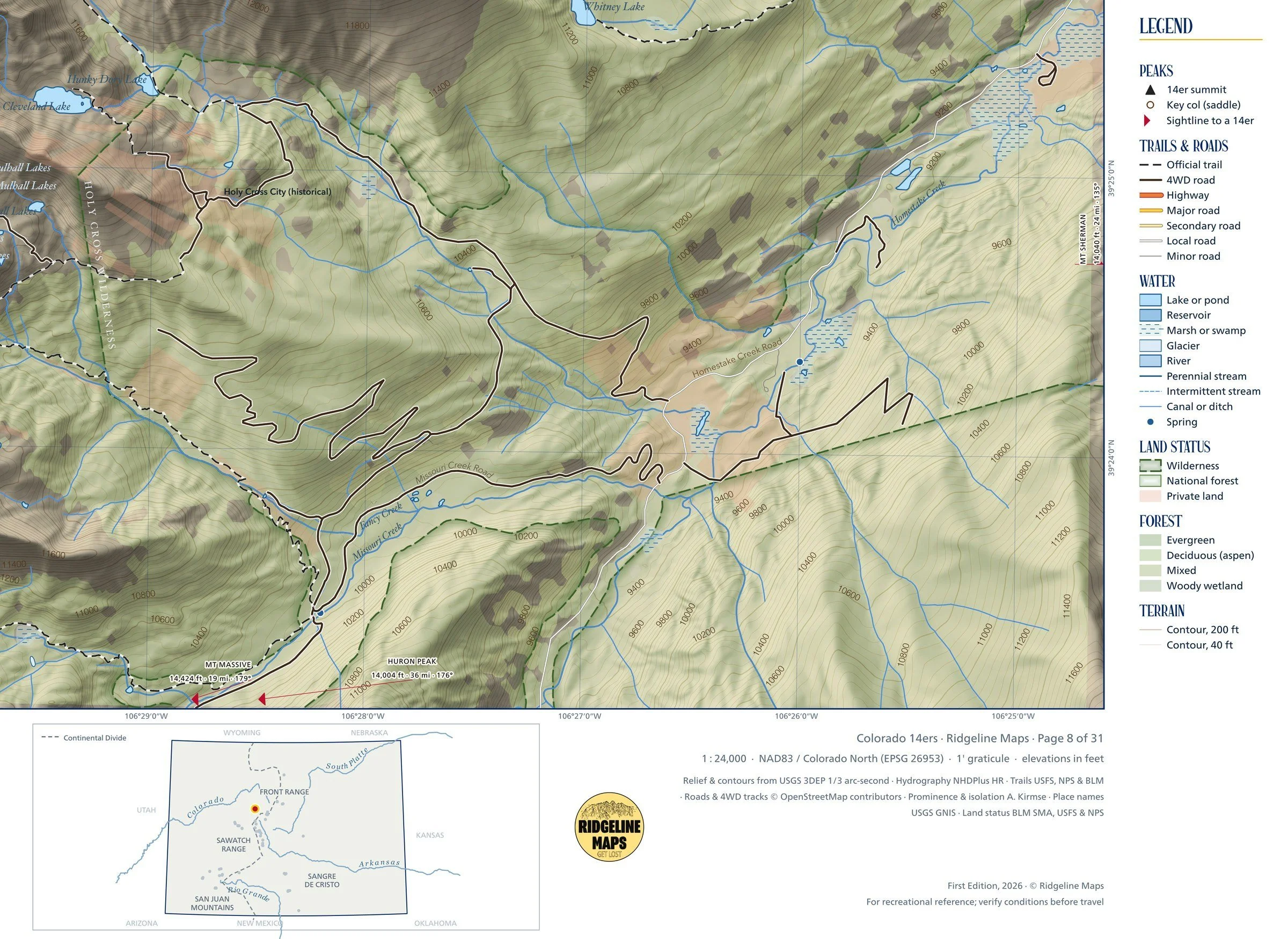
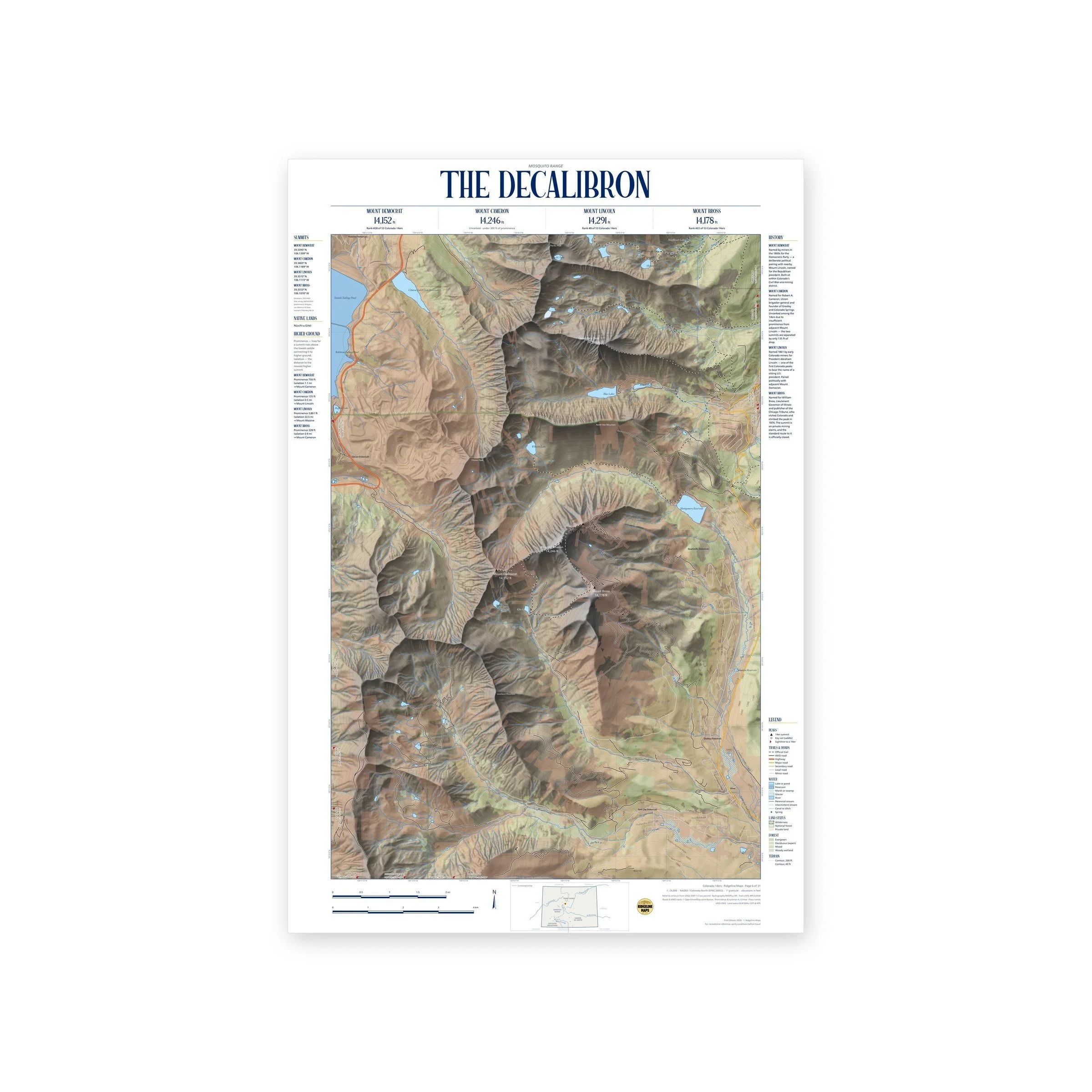
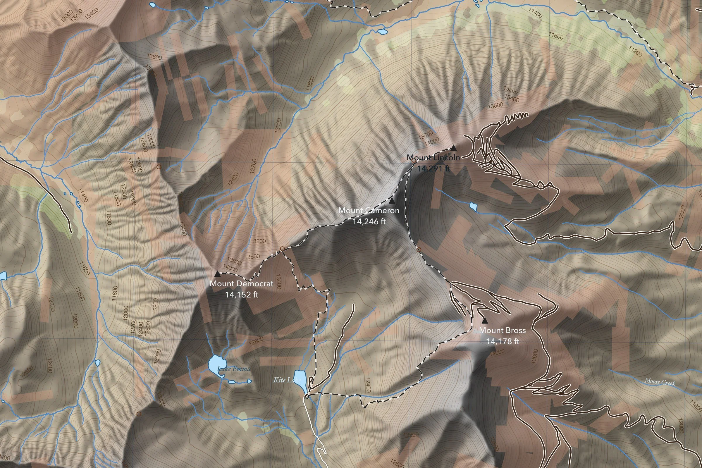
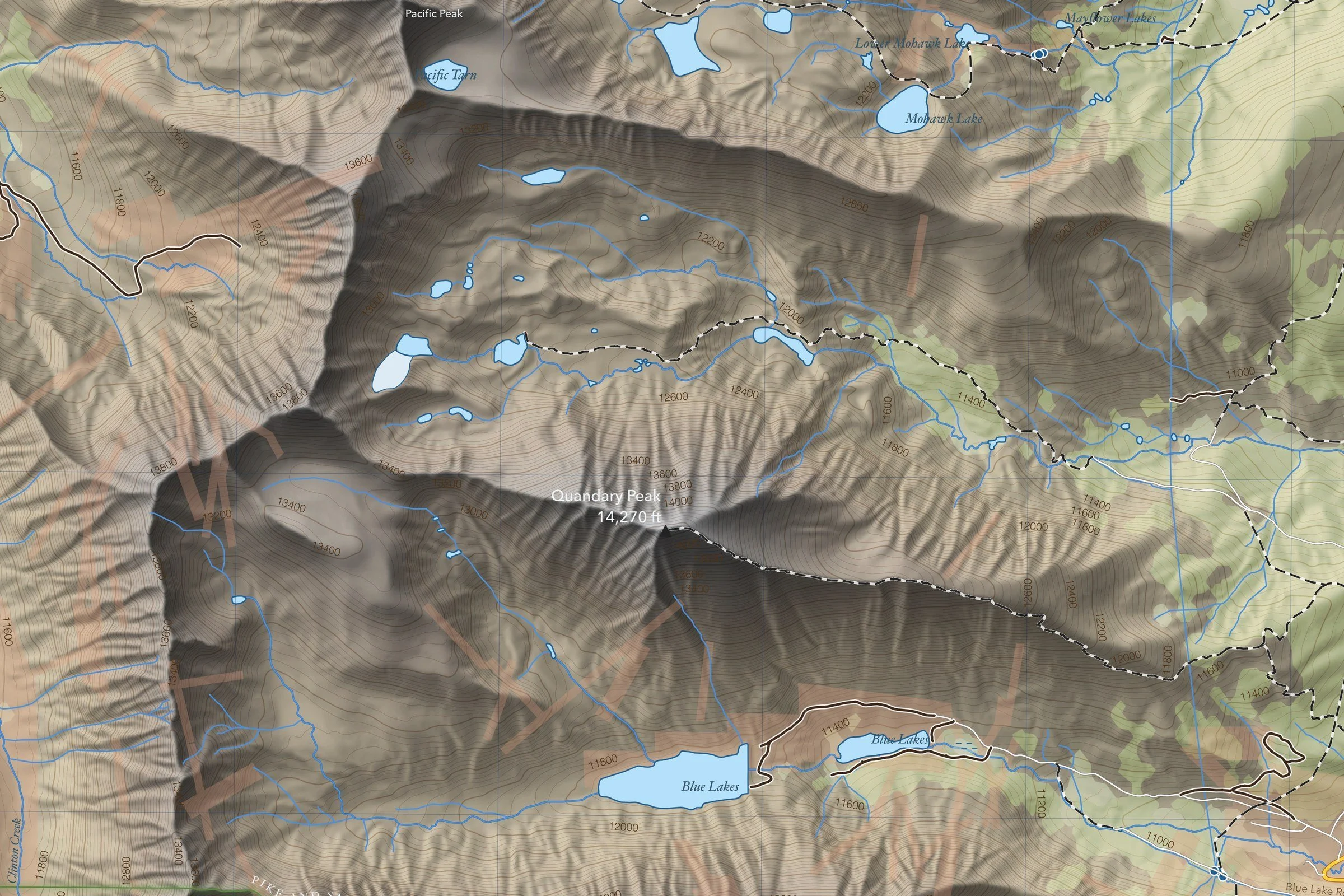
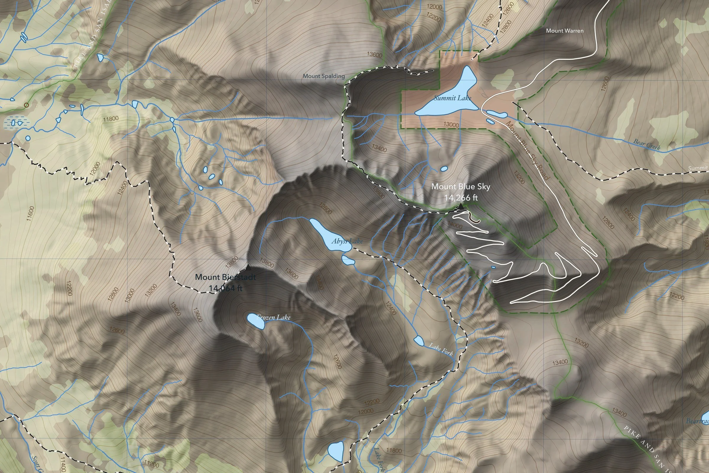
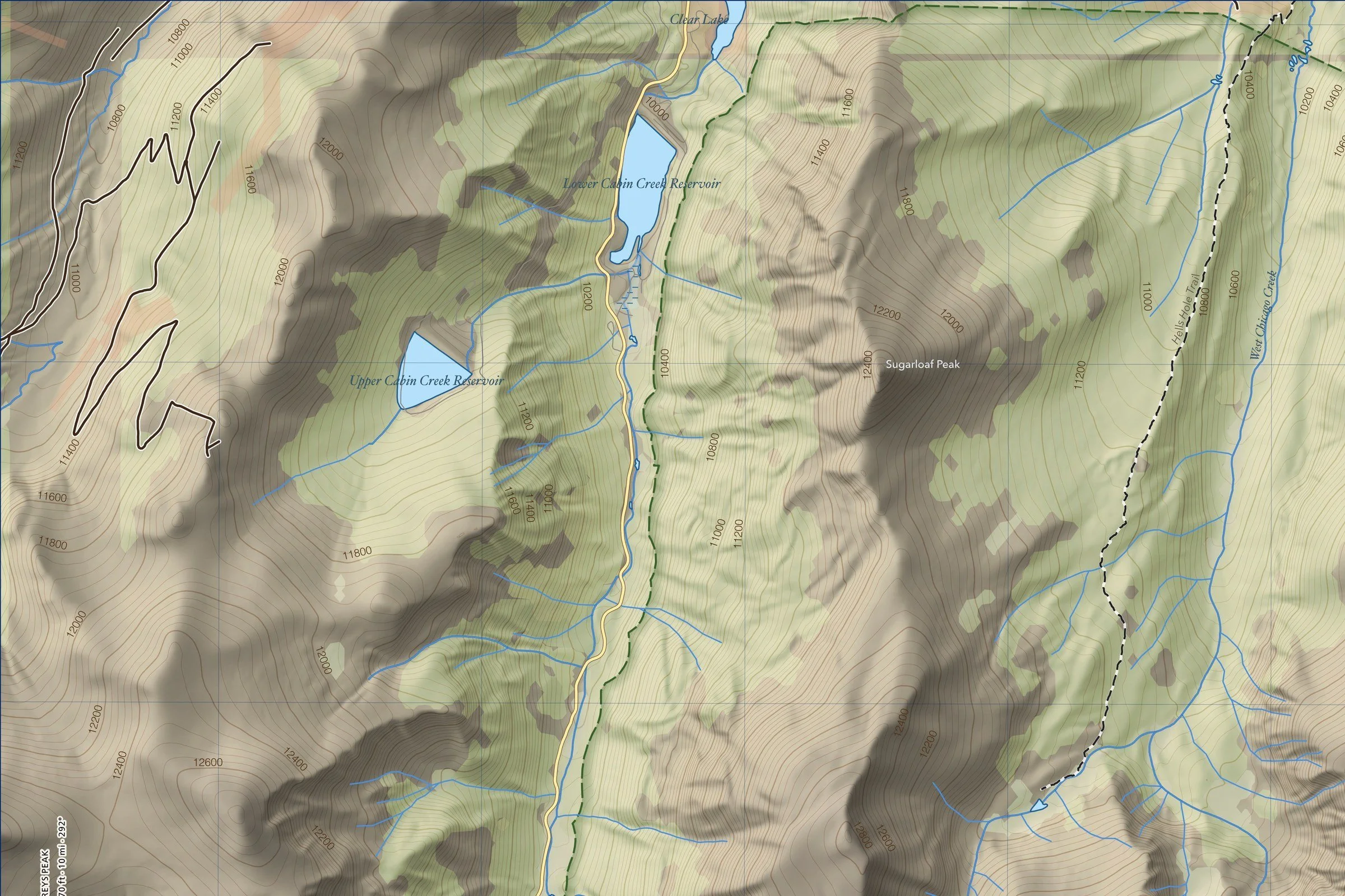
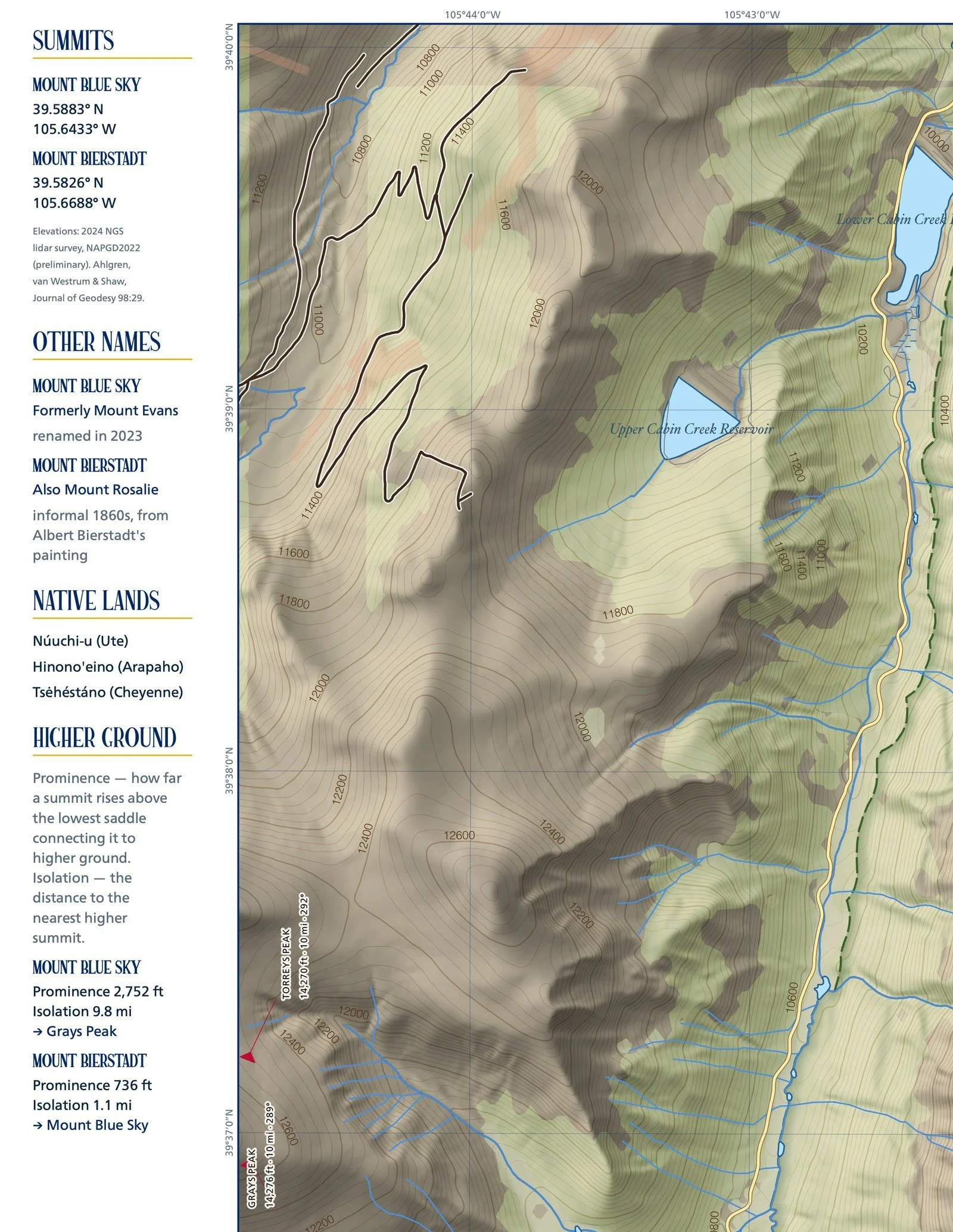
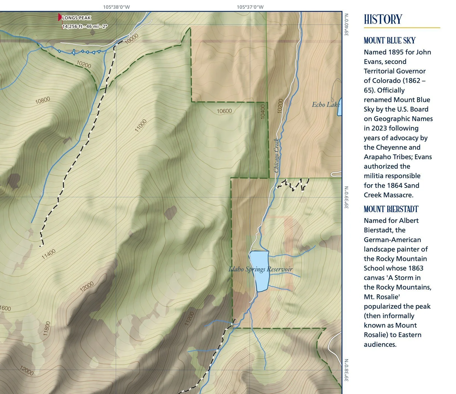
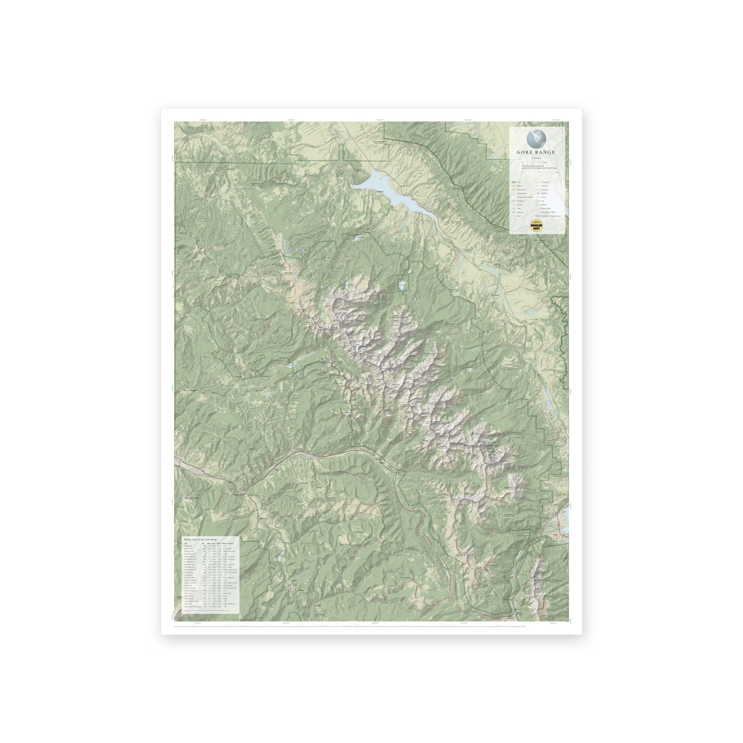
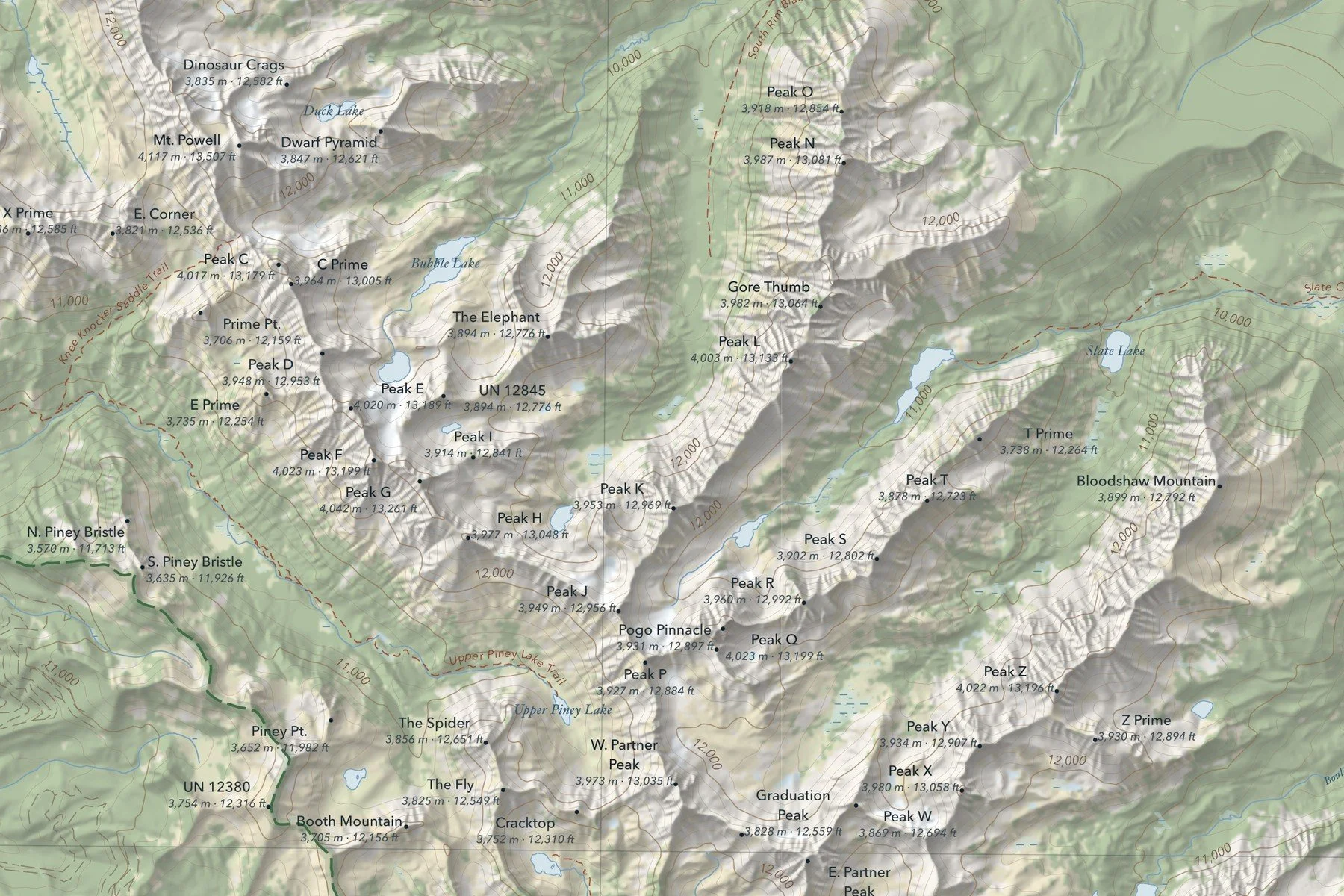
A topographic map of Colorado’s Gore Range, the jagged wall of peaks between Vail and Silverthorne, with Mt. Powell (13,507 ft) and the range’s lettered summits, from Peak C to Peak Z, labeled with their heights in meters and feet. Shaded relief from 10-meter USGS elevation data is colored by land cover, so forest, meadow, alpine tundra, rock and permanent snow each read at a glance. Printed 24 × 30 inches.
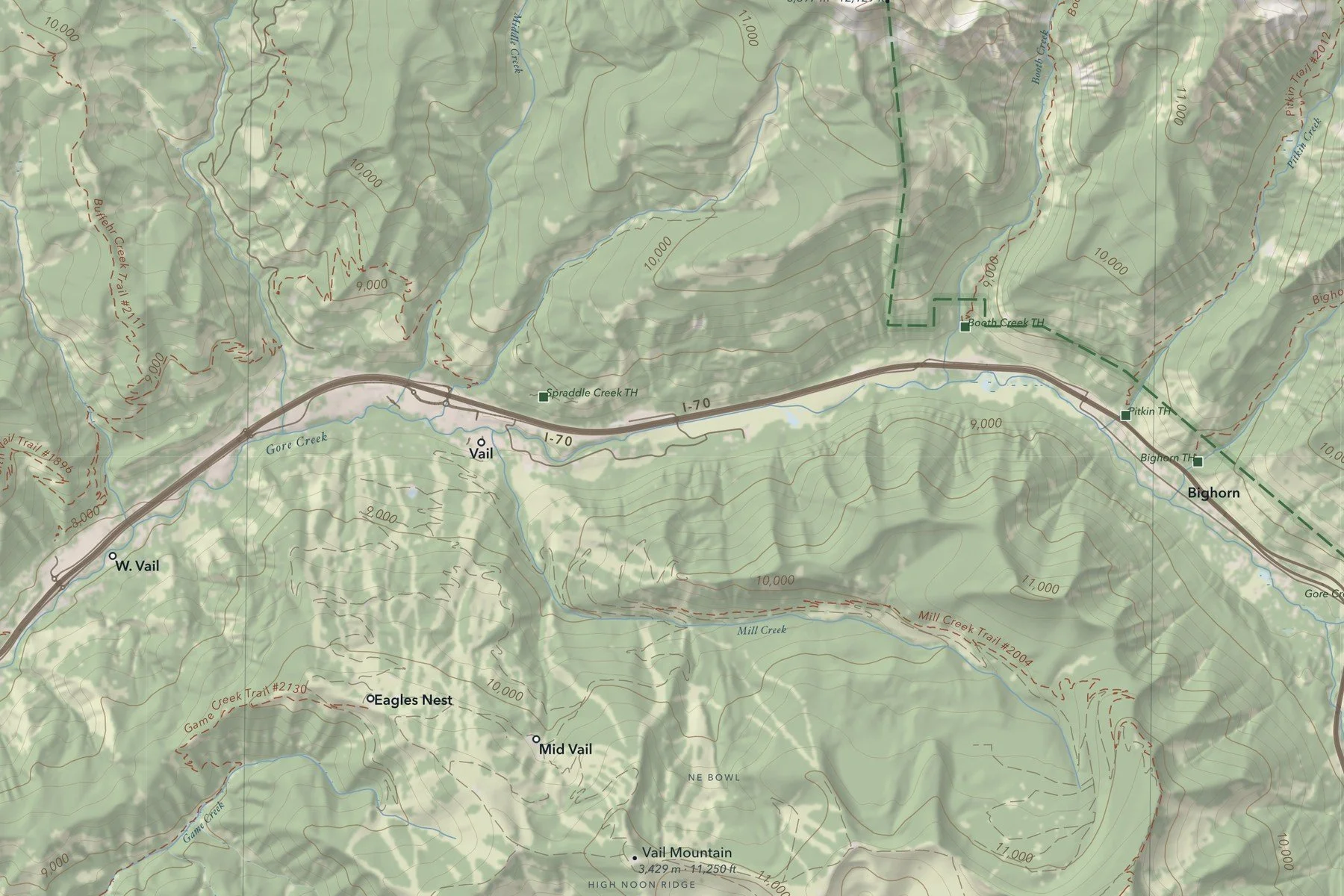
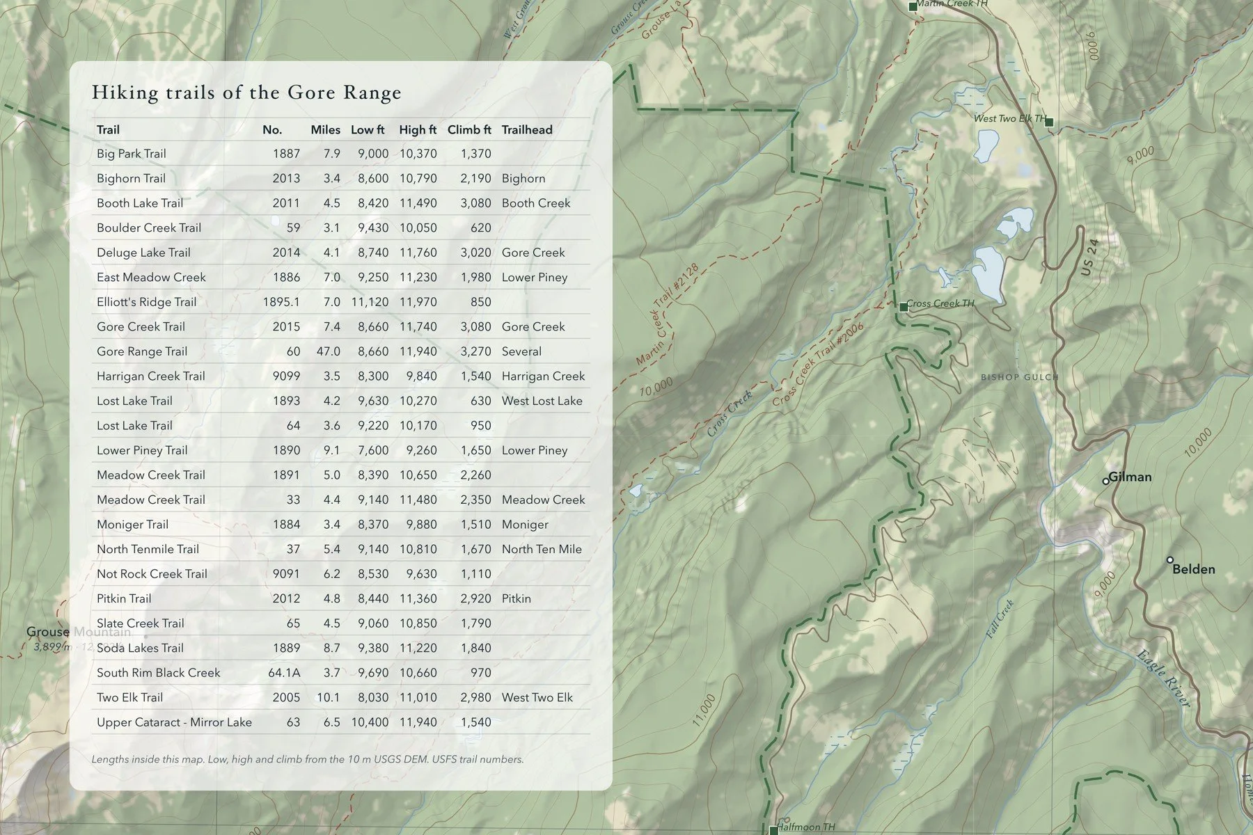
Hiking trails and trailheads, forest roads, streams, lakes, wetlands and wilderness boundaries are marked, with 200-foot contours. A table lists 24 hiking trails with their USFS trail numbers, length, low and high points, total climb and trailhead. Includes a lat/long grid, a scale bar and a small globe showing where in the world it sits. Printed on fine art hot press paper. From Ridgeline Maps.
Framed: the 24 × 30-inch print is set behind a 2-inch white mat and acrylic glazing in a solid wood frame (black, white or natural oak), with a hanger attached, ready to hang. Framed size about 29.75 × 35.75 inches. Free shipping within the US; framed prints ship to US addresses only.
A topographic map of Colorado’s Gore Range, the jagged wall of peaks between Vail and Silverthorne, with Mt. Powell (13,507 ft) and the range’s lettered summits, from Peak C to Peak Z, labeled with their heights in meters and feet. Shaded relief from 10-meter USGS elevation data is colored by land cover, so forest, meadow, alpine tundra, rock and permanent snow each read at a glance. Printed 24 × 30 inches.
Hiking trails and trailheads, forest roads, streams, lakes, wetlands and wilderness boundaries are marked, with 200-foot contours. A table lists 24 hiking trails with their USFS trail numbers, length, low and high points, total climb and trailhead. Includes a lat/long grid, a scale bar and a small globe showing where in the world it sits. Printed on fine art hot press paper. From Ridgeline Maps.