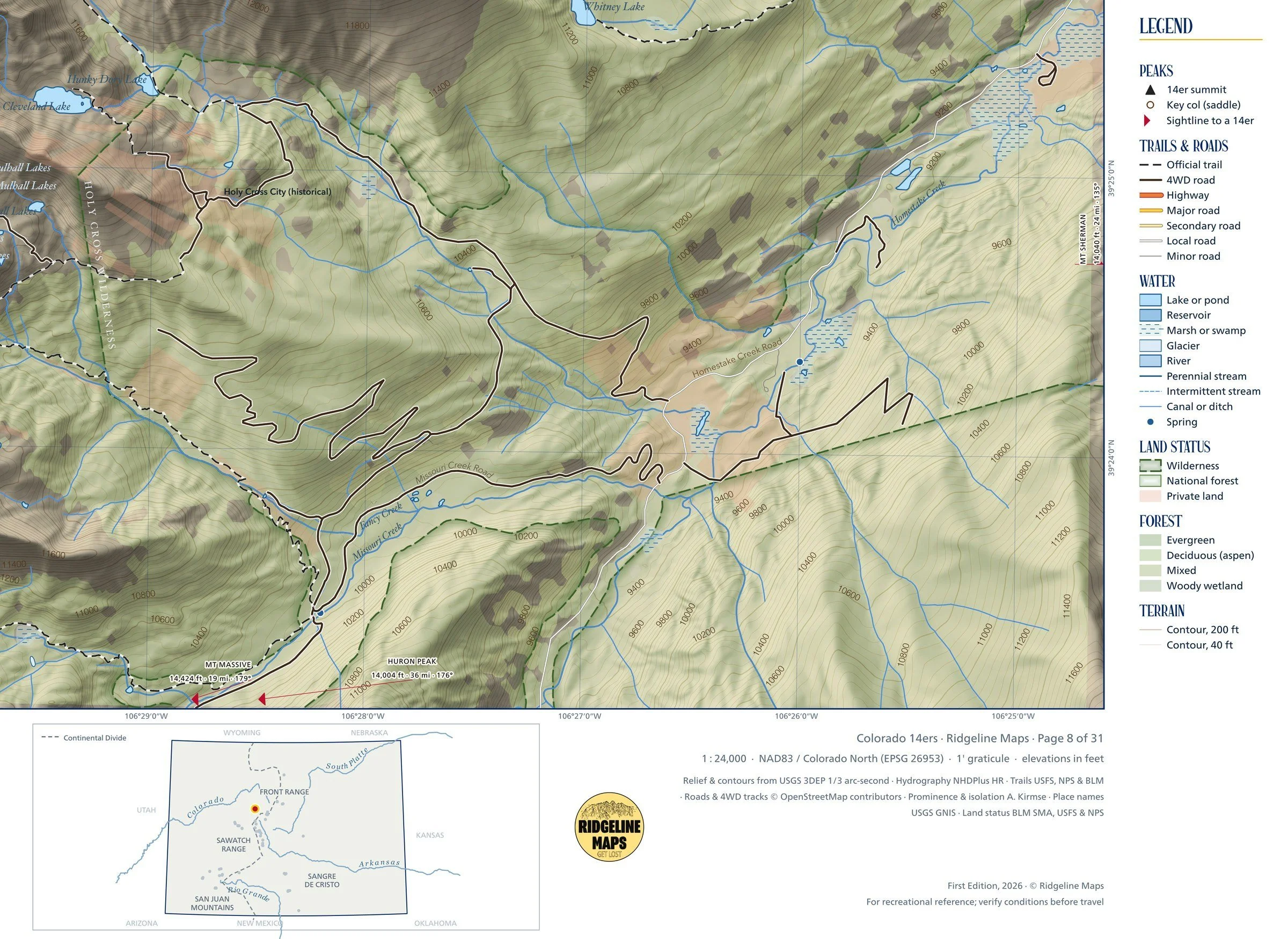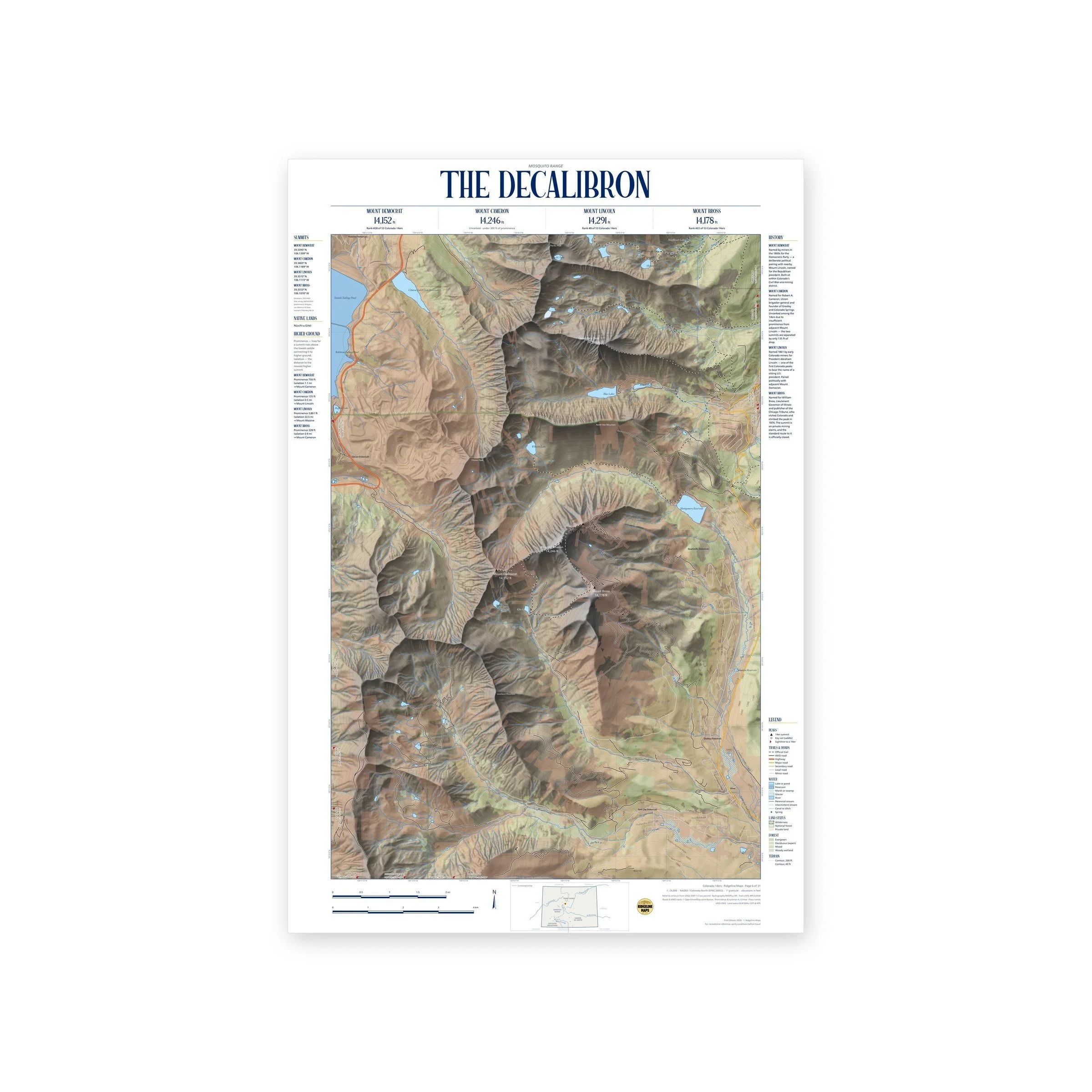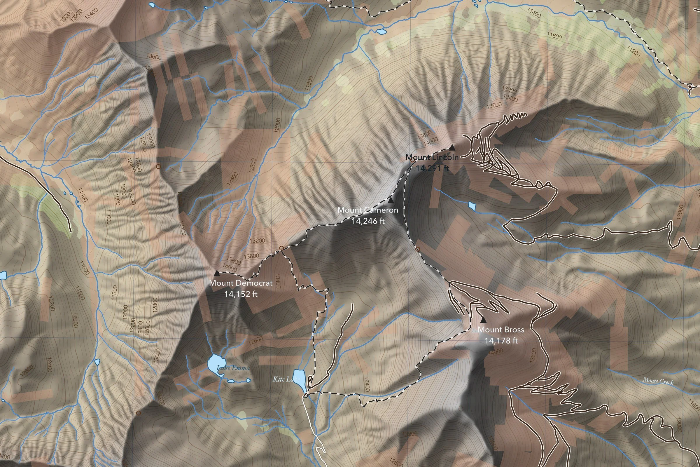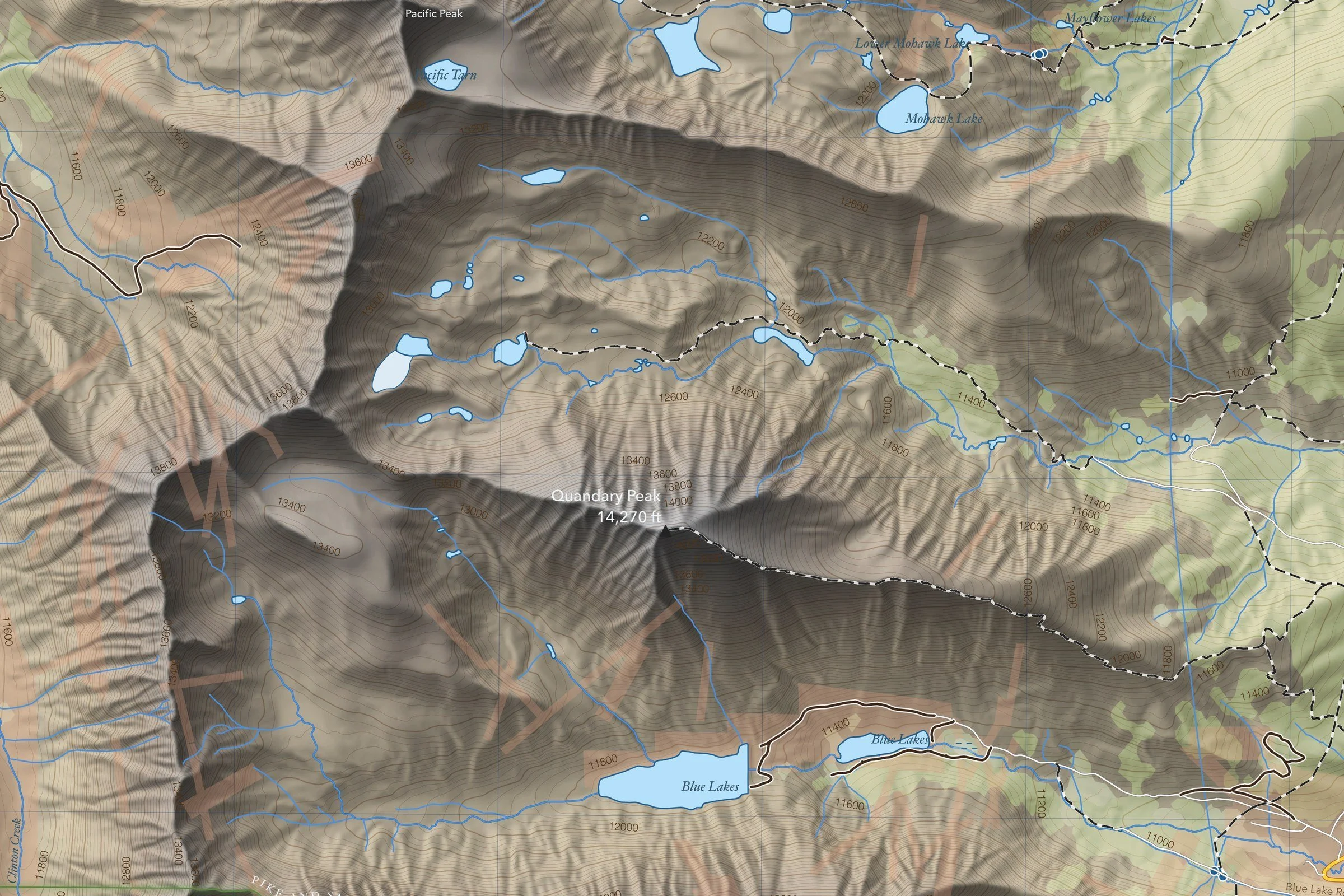
Framed: the 36 × 24-inch print is set behind a 2-inch white mat and acrylic glazing in a solid wood frame (black, white or natural oak), with a hanger attached, ready to hang. Framed size about 41.75 × 29.75 inches. Free shipping within the US; framed prints ship to US addresses only.
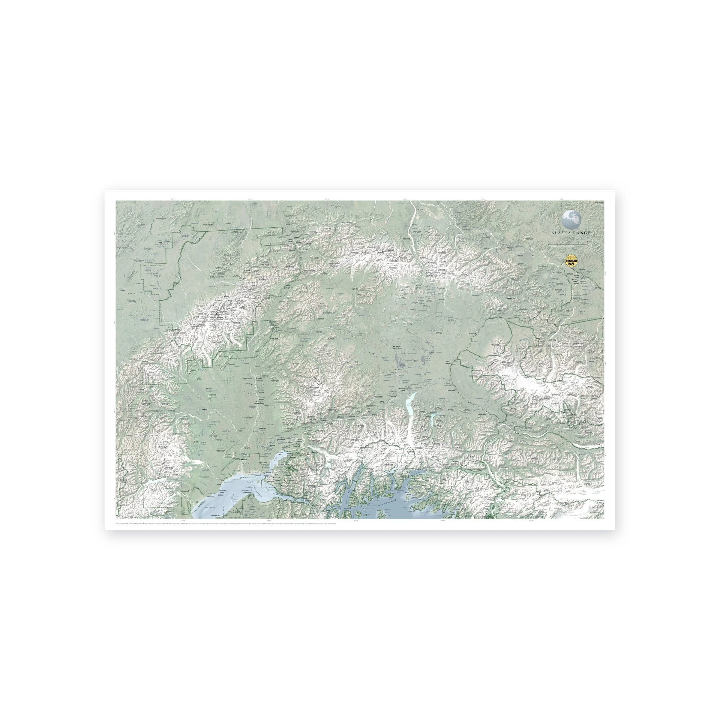
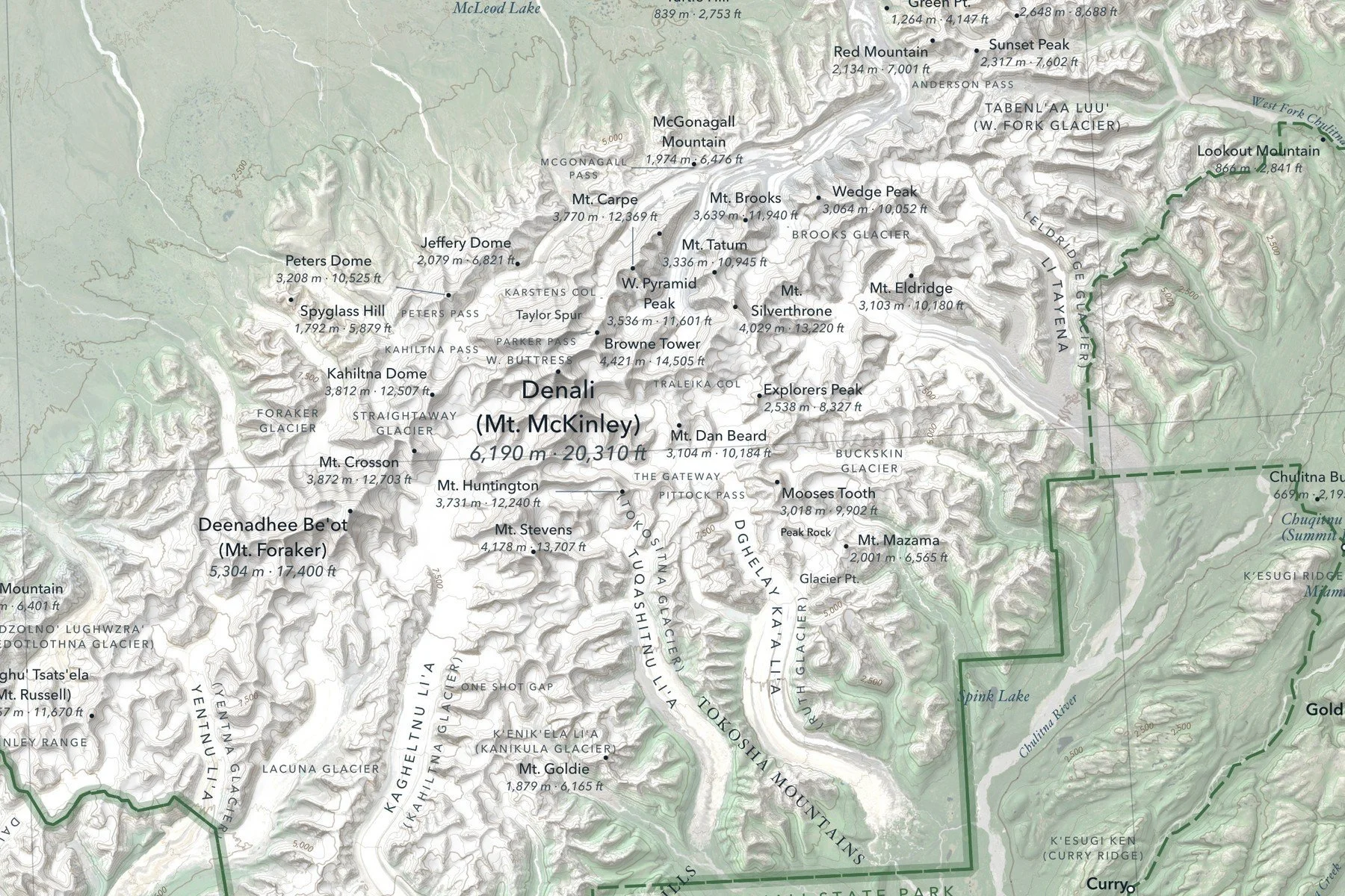
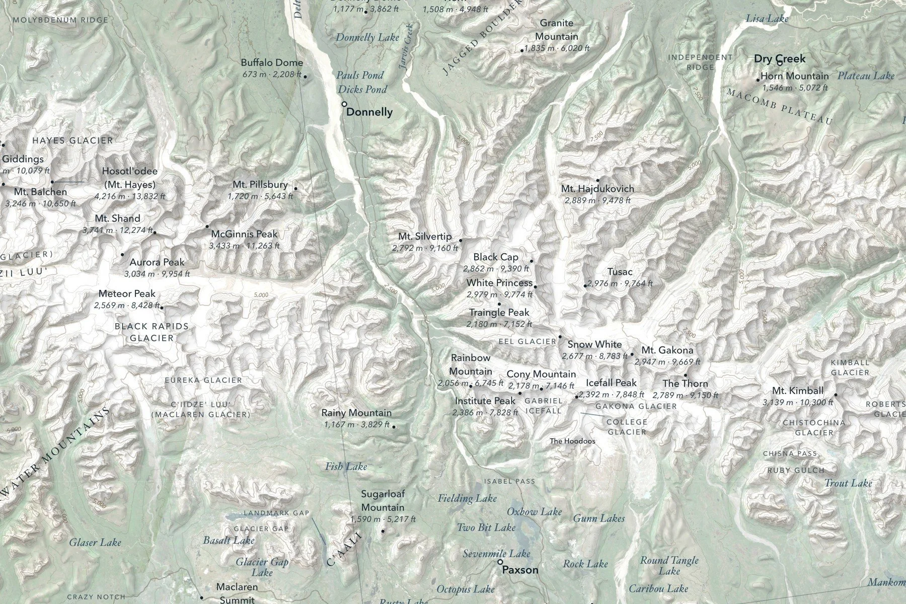
A shaded-relief map of the Alaska Range, from the Tordrillo Mountains and Cook Inlet in the west to the Wrangell Mountains in the east, with Denali (20,310 ft) at its heart, the Hayes and Delta ranges along the north side, and the Talkeetna and Chugach Mountains running down to Prince William Sound. The relief is blended with summer satellite imagery, so glaciers, rivers and lowlands read the way they look from the air. Many peaks and glaciers carry their Dena’ina, Koyukon and Ahtna names alongside the English. Printed 36 × 24 inches.
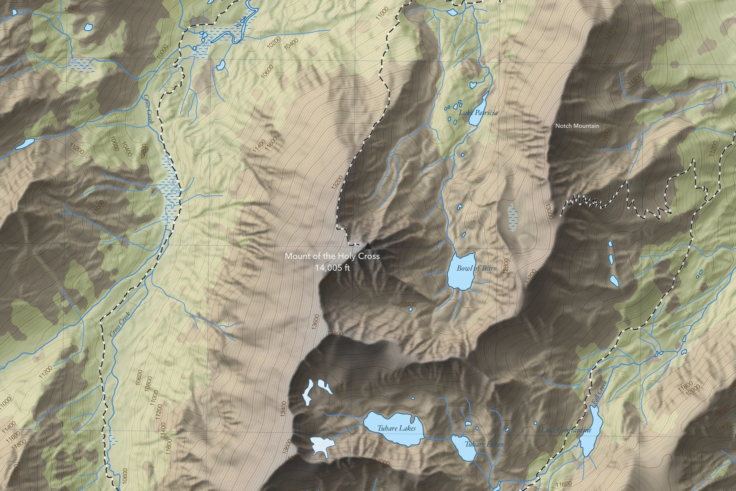
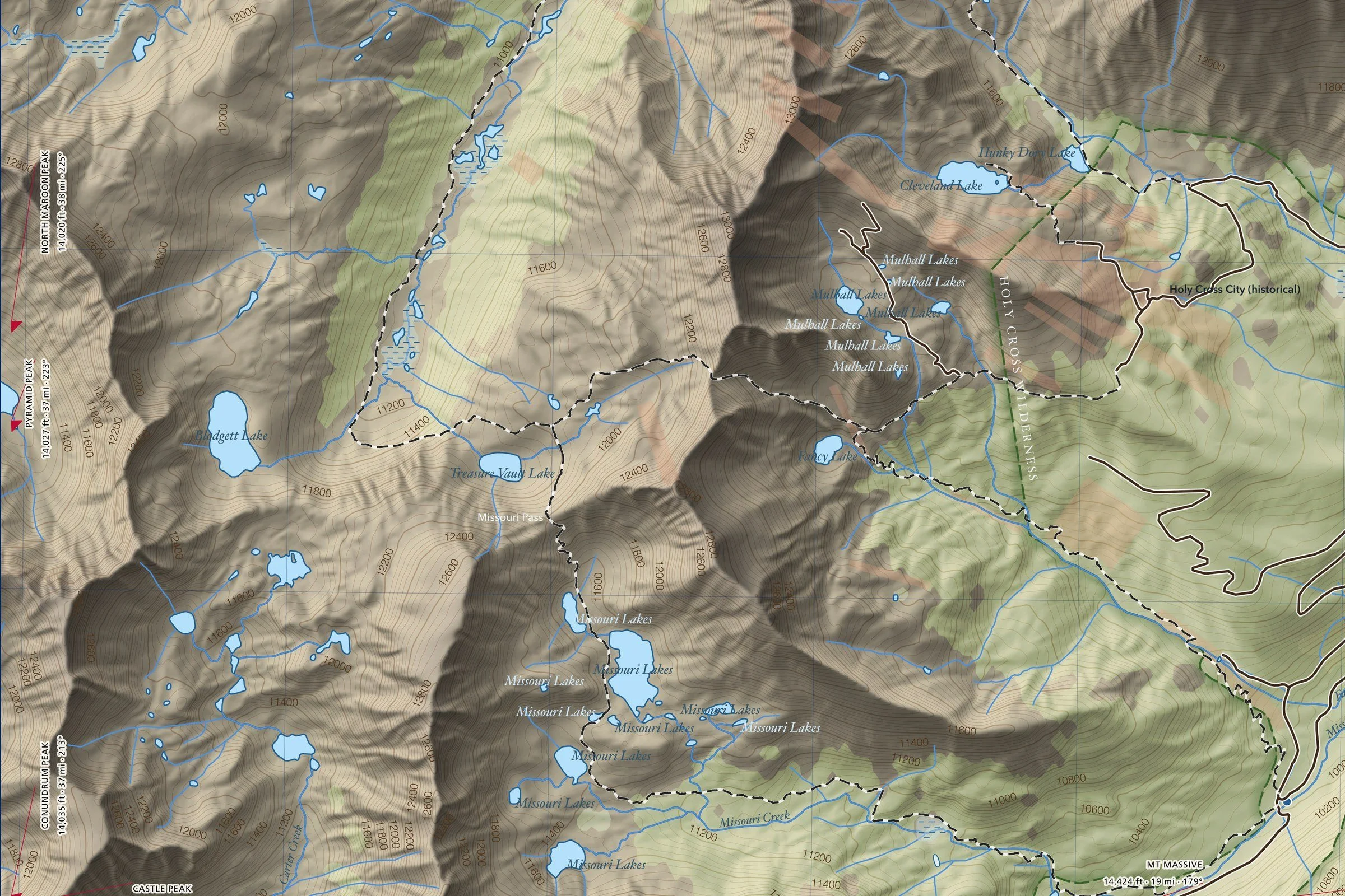
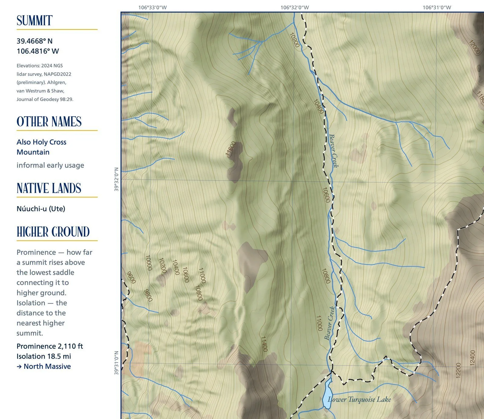
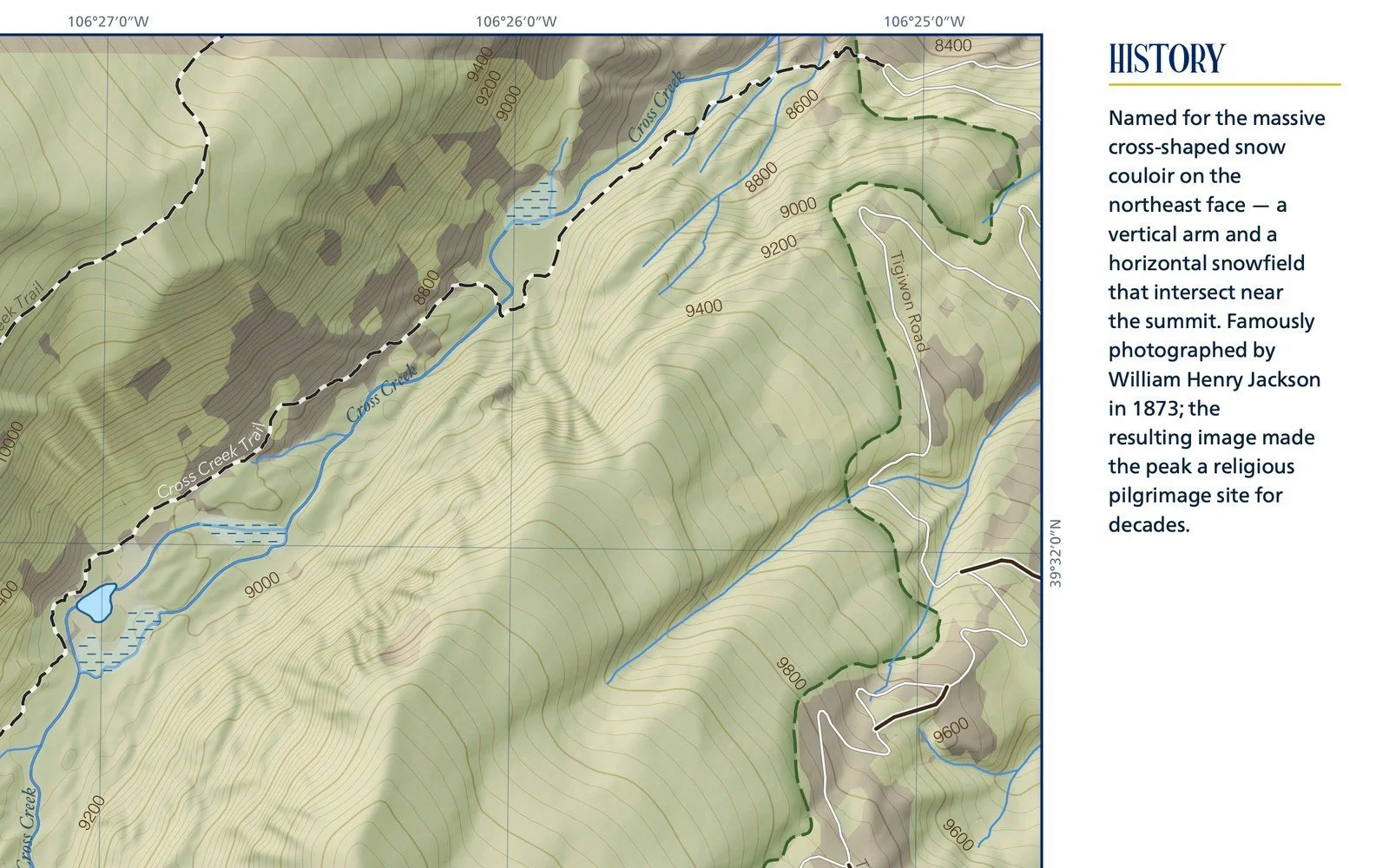
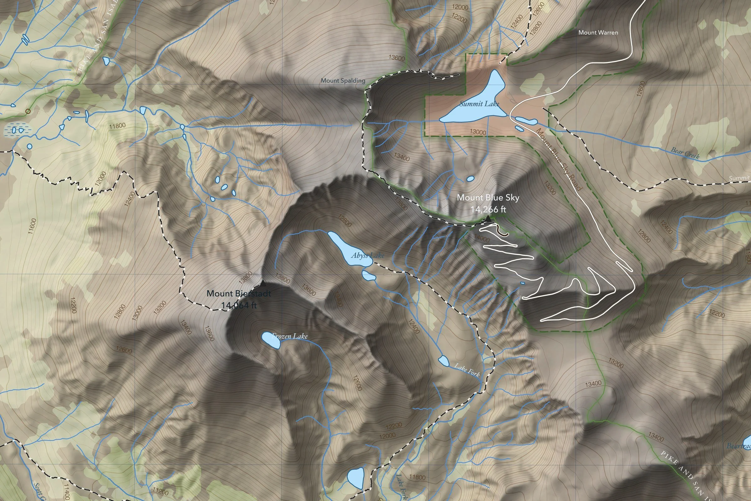
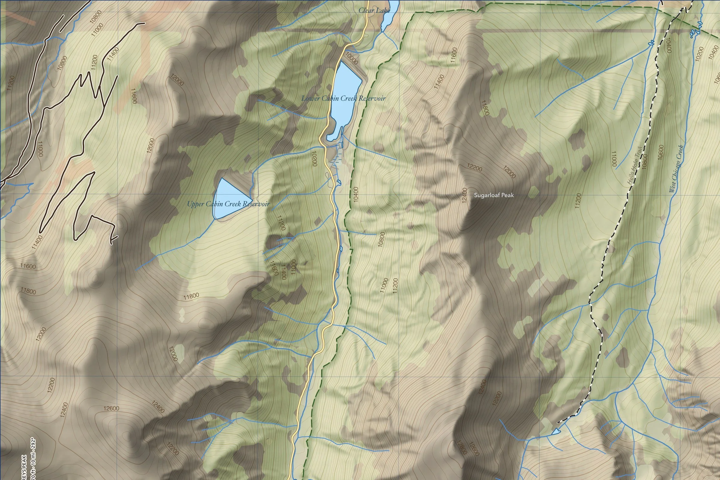
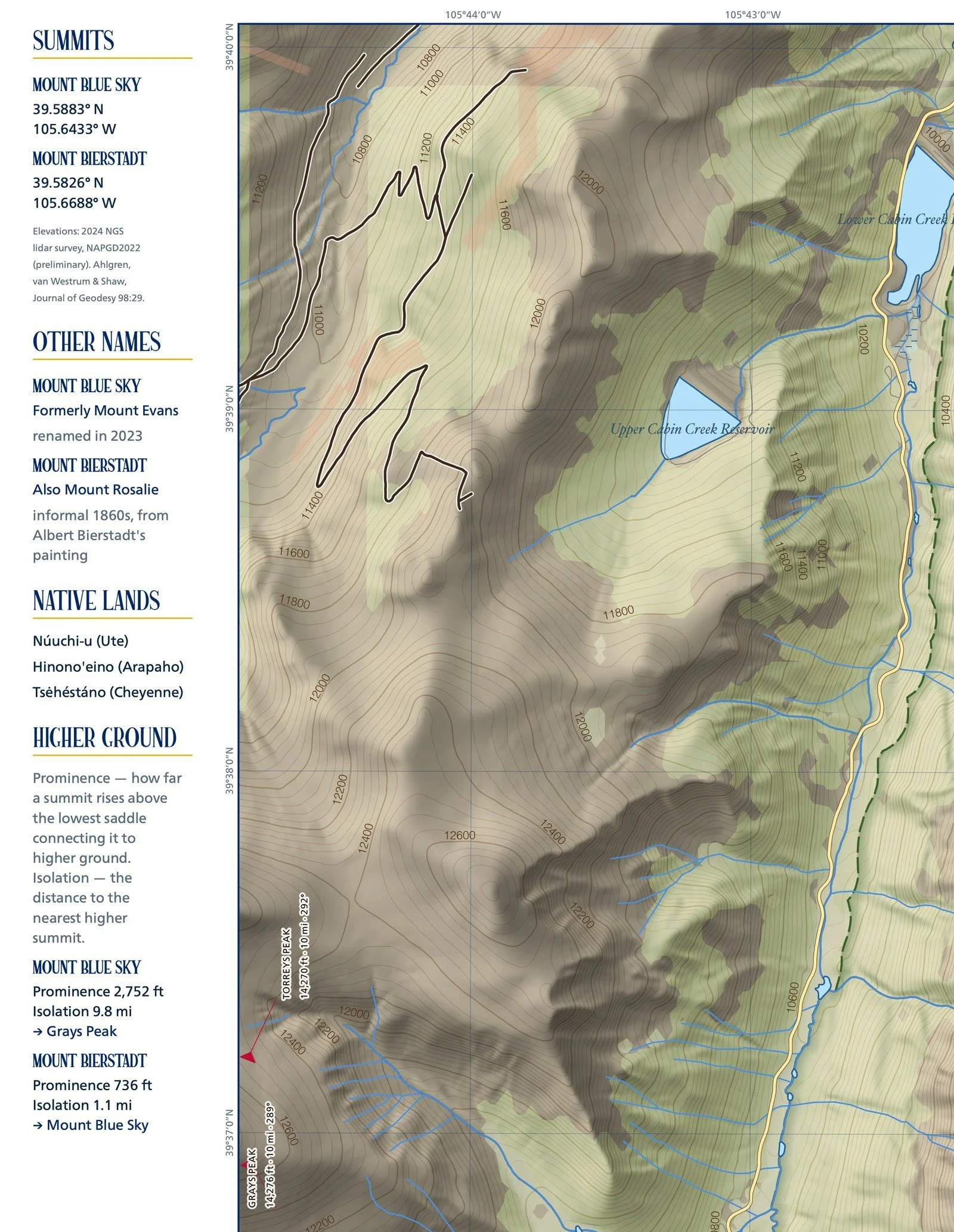
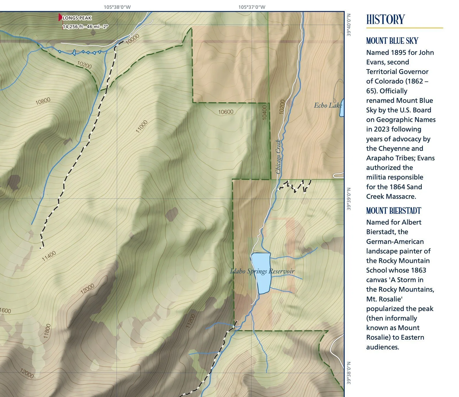
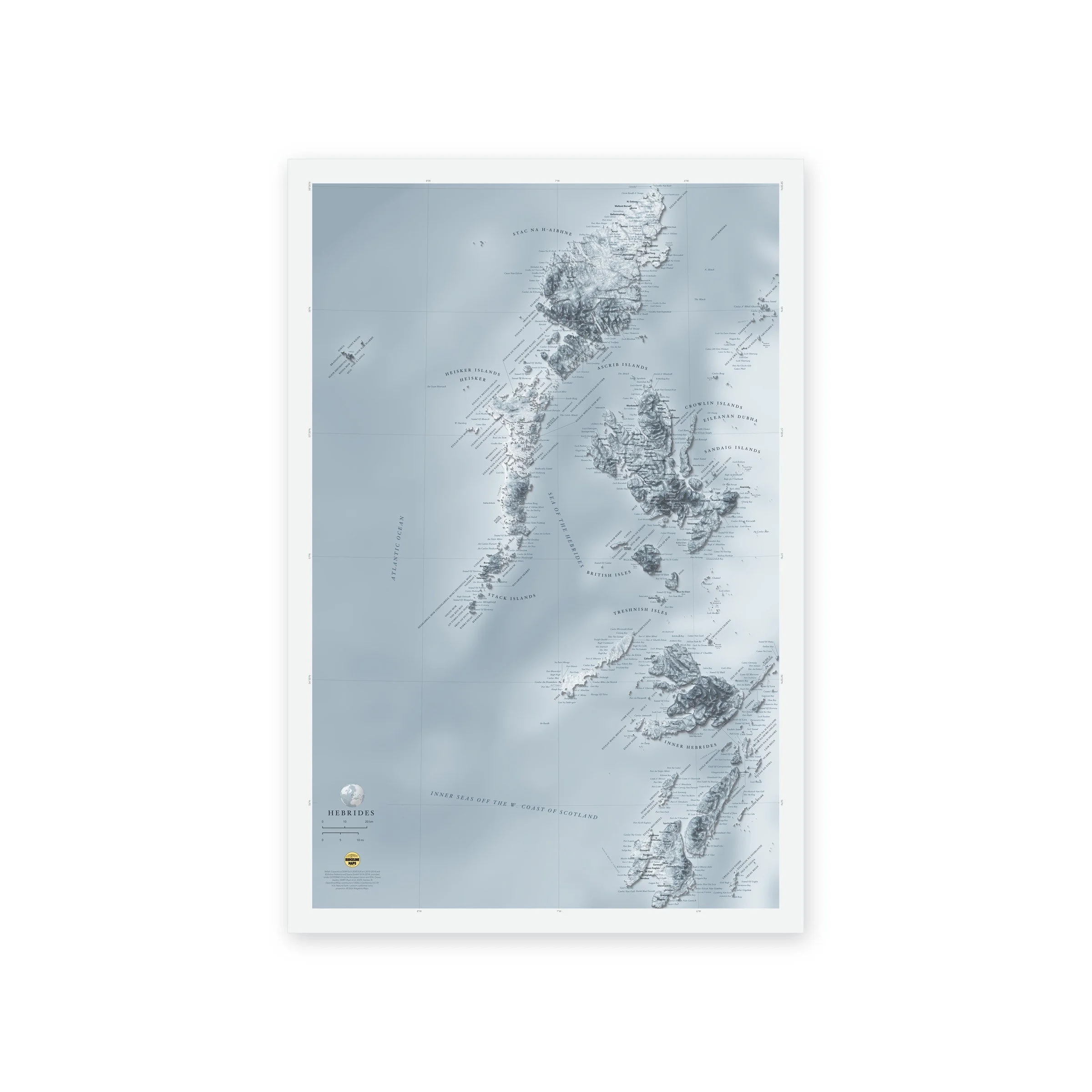
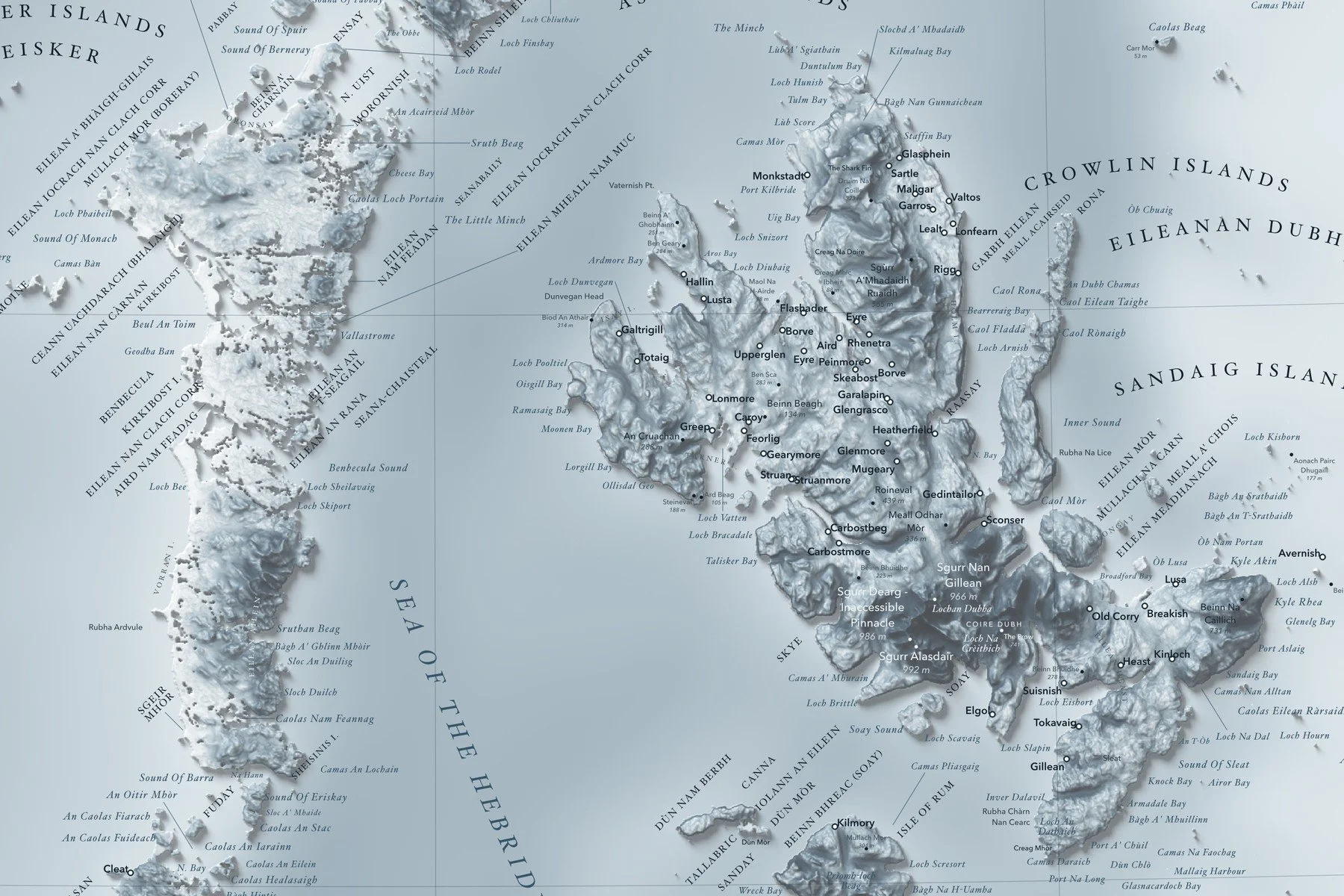
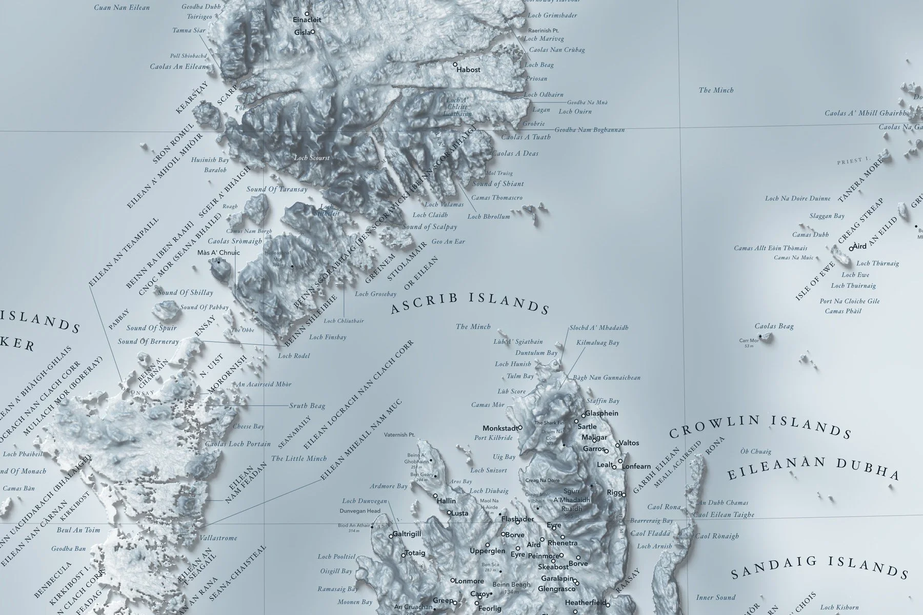
Peaks with their heights in meters and feet, glaciers, passes, rivers, lakes, towns and national parks and preserves are labeled in fine type, with 500-foot contours, a lat/long grid, a scale bar and a small globe showing where in the world it sits. Printed on fine art hot press paper. From Ridgeline Maps.
Framed: the 36 × 24-inch print is set behind a 2-inch white mat and acrylic glazing in a solid wood frame (black, white or natural oak), with a hanger attached, ready to hang. Framed size about 41.75 × 29.75 inches. Free shipping within the US; framed prints ship to US addresses only.
A shaded-relief map of the Alaska Range, from the Tordrillo Mountains and Cook Inlet in the west to the Wrangell Mountains in the east, with Denali (20,310 ft) at its heart, the Hayes and Delta ranges along the north side, and the Talkeetna and Chugach Mountains running down to Prince William Sound. The relief is blended with summer satellite imagery, so glaciers, rivers and lowlands read the way they look from the air. Many peaks and glaciers carry their Dena’ina, Koyukon and Ahtna names alongside the English. Printed 36 × 24 inches.
Peaks with their heights in meters and feet, glaciers, passes, rivers, lakes, towns and national parks and preserves are labeled in fine type, with 500-foot contours, a lat/long grid, a scale bar and a small globe showing where in the world it sits. Printed on fine art hot press paper. From Ridgeline Maps.