

North American Renewables Map
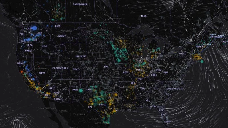
This map is in the works still. About 11,500 wind, solar, hydro and geothermal plants across the US and Canada, with each one's output this hour, estimated from the grid operators' reports and local weather. Updated hourly; play back two days. Free to explore in your browser.