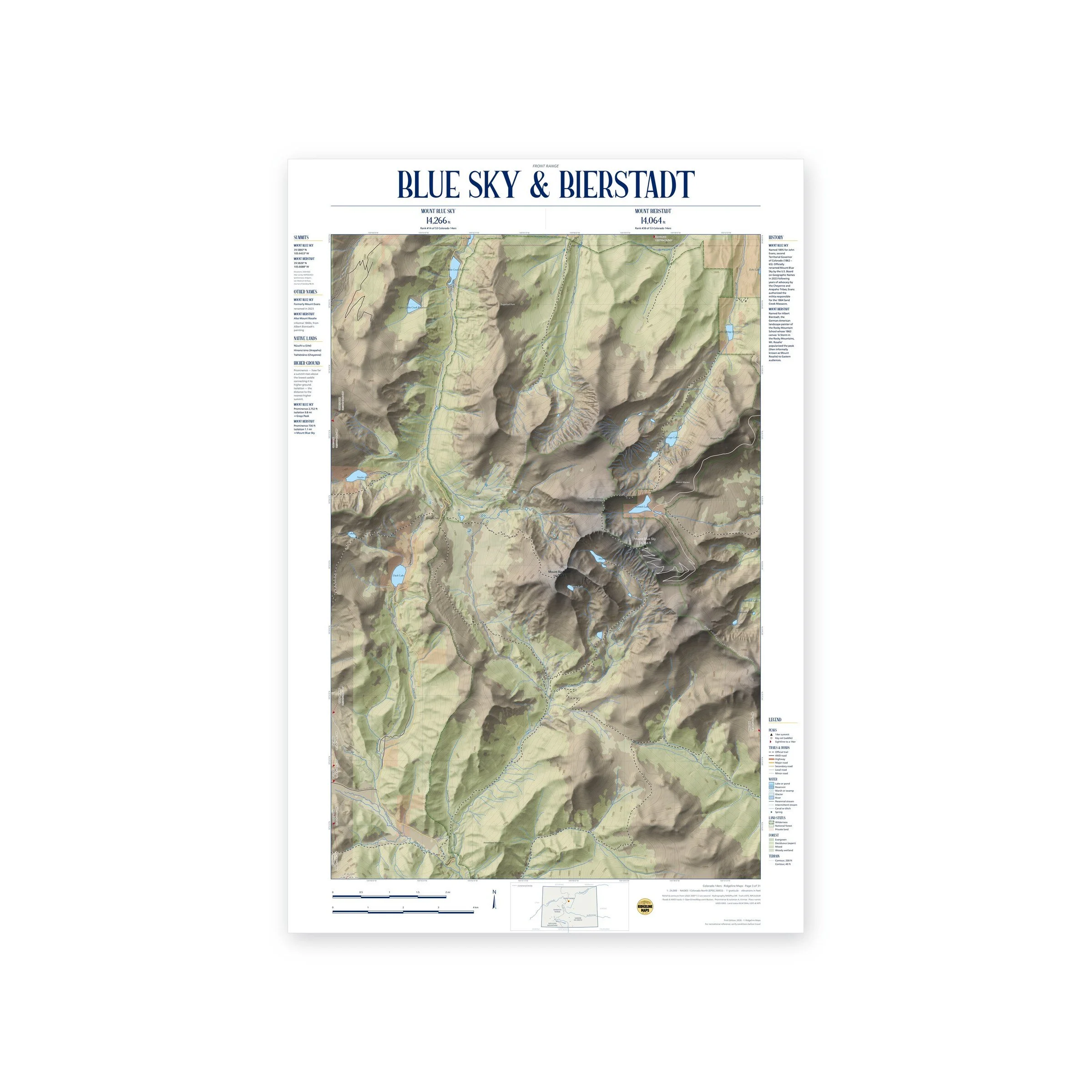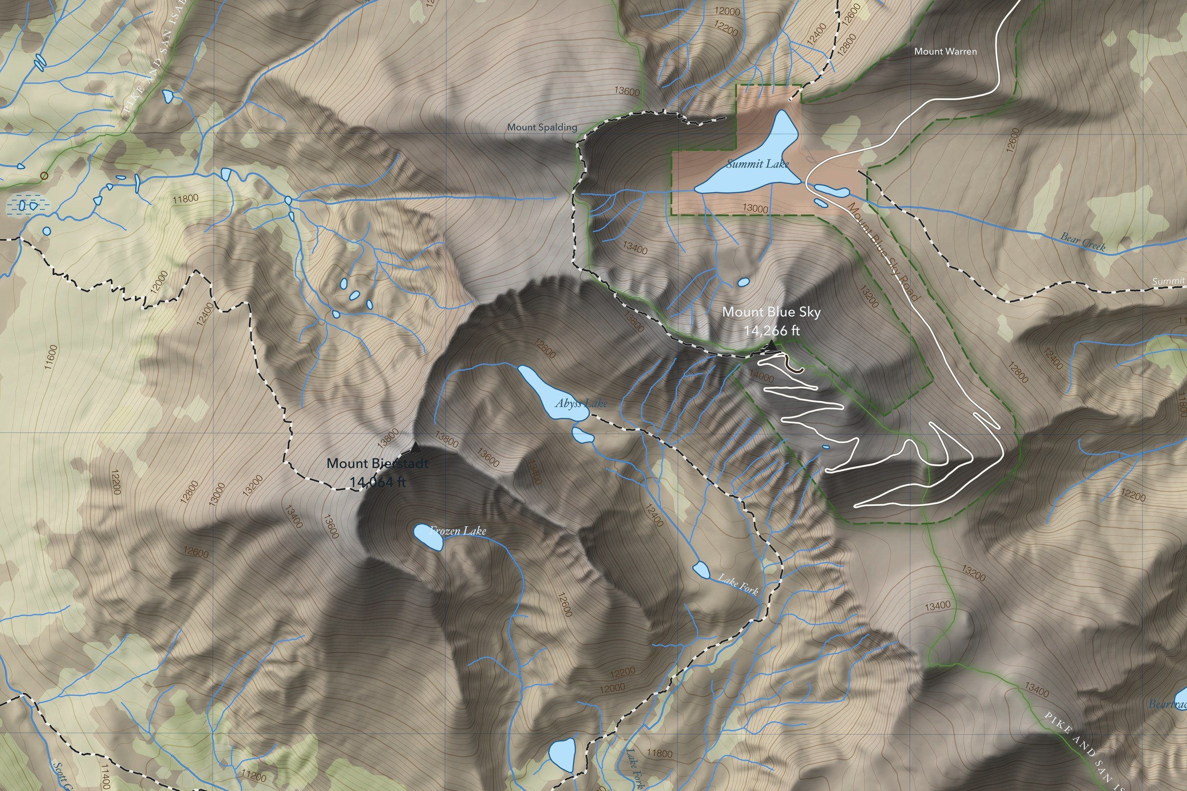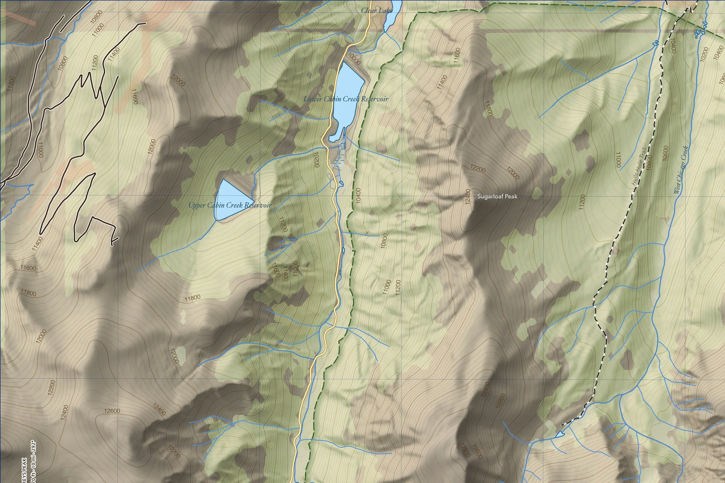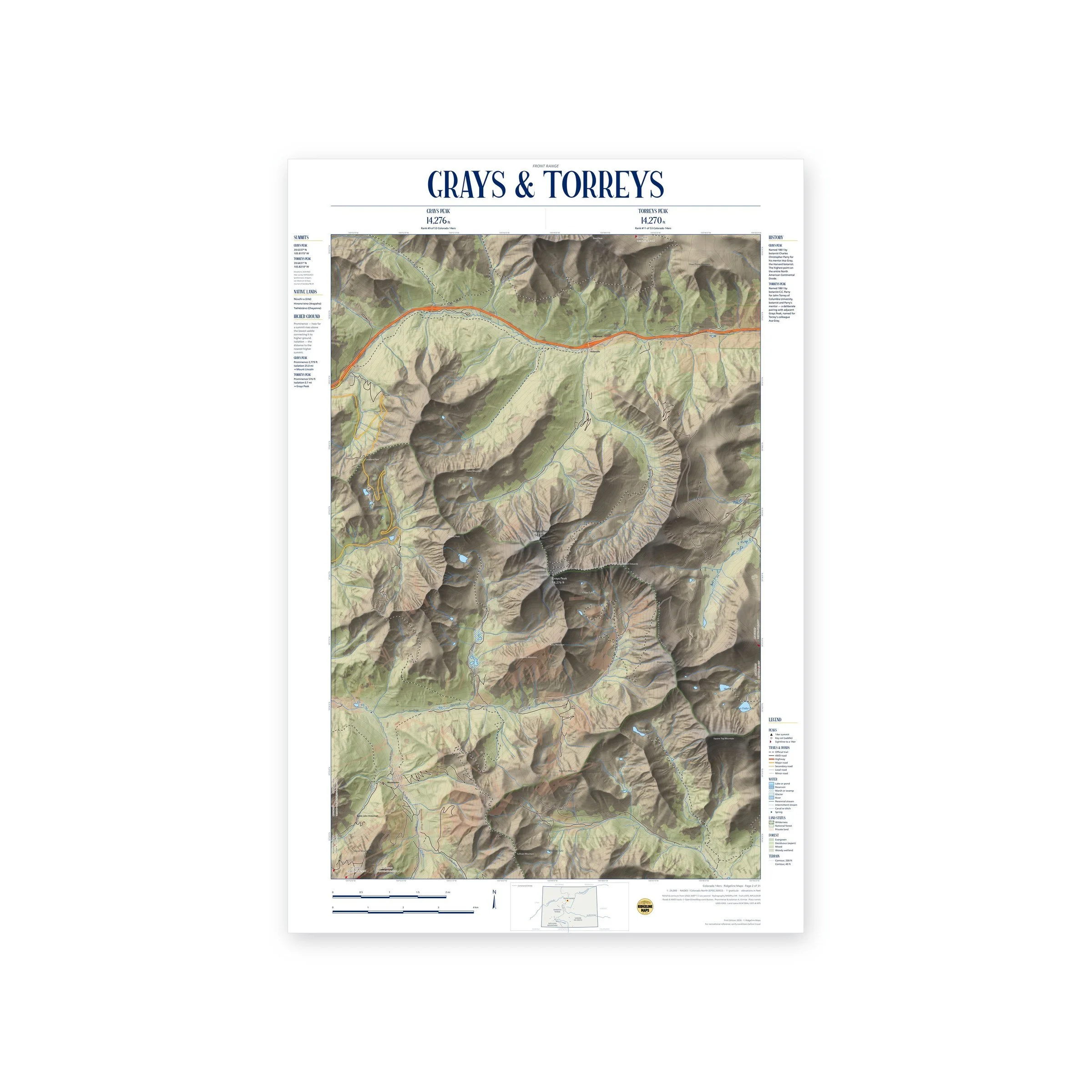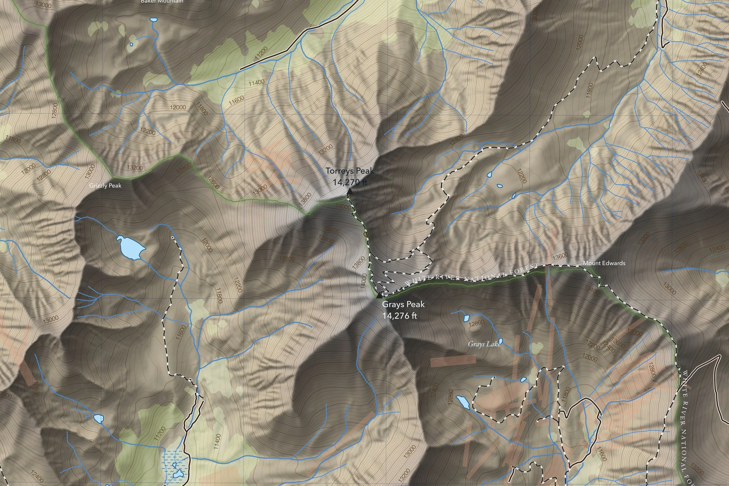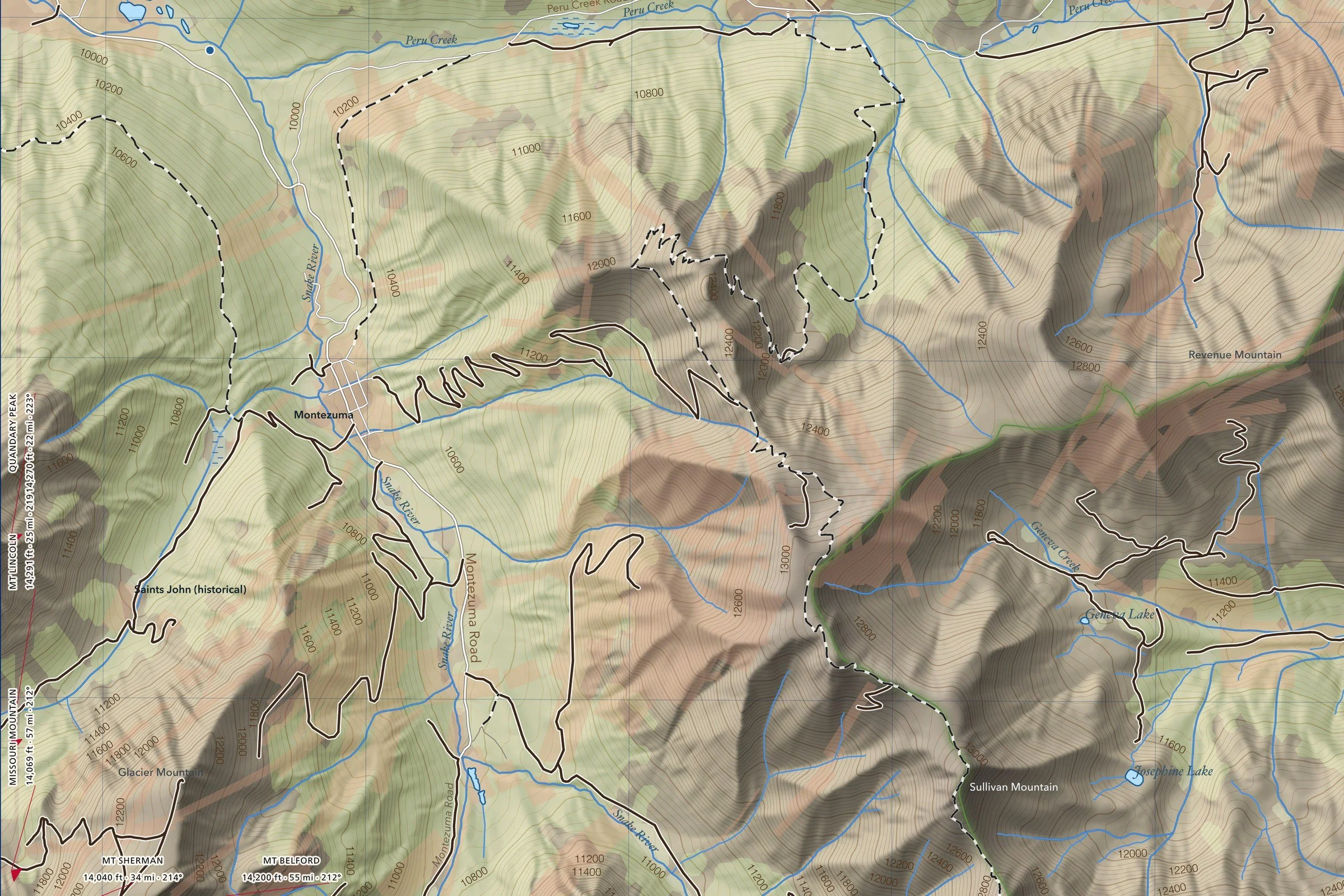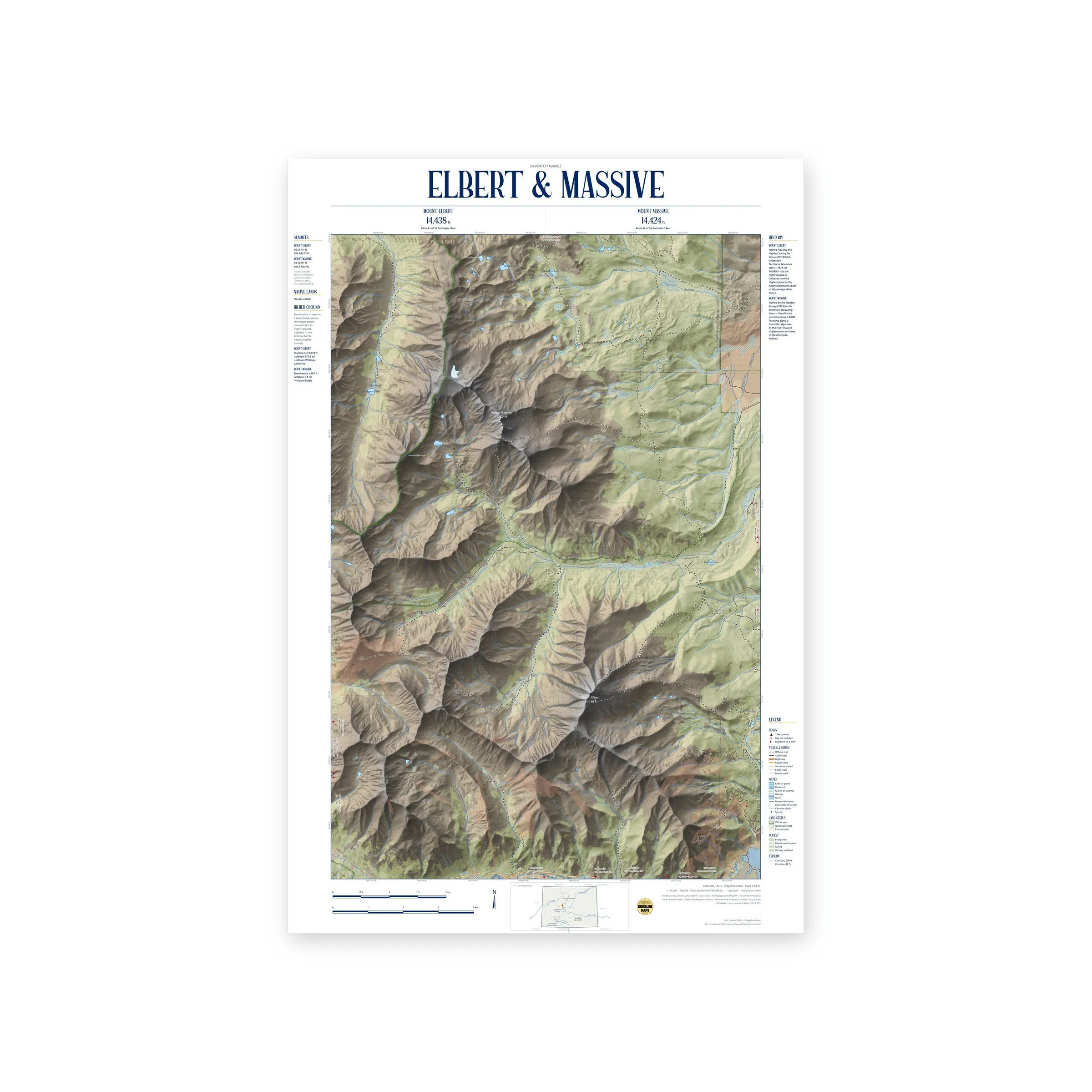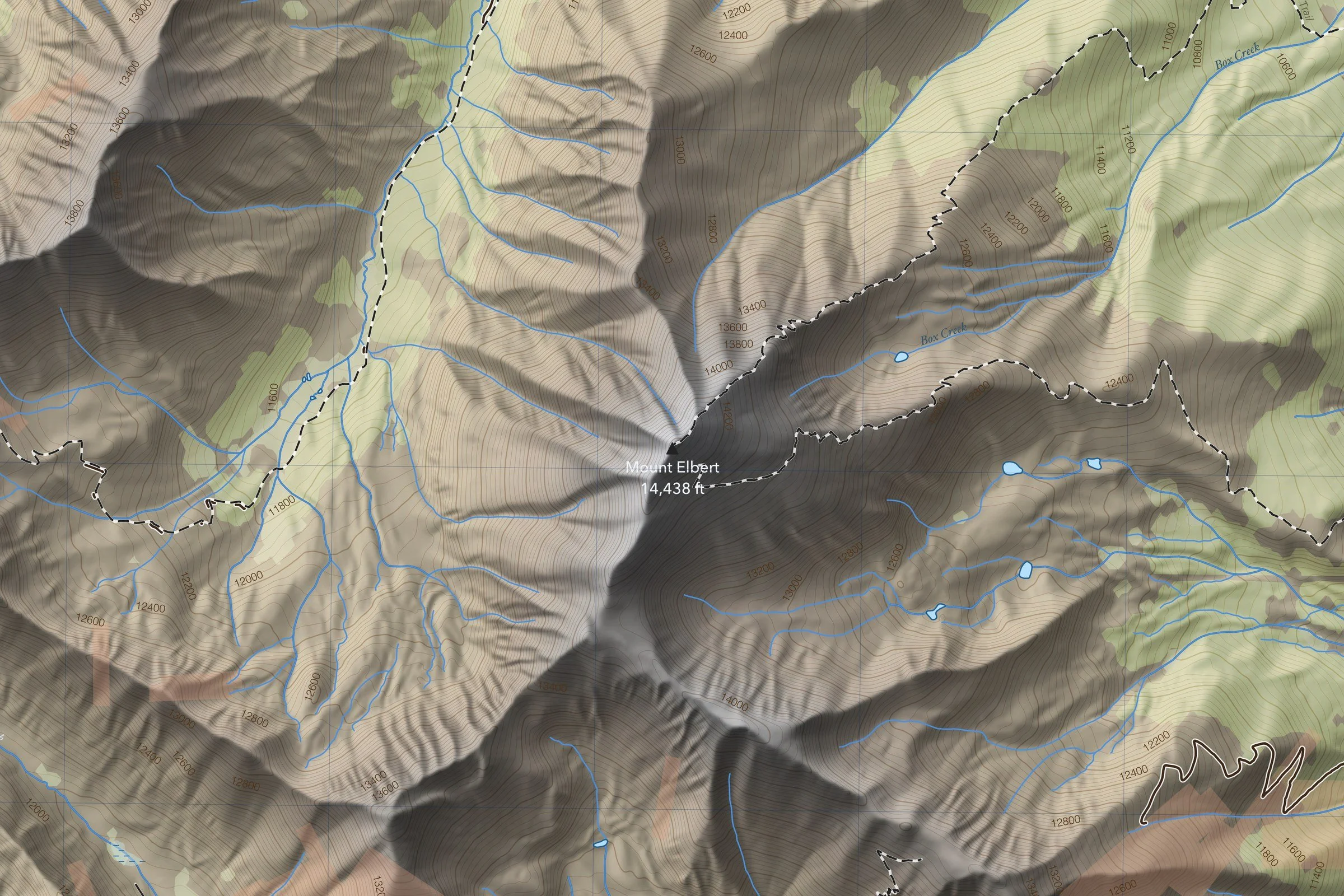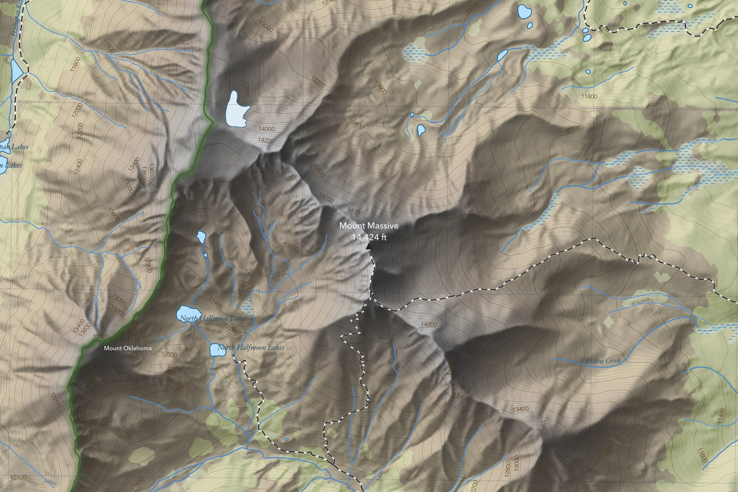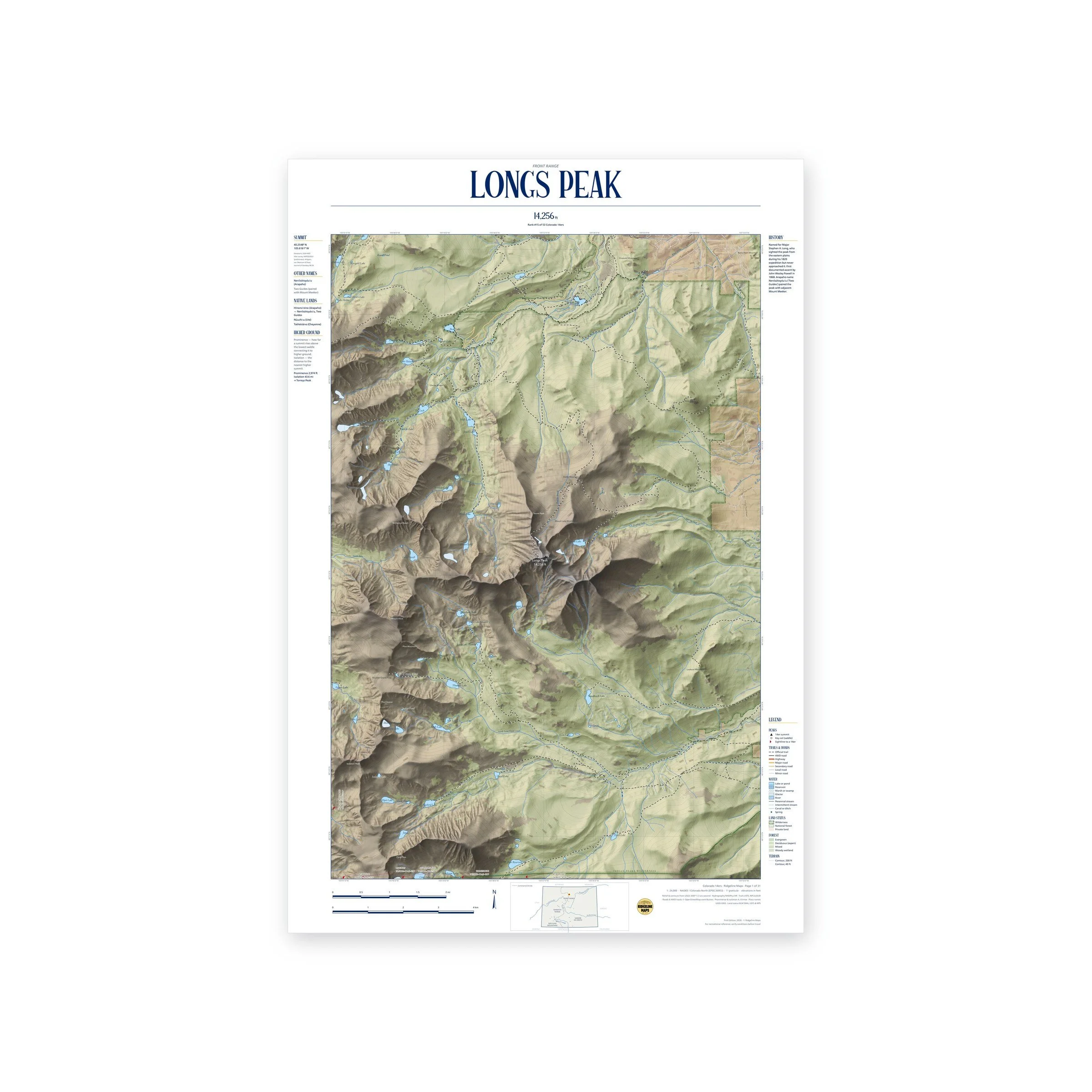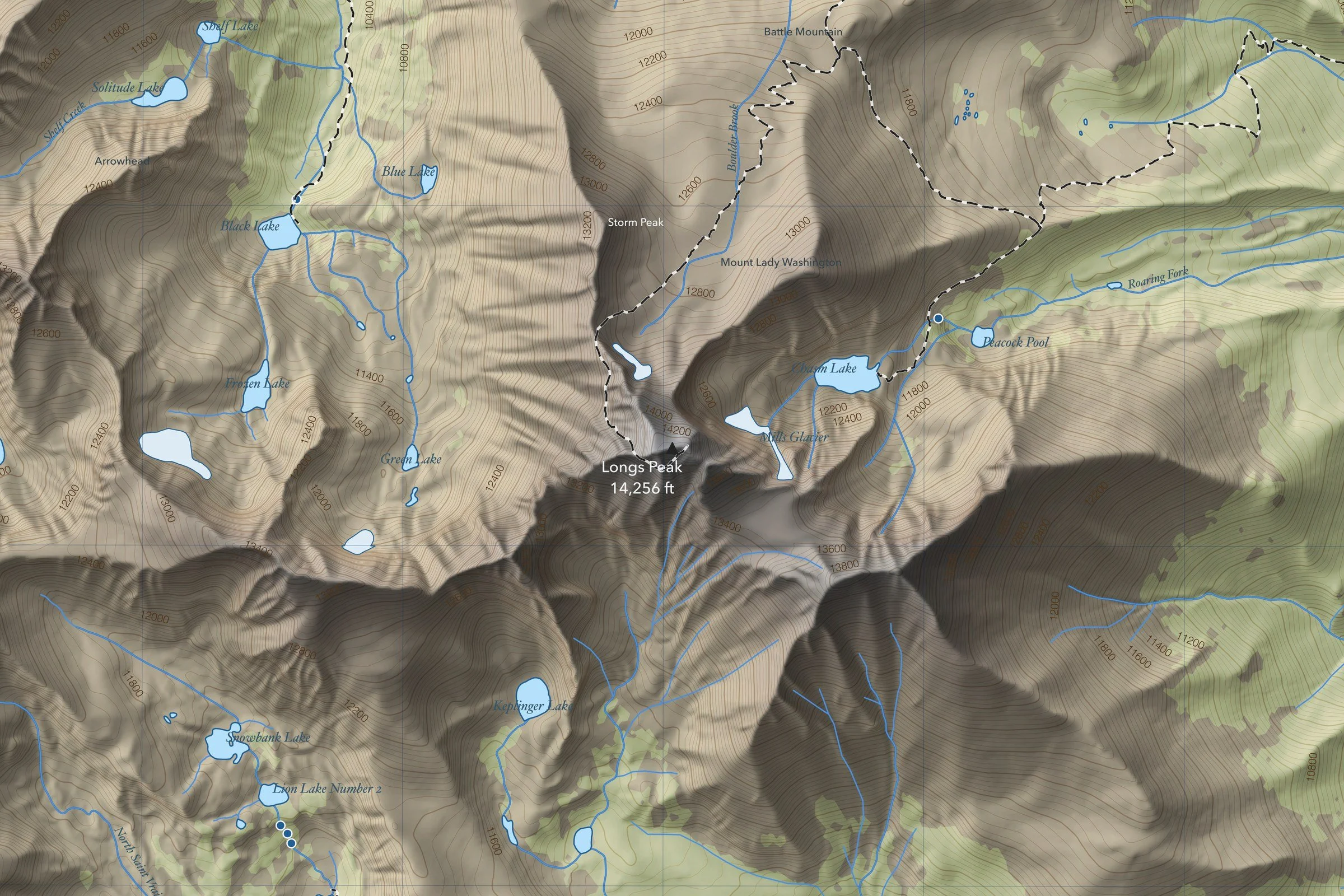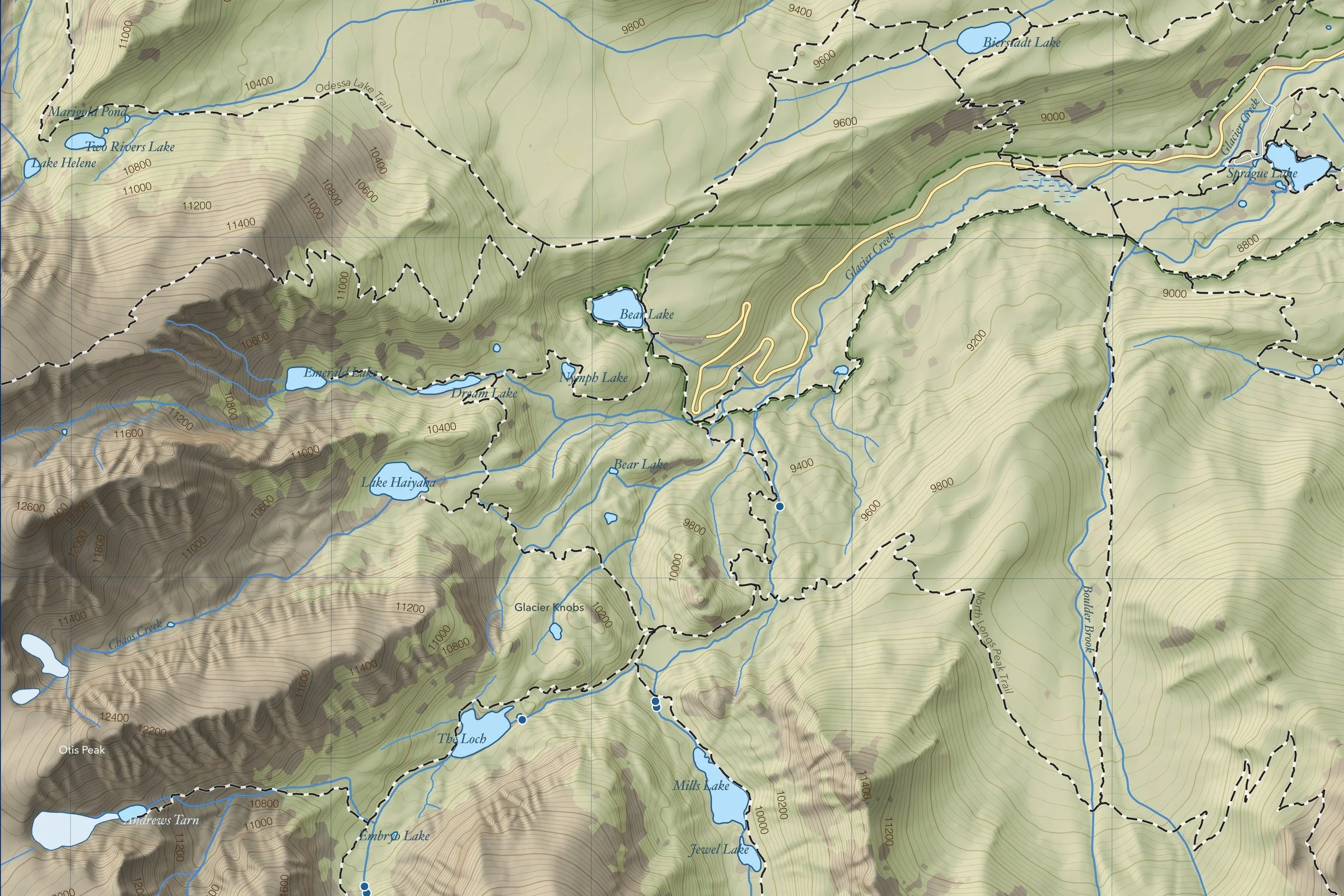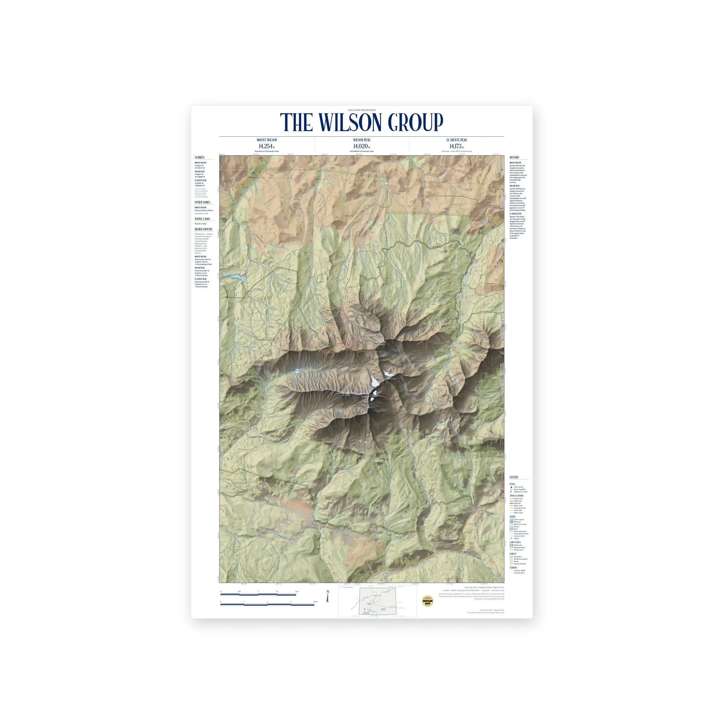
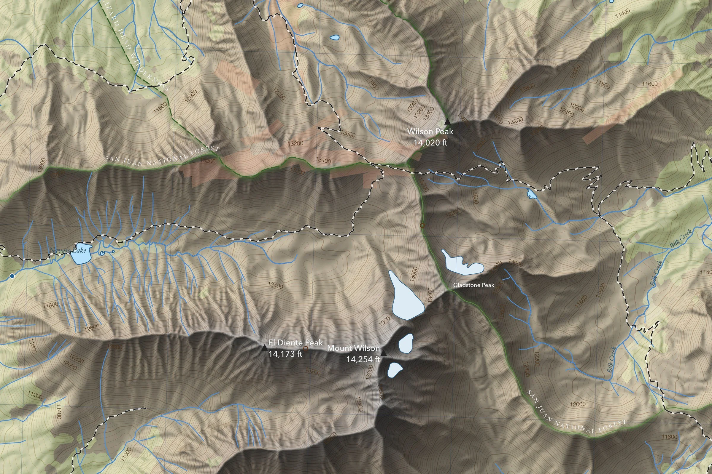
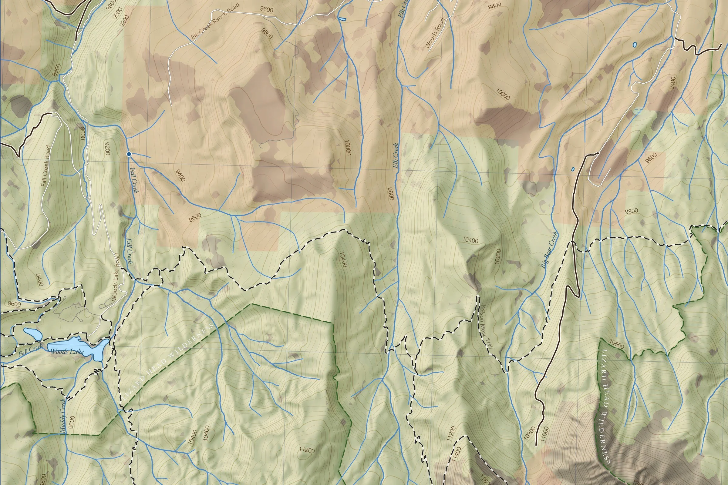
A 1:24,000 topographic map of the Wilson Group in Colorado’s San Juan Mountains, covering three 14ers: Mount Wilson (14,254 ft), Wilson Peak (14,020 ft) and El Diente Peak (14,173 ft). Shaded relief with 200-foot and 40-foot contours from USGS lidar elevation data, with official trails, 4WD roads, lakes and streams, forest cover, and wilderness, national forest and private land boundaries. Sightline markers along the edges point toward other 14ers, with each one’s distance and bearing. Printed 24 × 36 inches.
The margins give each summit’s coordinates, prominence and isolation, the Native lands it sits within, other names where they exist, and a short history. Elevations are from the 2024 NGS lidar survey. One of 31 maps in the Ridgeline Maps Colorado 14ers series, covering all 58 peaks. Printed on fine art hot press paper. Unframed. From Ridgeline Maps.