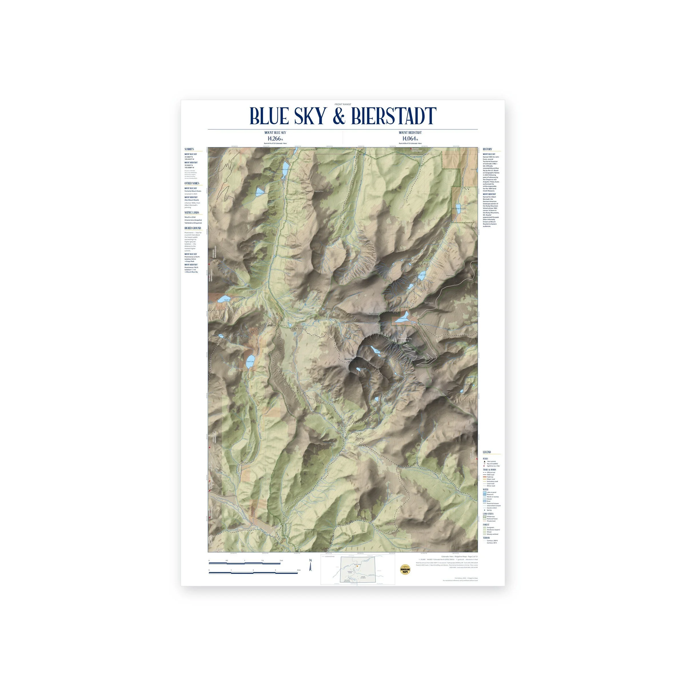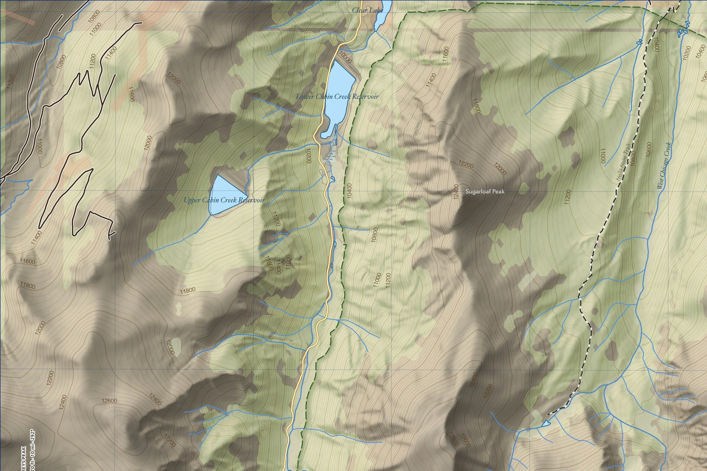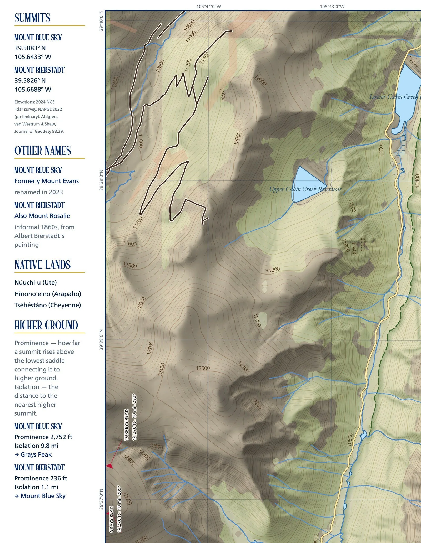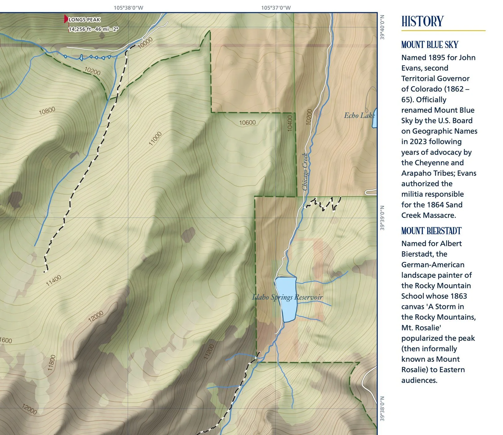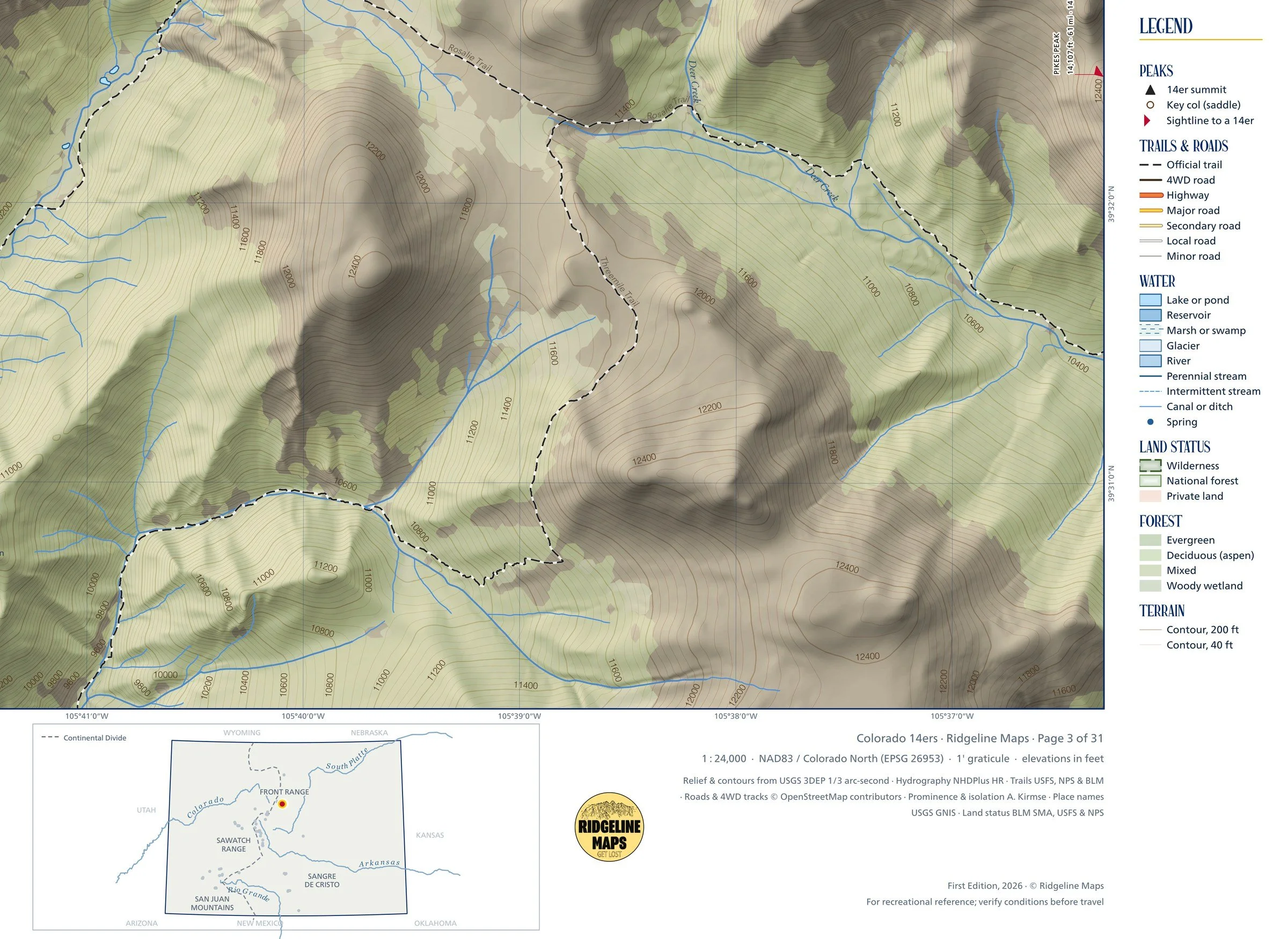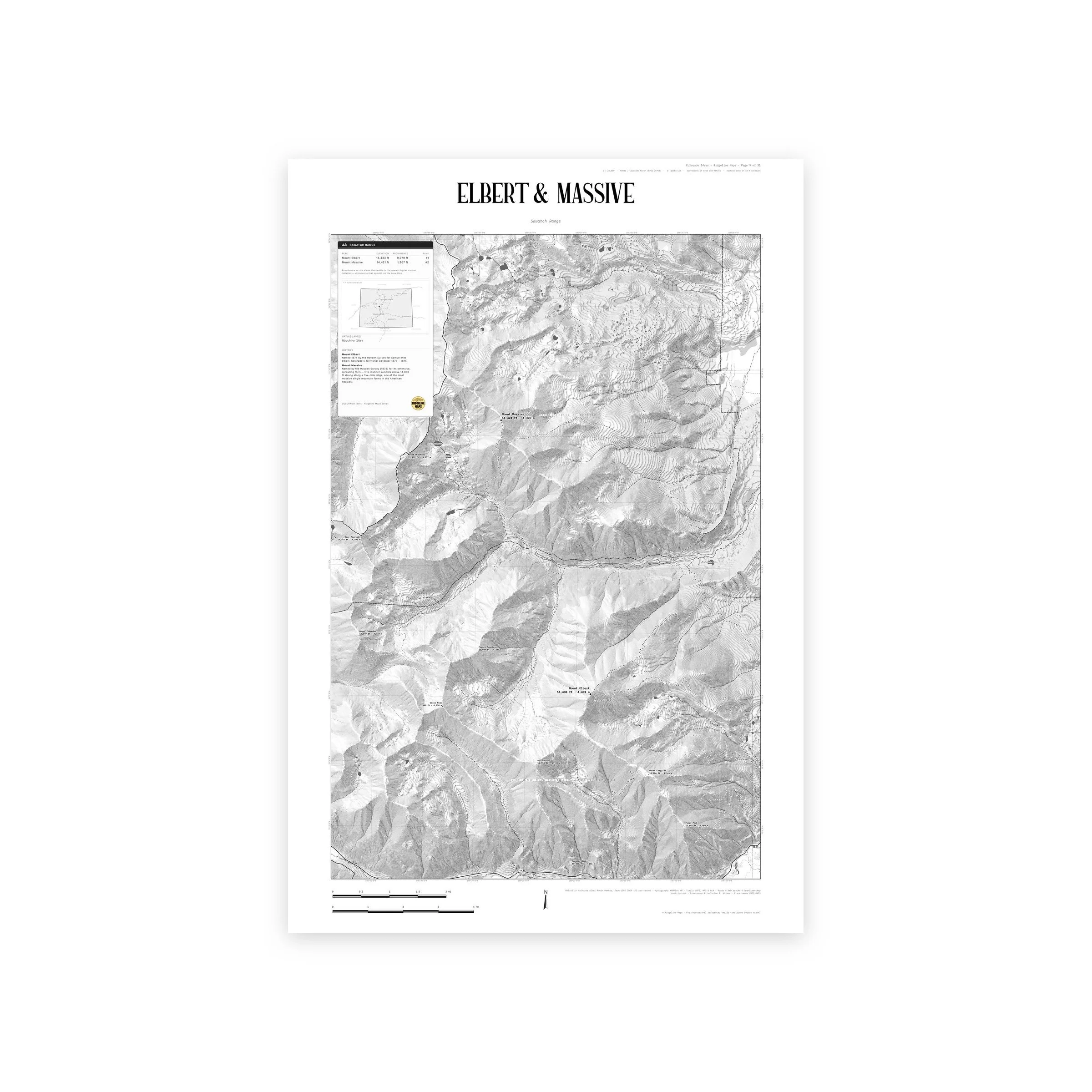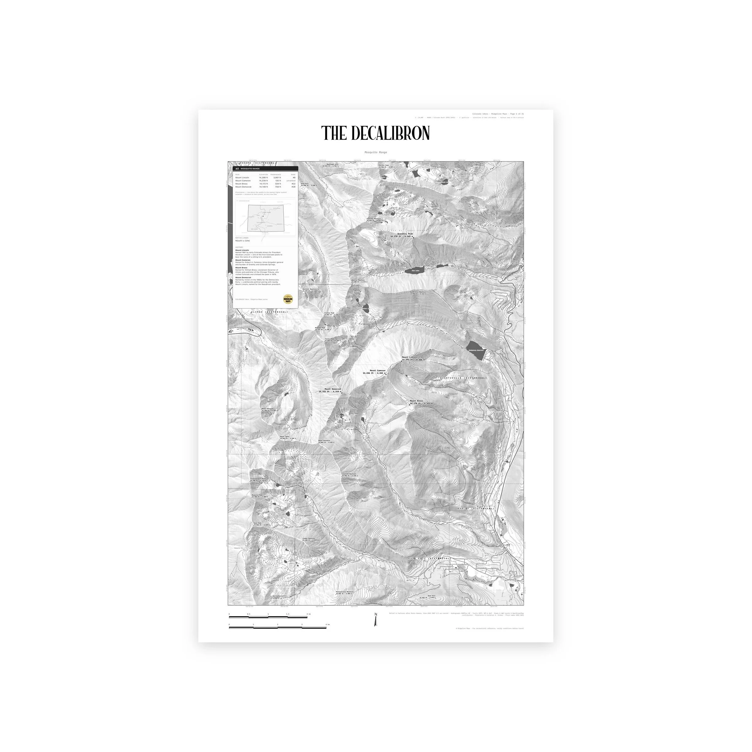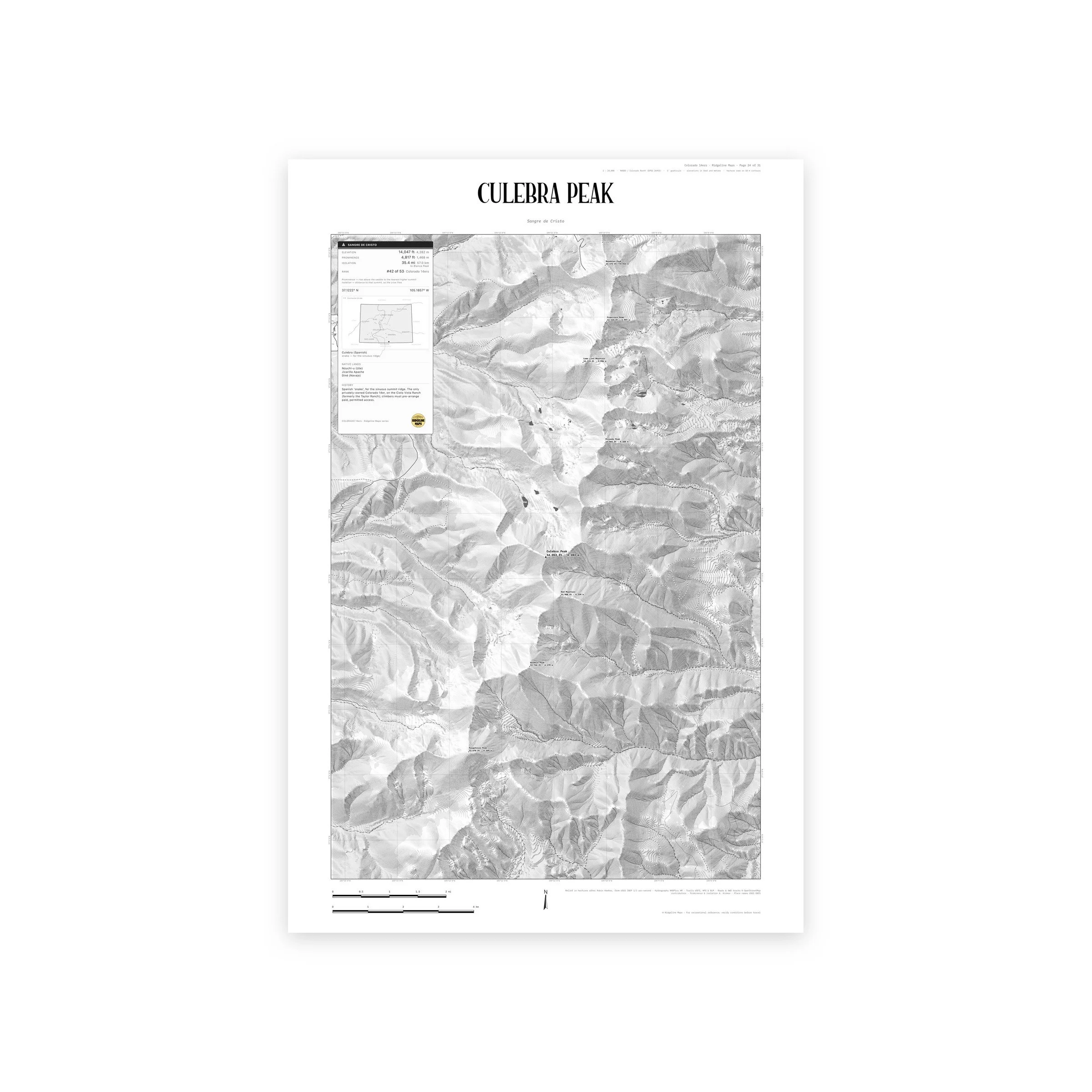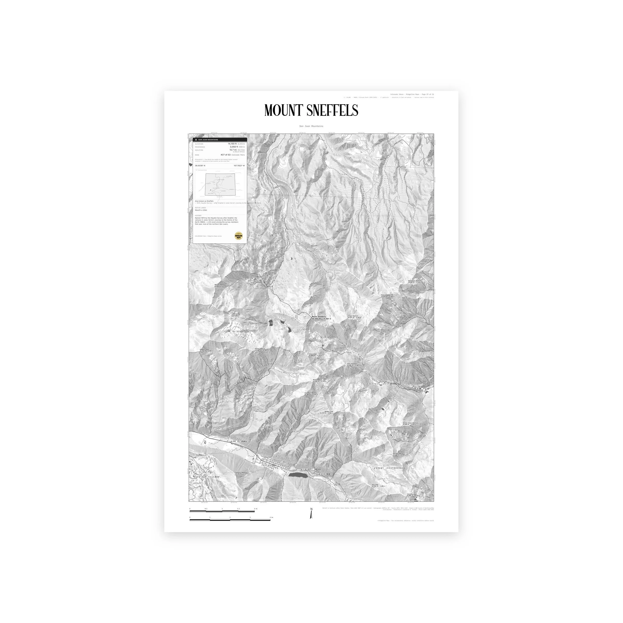
Size: 24 × 36 inches (61 × 91 cm)
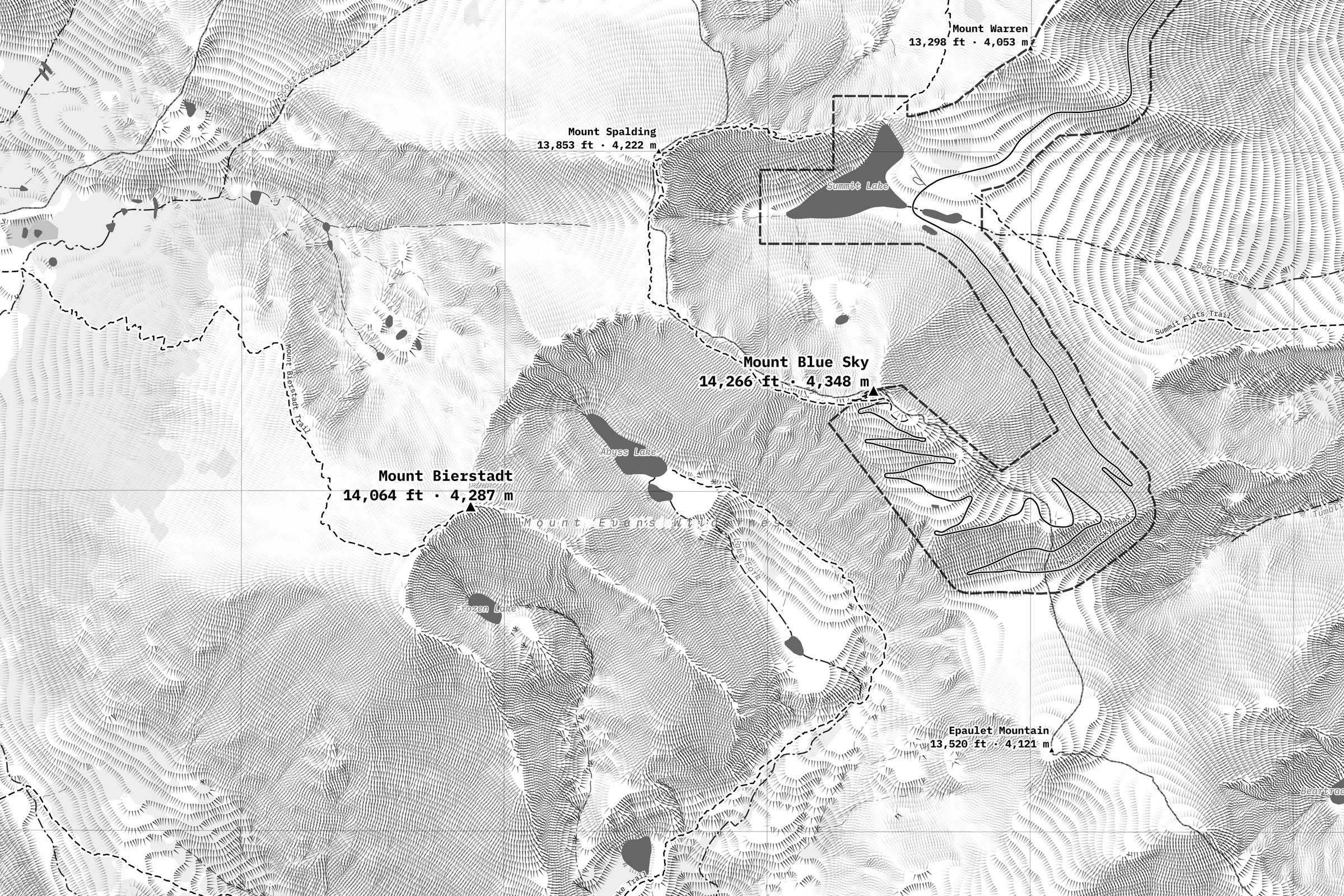
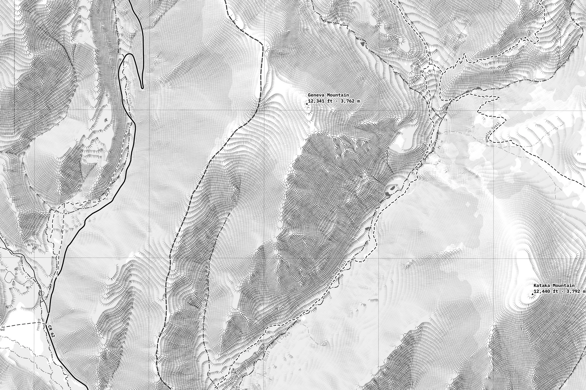
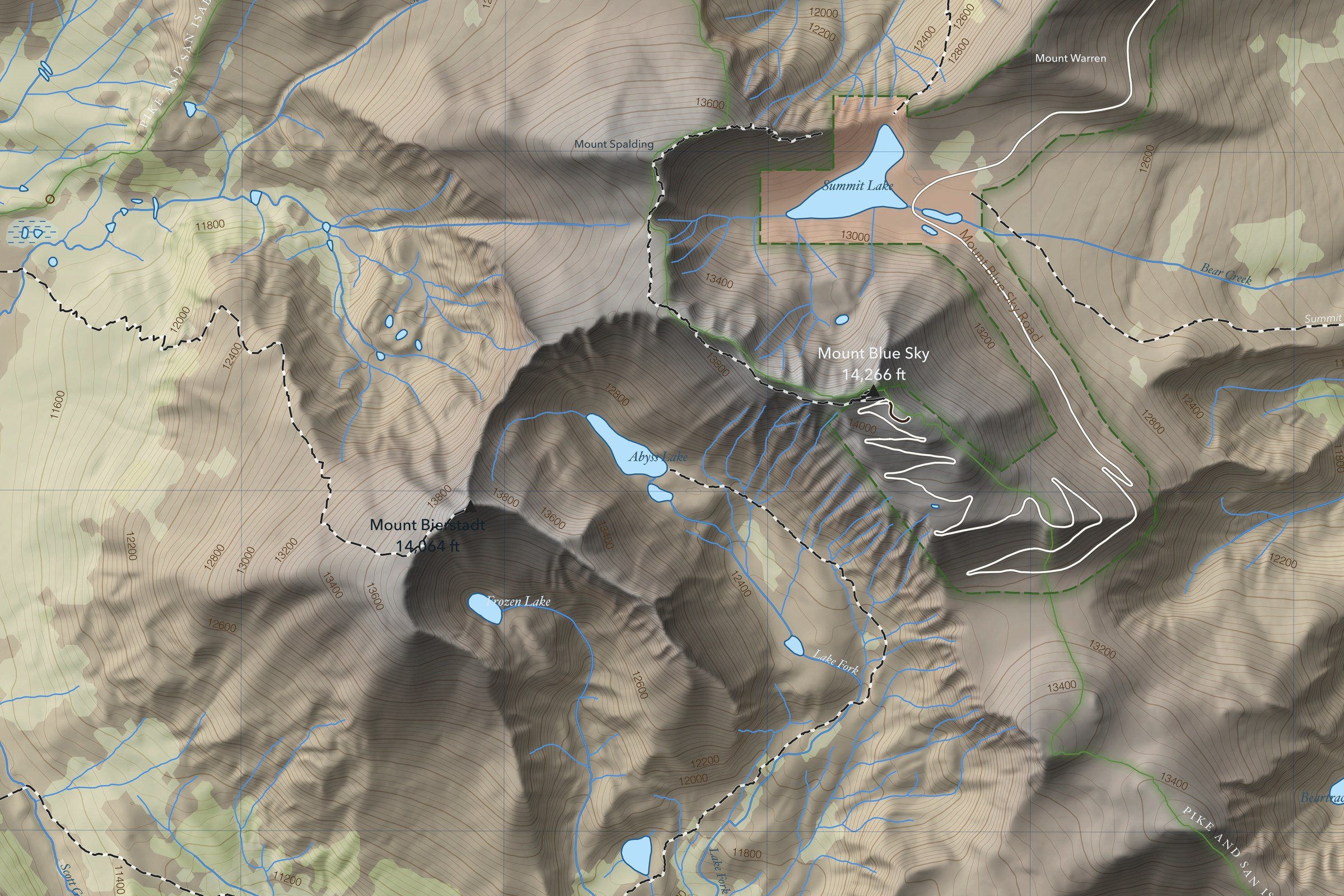
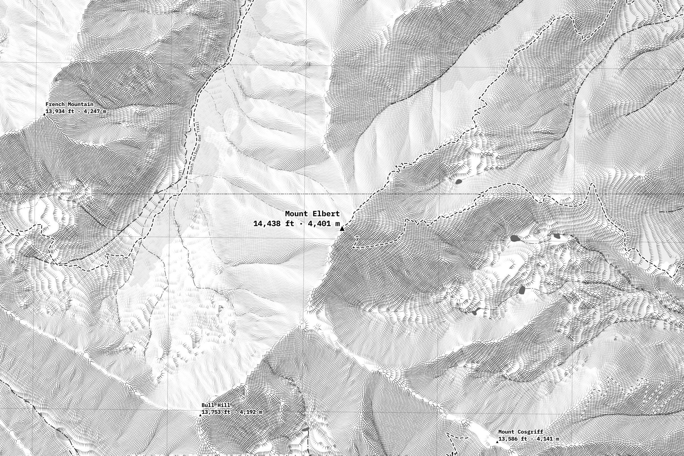
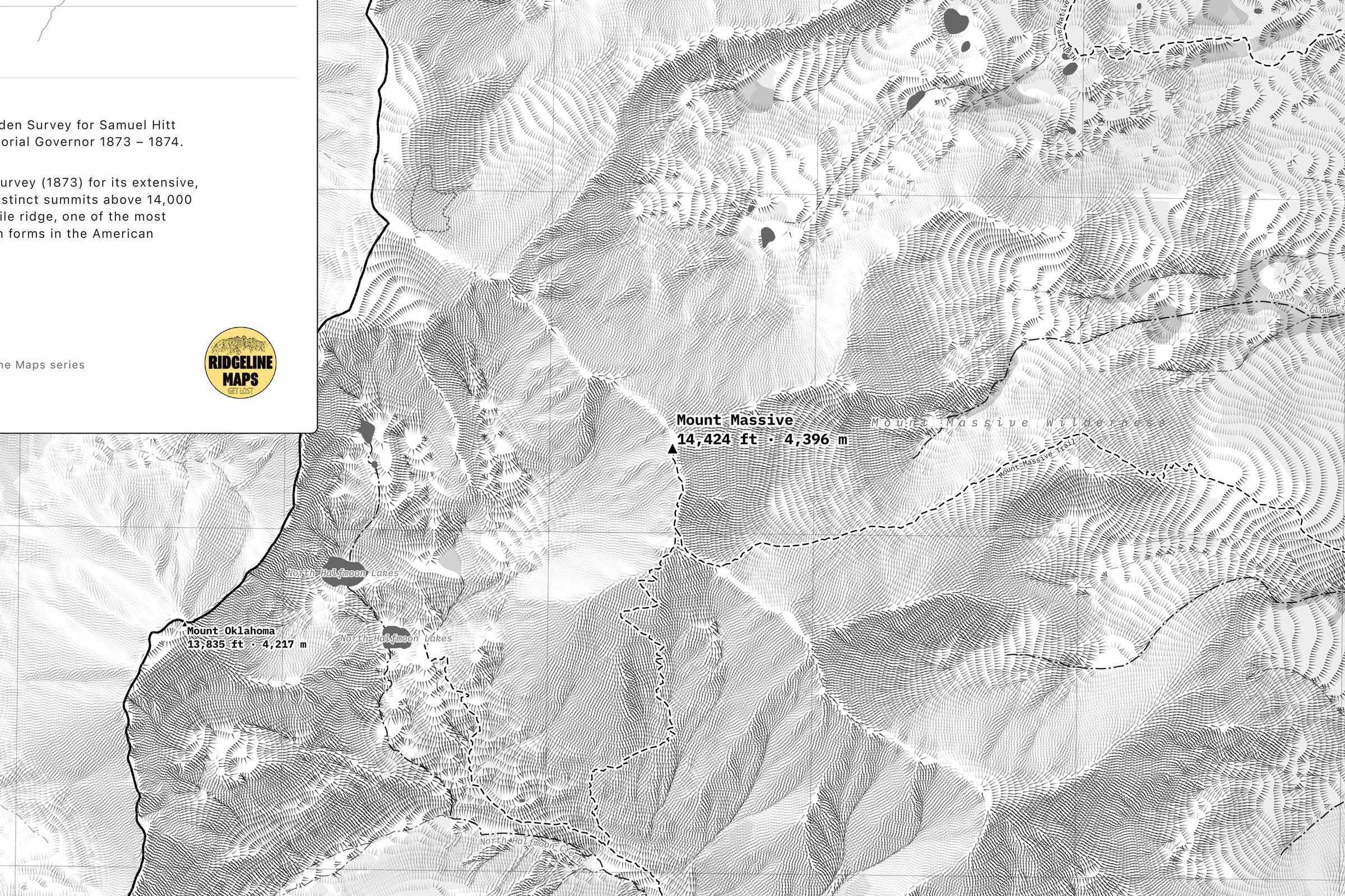
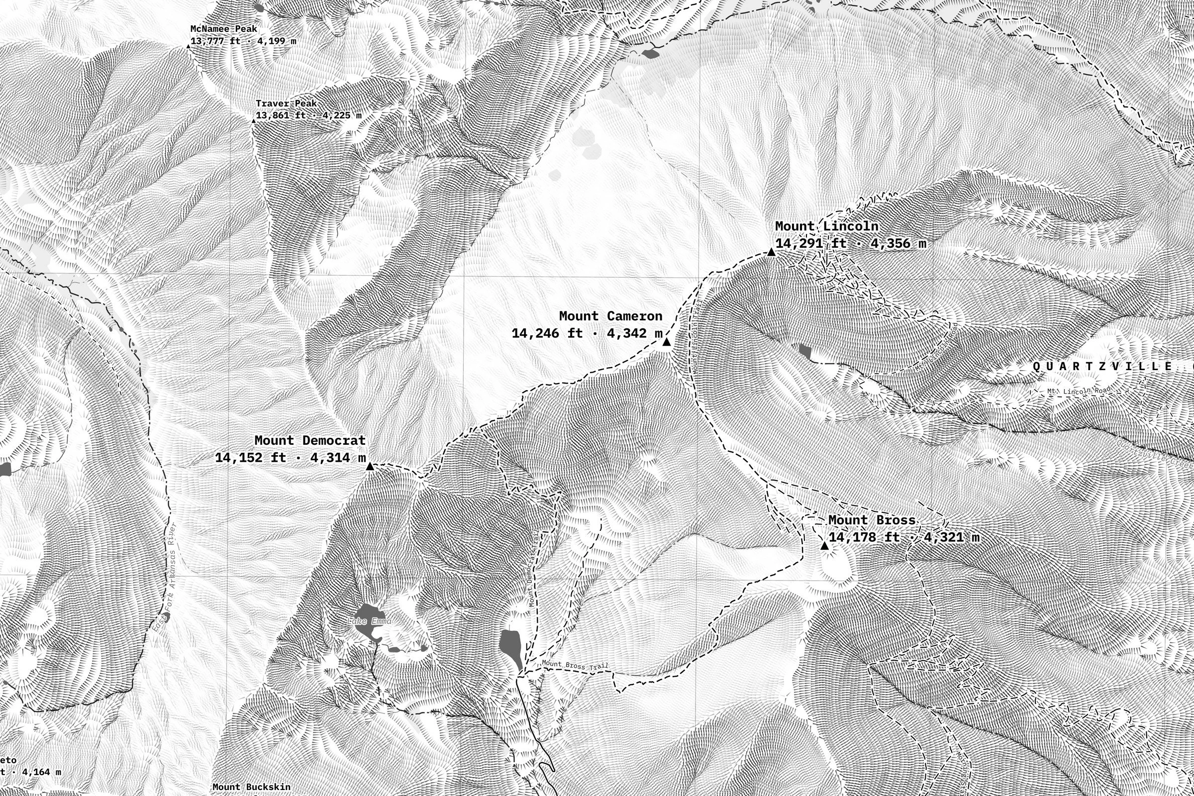
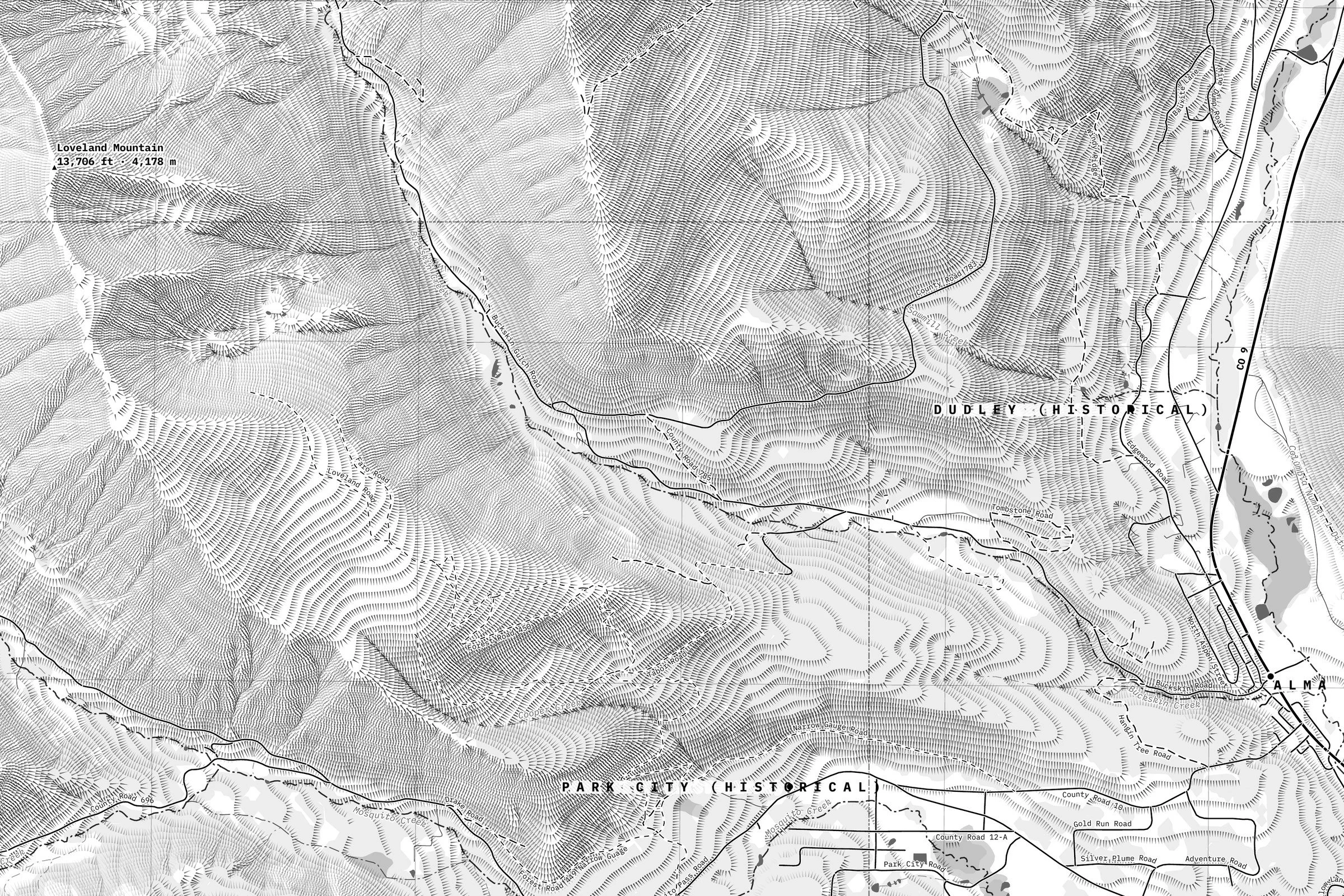
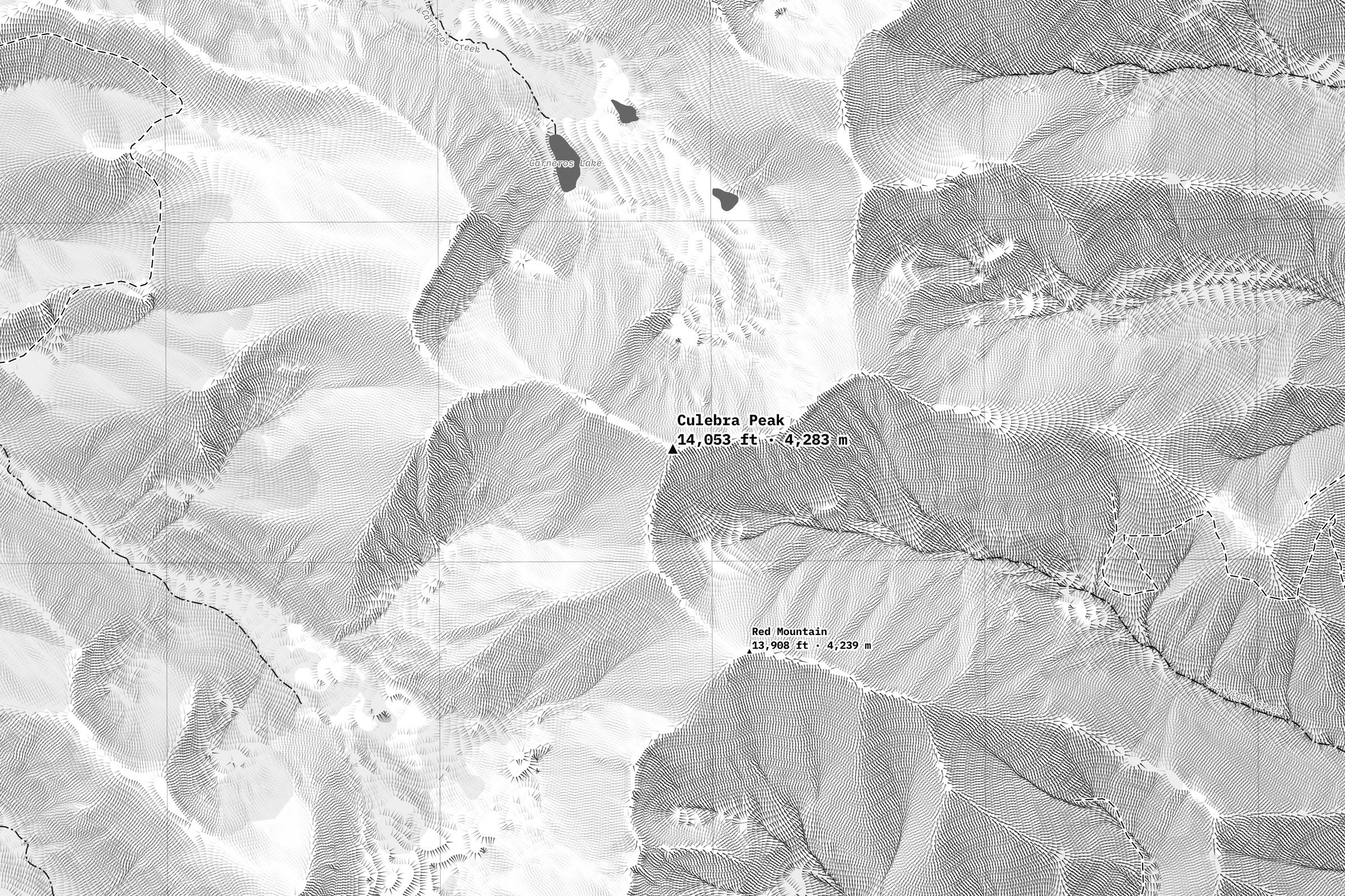
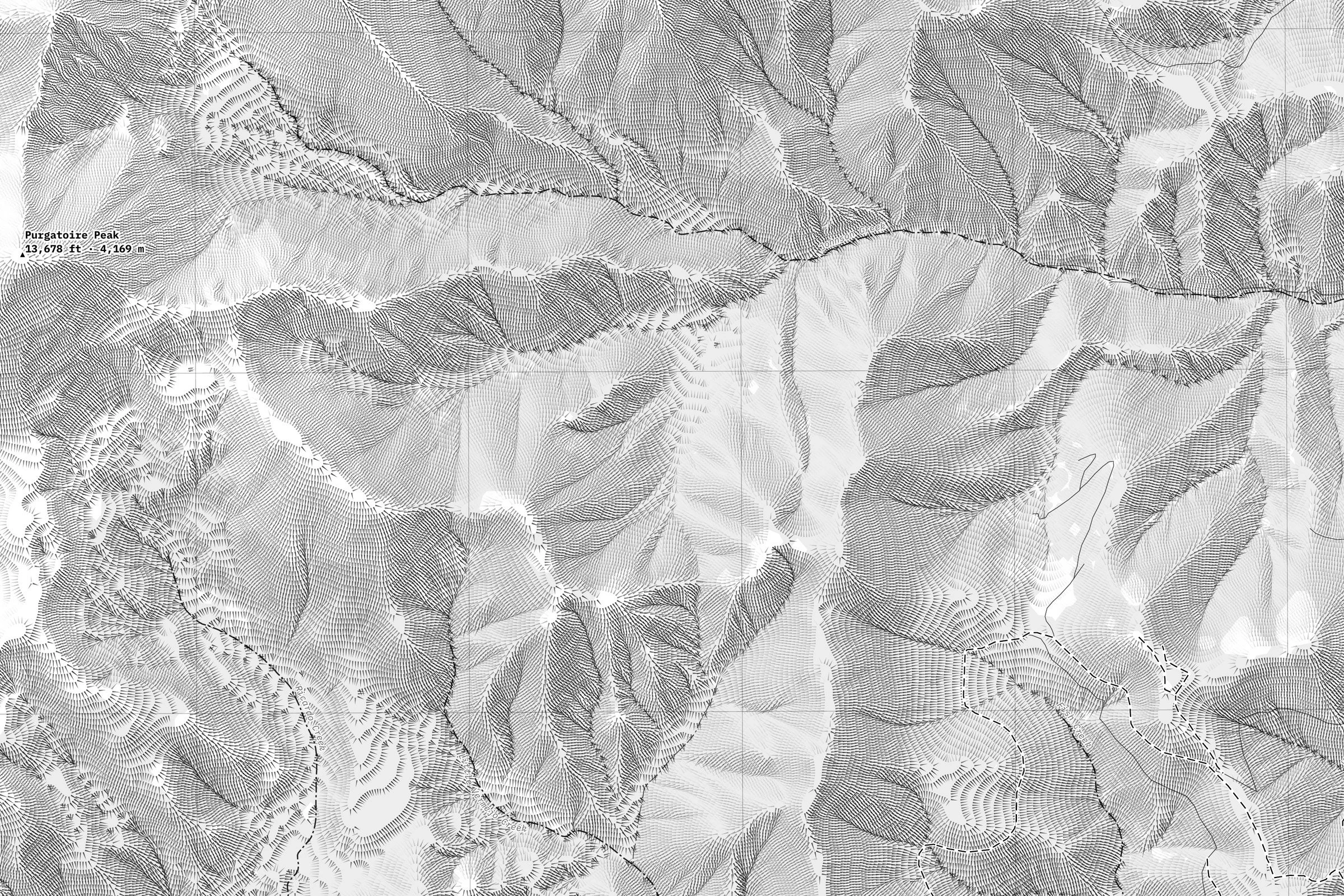
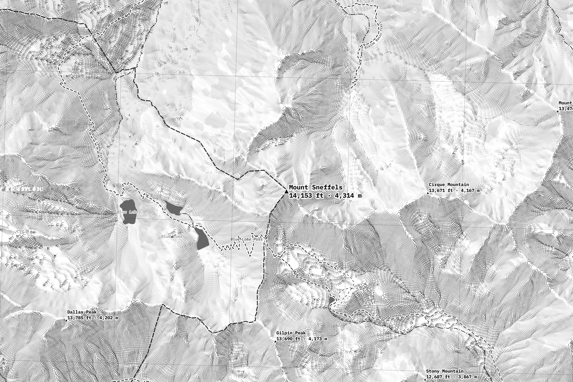
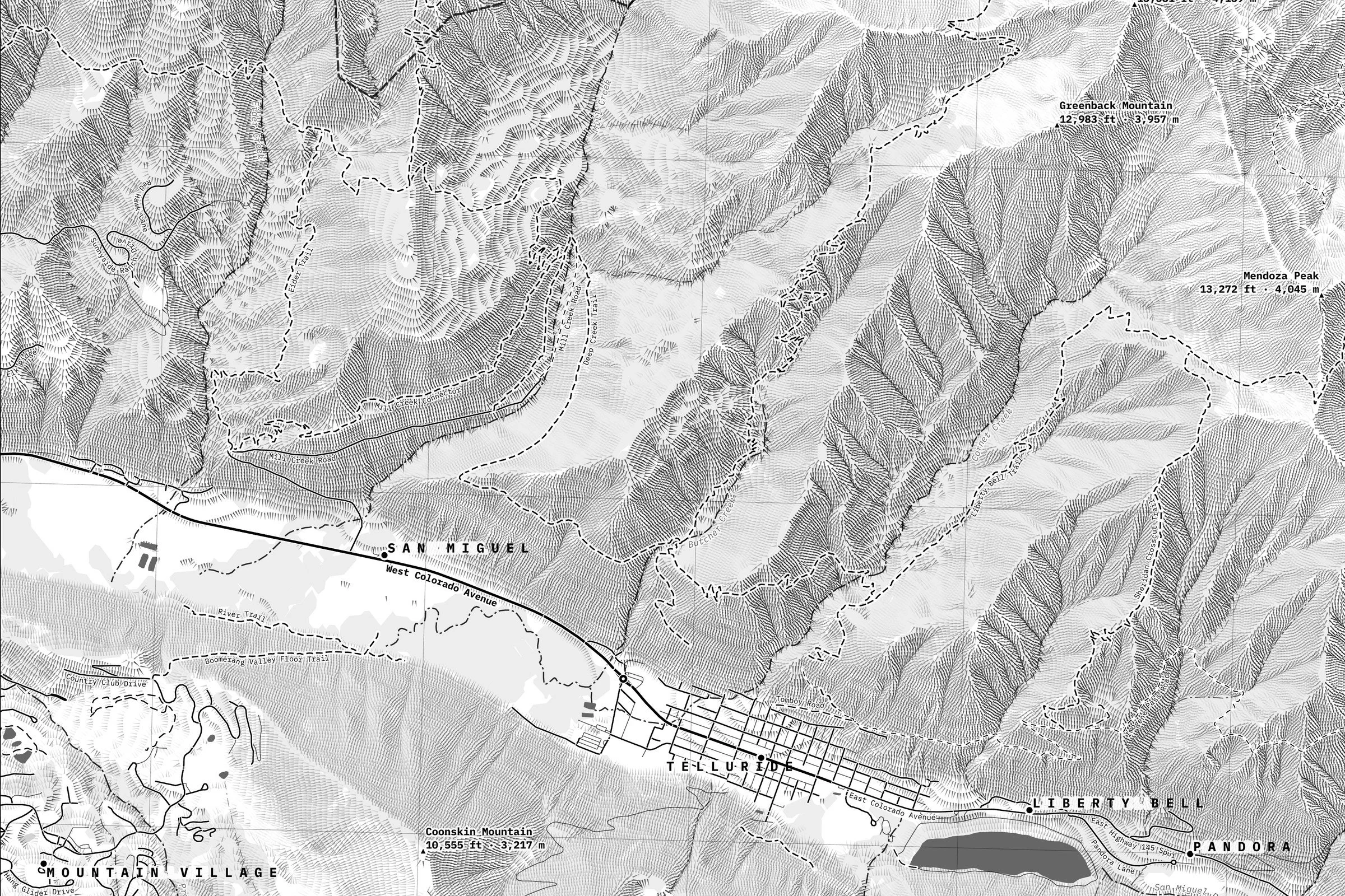
A 1:24,000 hachure map of Mount Sneffels (14,153 ft) in Colorado’s San Juan Mountains. The relief is drawn as thousands of short strokes running down the slope, in black and white, with official trails, 4WD roads, lakes and streams, and land boundaries. A panel gives the summit’s elevation, prominence and rank, the Native lands it sits within, other names where they exist, and a short history.
Relief in hachures after Robin Hawkes, from USGS 3DEP elevation data. One of 31 maps in the Ridgeline Maps Colorado 14ers Hachures series, covering all 58 peaks. Printed on fine art hot press paper. Unframed. From Ridgeline Maps.