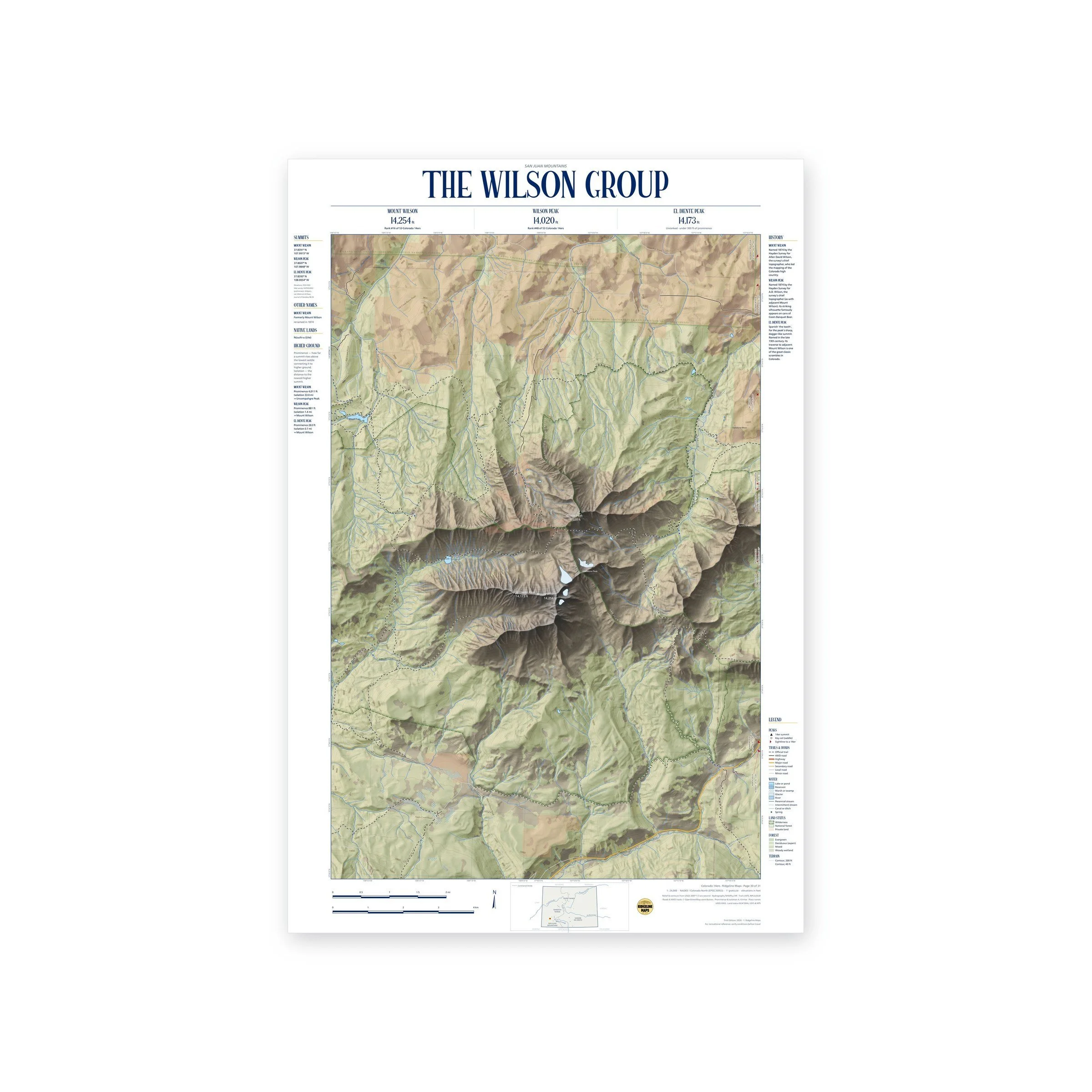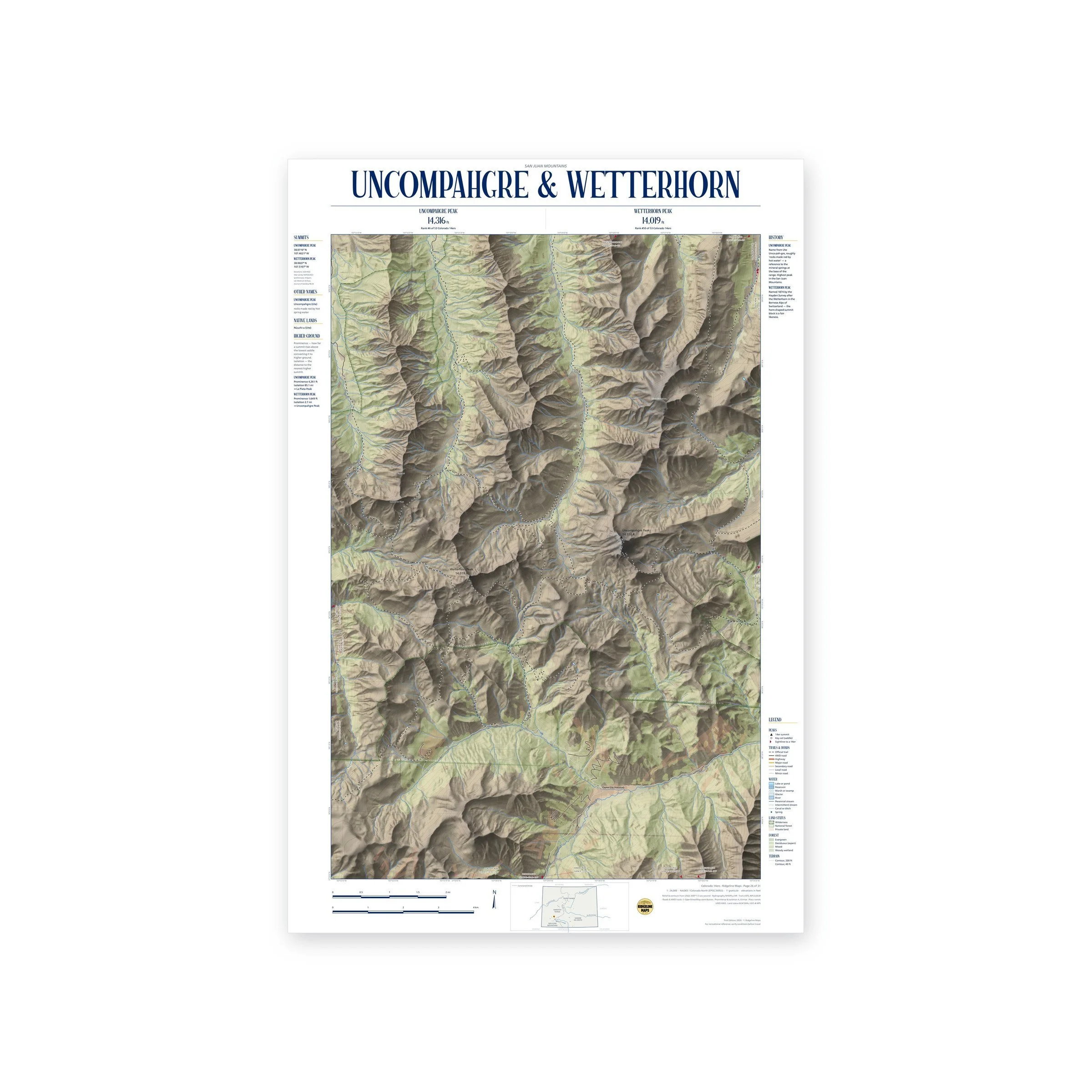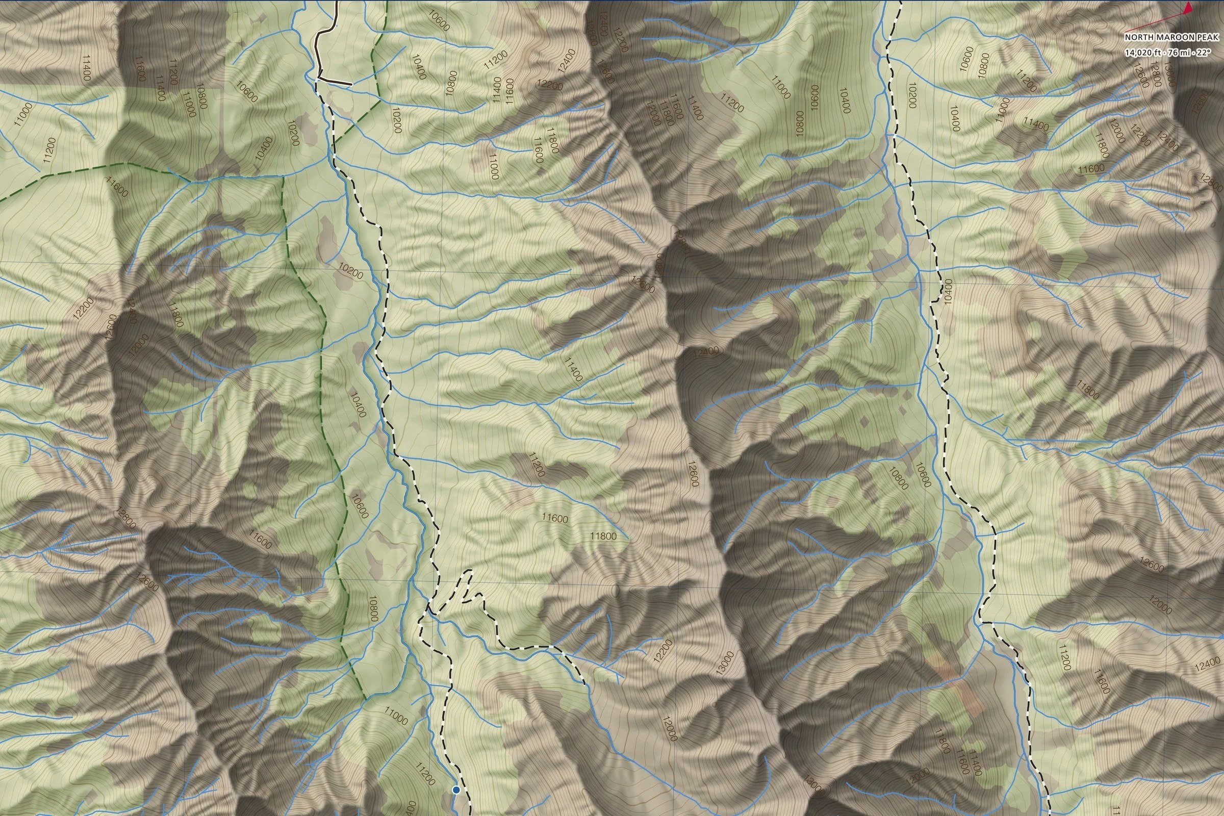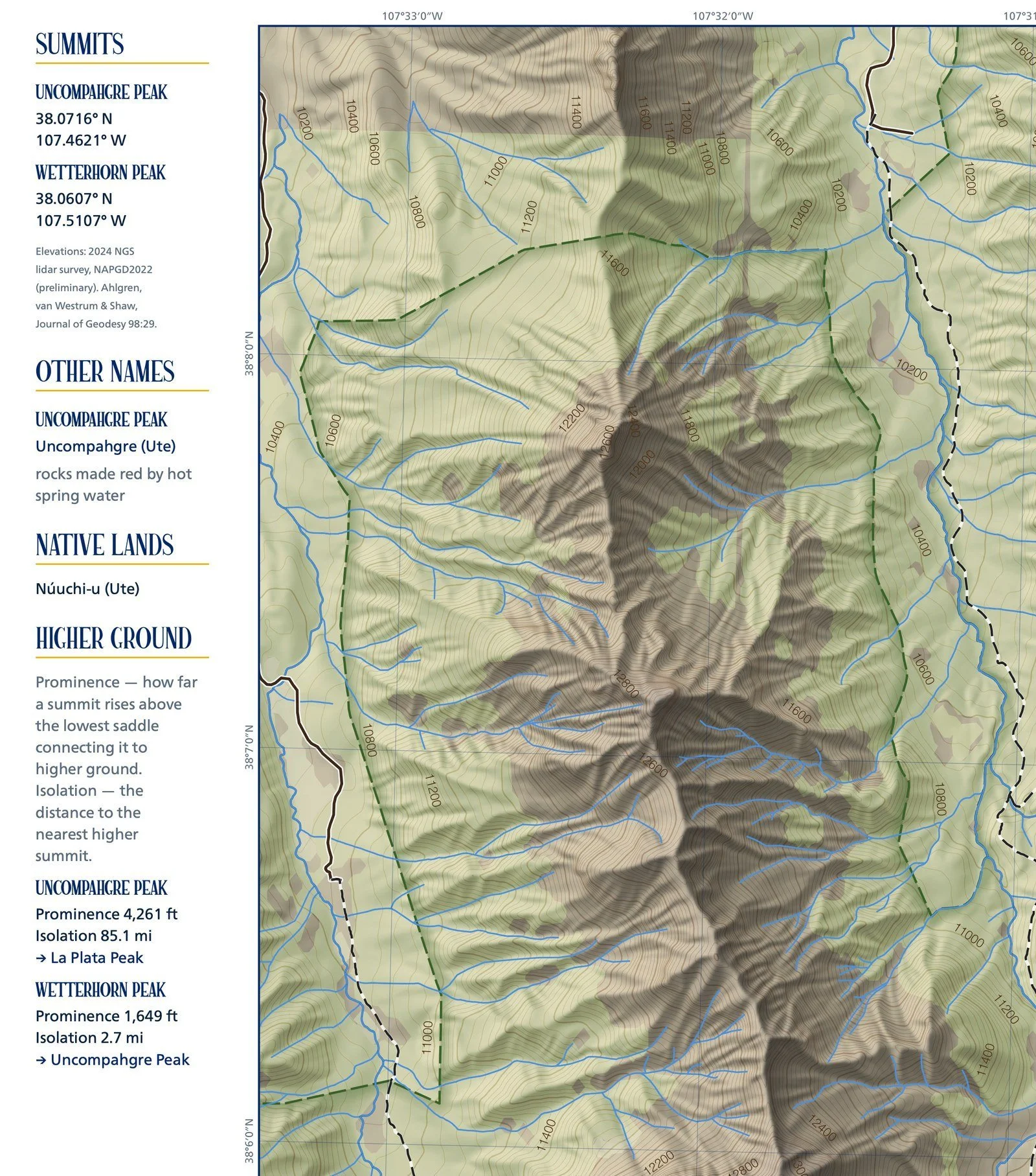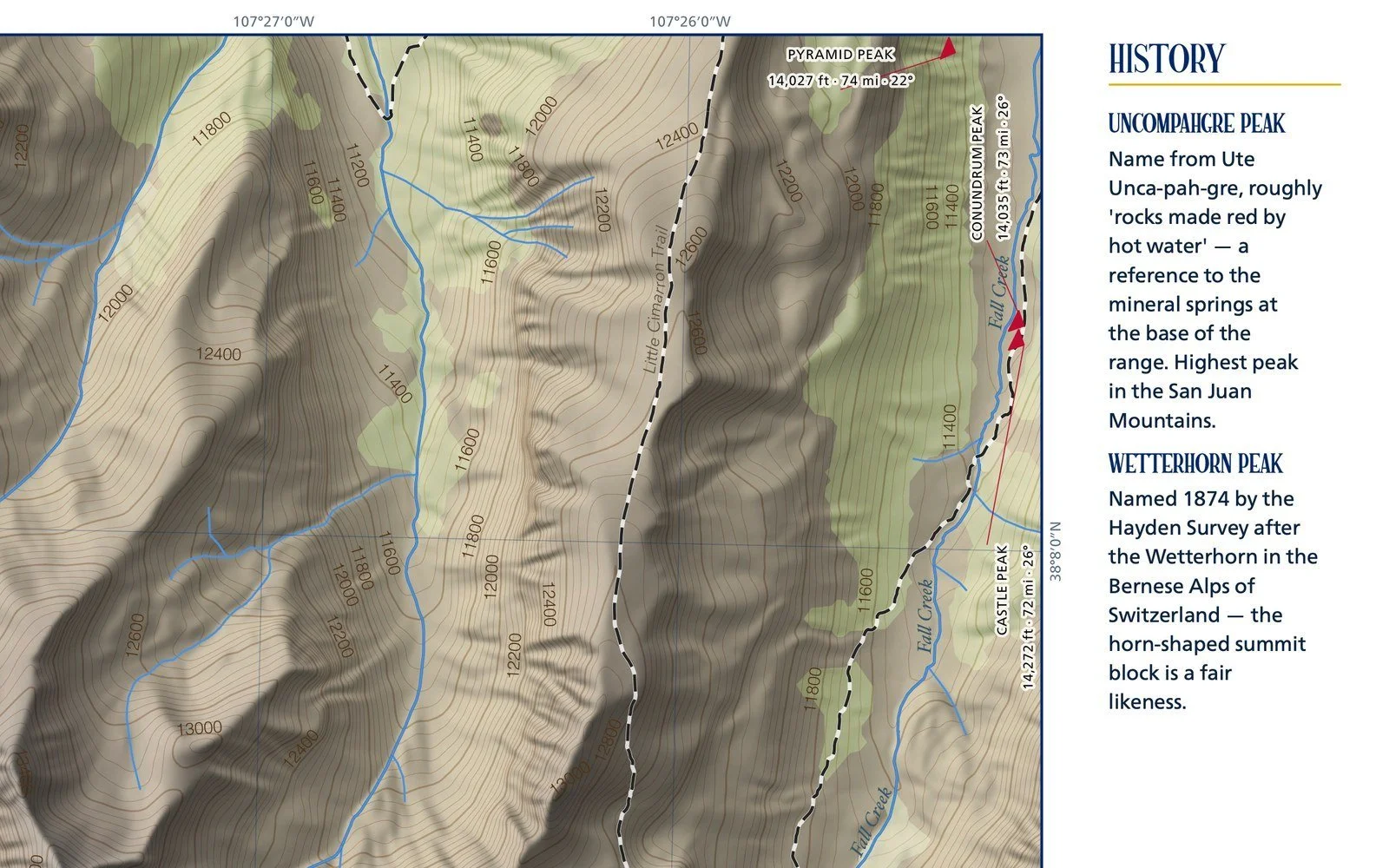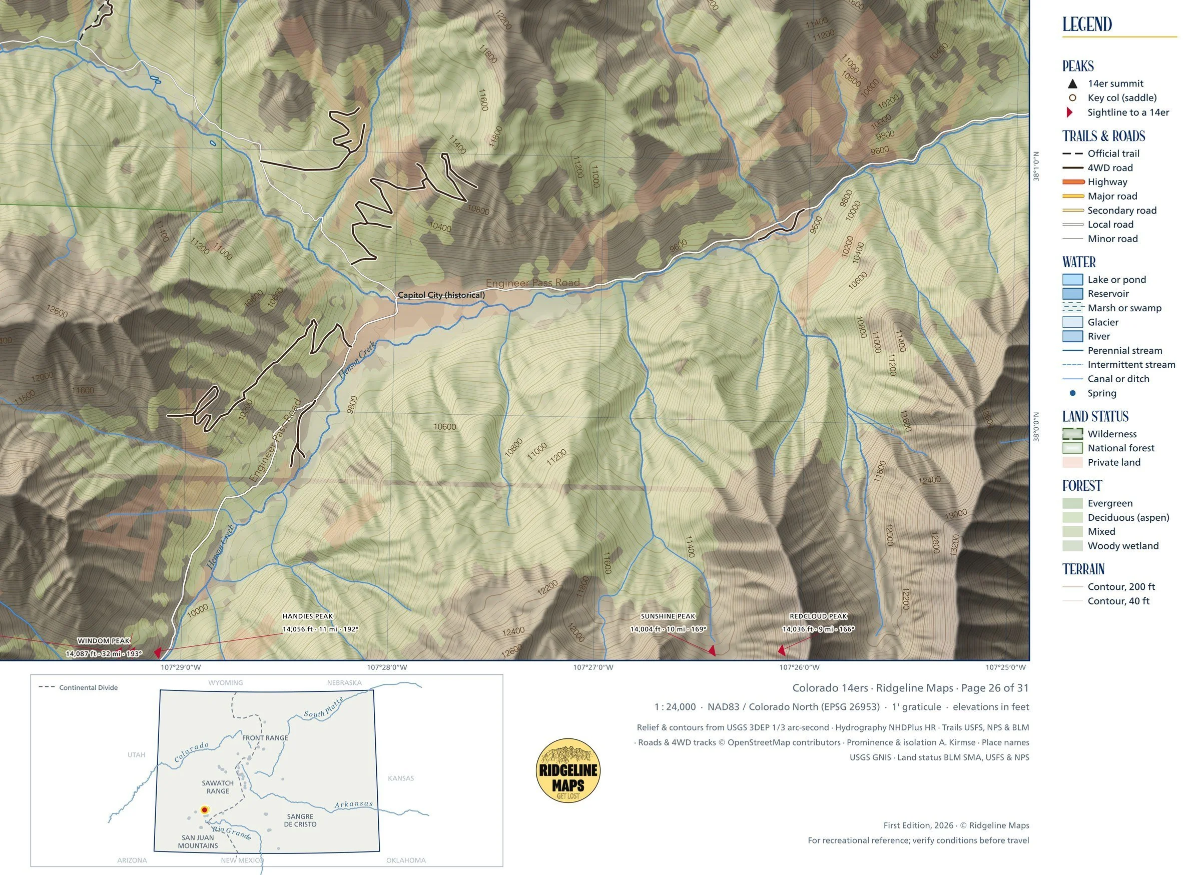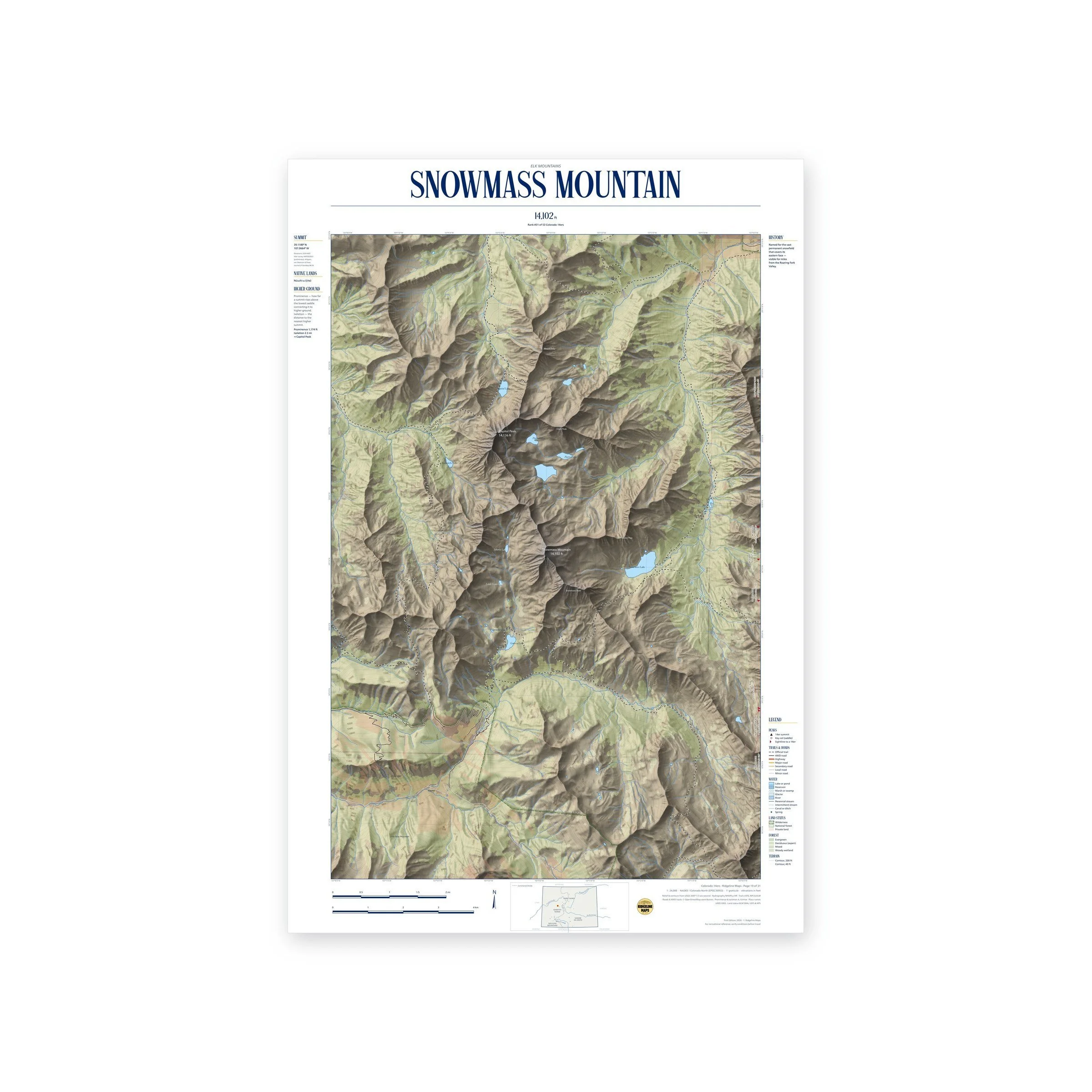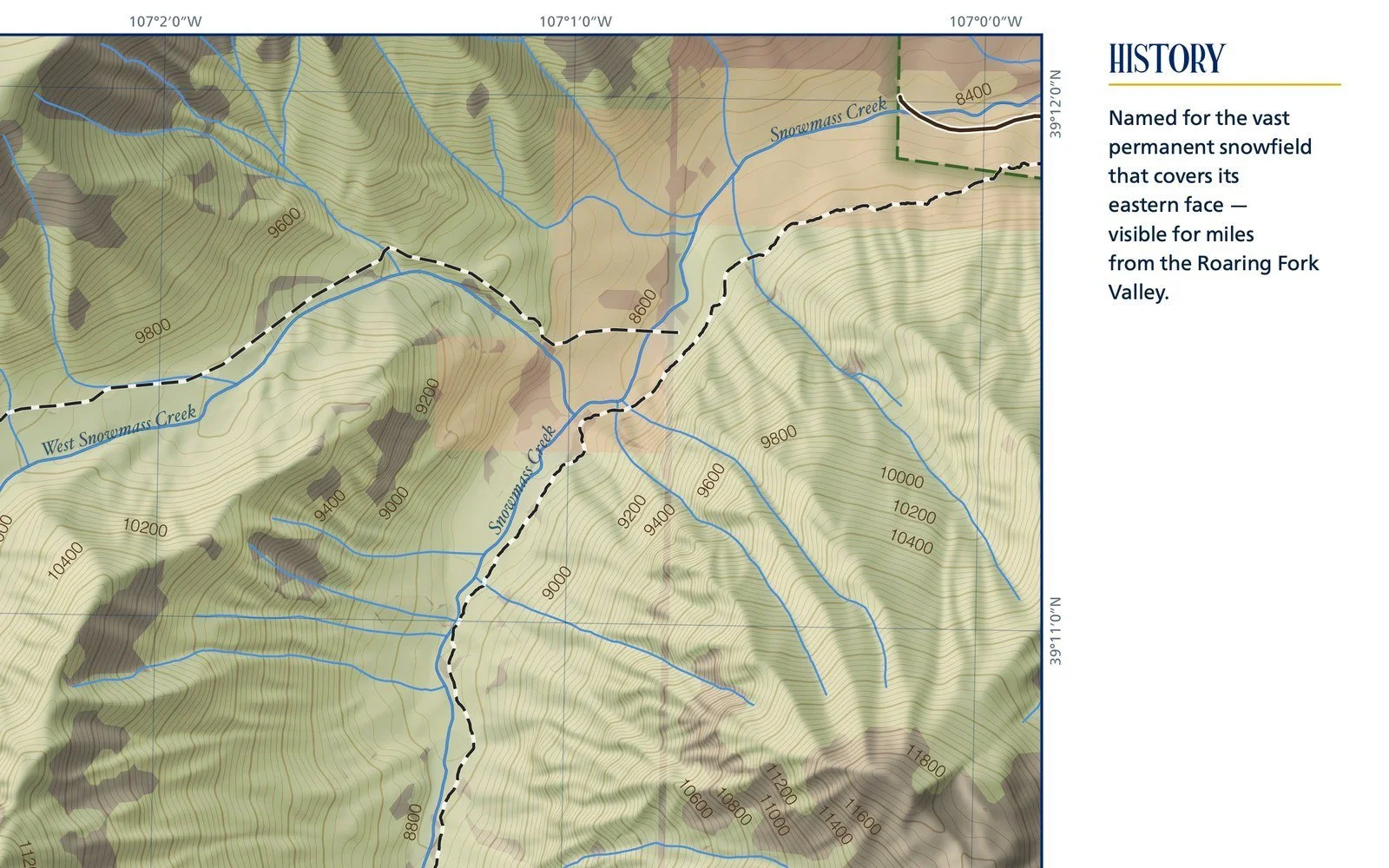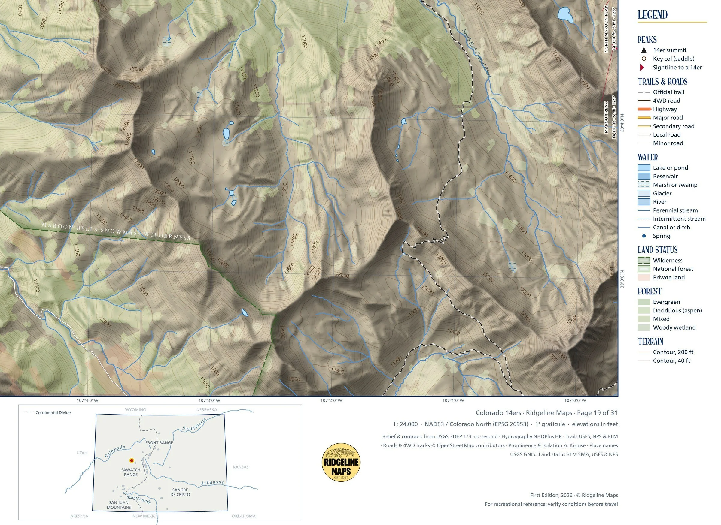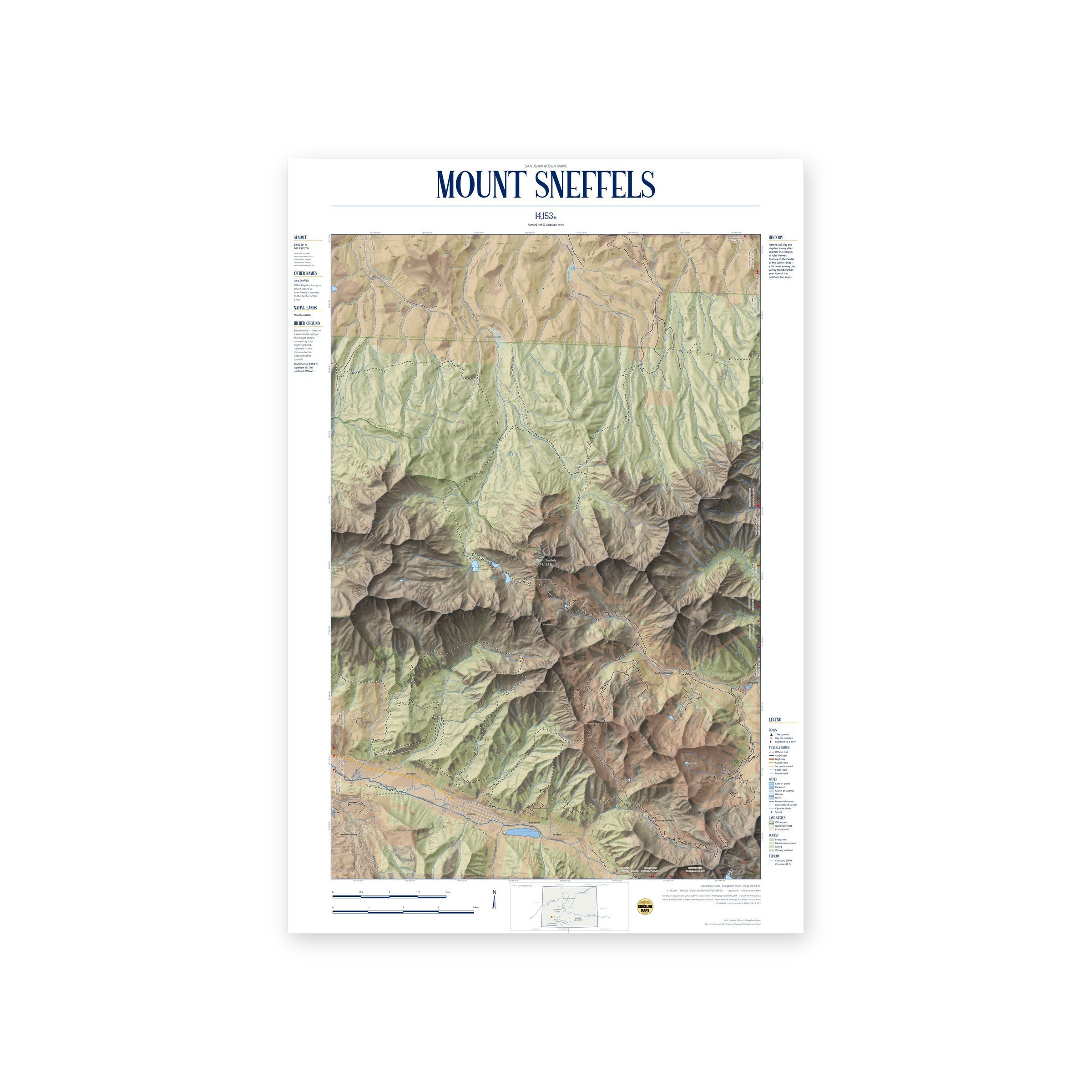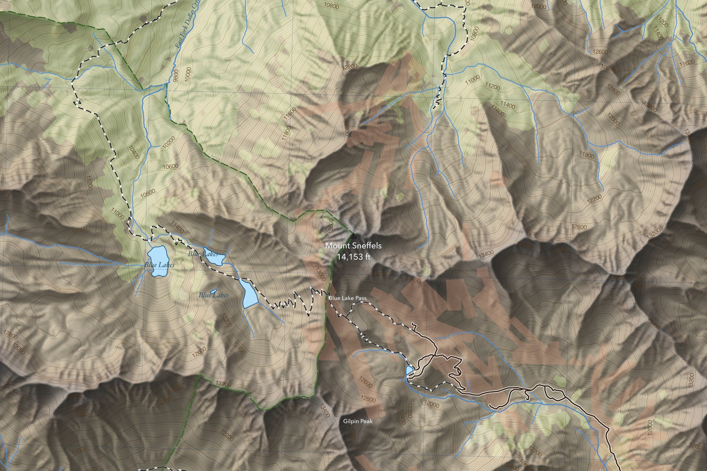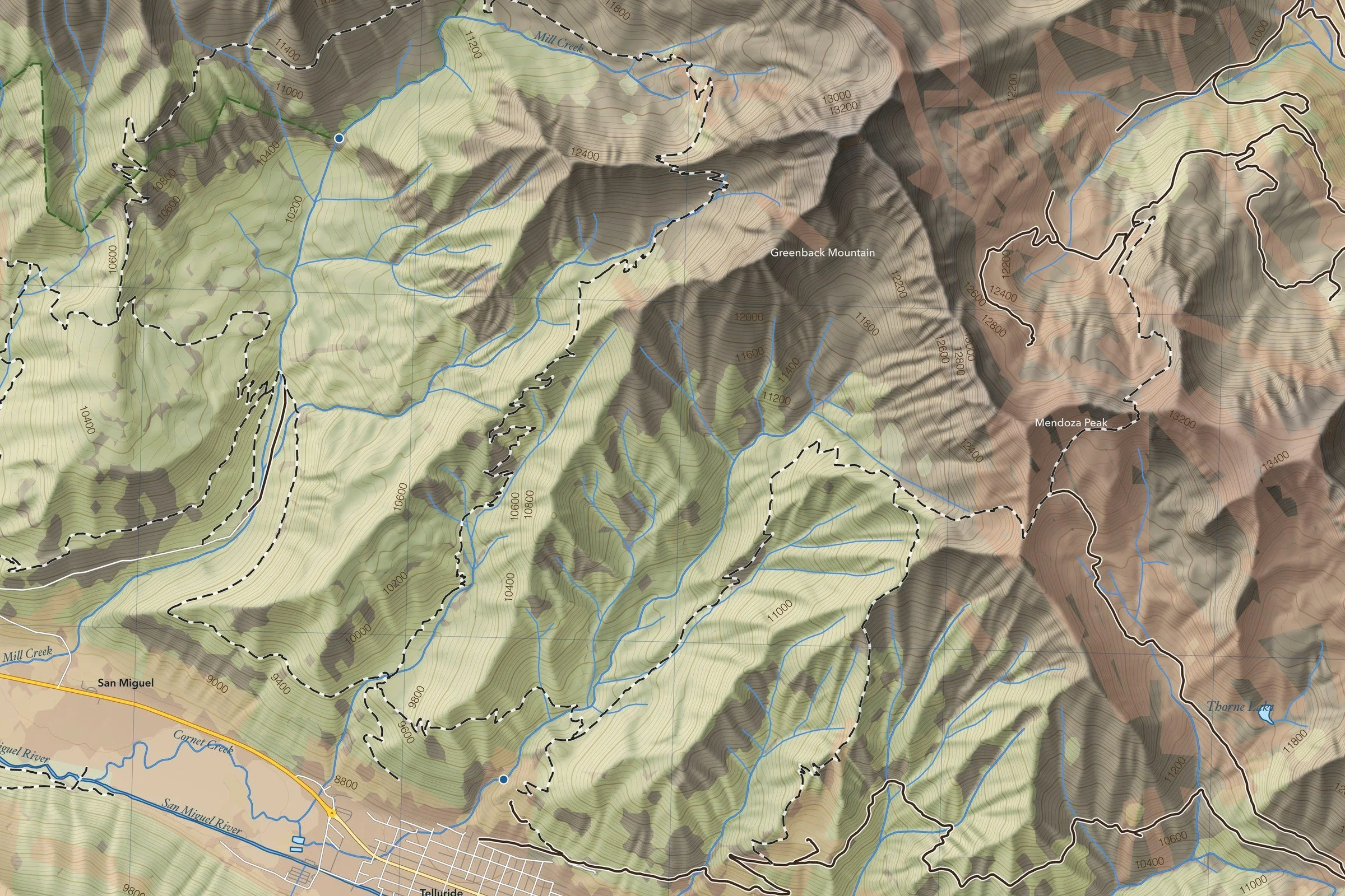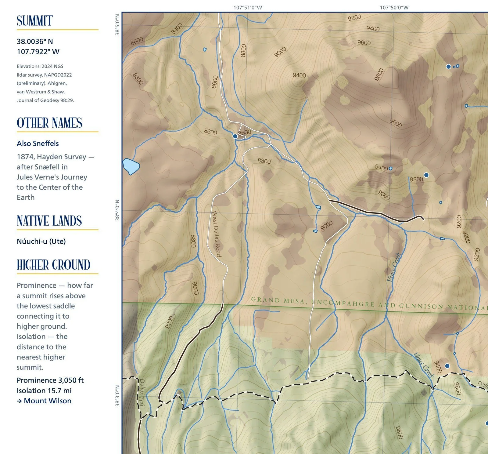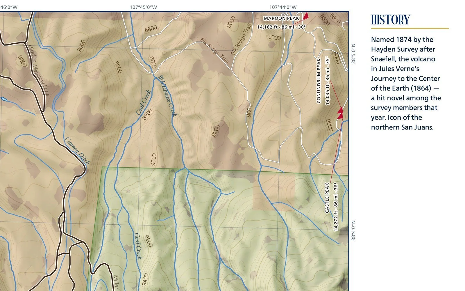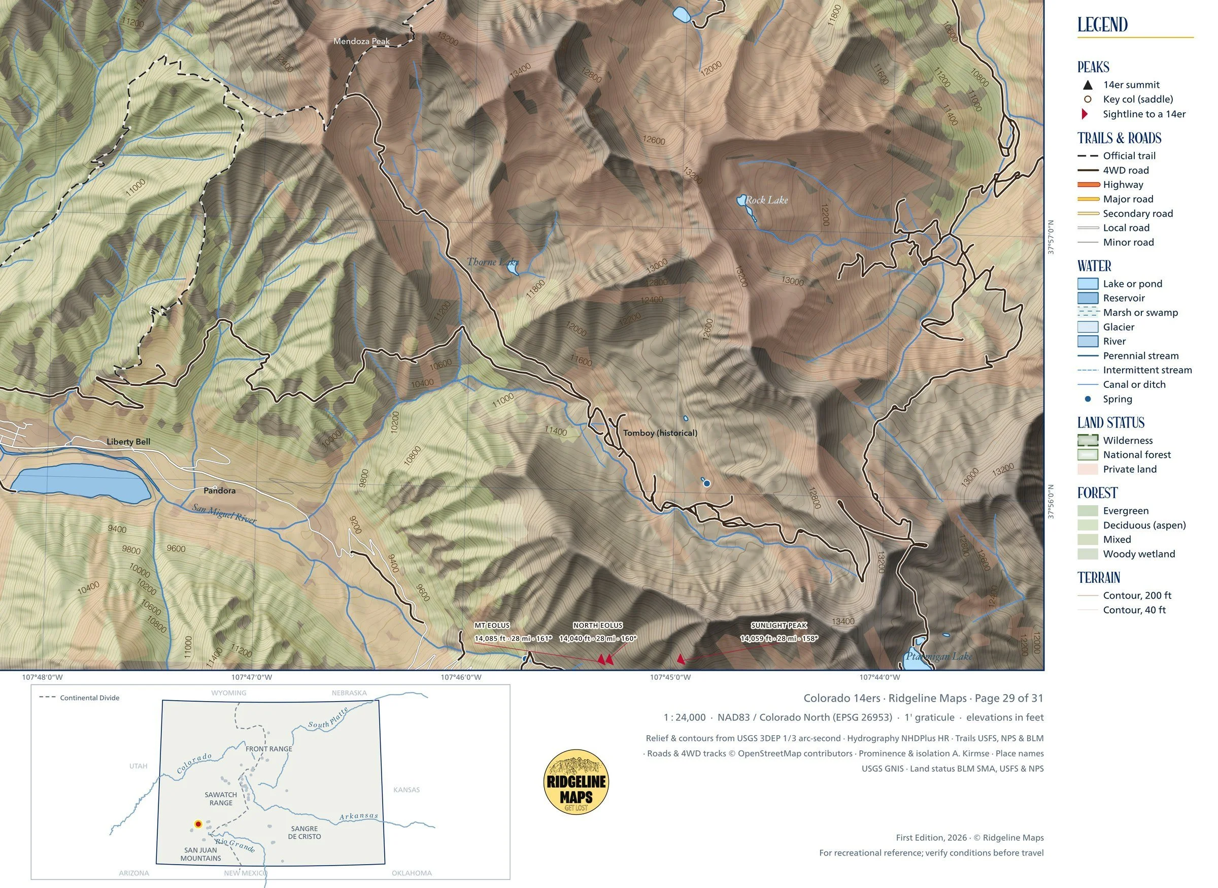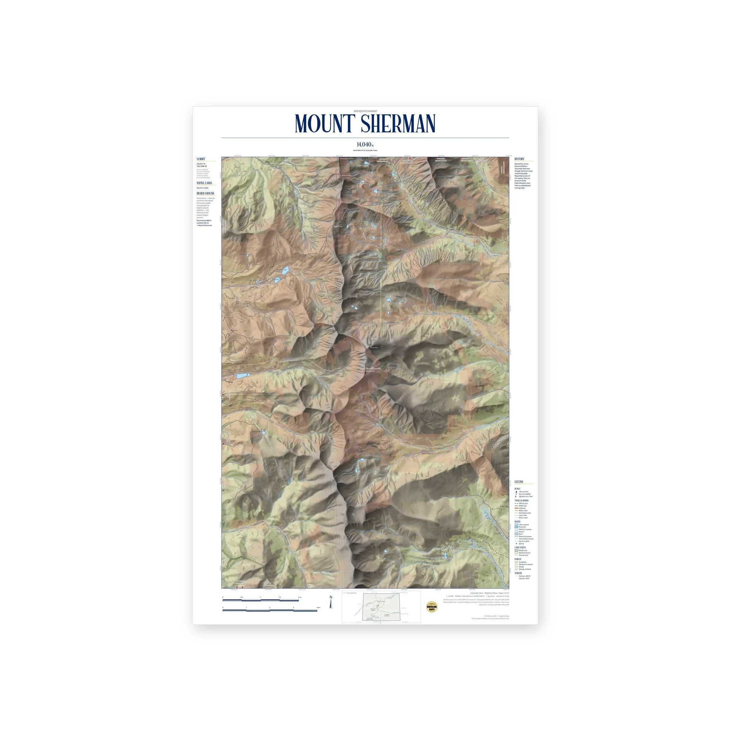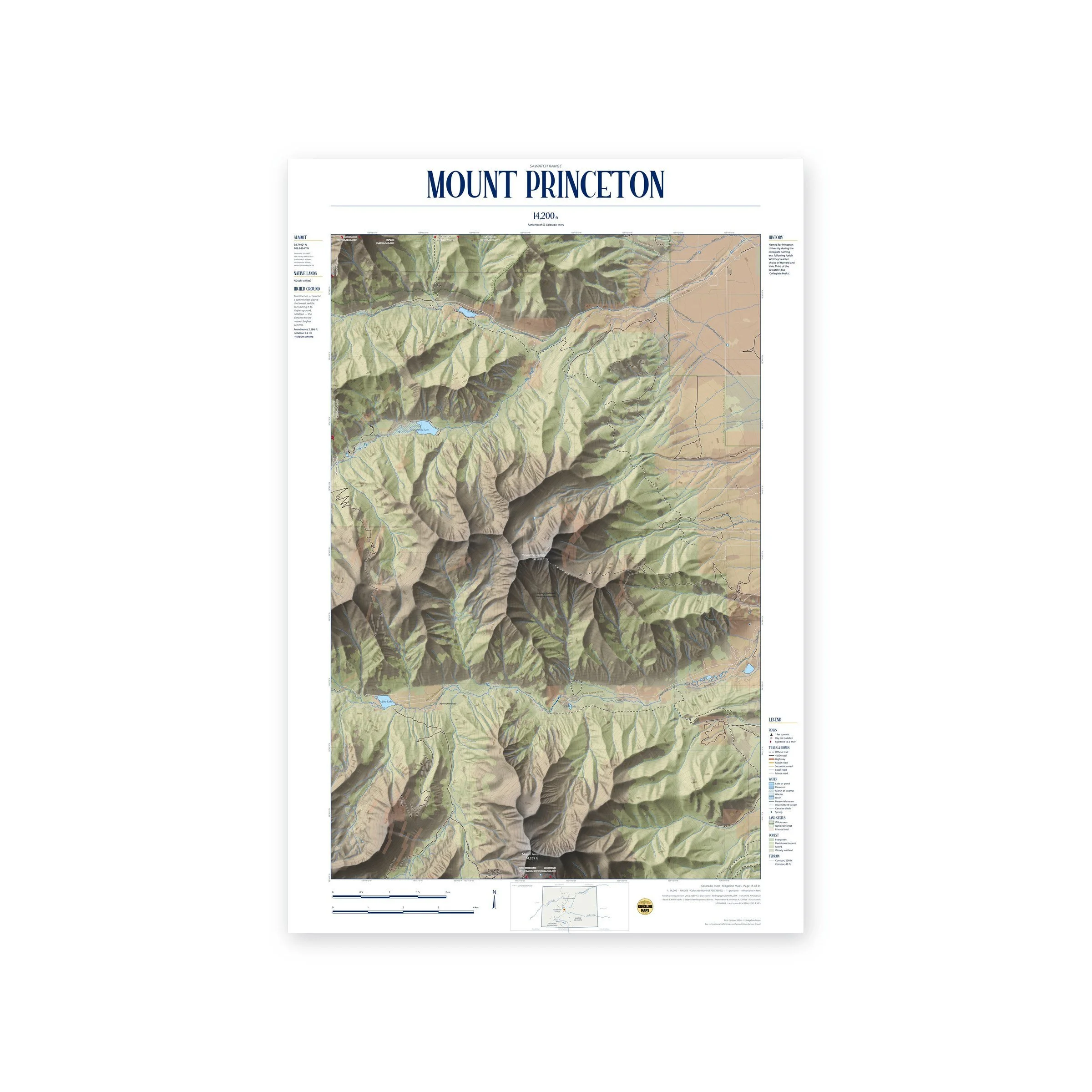
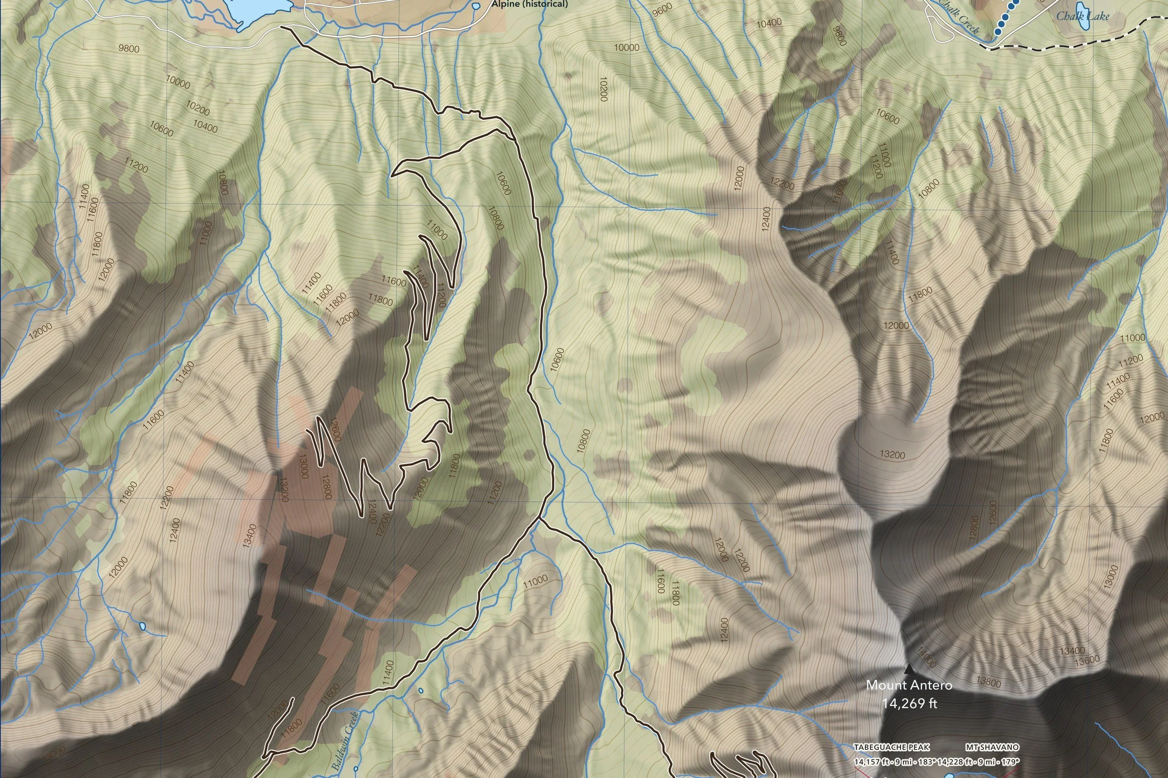
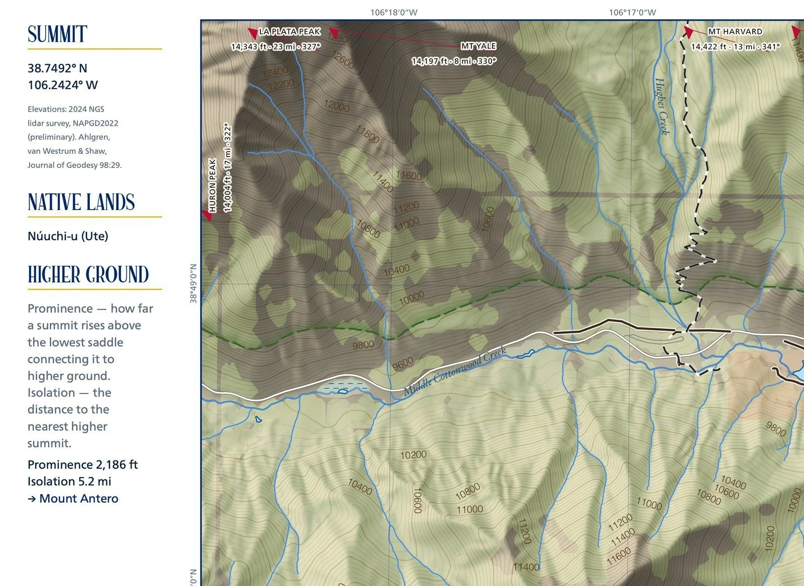
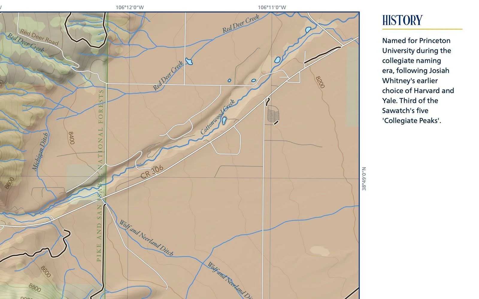
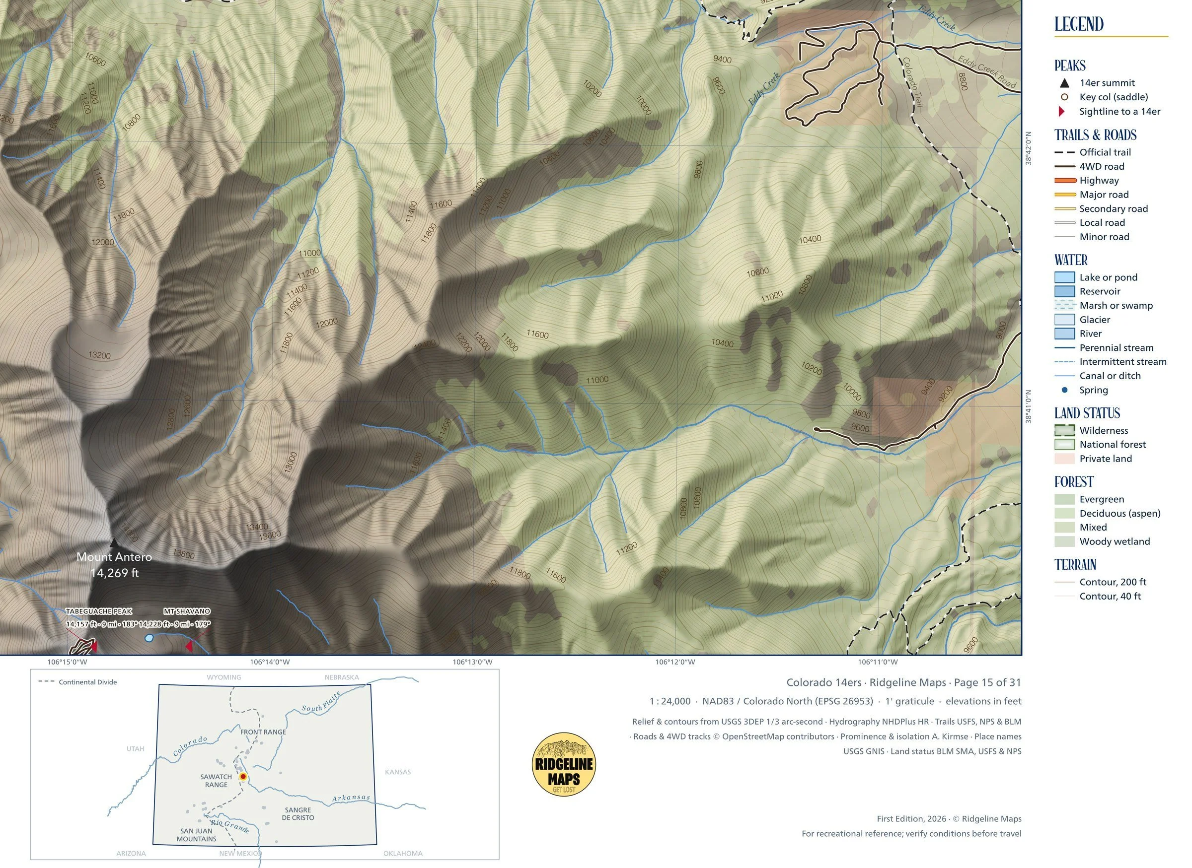
GeoPDF download of the Mount Princeton map: the same 1:24,000 topographic map as the 24 × 36-inch print, georeferenced so a GPS map app on your phone or tablet can show where you are on it, with no cell signal needed.
Open it in any map app that reads GeoPDF files. After checkout you’ll get an email with a secure download link (the file is about 40 MB); the link expires 24 hours after your first download. Digital file only; nothing is shipped.
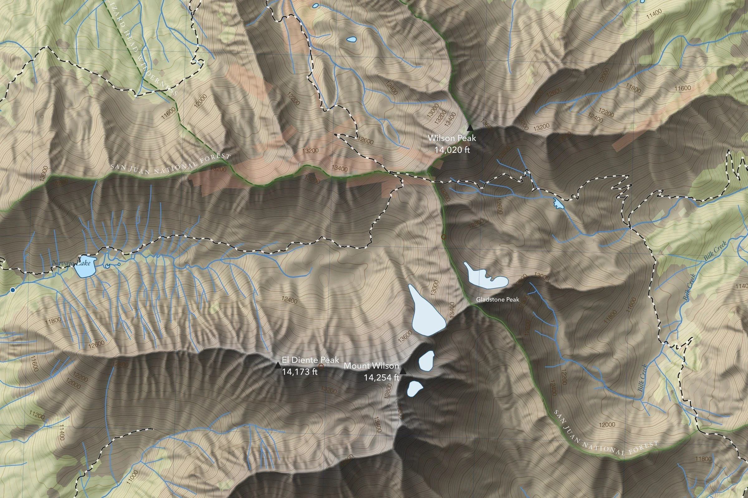
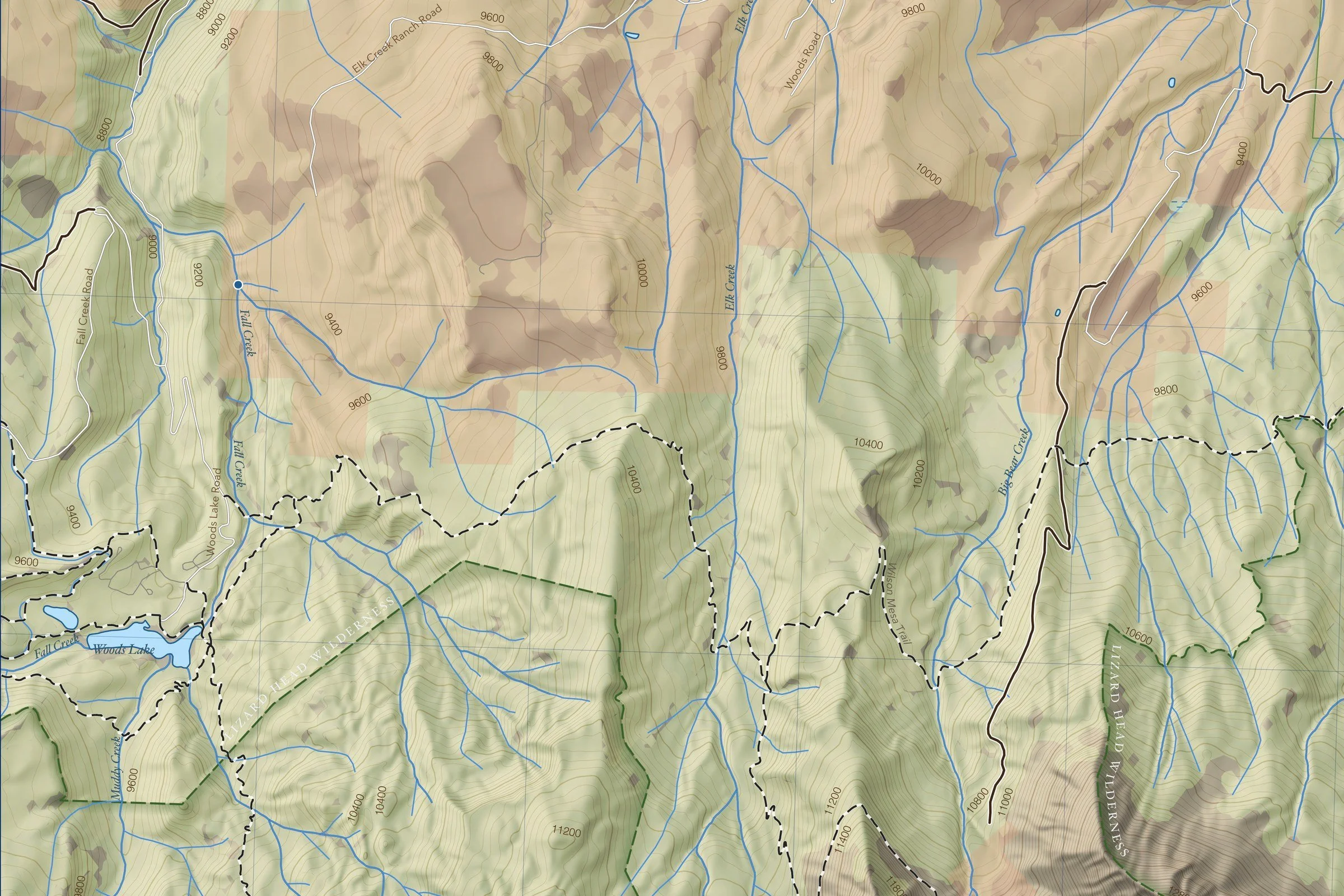
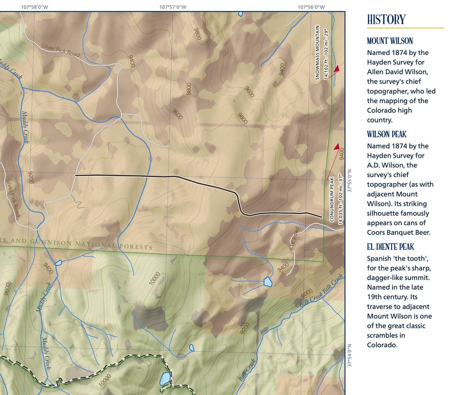
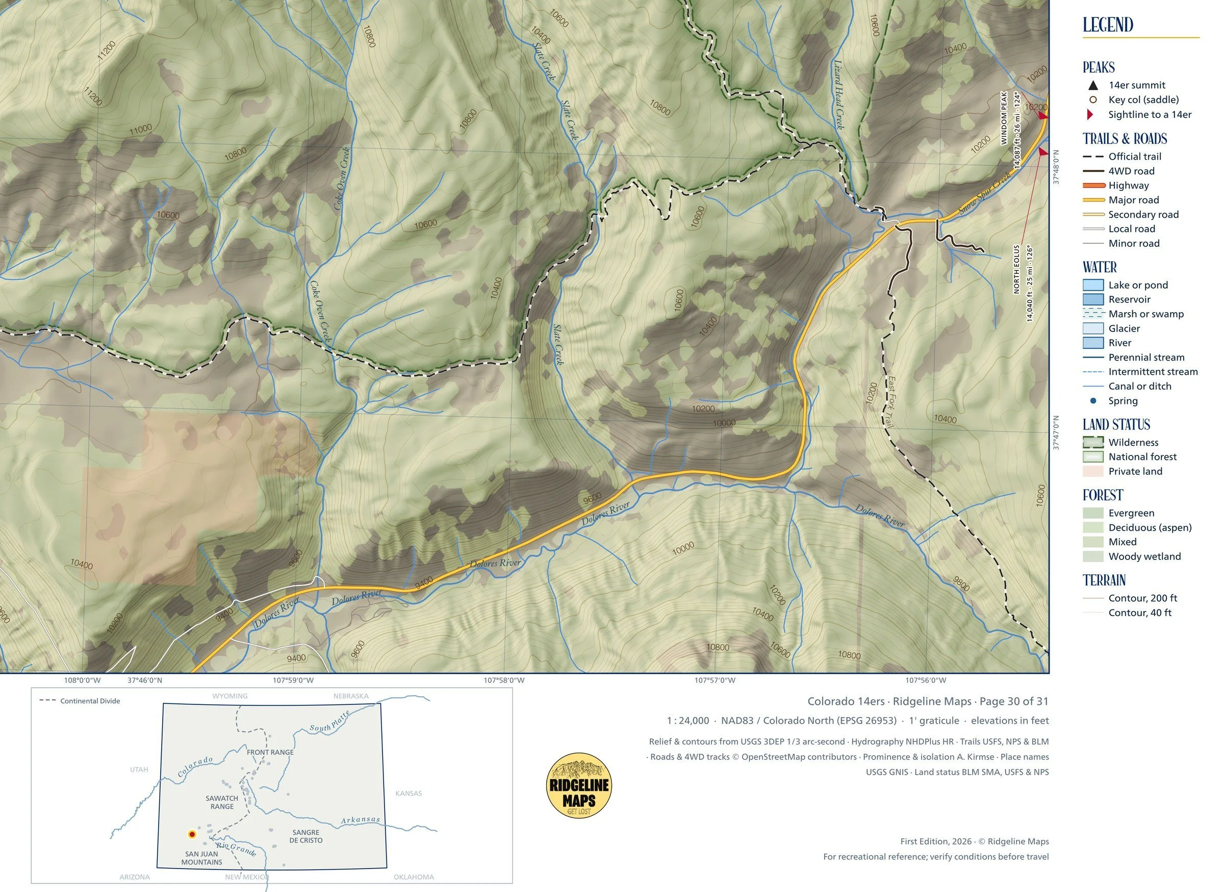
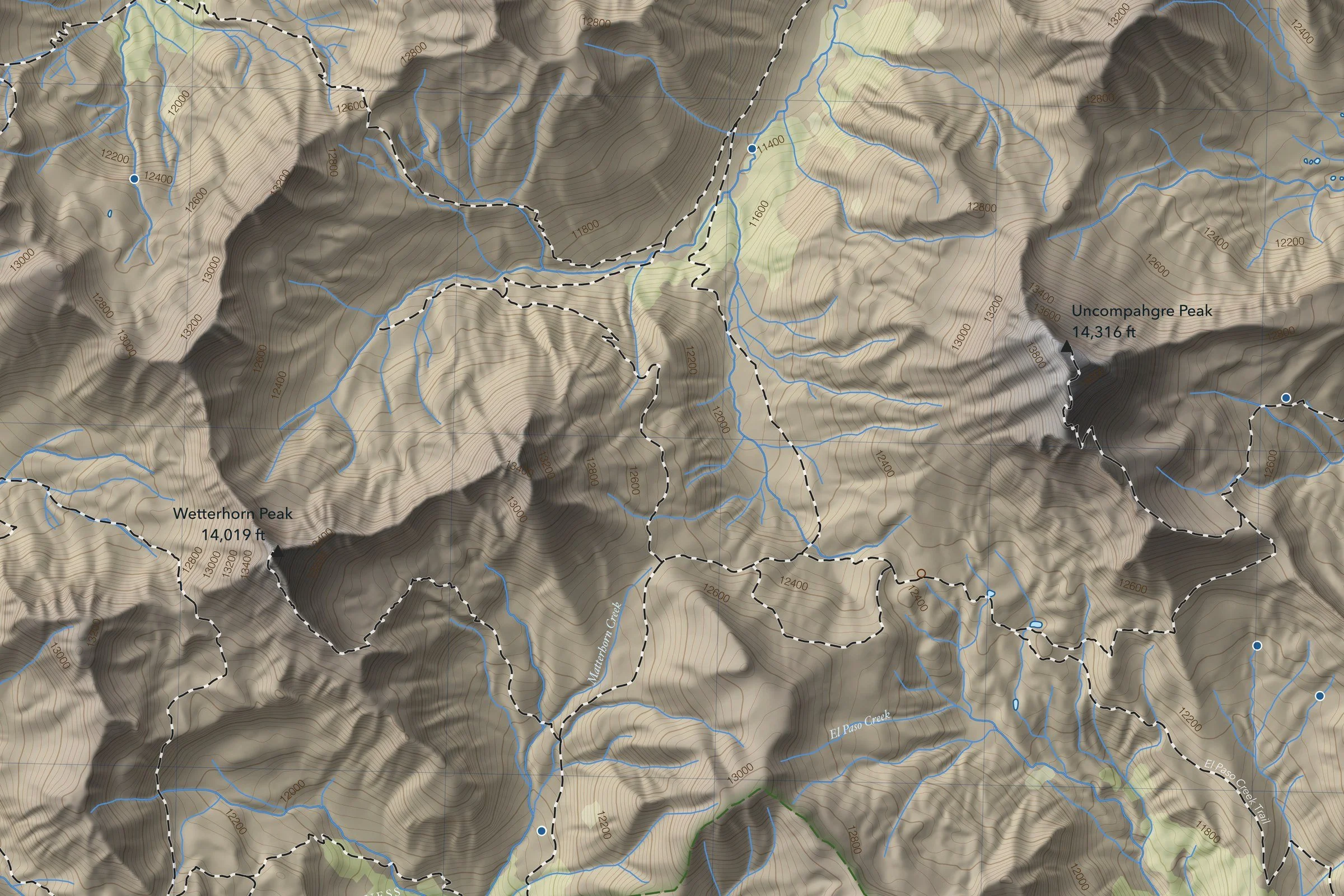
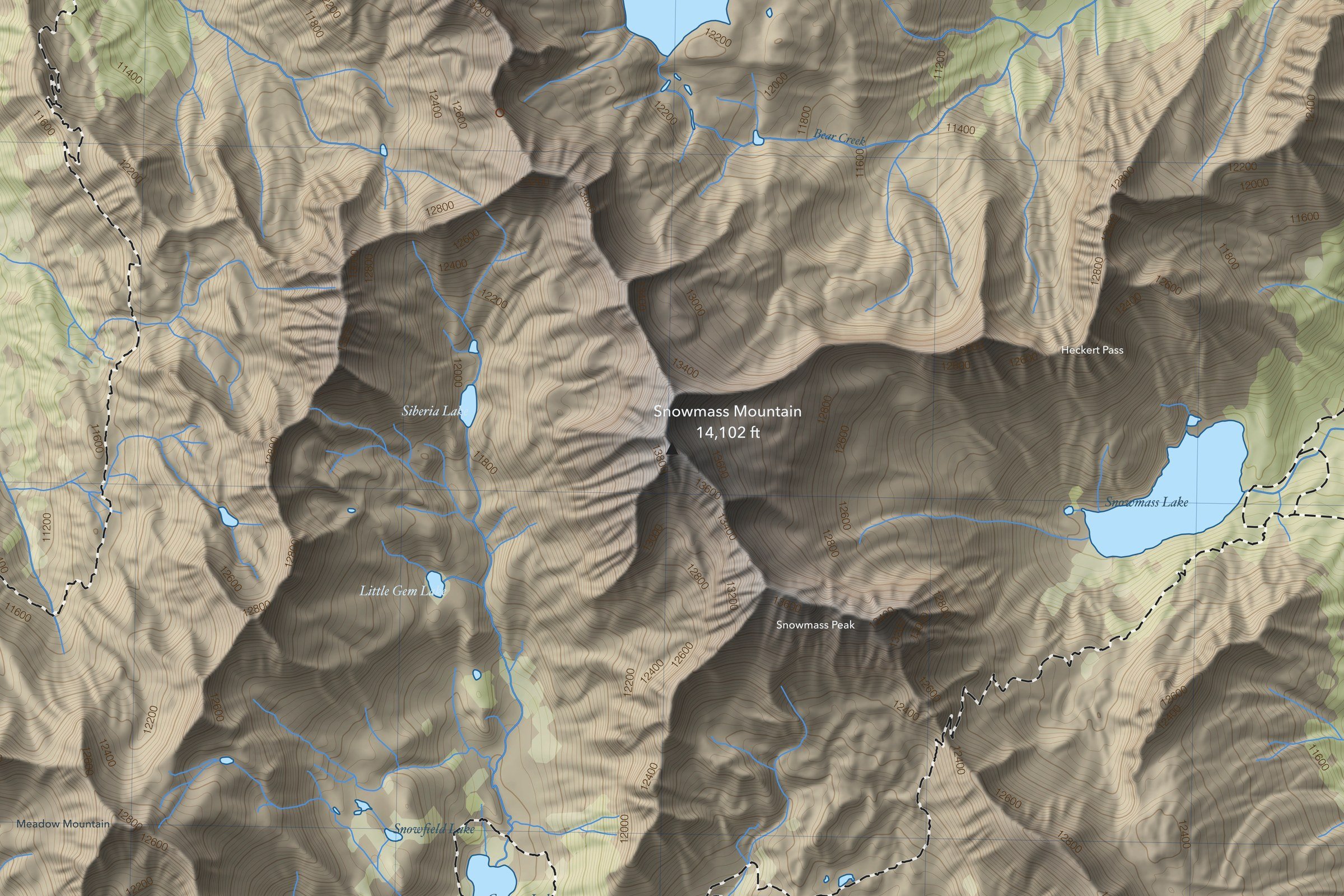
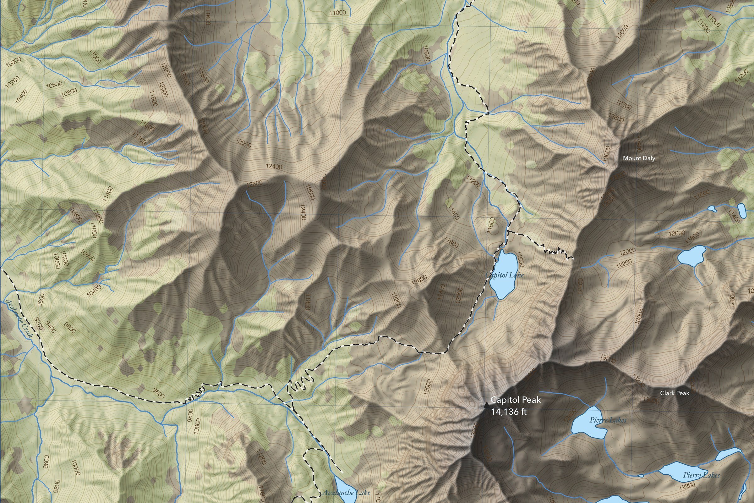
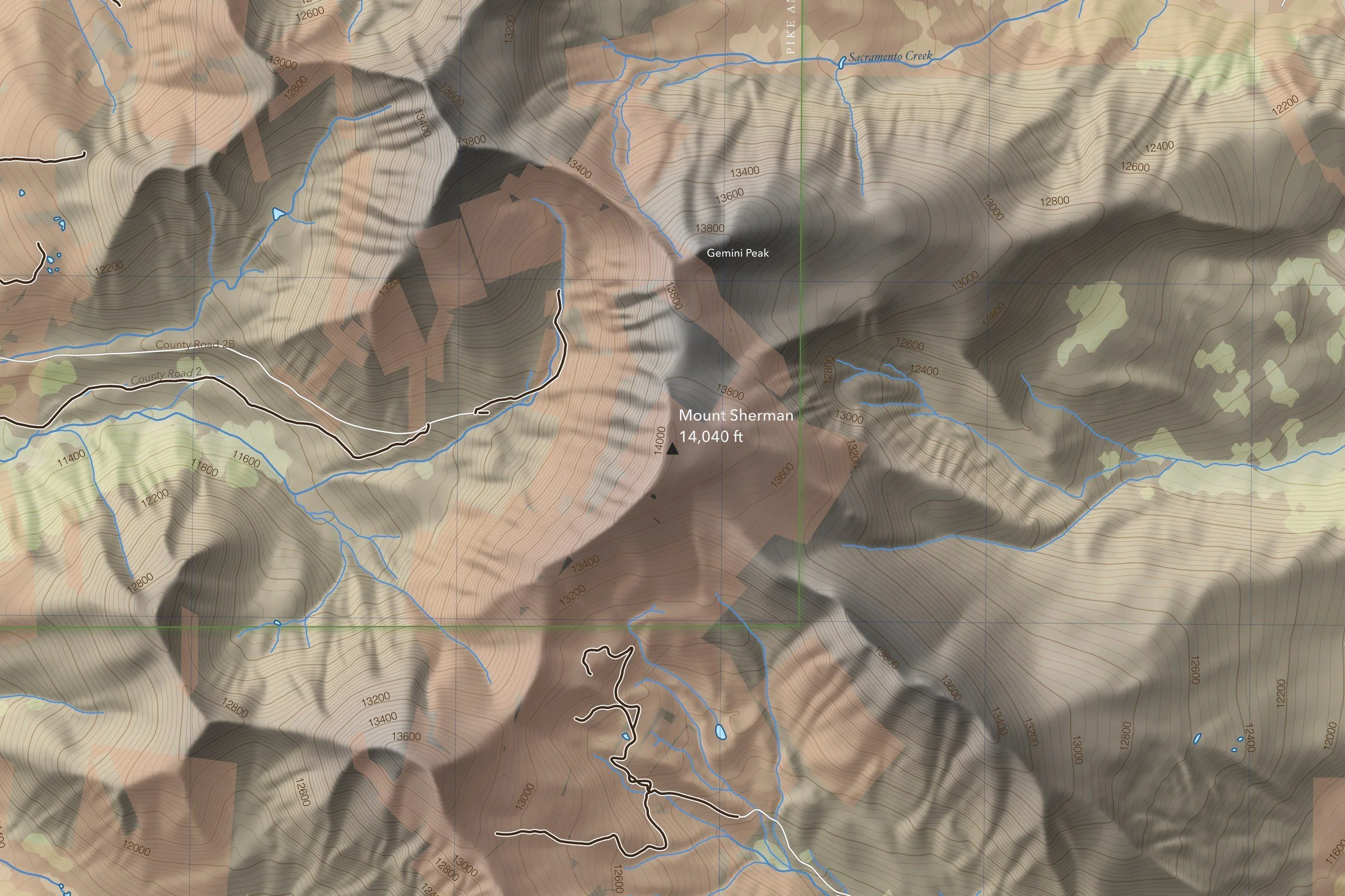
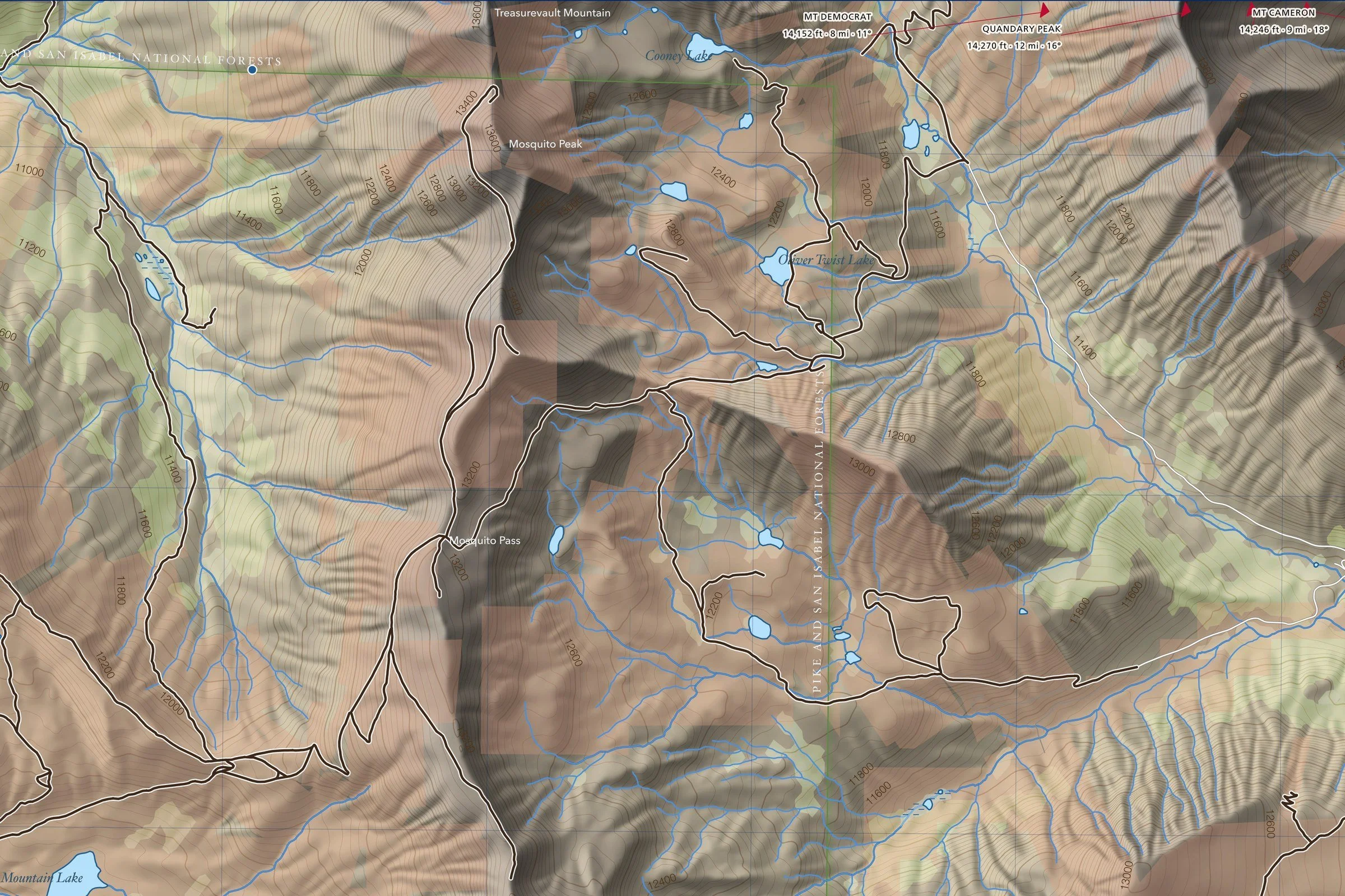
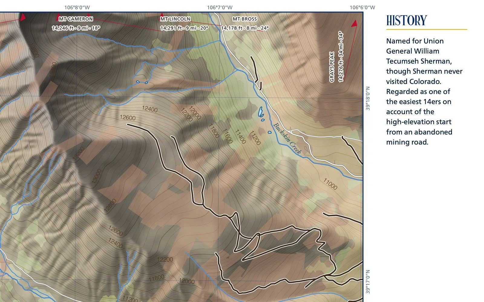
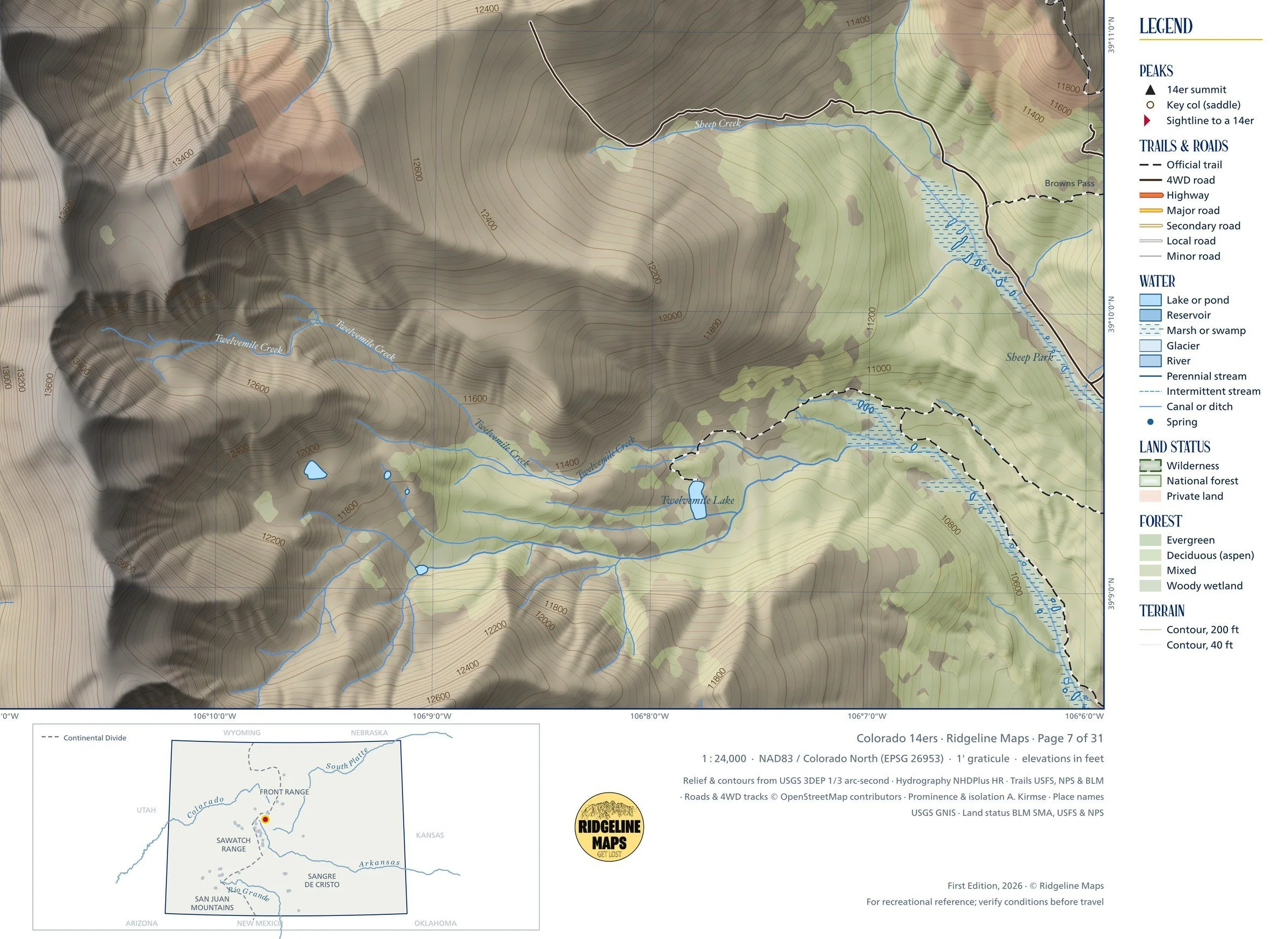
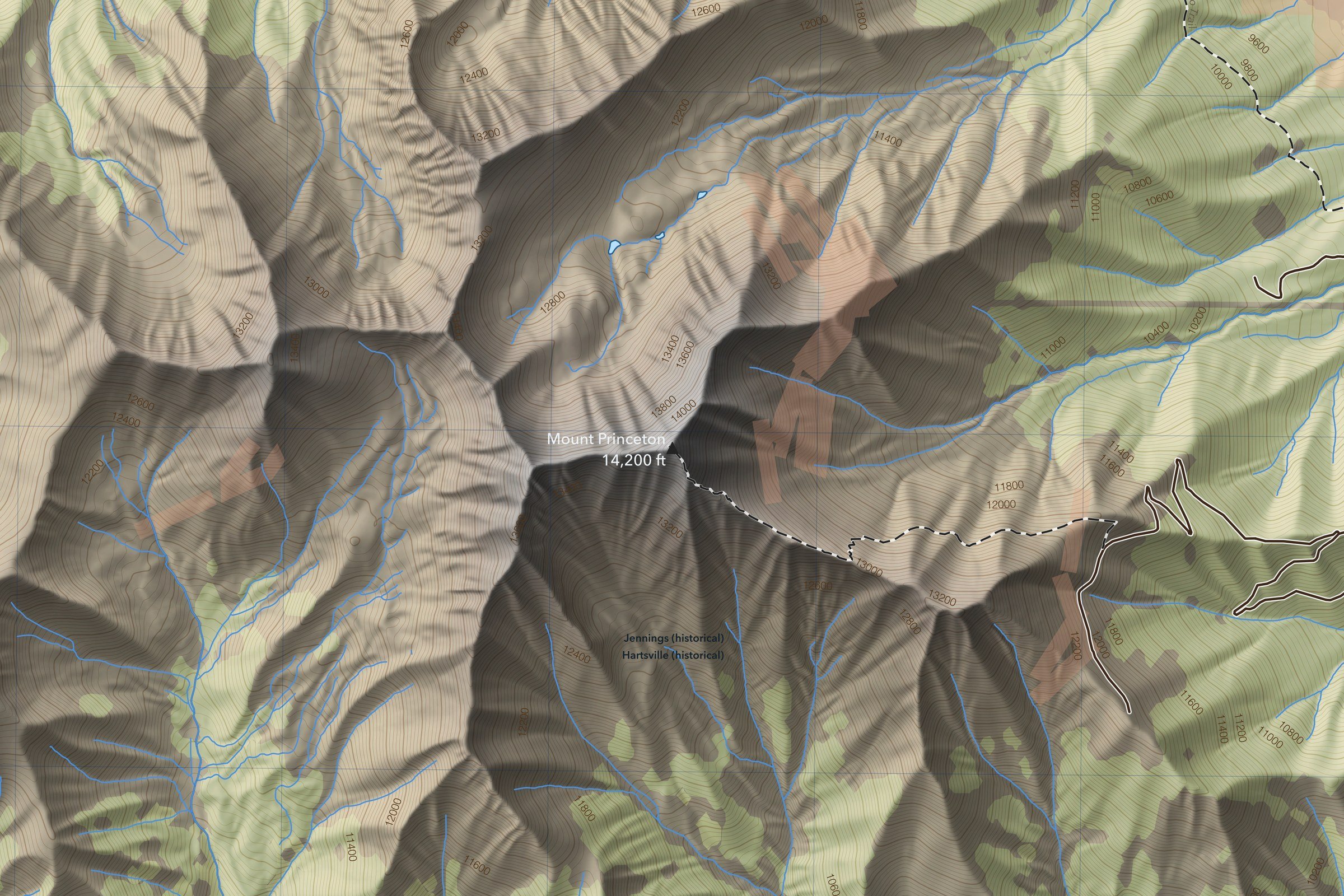
A 1:24,000 topographic map of Mount Princeton (14,200 ft) in Colorado’s Sawatch Range. Shaded relief with 200-foot and 40-foot contours from USGS lidar elevation data, with official trails, 4WD roads, lakes and streams, forest cover, and wilderness, national forest and private land boundaries. Sightline markers along the edges point toward other 14ers, with each one’s distance and bearing.
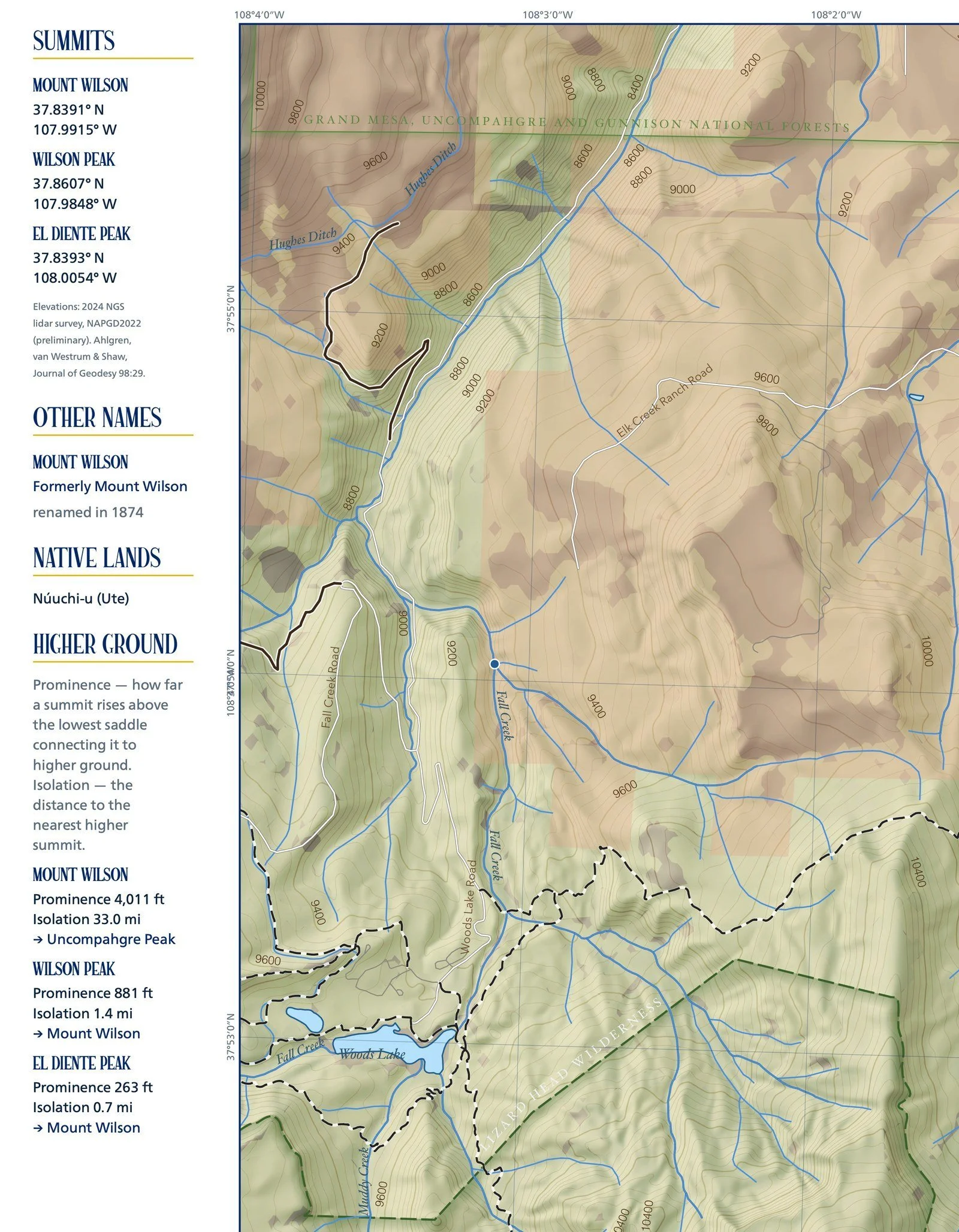
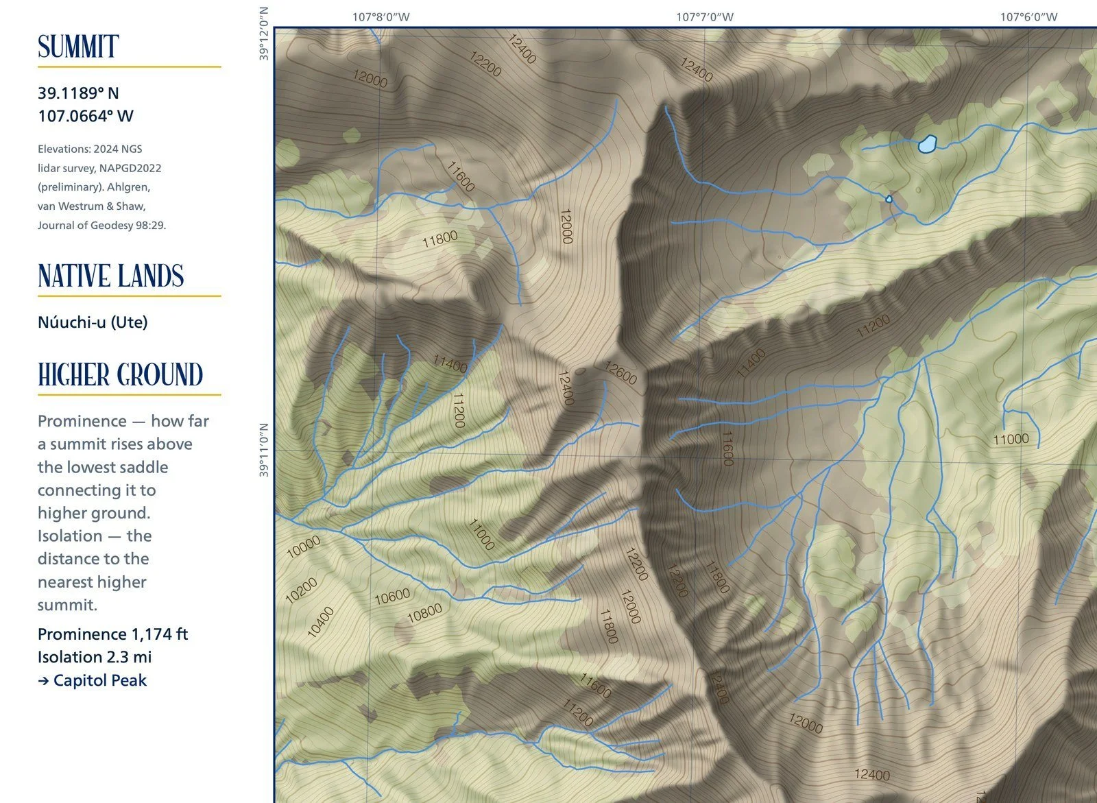
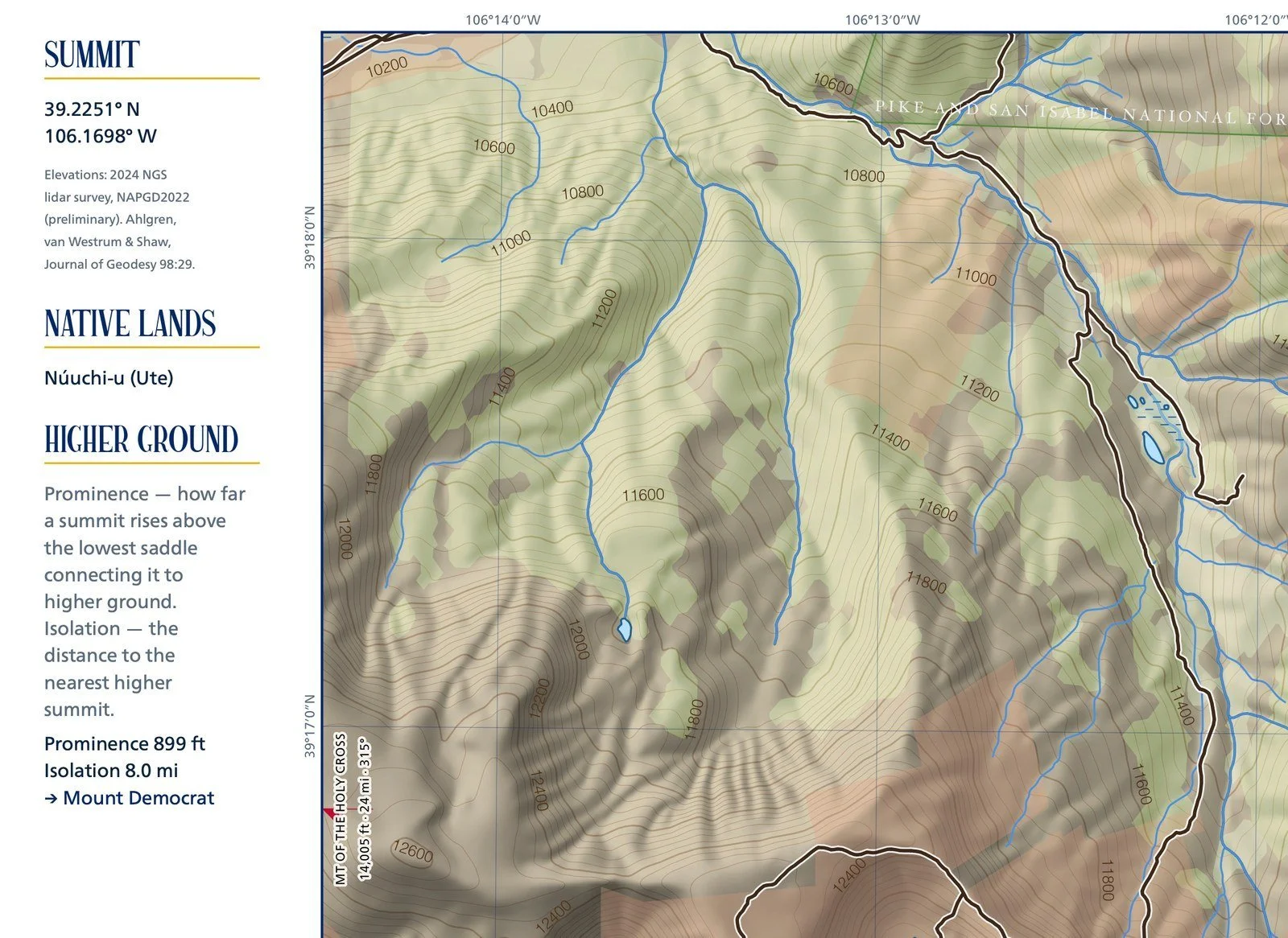
The margins give the summit’s coordinates, prominence and isolation, the Native lands it sits within, other names where they exist, and a short history. Elevations are from the 2024 NGS lidar survey. One of 31 maps in the Ridgeline Maps Colorado 14ers series, covering all 58 peaks. From Ridgeline Maps.