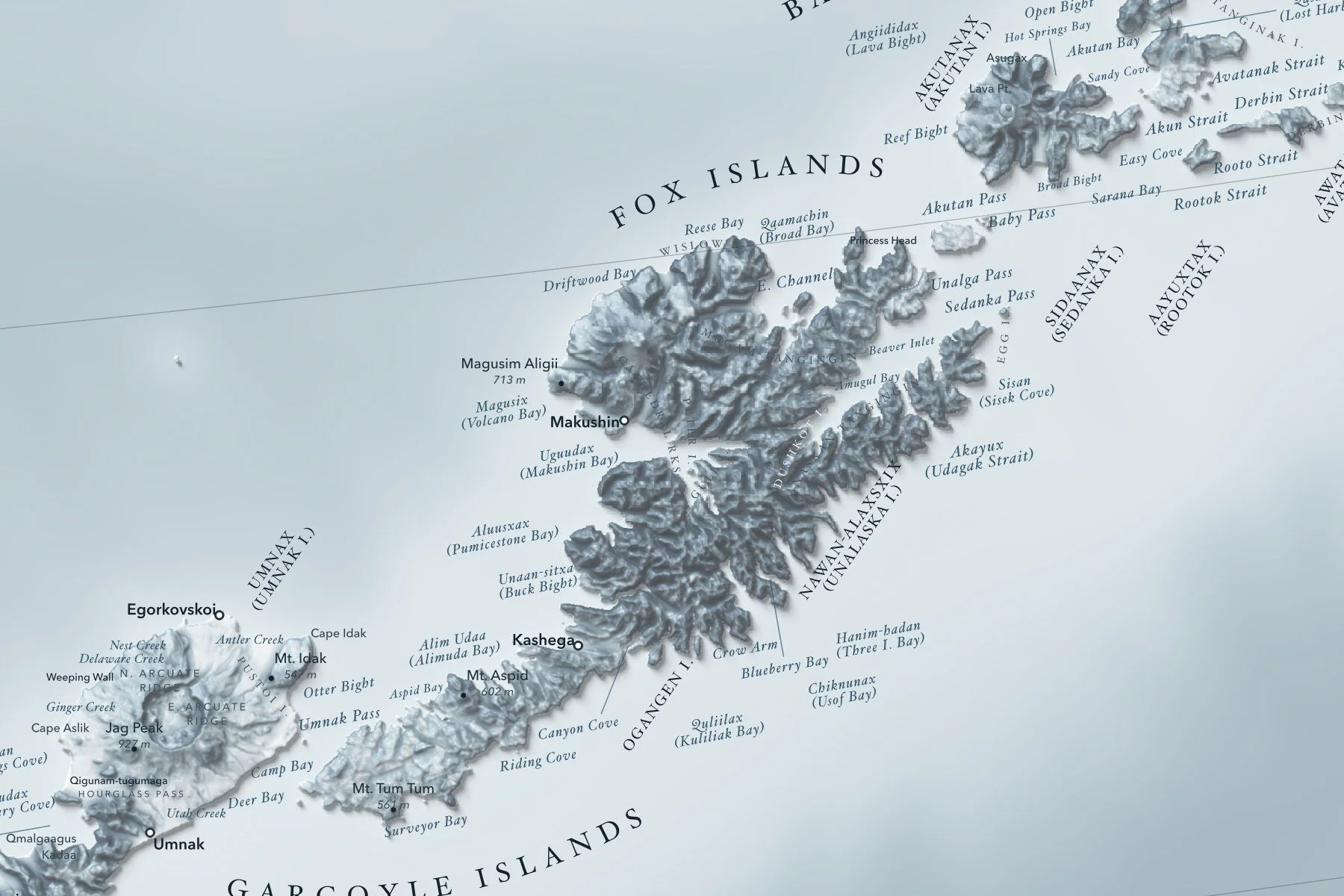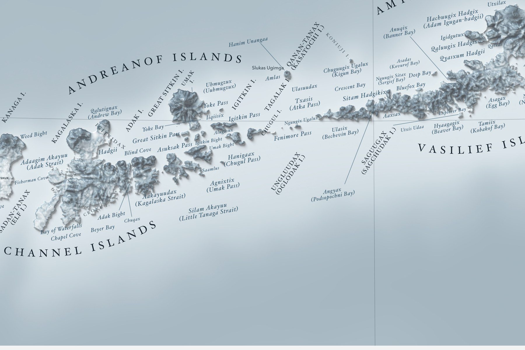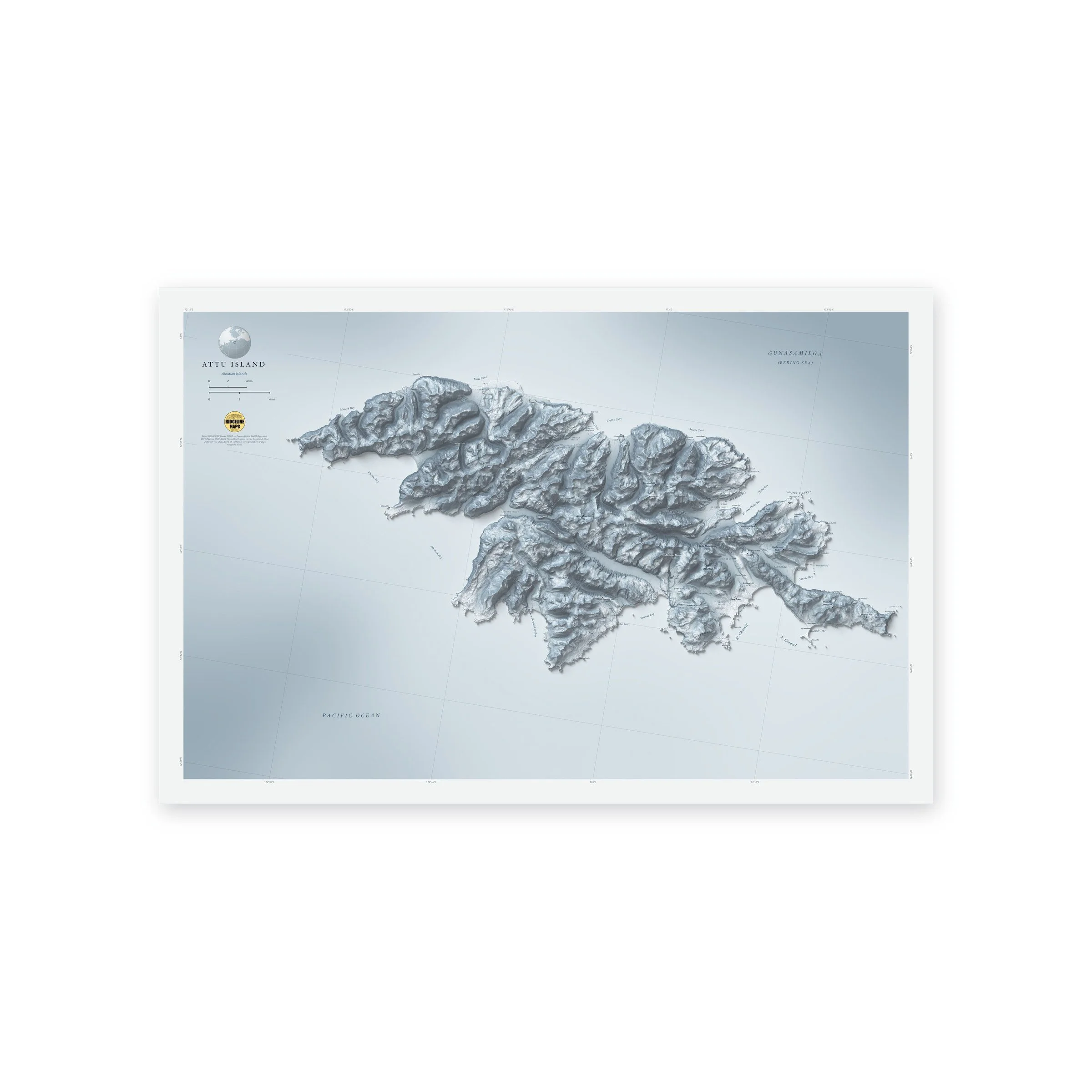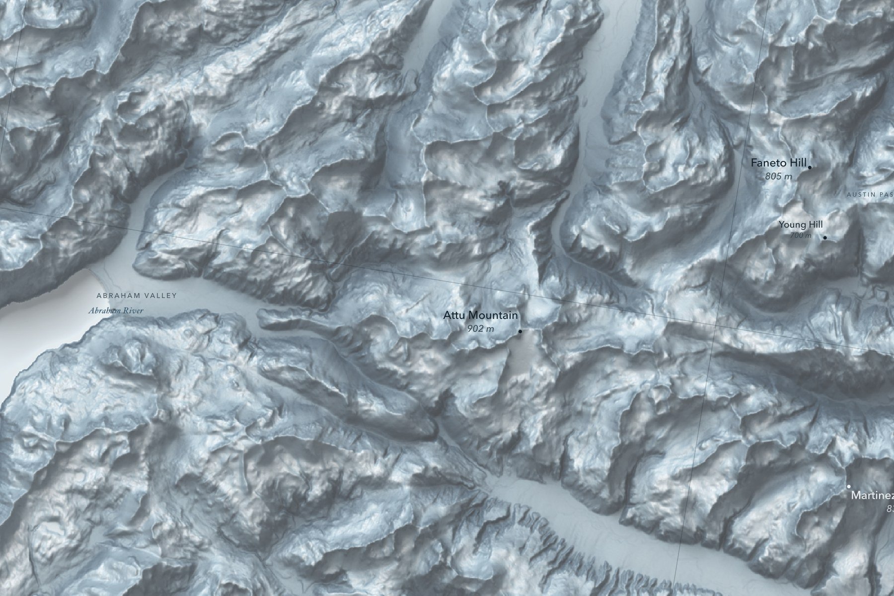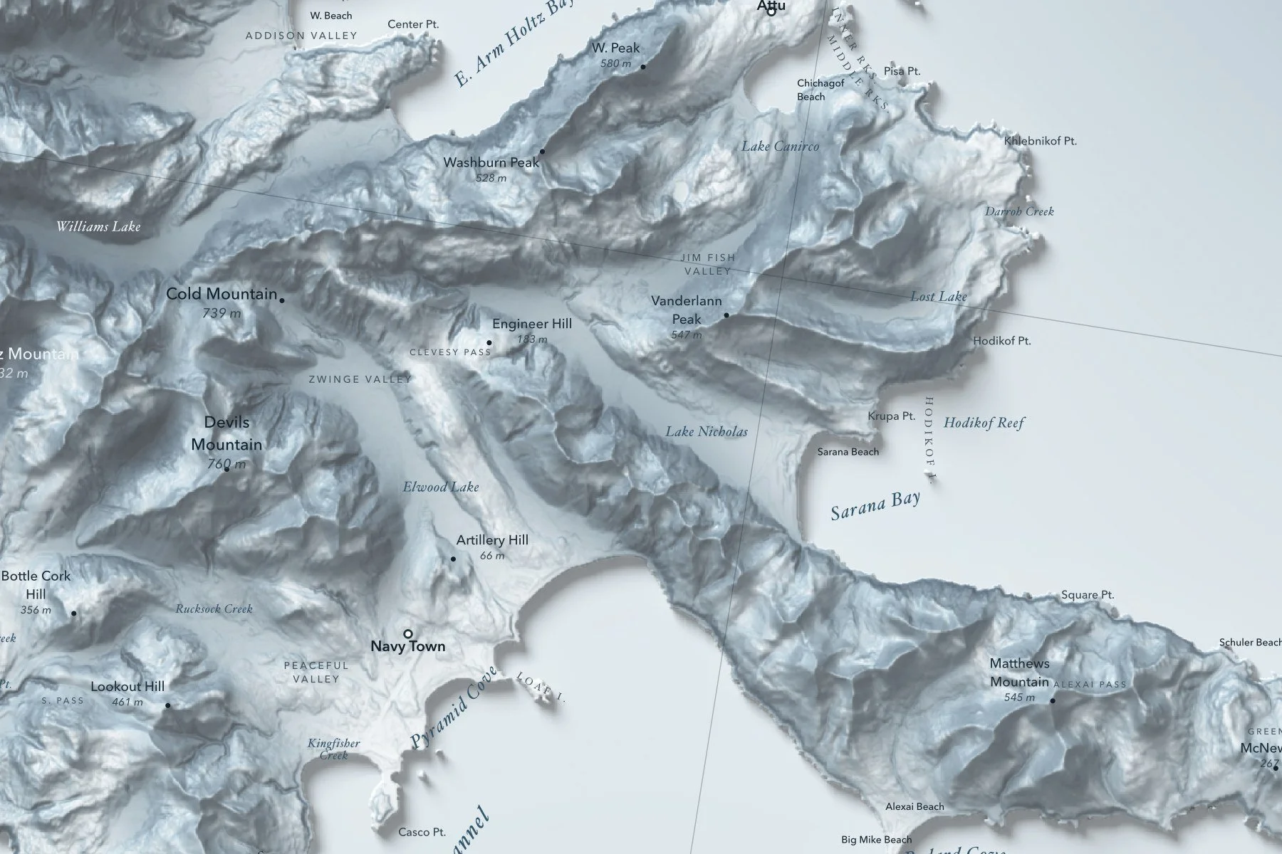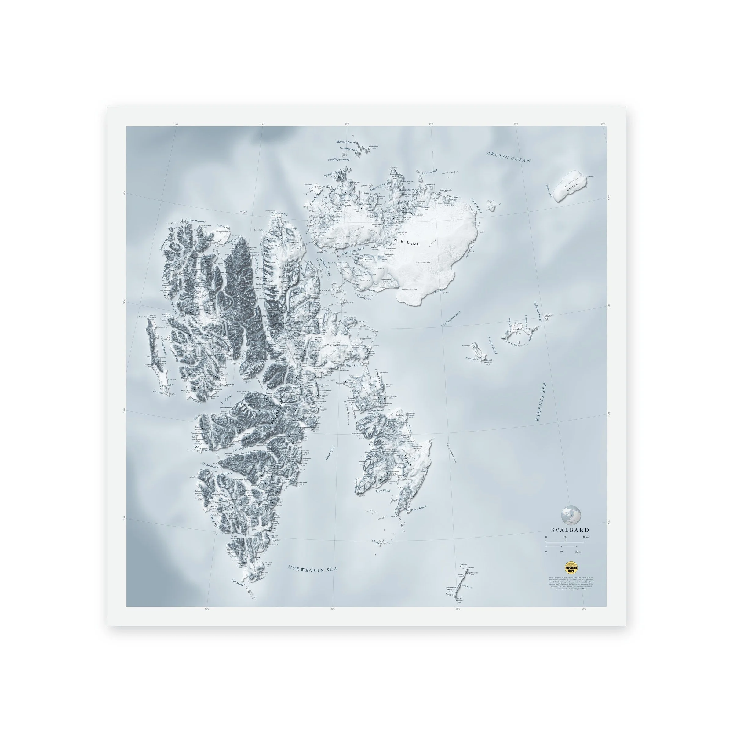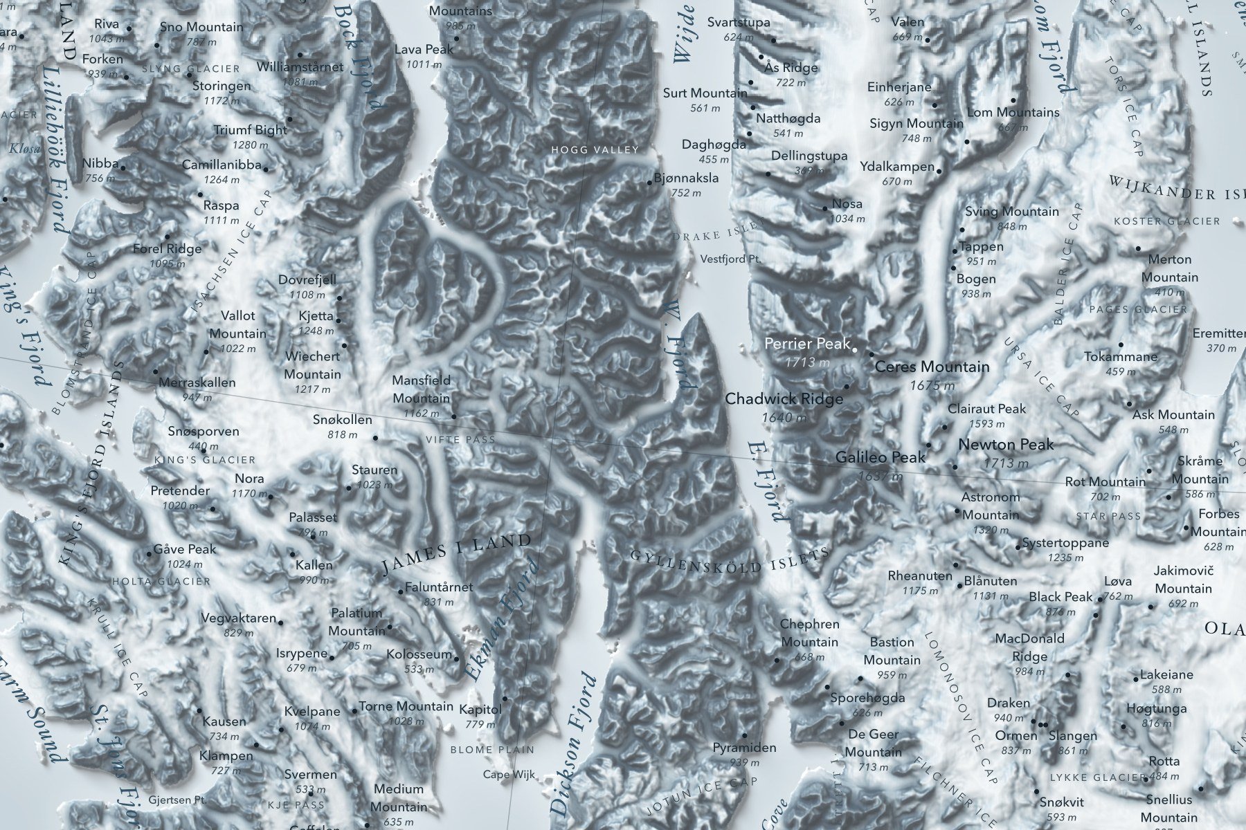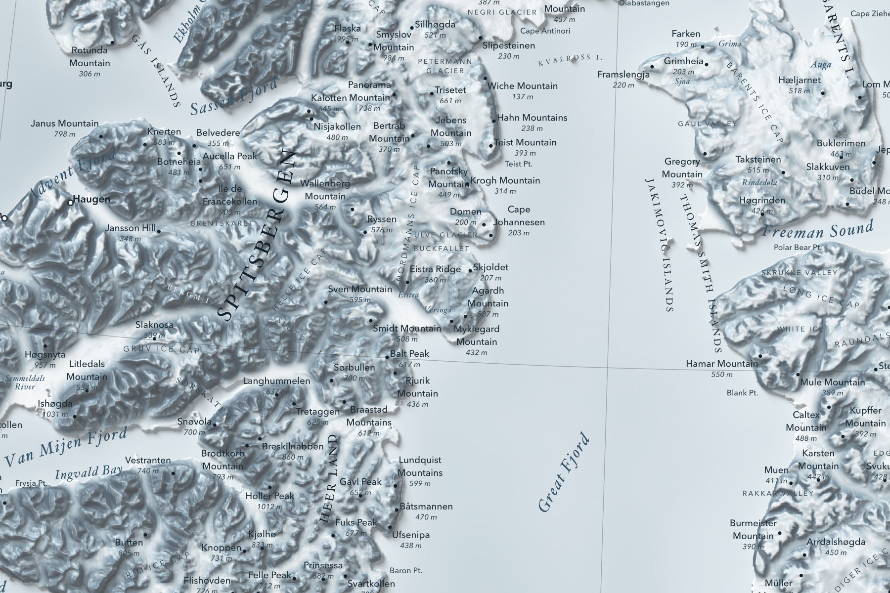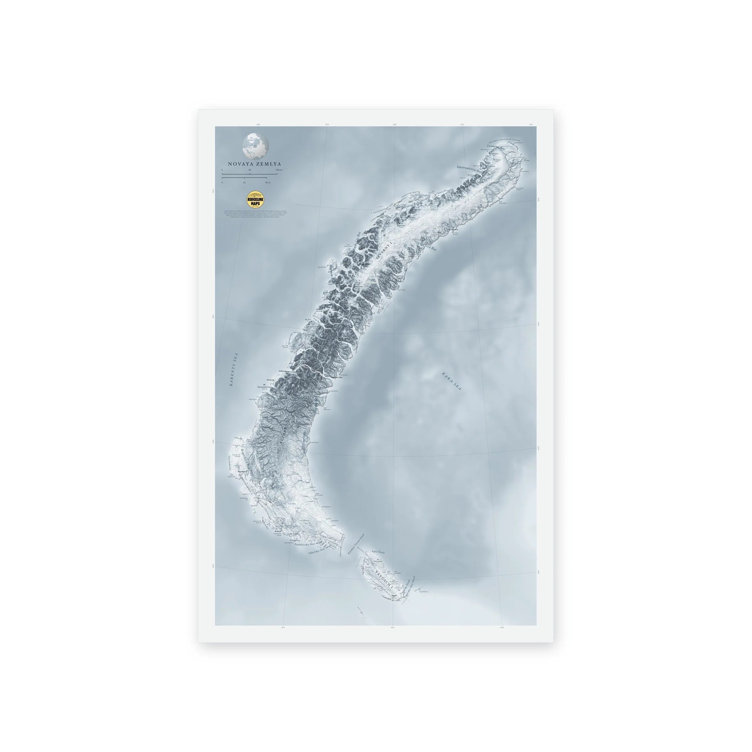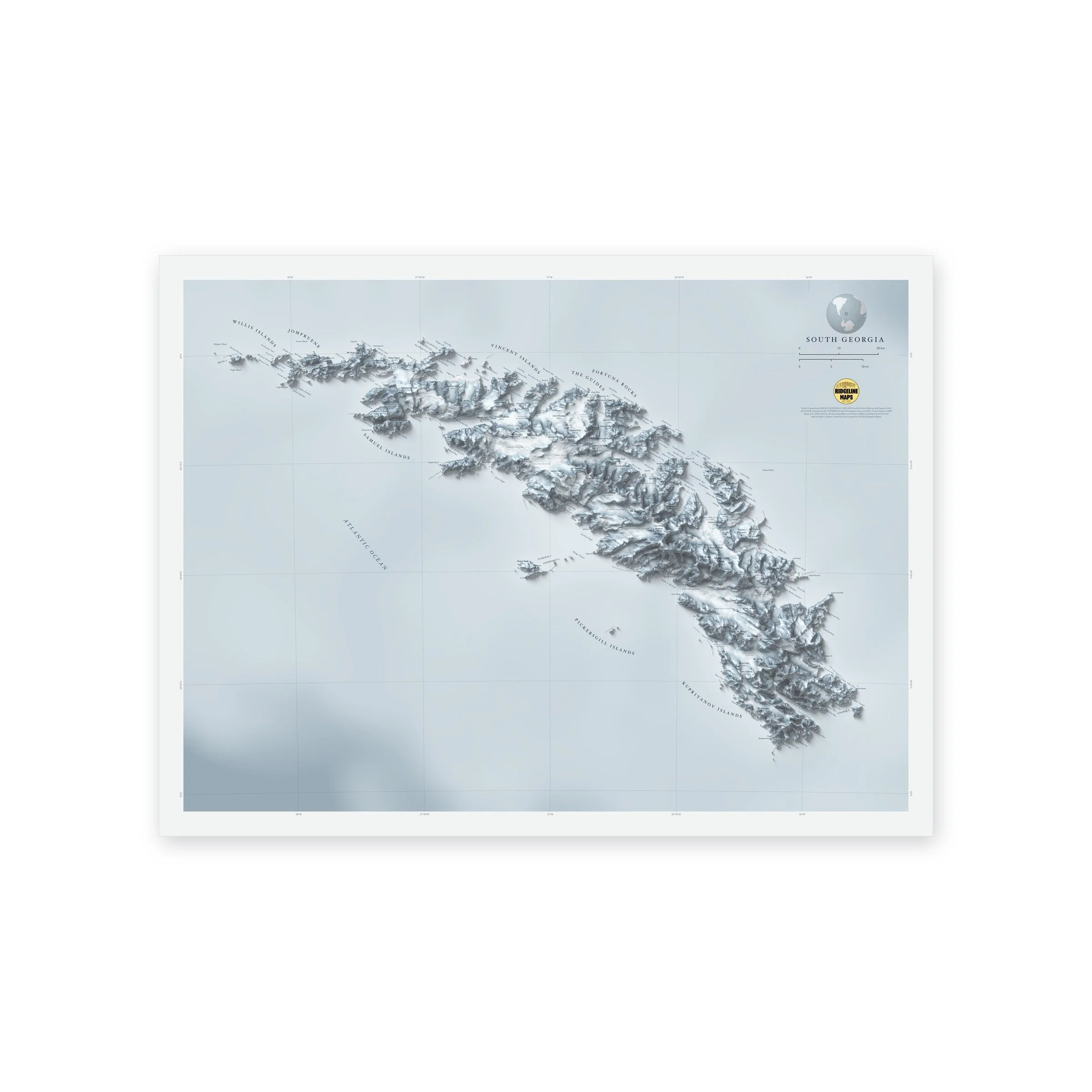
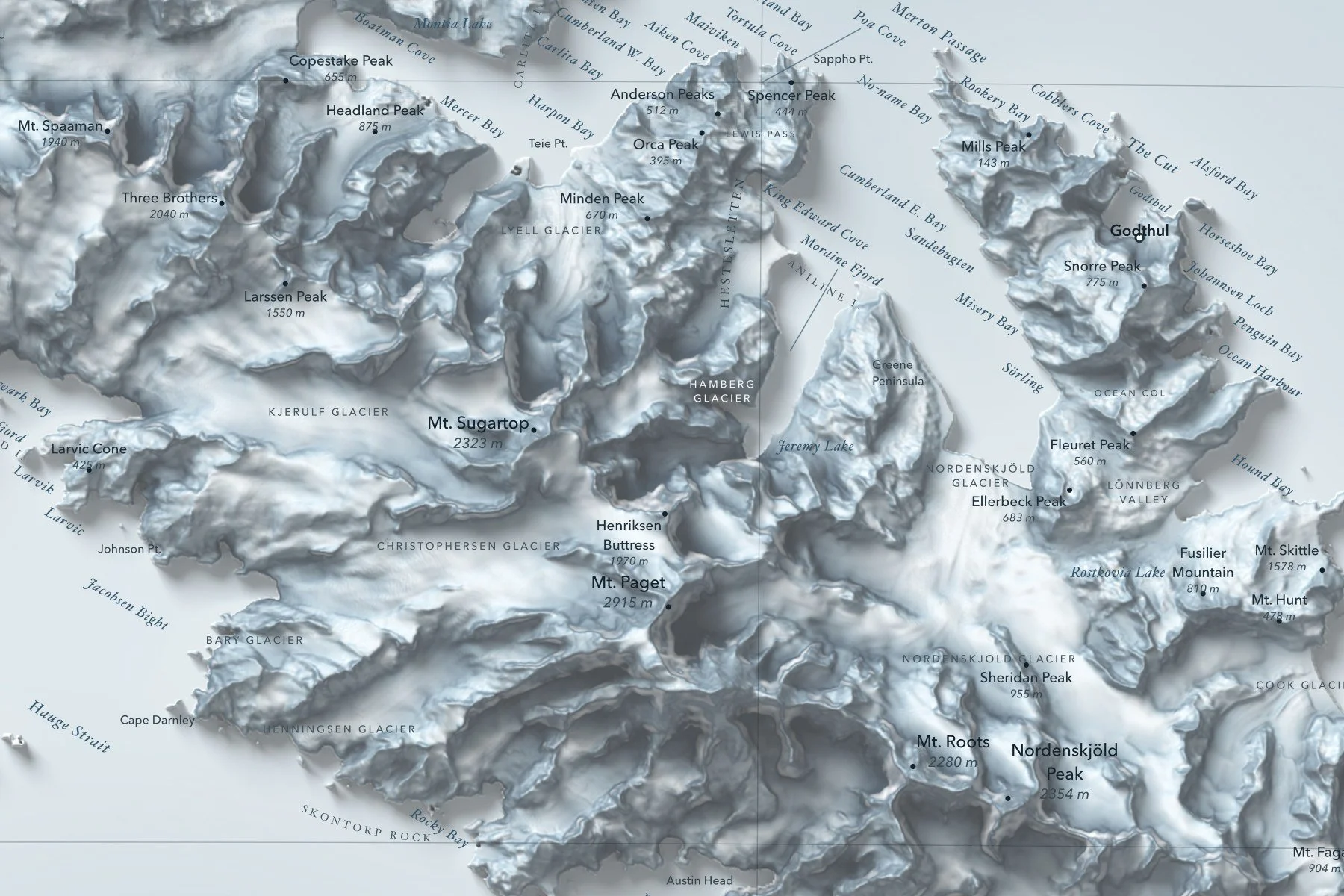
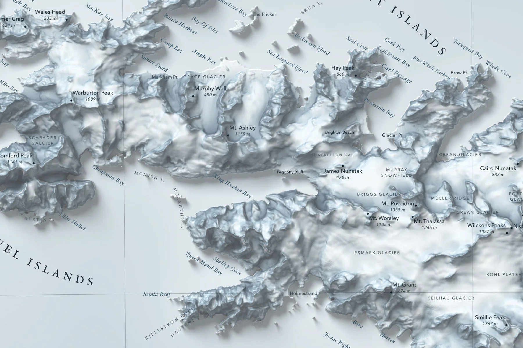
A shaded-relief map of South Georgia, the glaciated sub-Antarctic island in the far South Atlantic where Shackleton ended his 1916 crossing, with Mount Paget and the Allardyce and Salvesen ranges. Printed 24 × 18 inches.
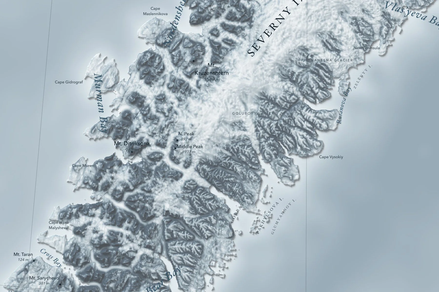
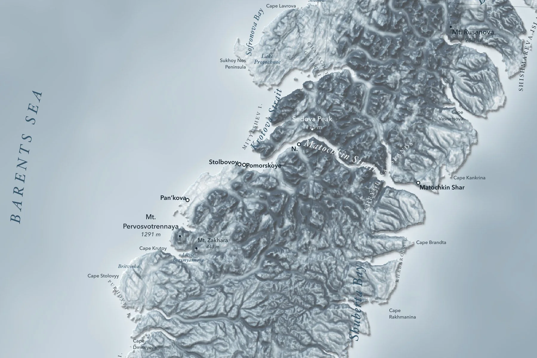
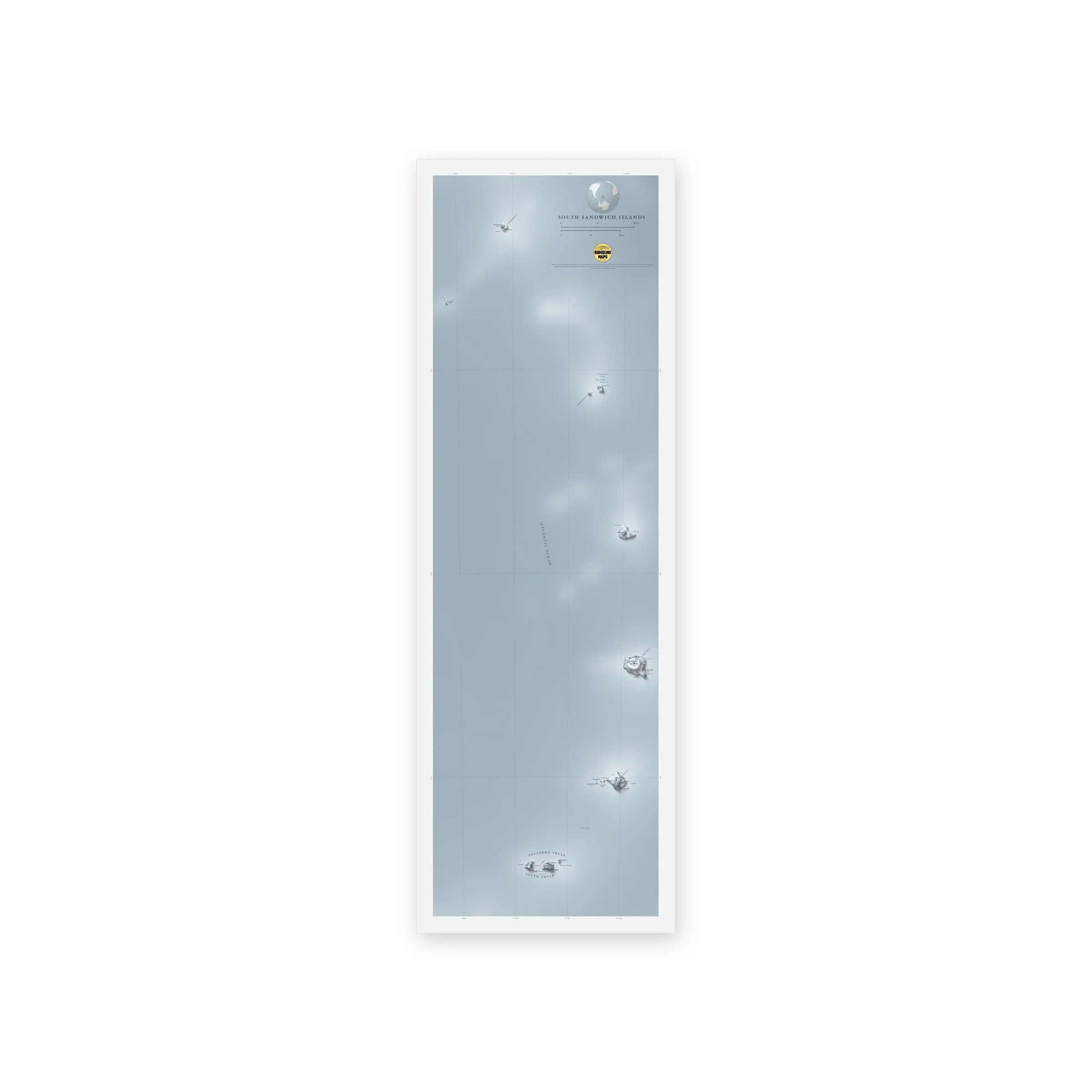
Peaks with their heights, bays, sounds and headlands are labeled in fine type, with a lat/long grid, a scale bar and a small globe showing where in the world it sits. Printed on fine art cold press paper. Unframed. Part of the Island Relief Maps series from Ridgeline Maps.