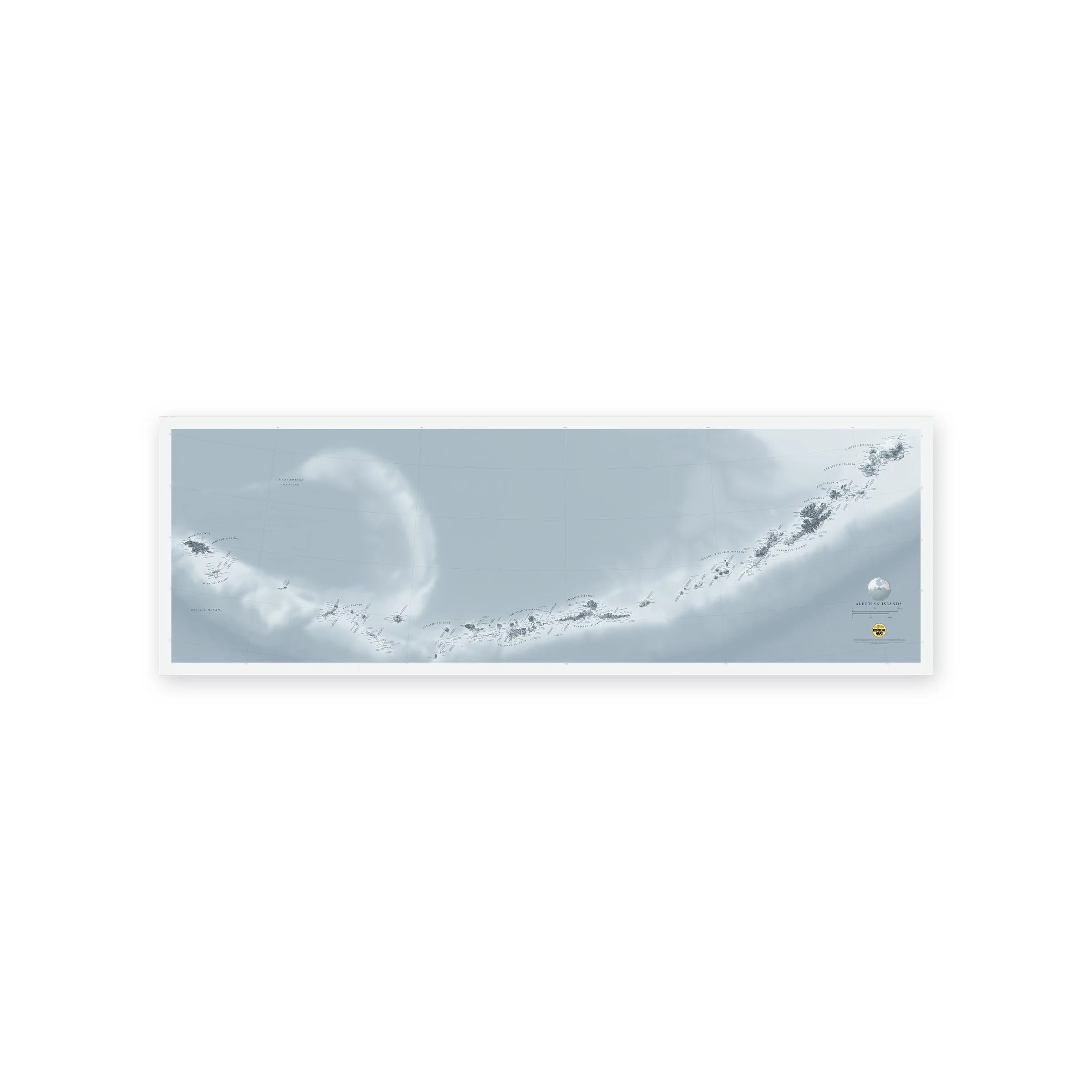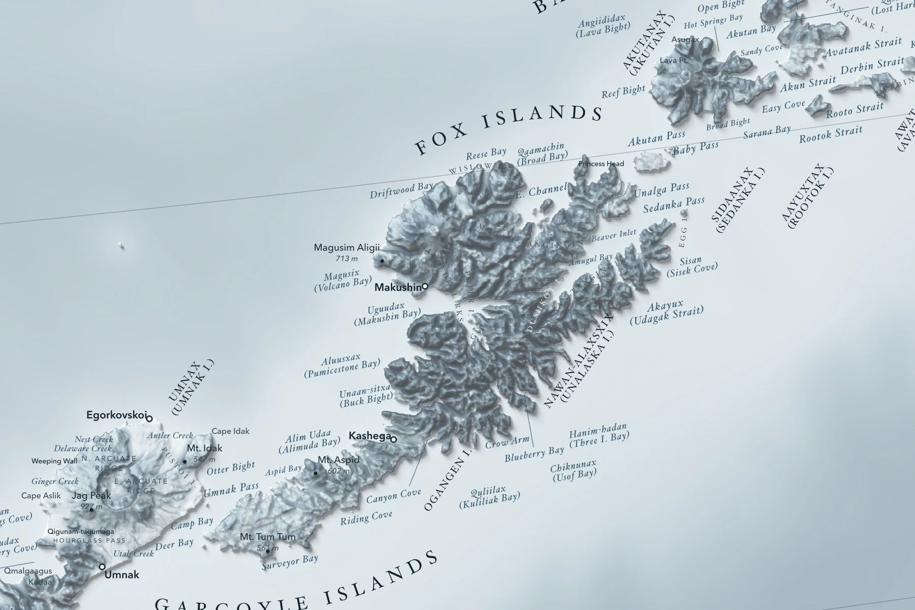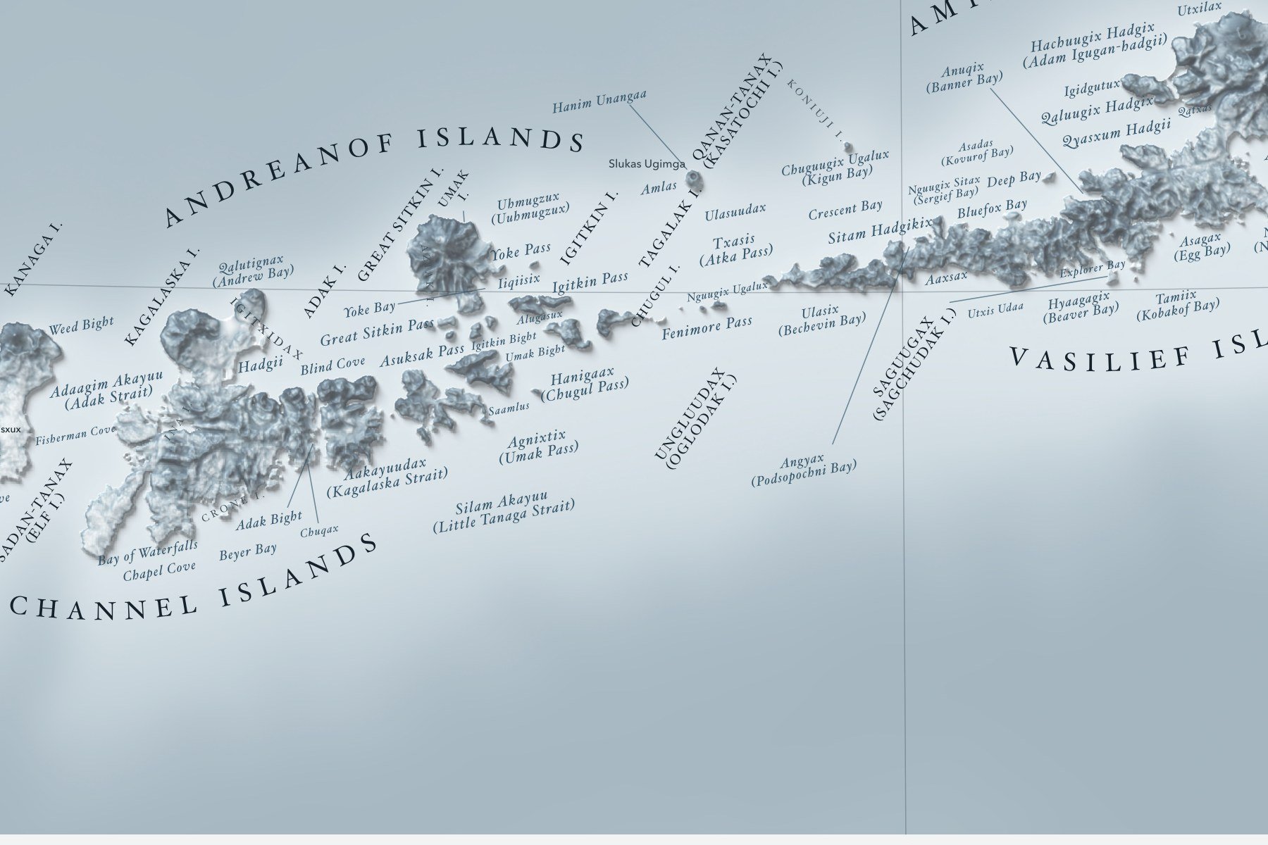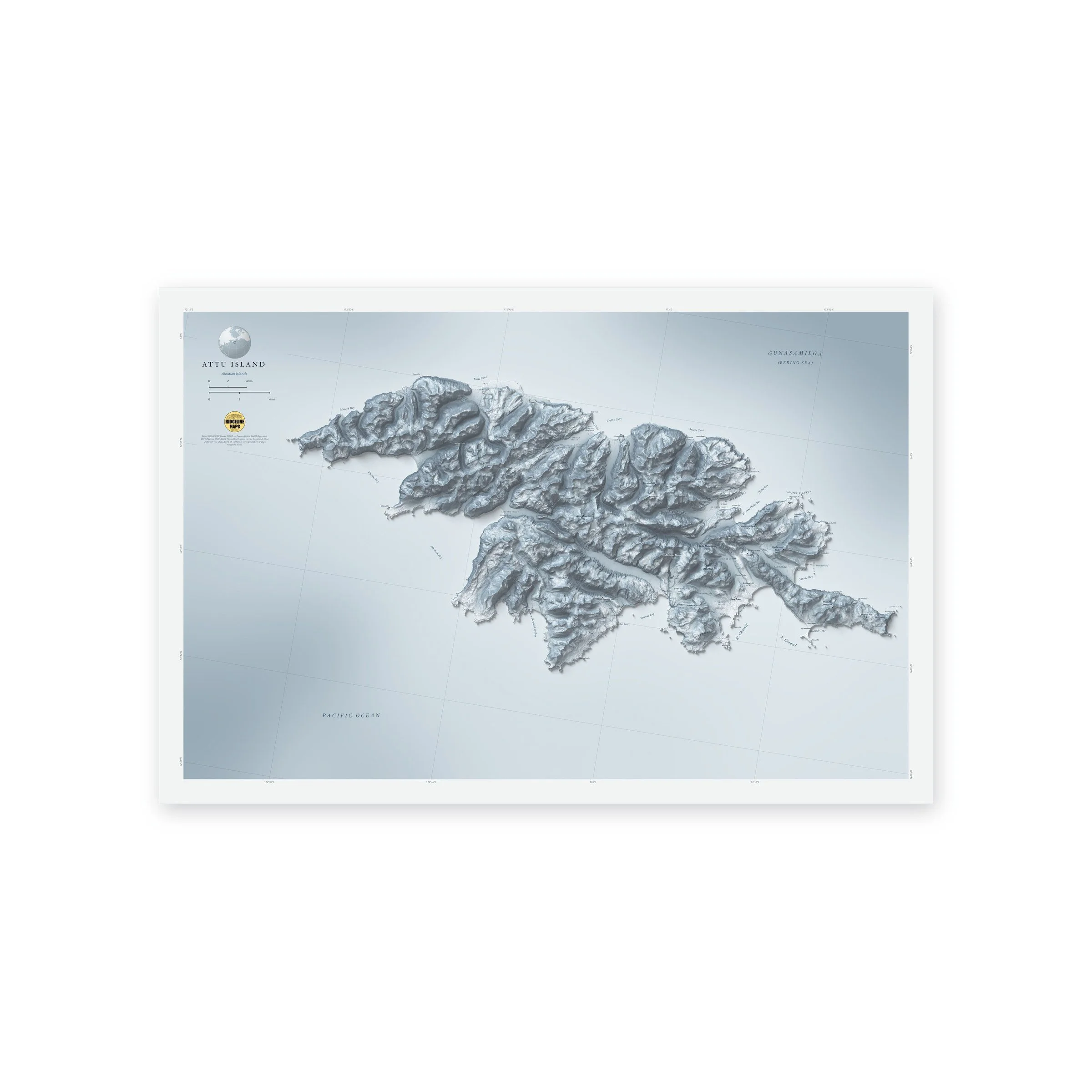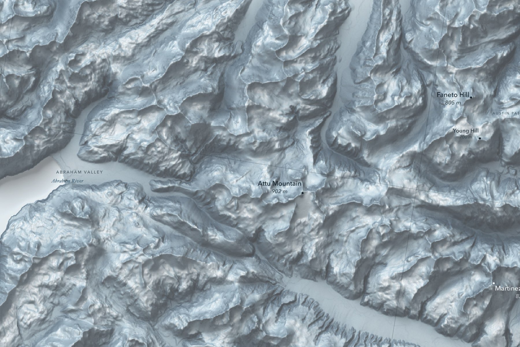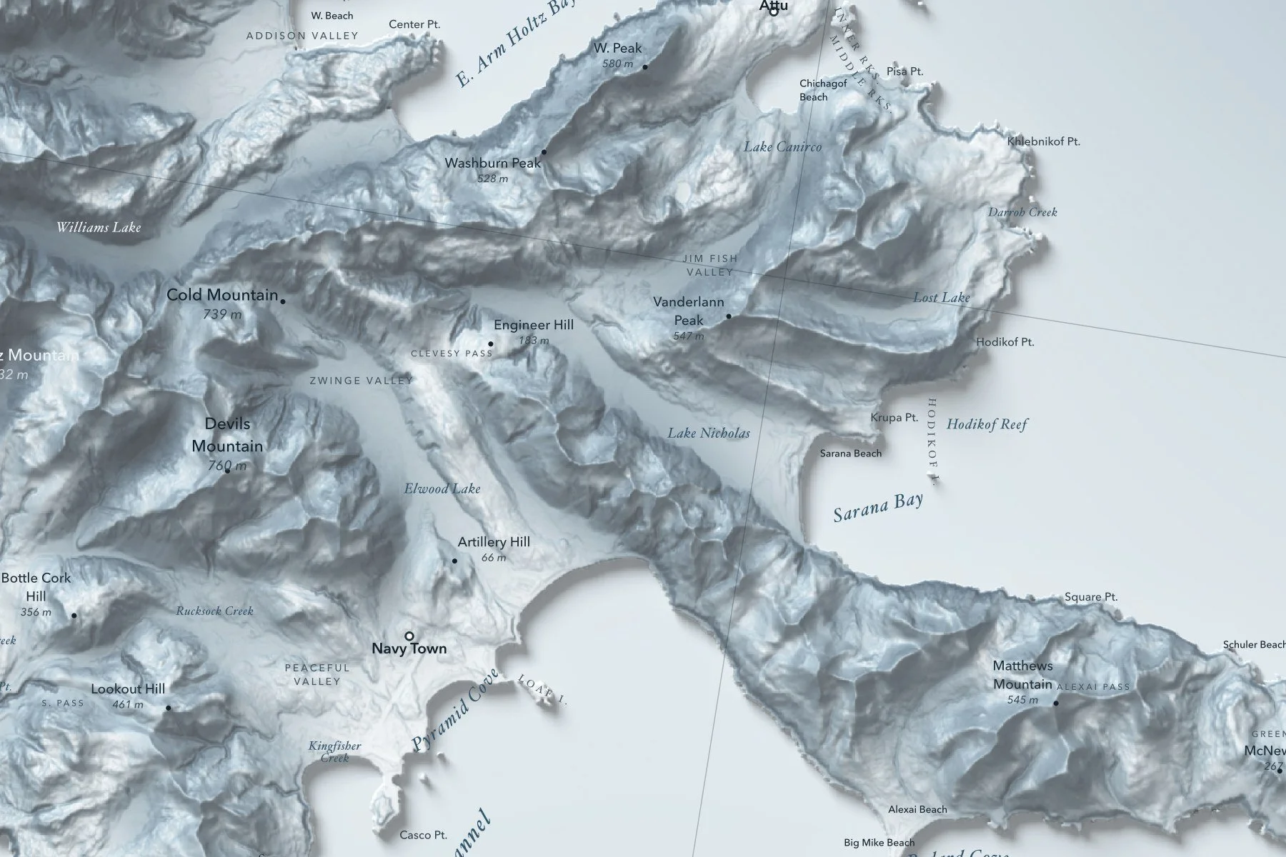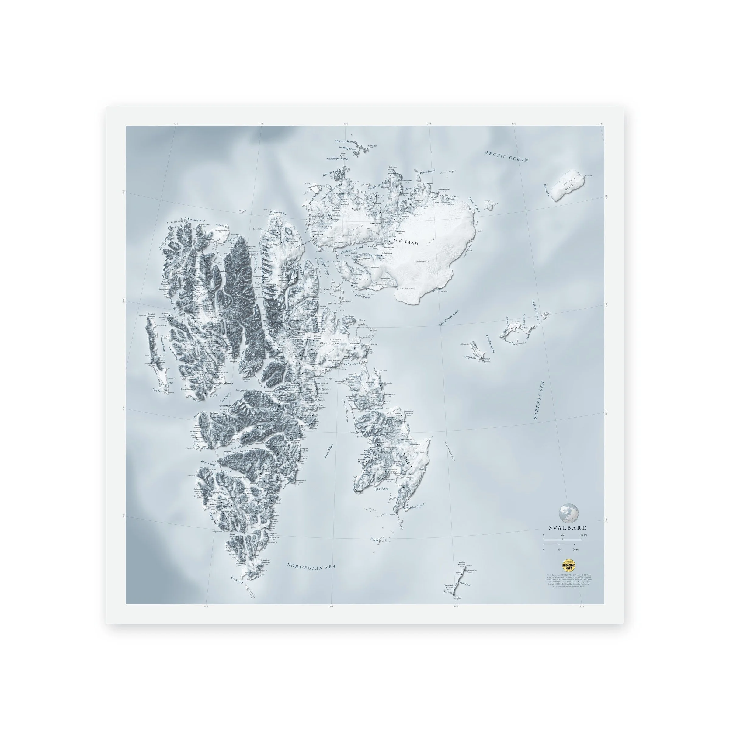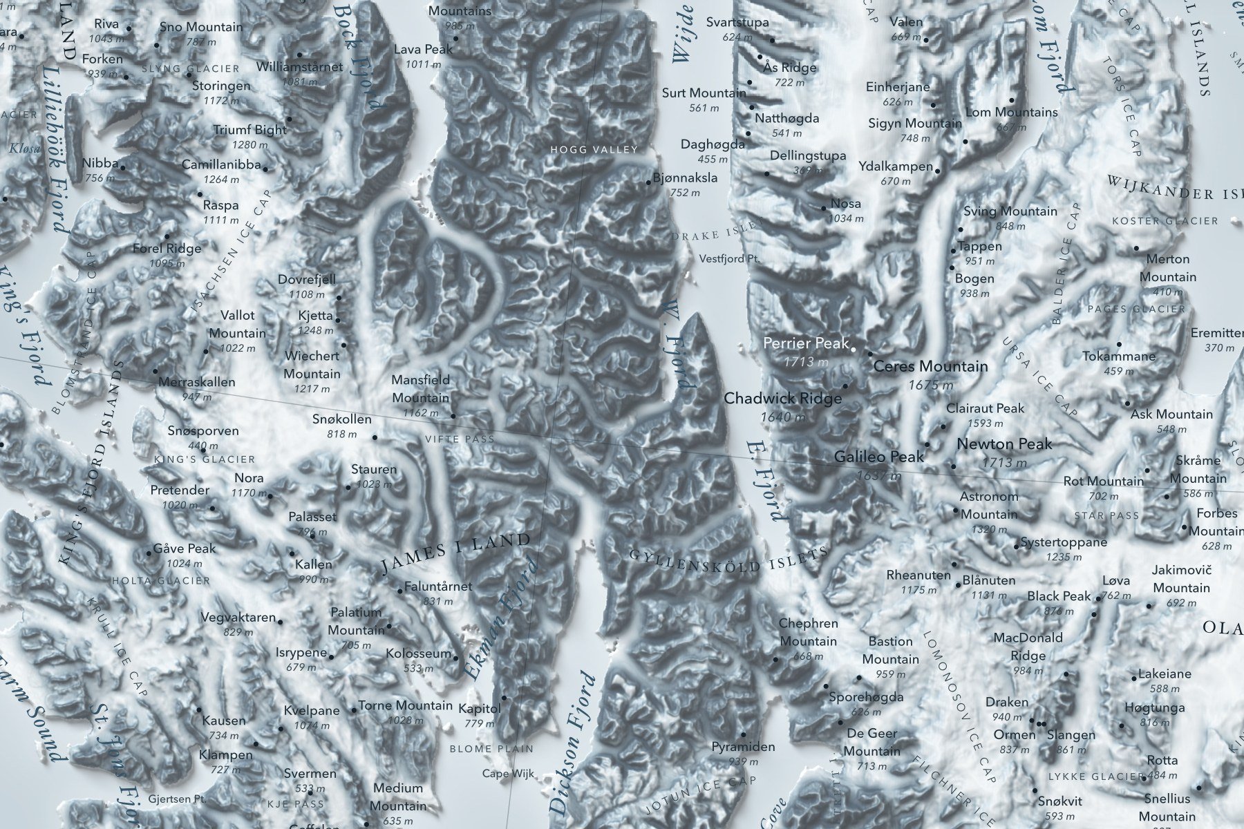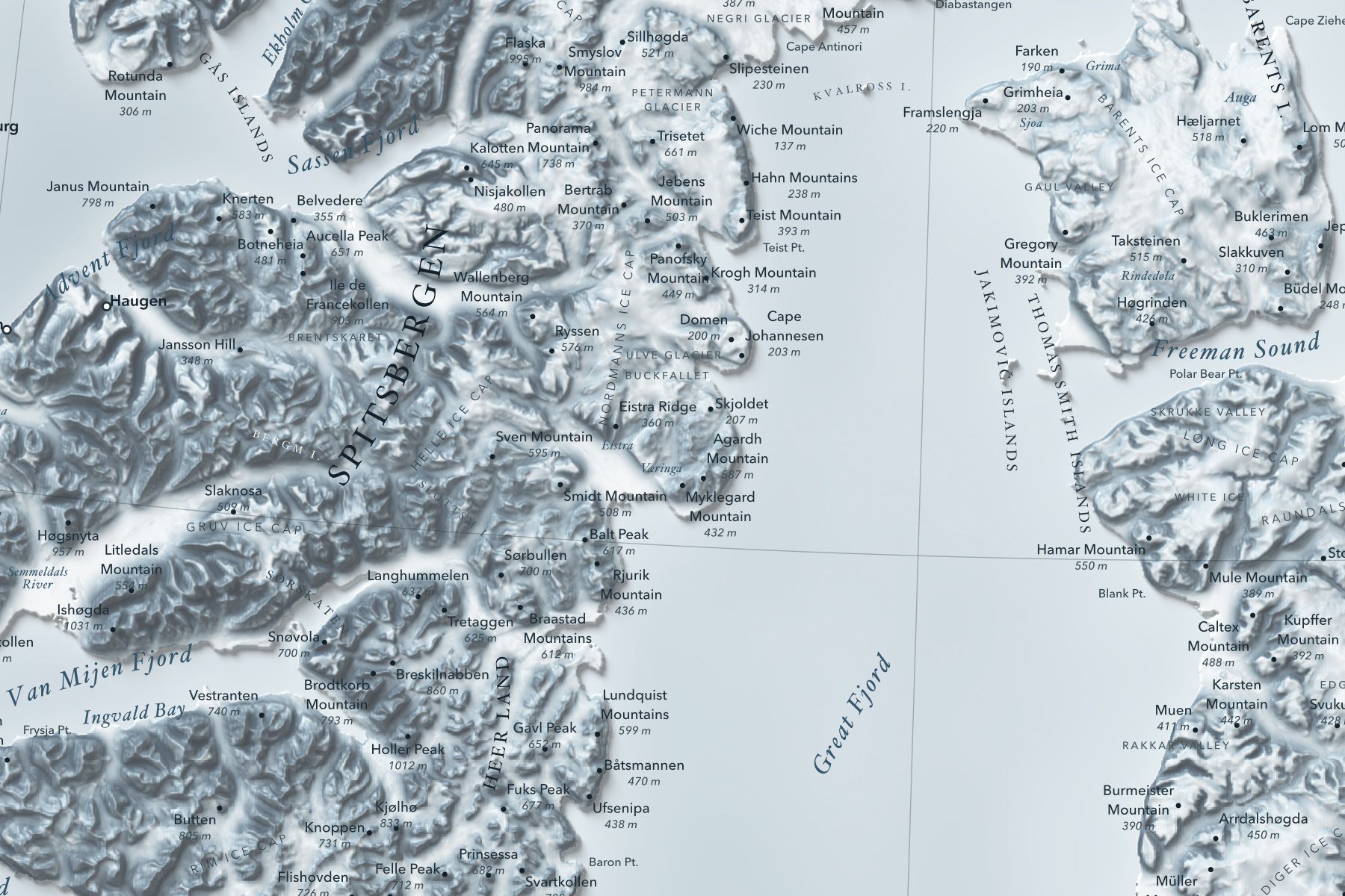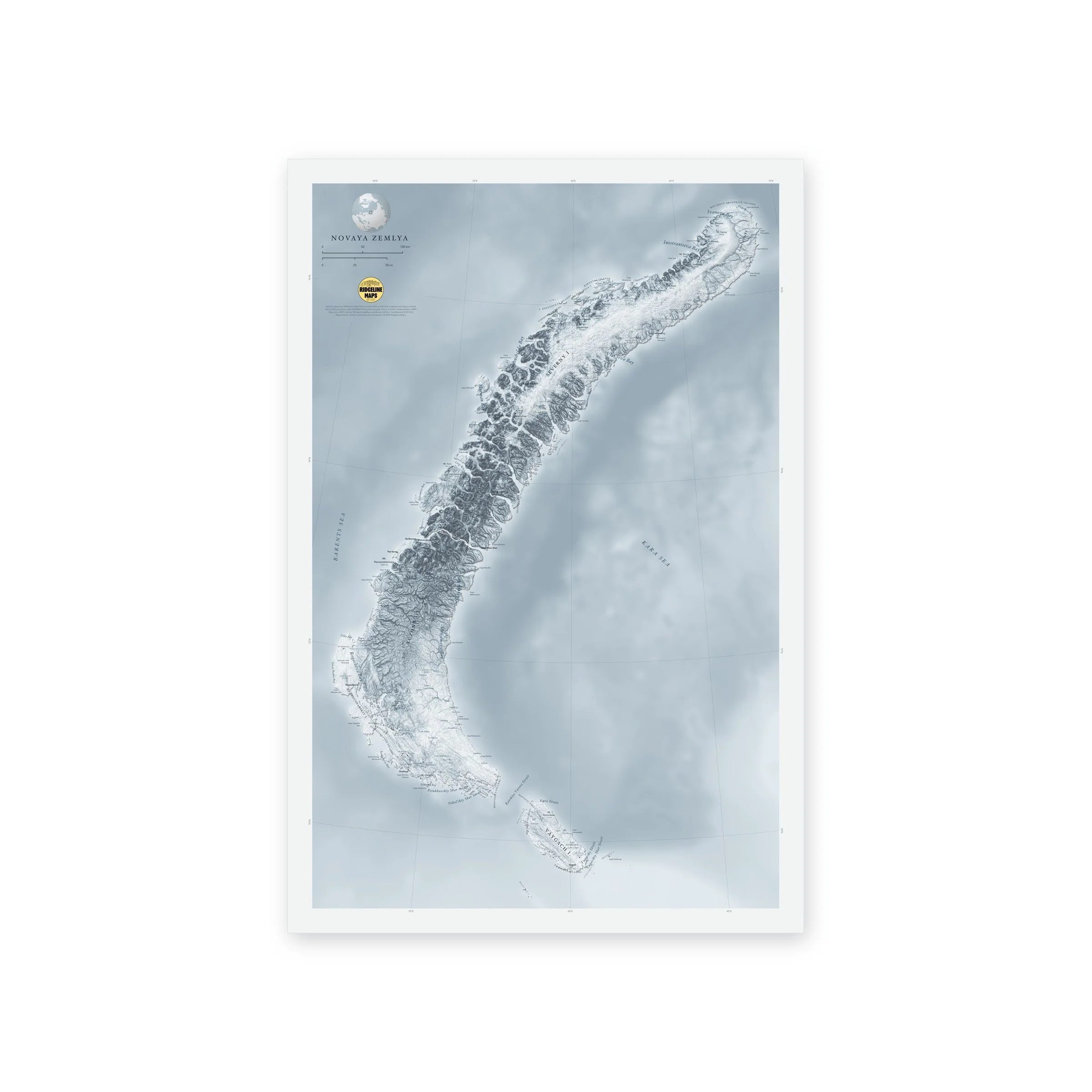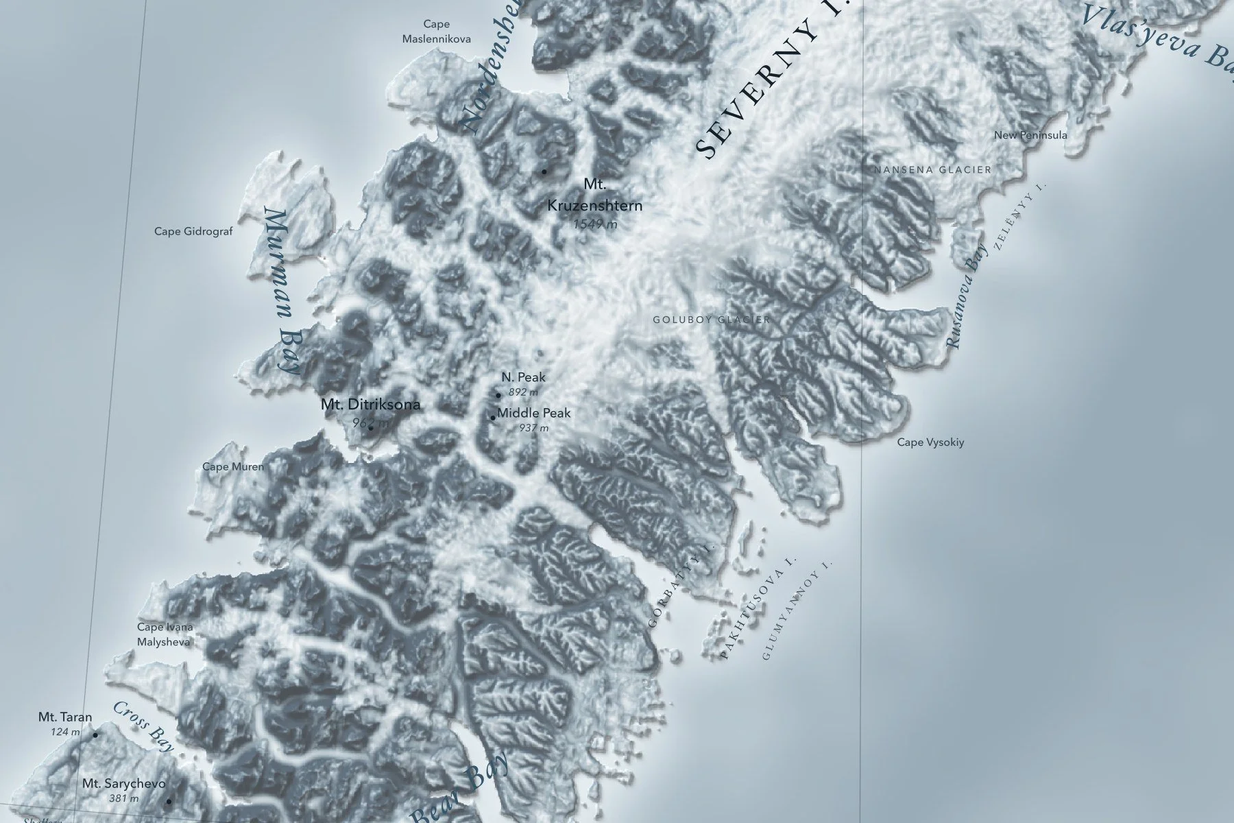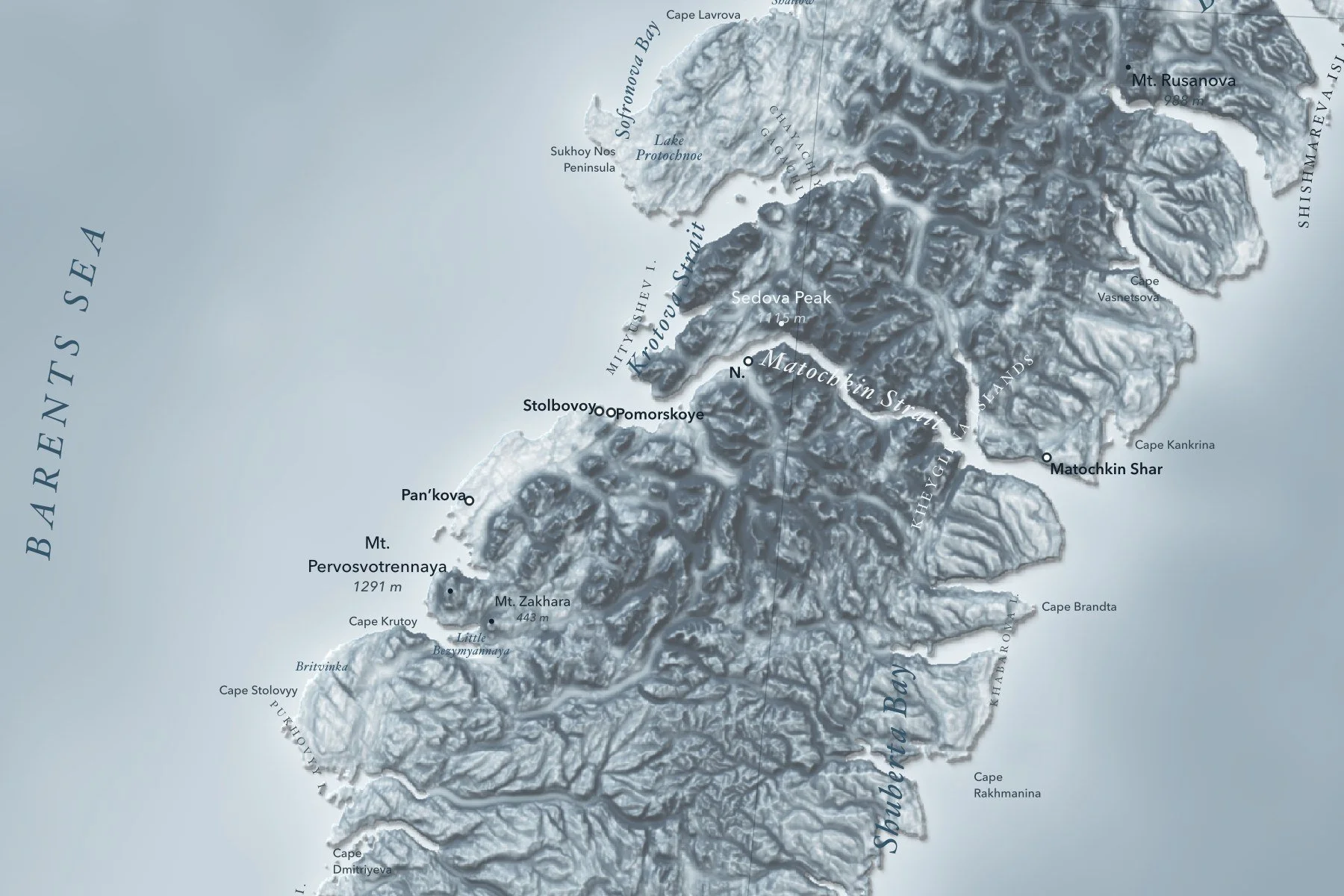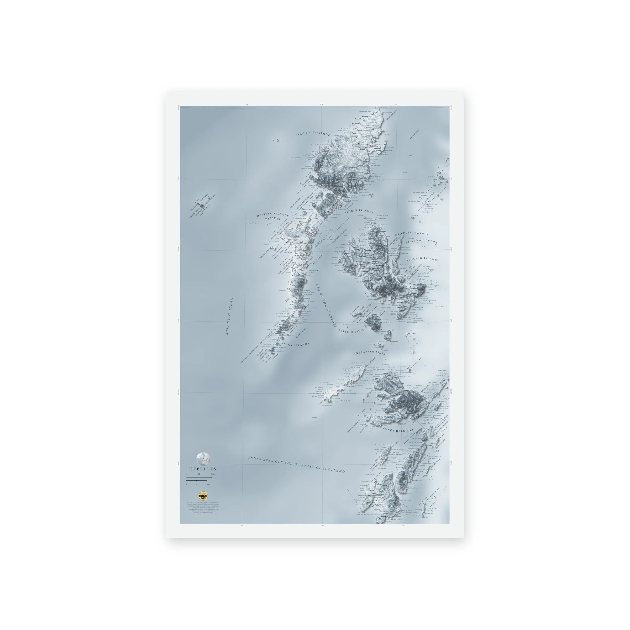
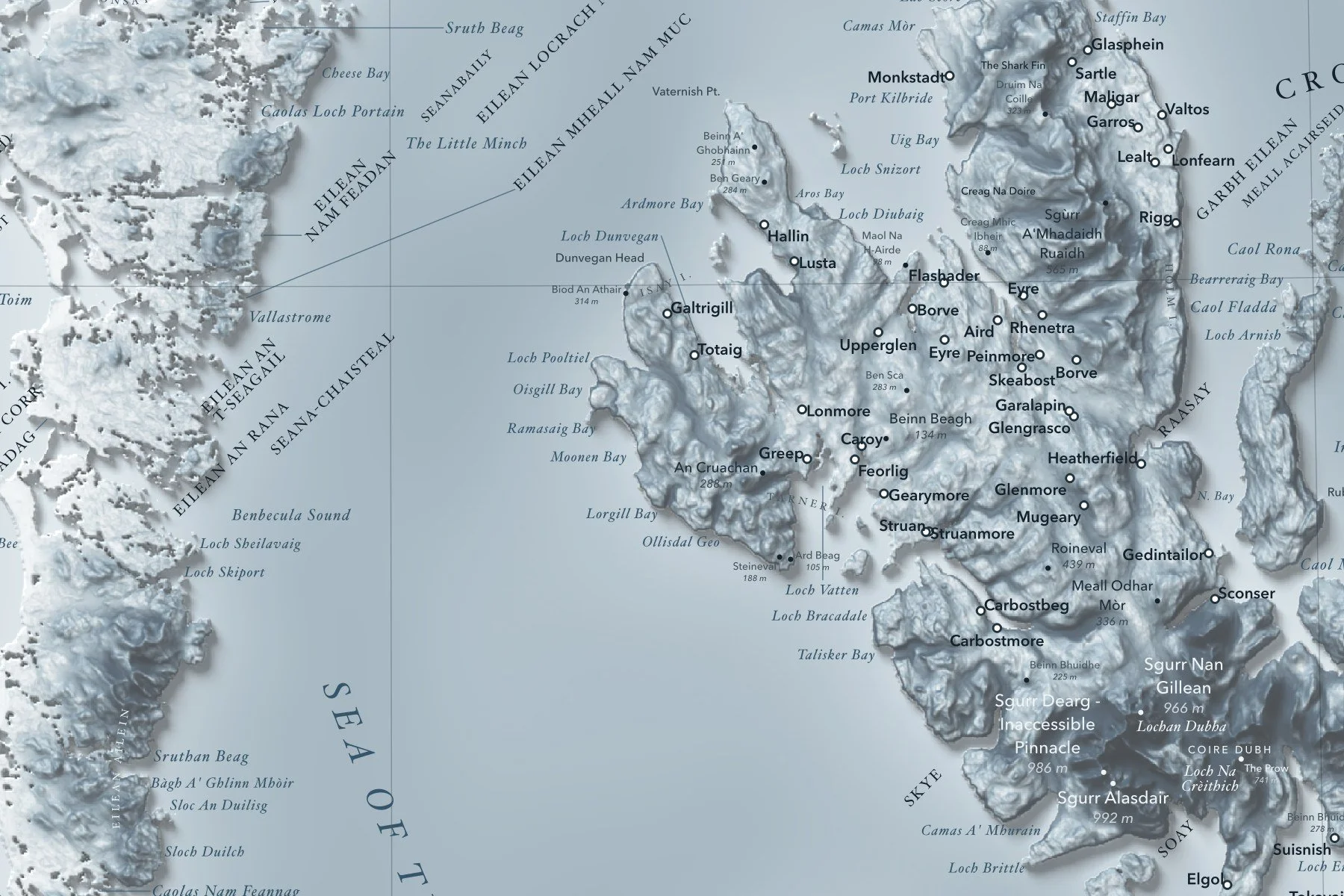
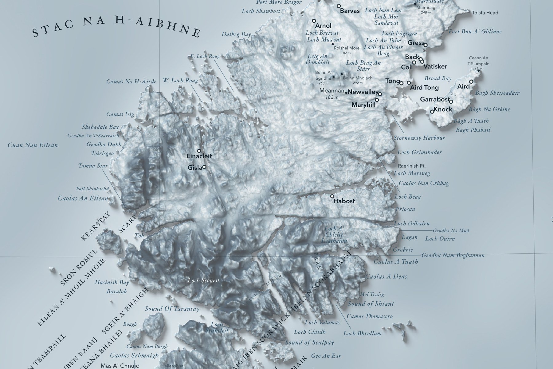
A shaded-relief map of the Hebrides off Scotland's west coast, from the Butt of Lewis to Islay and Jura, with Skye, Mull, the Small Isles and lonely St Kilda far out in the Atlantic. Printed 16 × 24 inches.
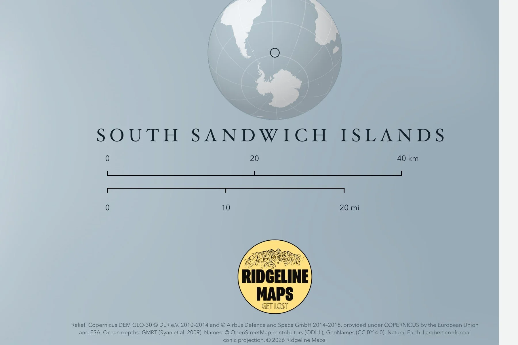
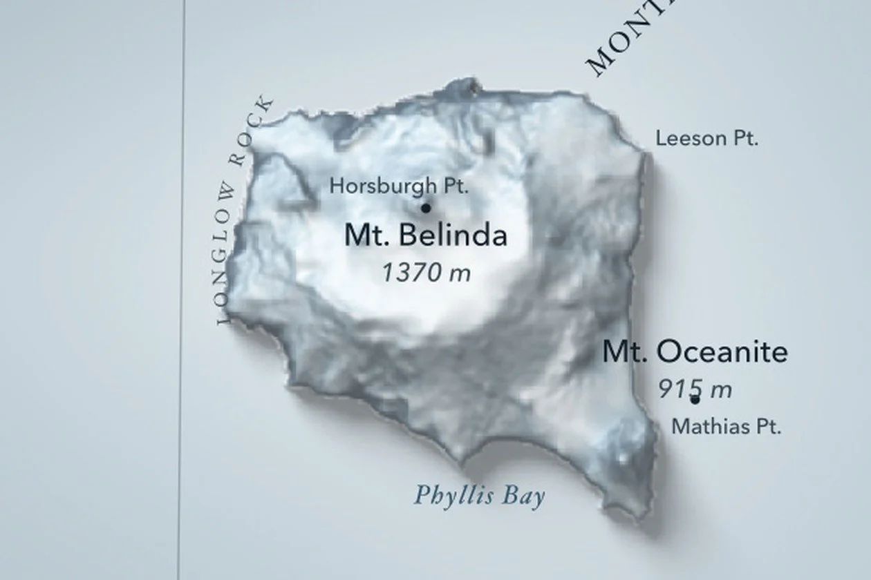
Peaks with their heights, bays, sounds and headlands are labeled in fine type, with a lat/long grid, a scale bar and a small globe showing where in the world it sits. Printed on fine art cold press paper. Unframed. Part of the Island Relief Maps series from Ridgeline Maps.