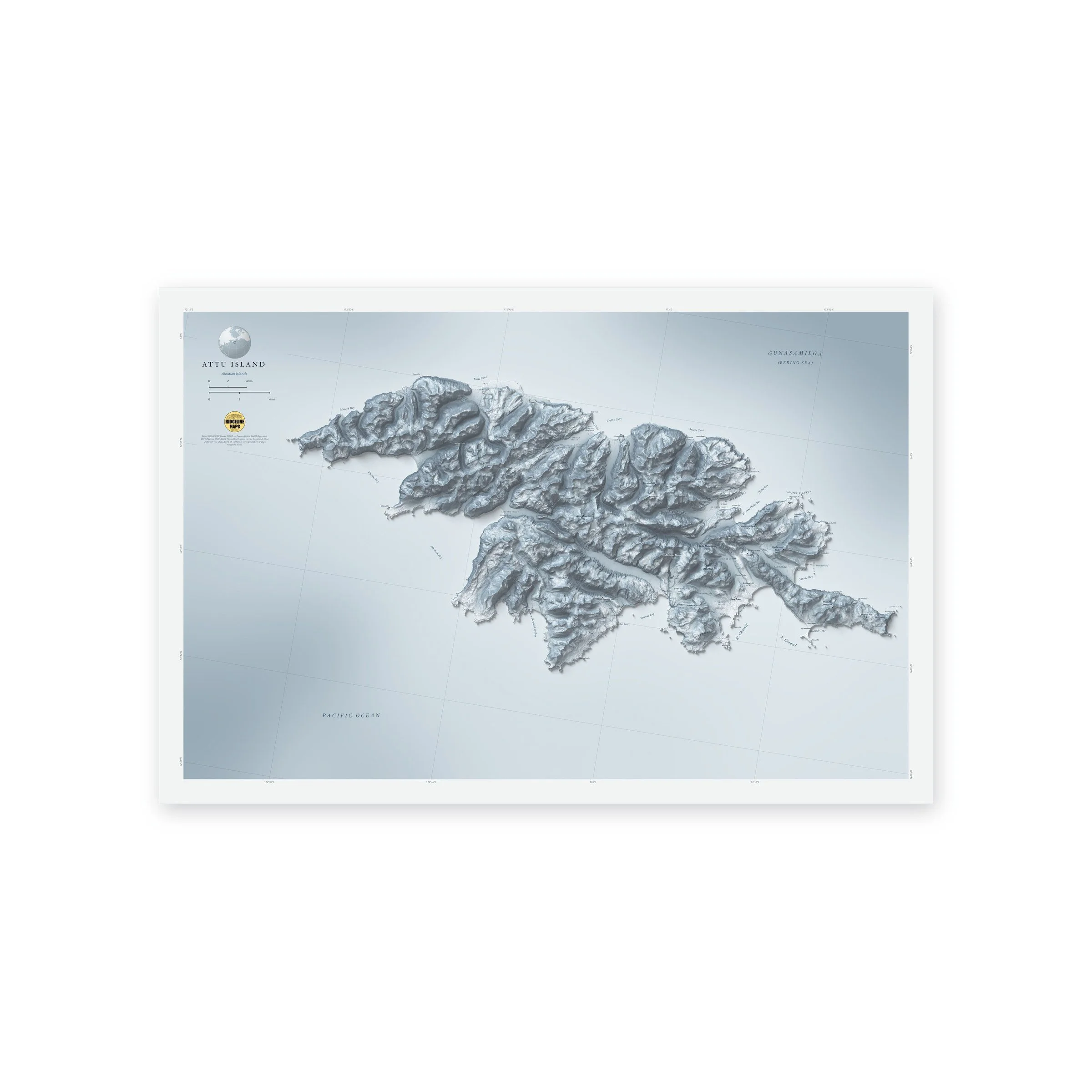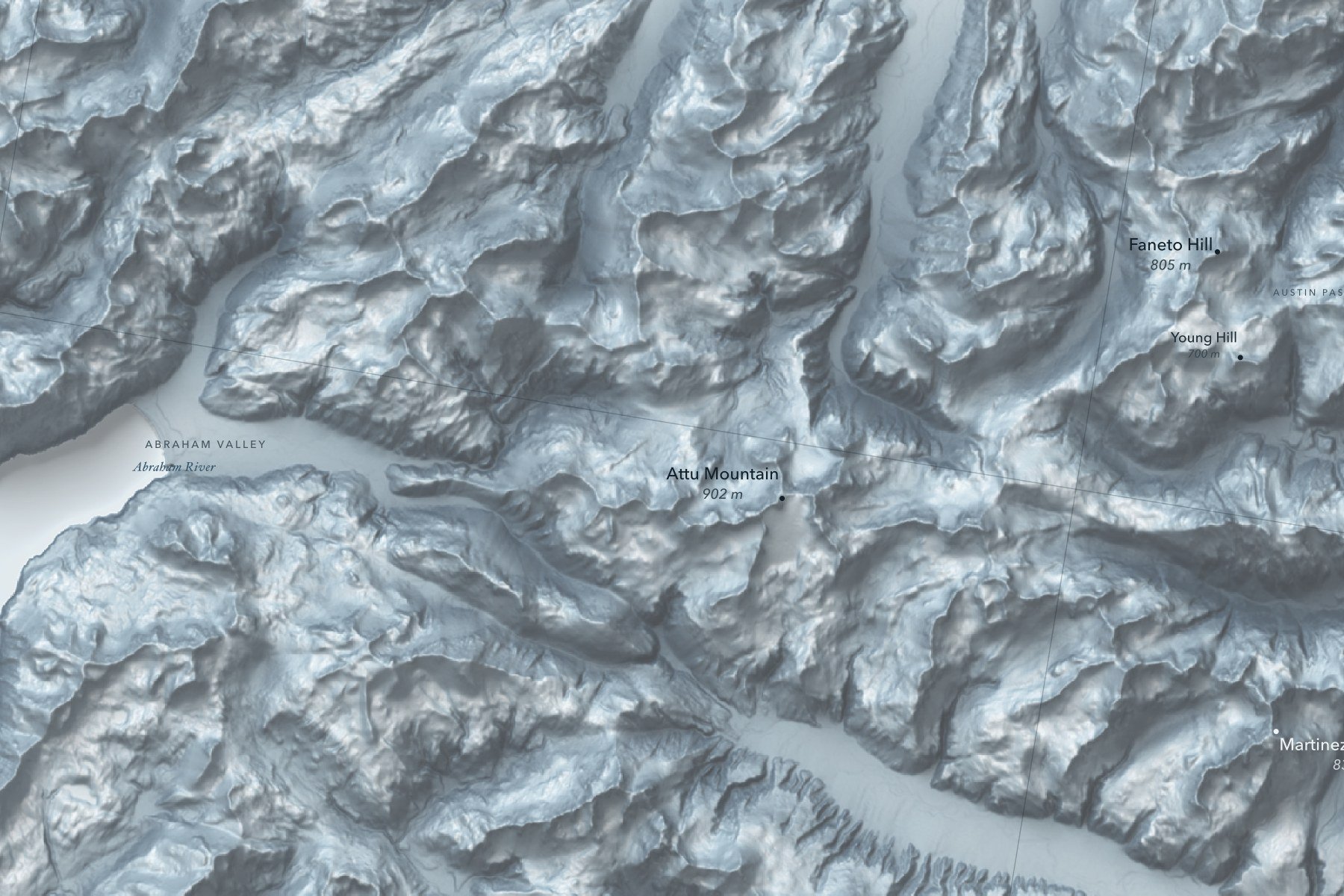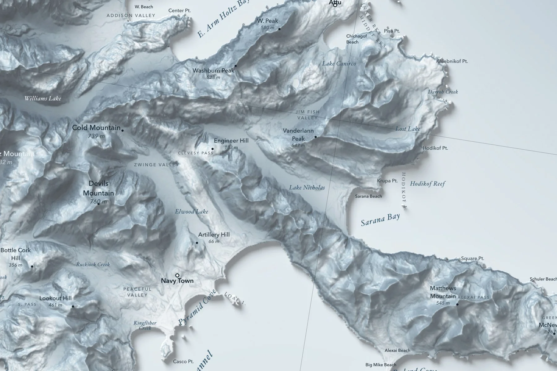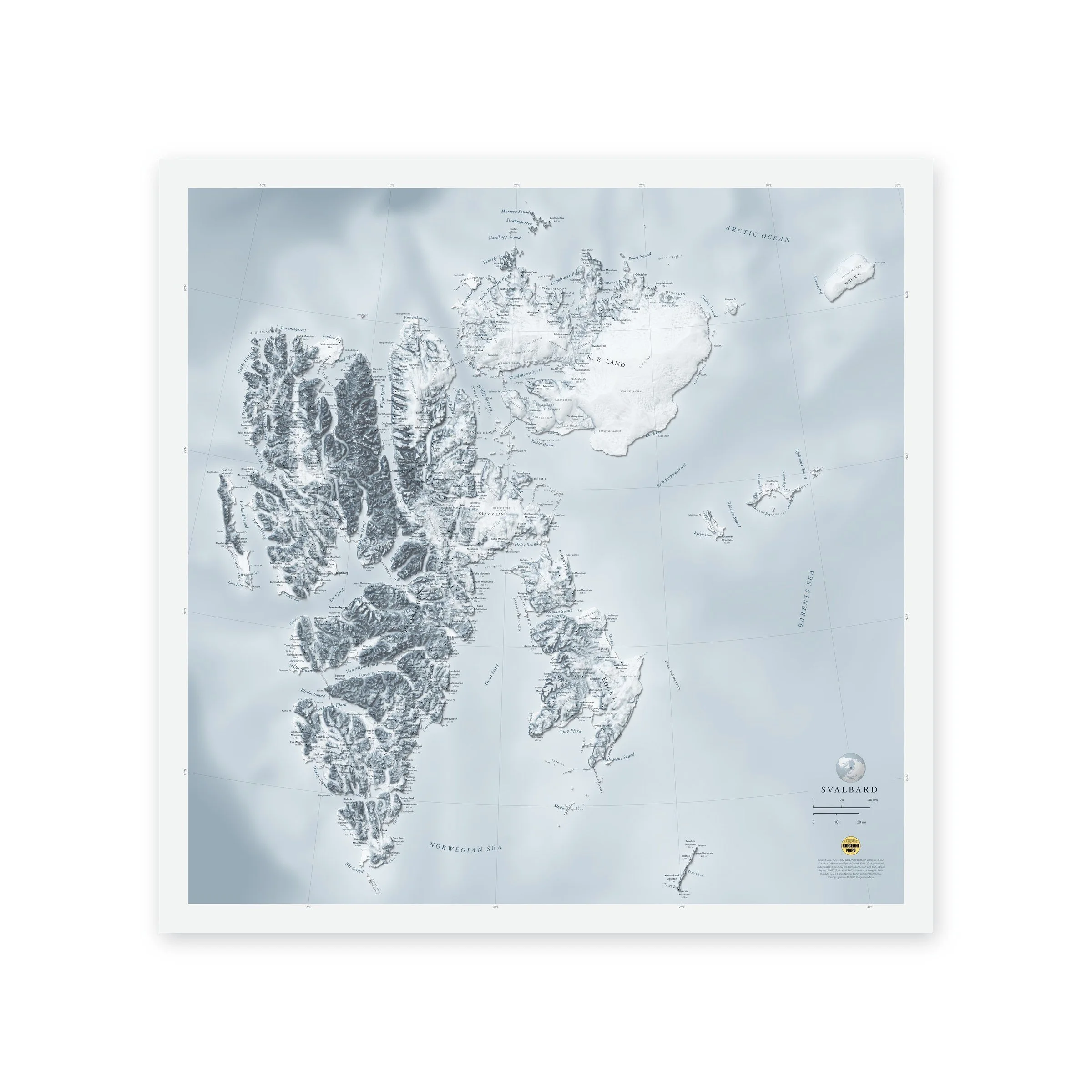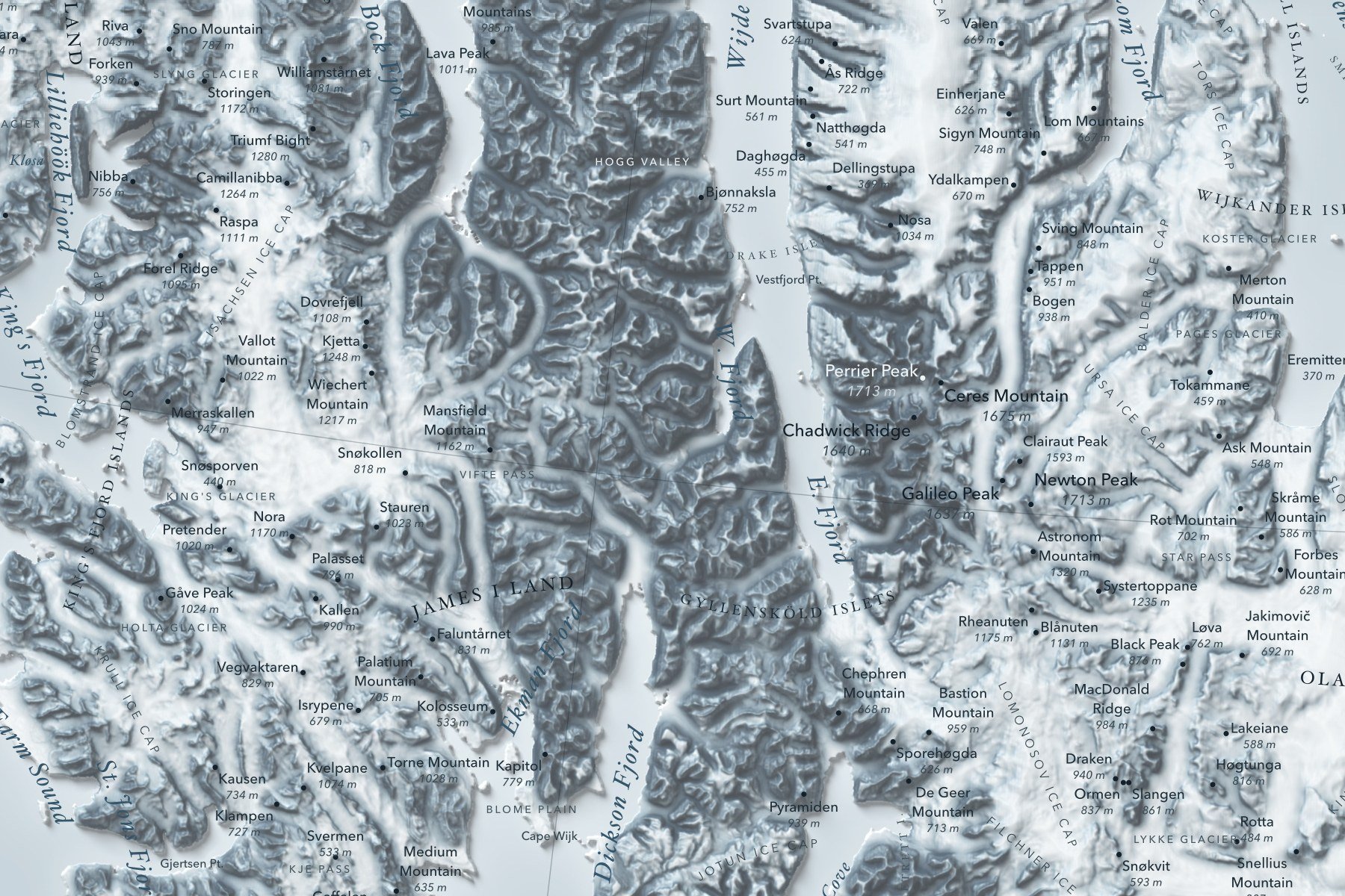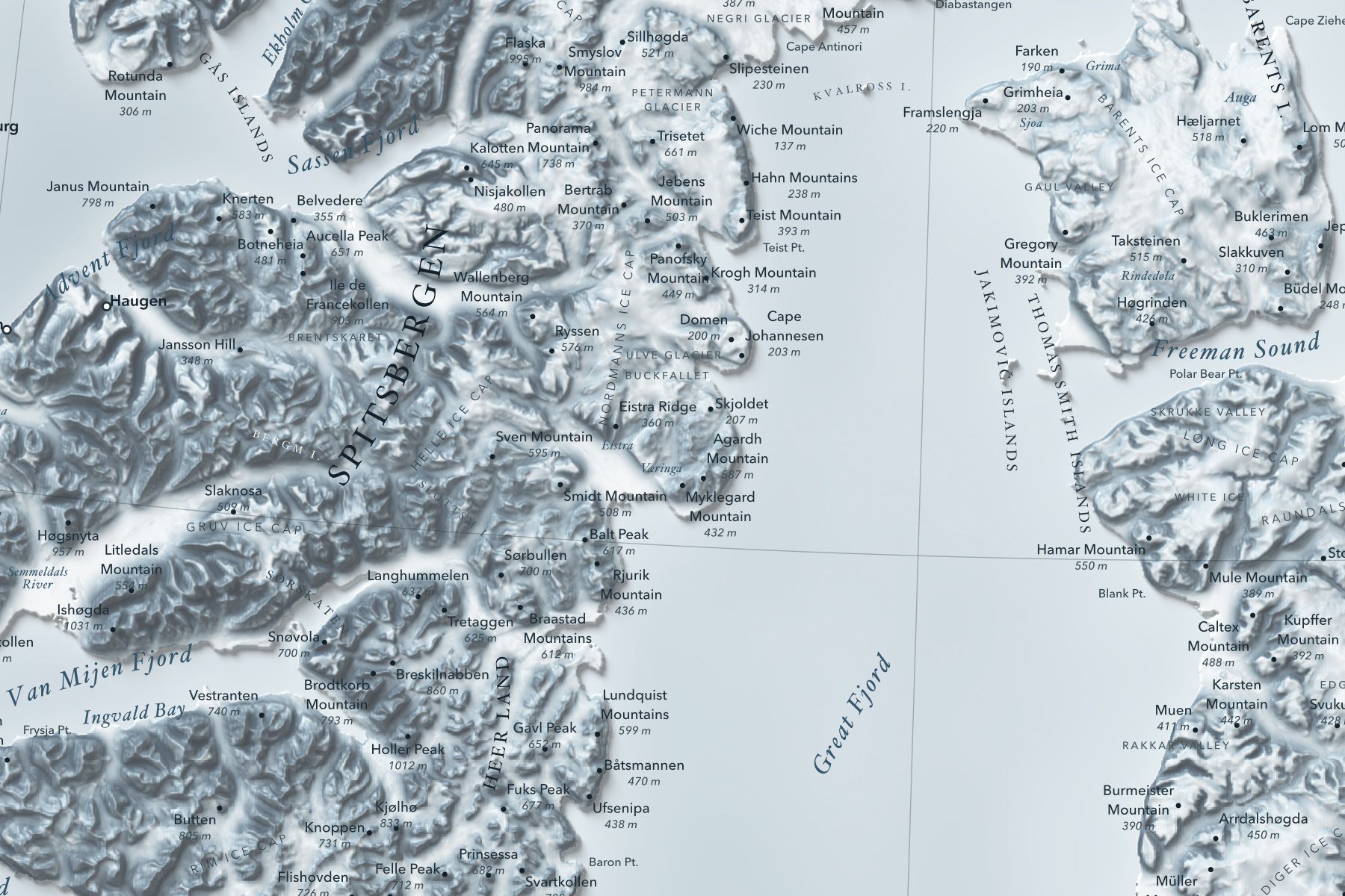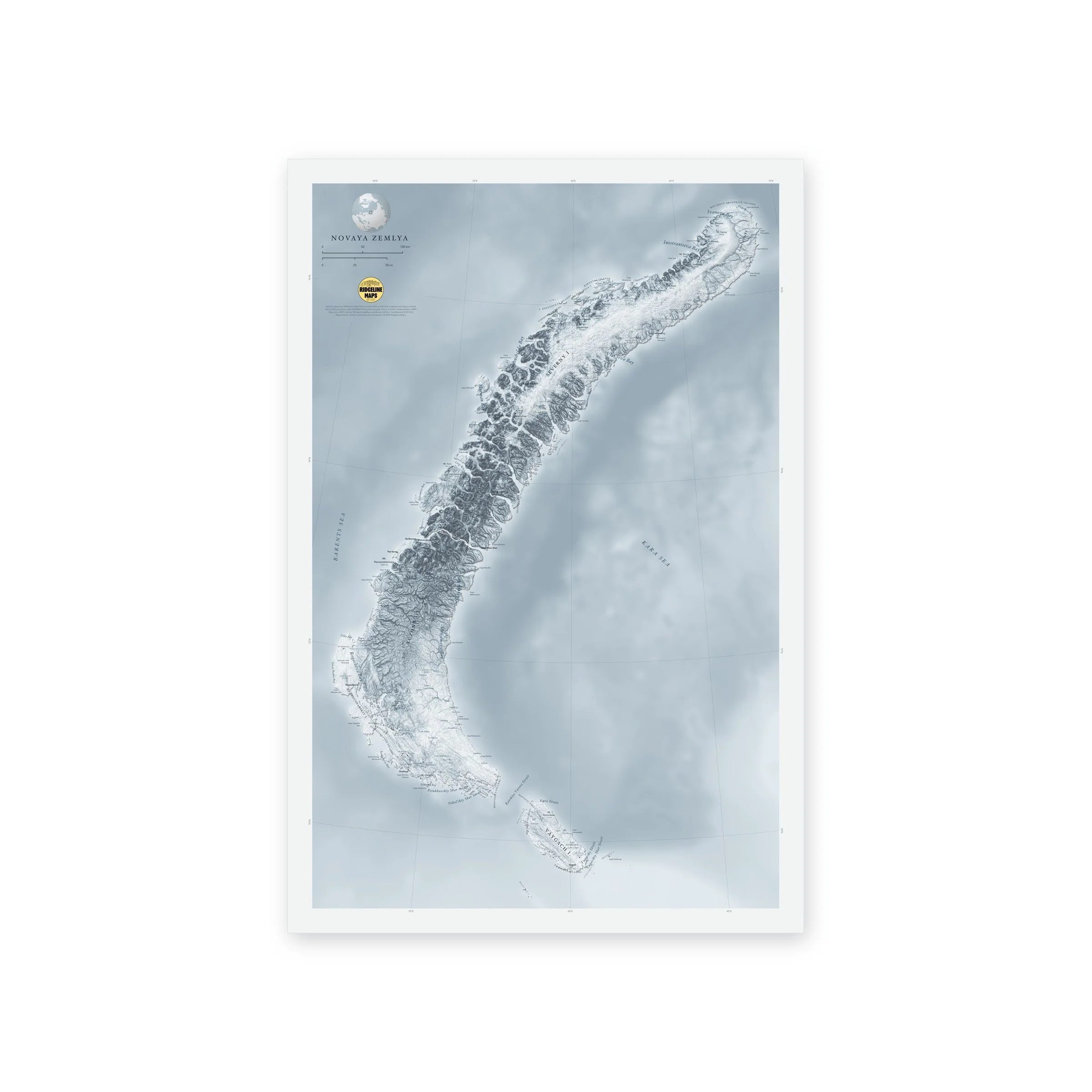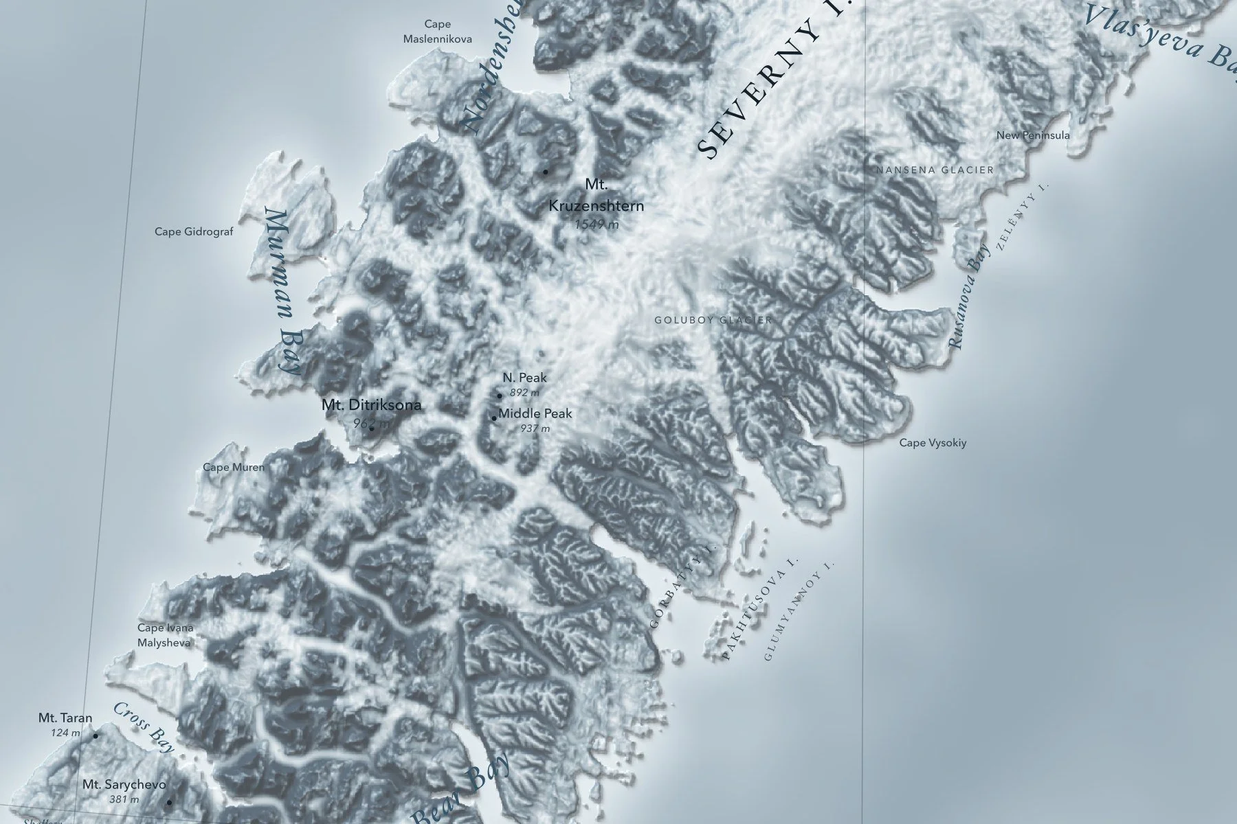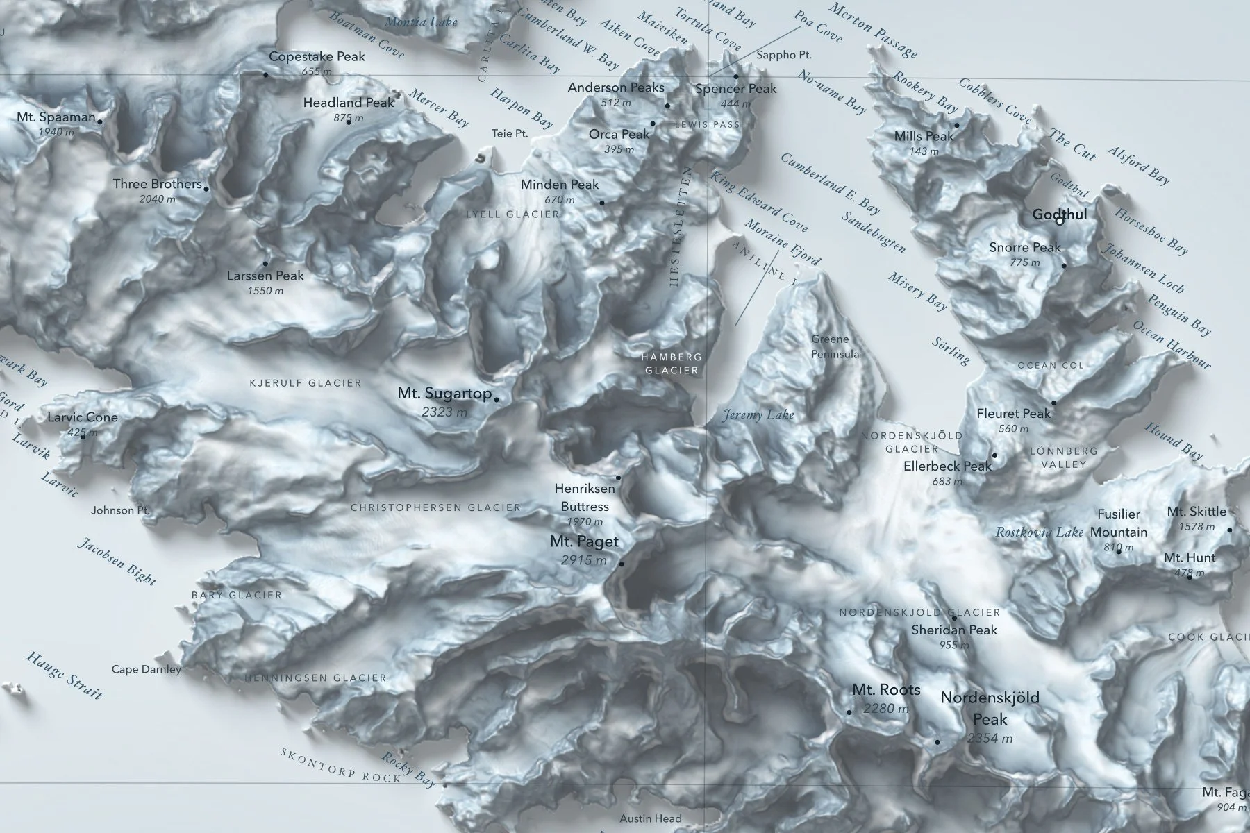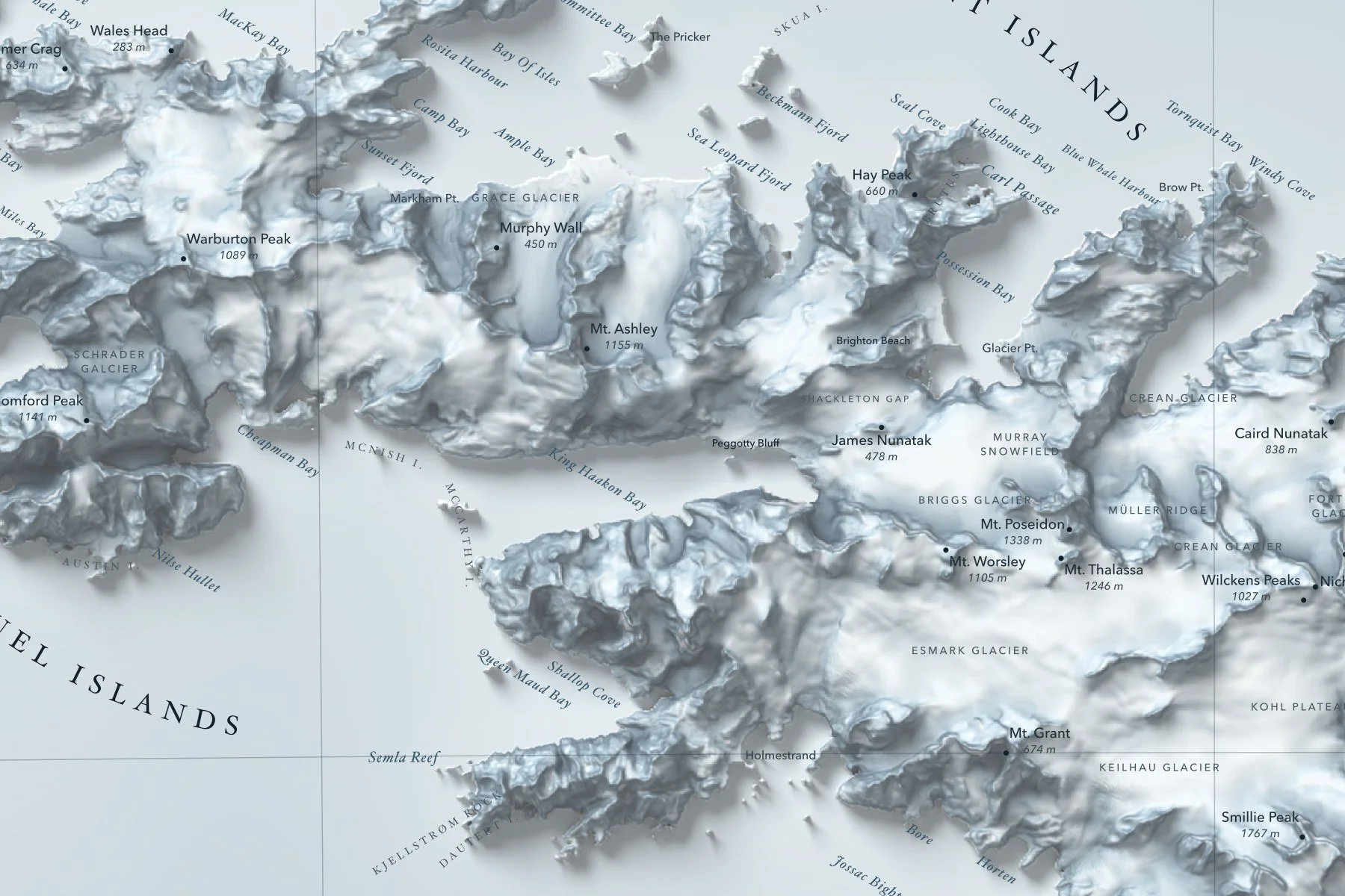
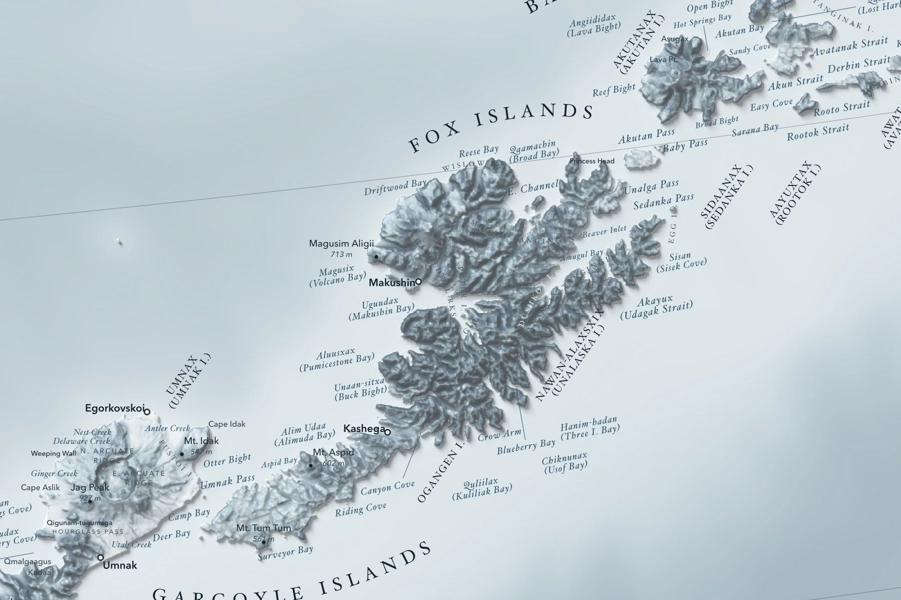
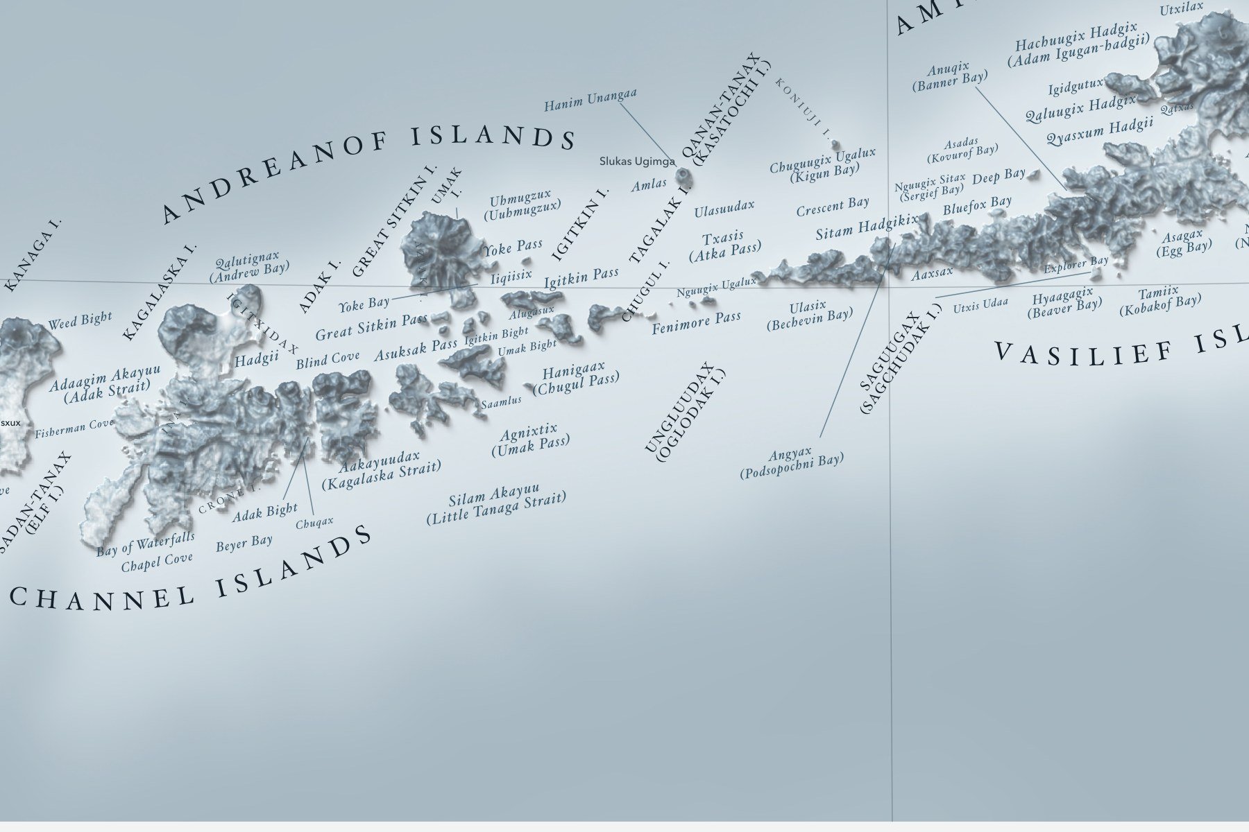
A long panoramic shaded-relief map of Alaska's Aleutian Islands, the volcanic chain arcing across the North Pacific from the Krenitzin Islands near the Alaska Peninsula to Attu and the Near Islands. Many places carry their Unangam Tunuu (Aleut) names alongside the English. Printed 48 × 16 inches.
Peaks with their heights, bays, sounds and headlands are labeled in fine type, with a lat/long grid, a scale bar and a small globe showing where in the world it sits. Printed on fine art cold press paper. Unframed. Part of the Island Relief Maps series from Ridgeline Maps.