

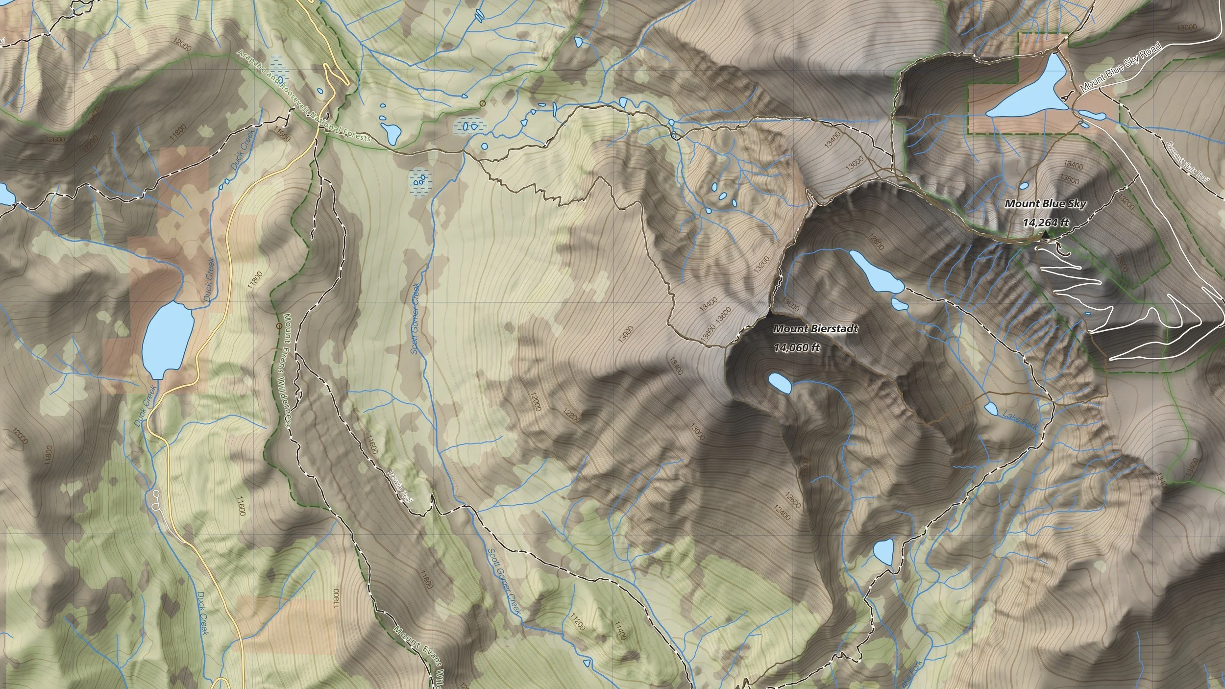
Every Colorado 14er, mapped by hand.
Detailed 1:24,000 topographic prints of Colorado’s highest peaks.
The Colorado 14ers Series
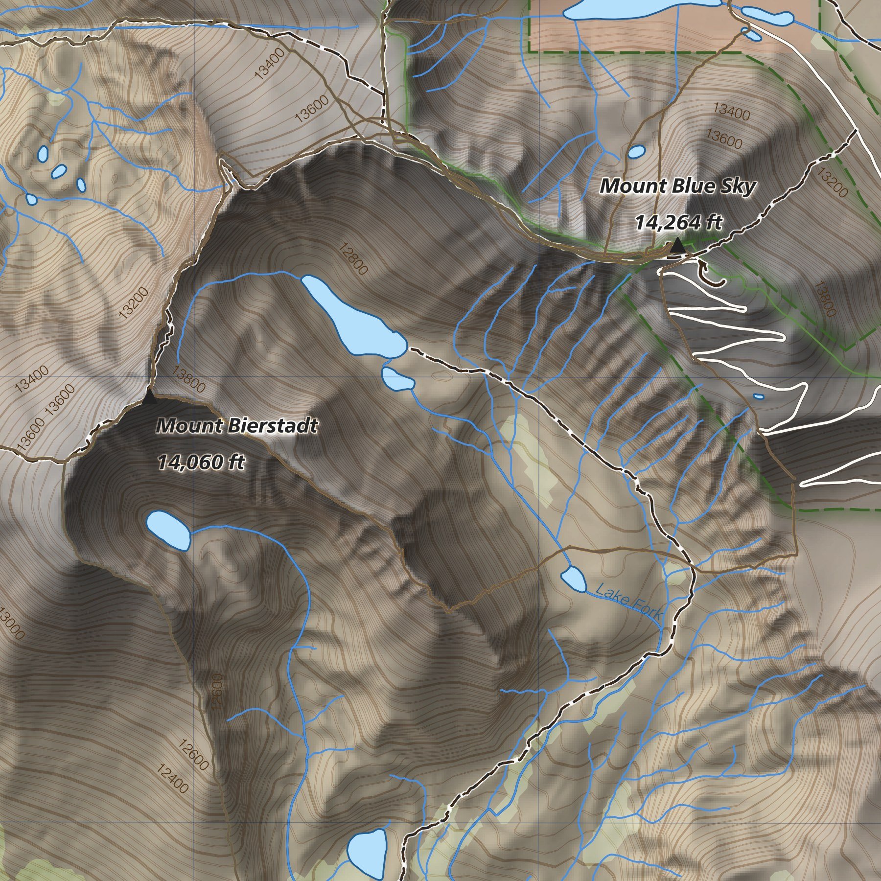
31 maps covering all 58 Colorado fourteeners, drawn in a consistent Swiss-inspired style: soft relief, clear contours, and every trail, lake, and summit accounted for. Printed at 1:24,000, the same scale as USGS topo quads.
Why These Maps
True 1:24,000 Scale
The same scale as USGS topo quads, detailed enough to trace every switchback, gully, and lake.
Swiss-Style Relief
Inspired by the Swiss national maps, with soft terrain shading that makes the mountains read at a glance.
I’ve spent my life traveling and working in these mountains.
Made by Someone Who Knows the Terrain
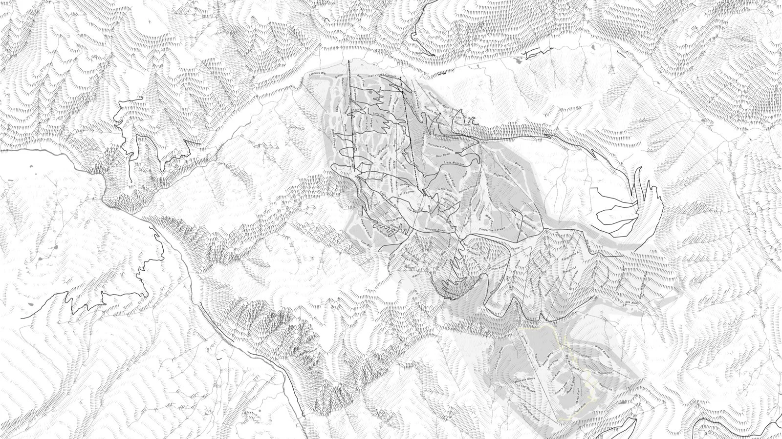
Custom Maps & Commissions
Event and race maps, trail maps, book and film maps, and maps derived from drone imagery. If you have a place worth mapping, let’s talk.
About
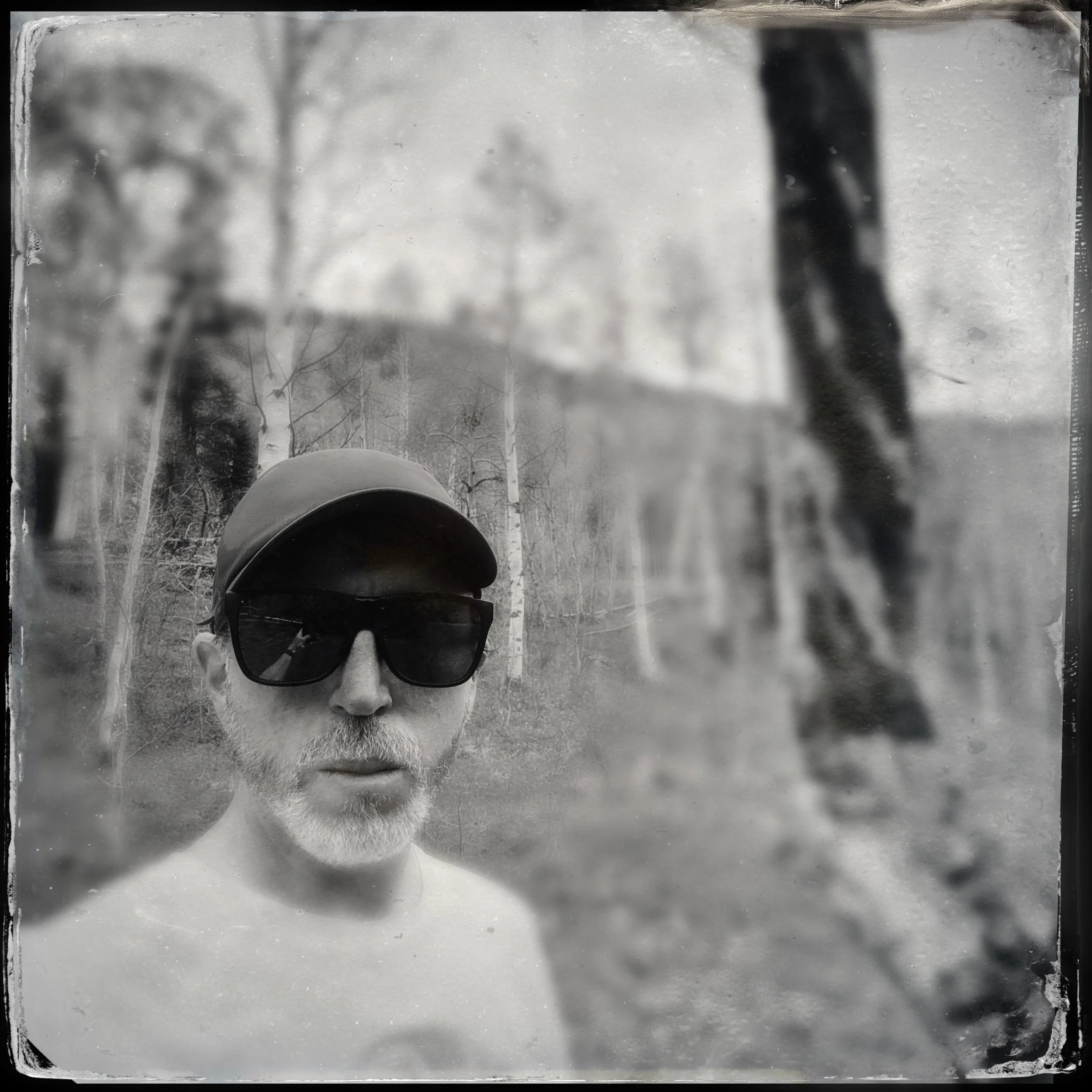
Ridgeline Maps is a one-person cartography studio in Colorado, run by Mike Floyd. Drawing on years of experience in the mountains and using maps for both work and fun, Mike seeks to create maps that are informative and visually engaging, suitable for the boardroom, your living room, or any other place where a map tells your story.