

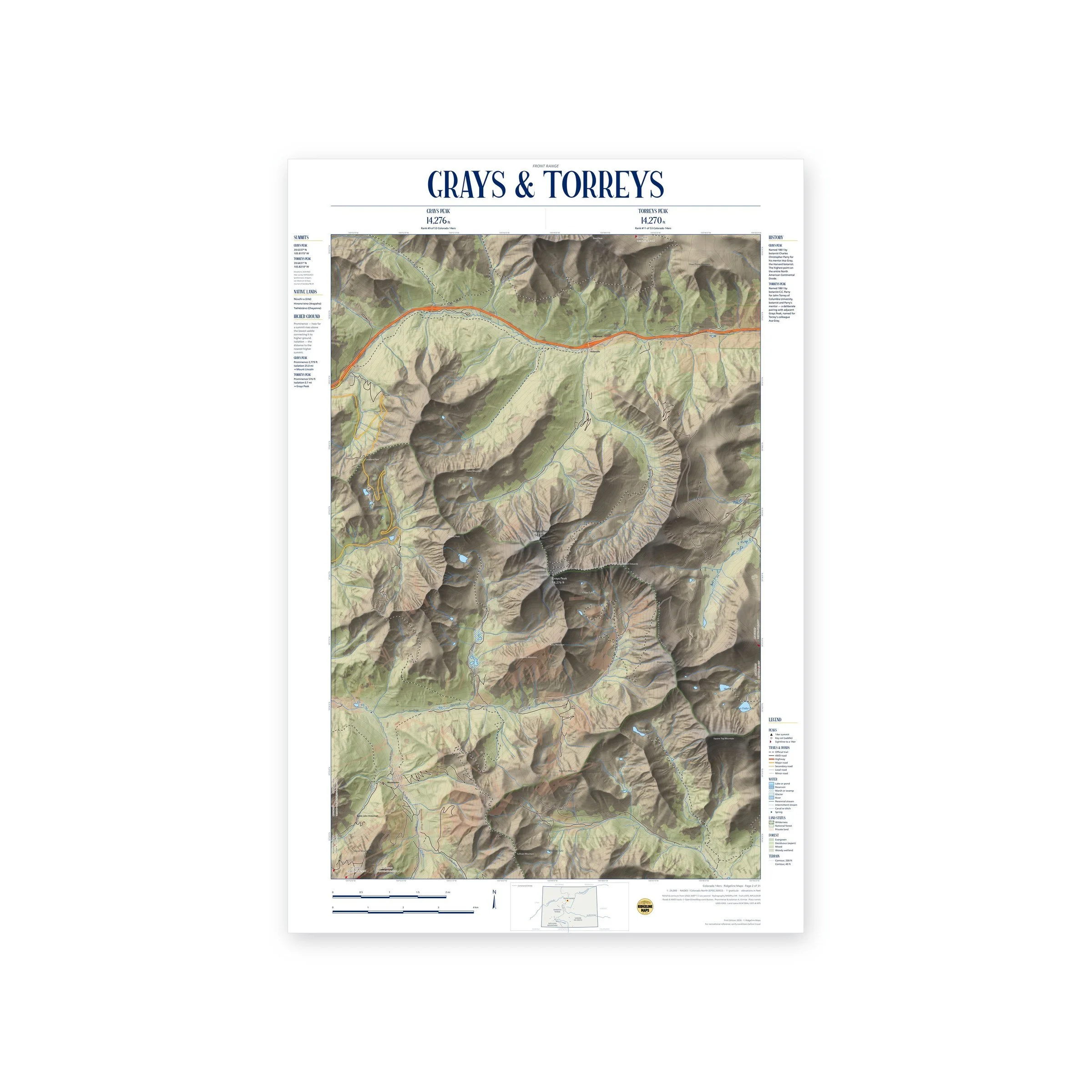
Every Colorado 14er, mapped by hand.
Detailed 1:24,000 topographic prints of Colorado’s highest peaks.
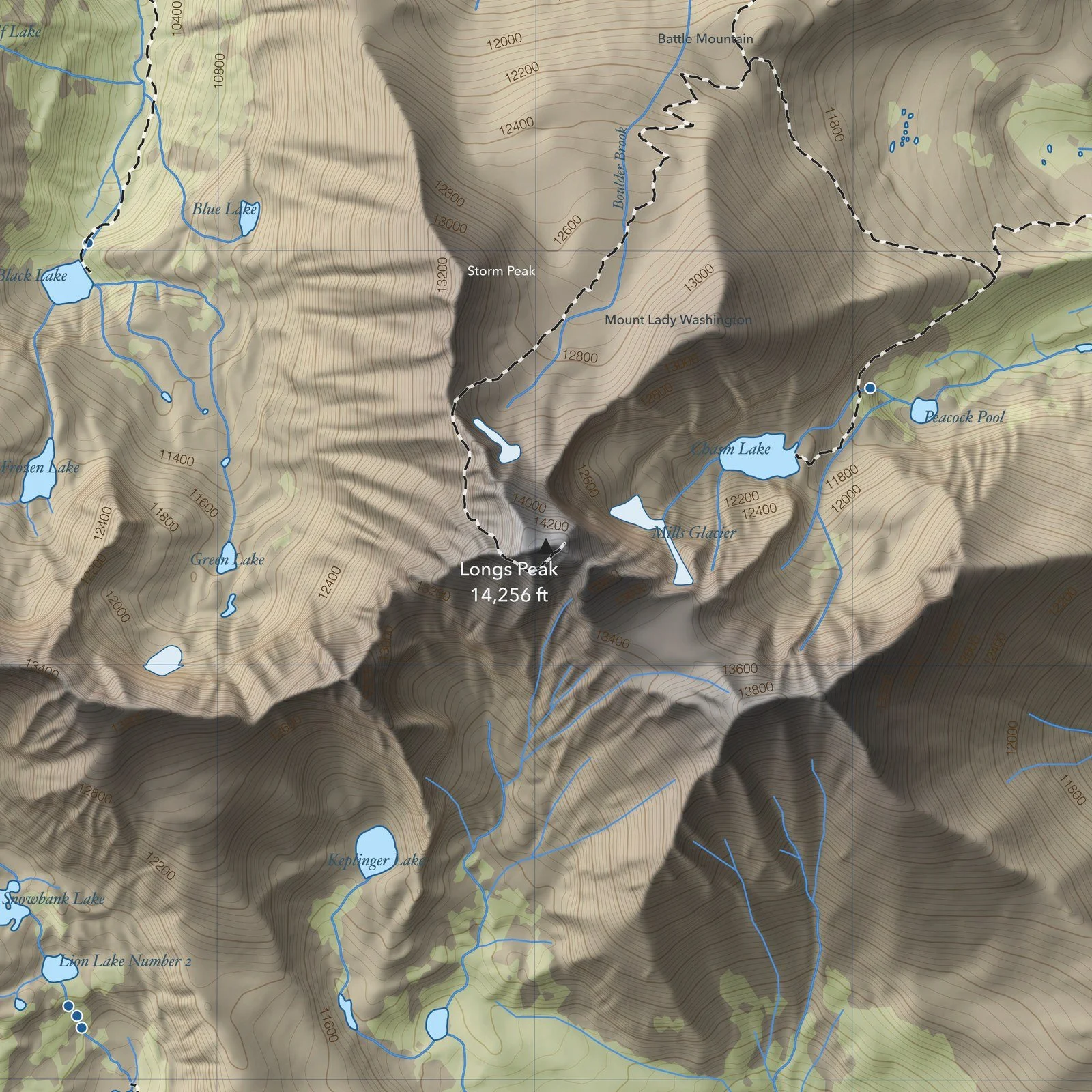
The Colorado 14ers Series
31 maps covering all 58 Colorado fourteeners, drawn in a consistent Swiss-inspired style: soft relief, clear contours, and every trail, lake, and summit accounted for. Printed at 1:24,000, the same scale as USGS topo quads.
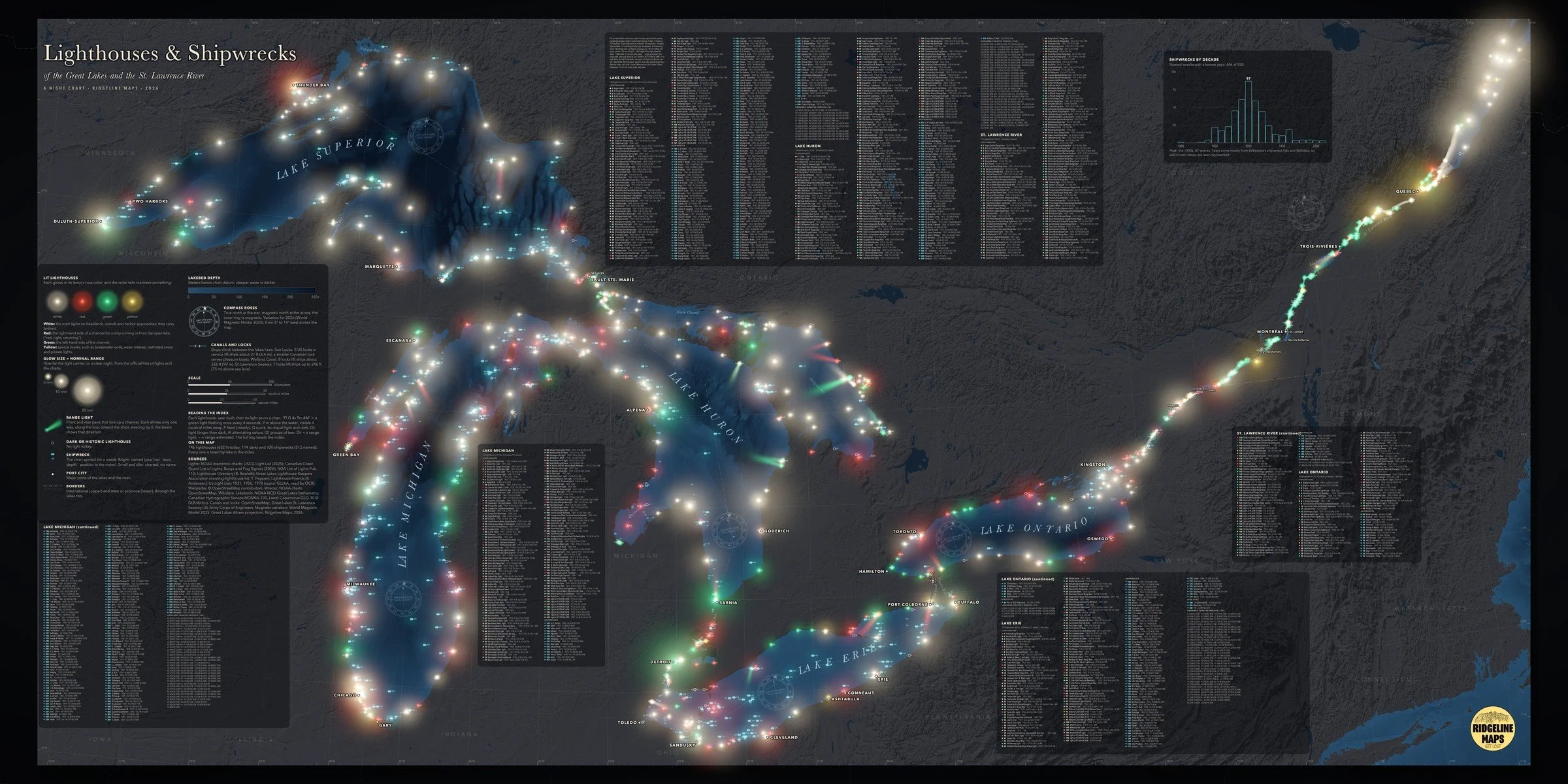
The Great Lakes, lit up at night.
Lighthouses & Shipwrecks: night-chart prints of the Great Lakes, from $119.
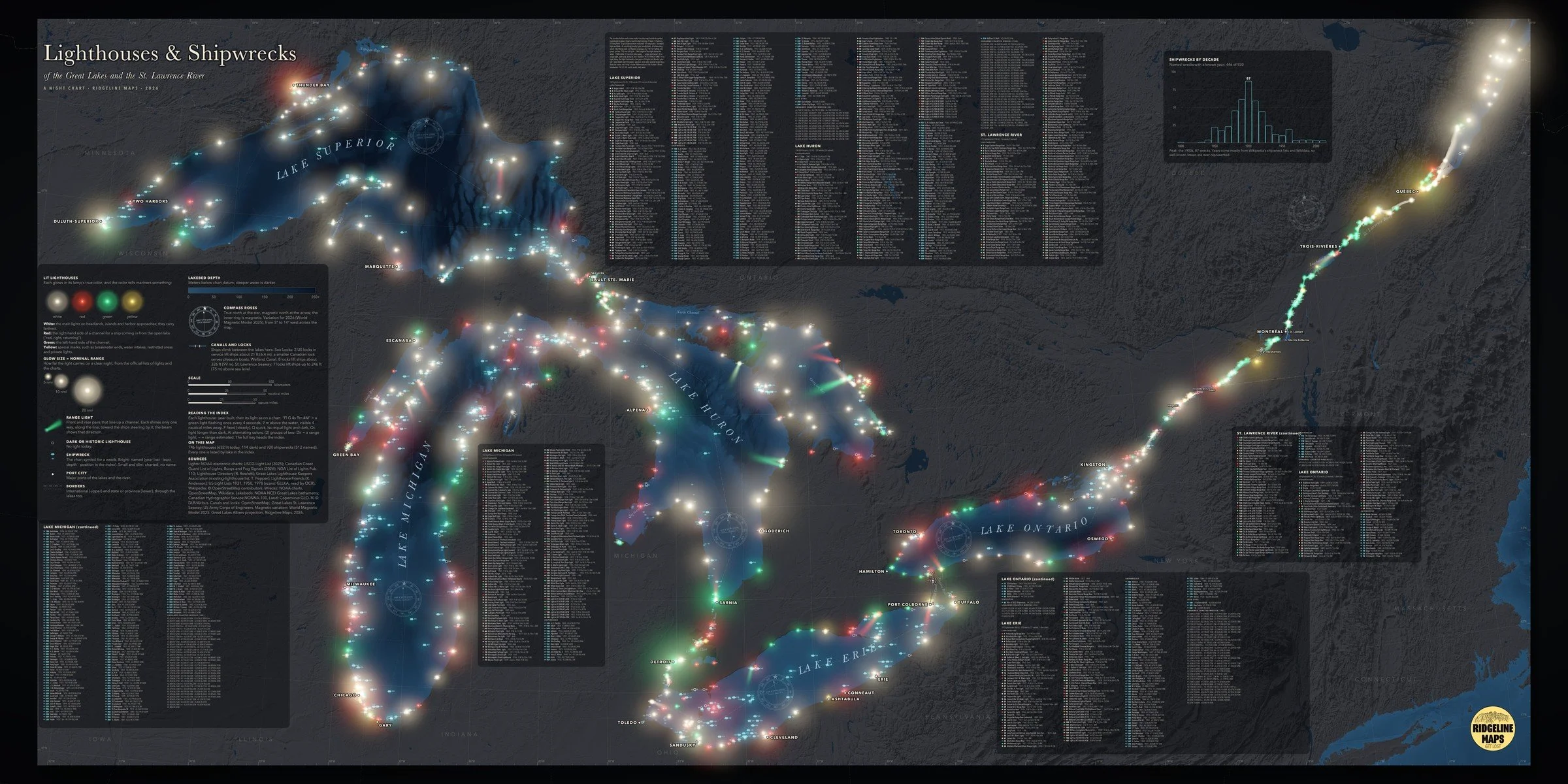
Lighthouses & Shipwrecks
Six night charts: the whole Great Lakes and St. Lawrence River, plus Superior, Michigan, Huron, Erie, and Ontario. Every lighthouse glows in its lamp’s true color, sized by how far its light carries, alongside the charted shipwrecks, each one numbered and listed in a full index.
Prints for Sale
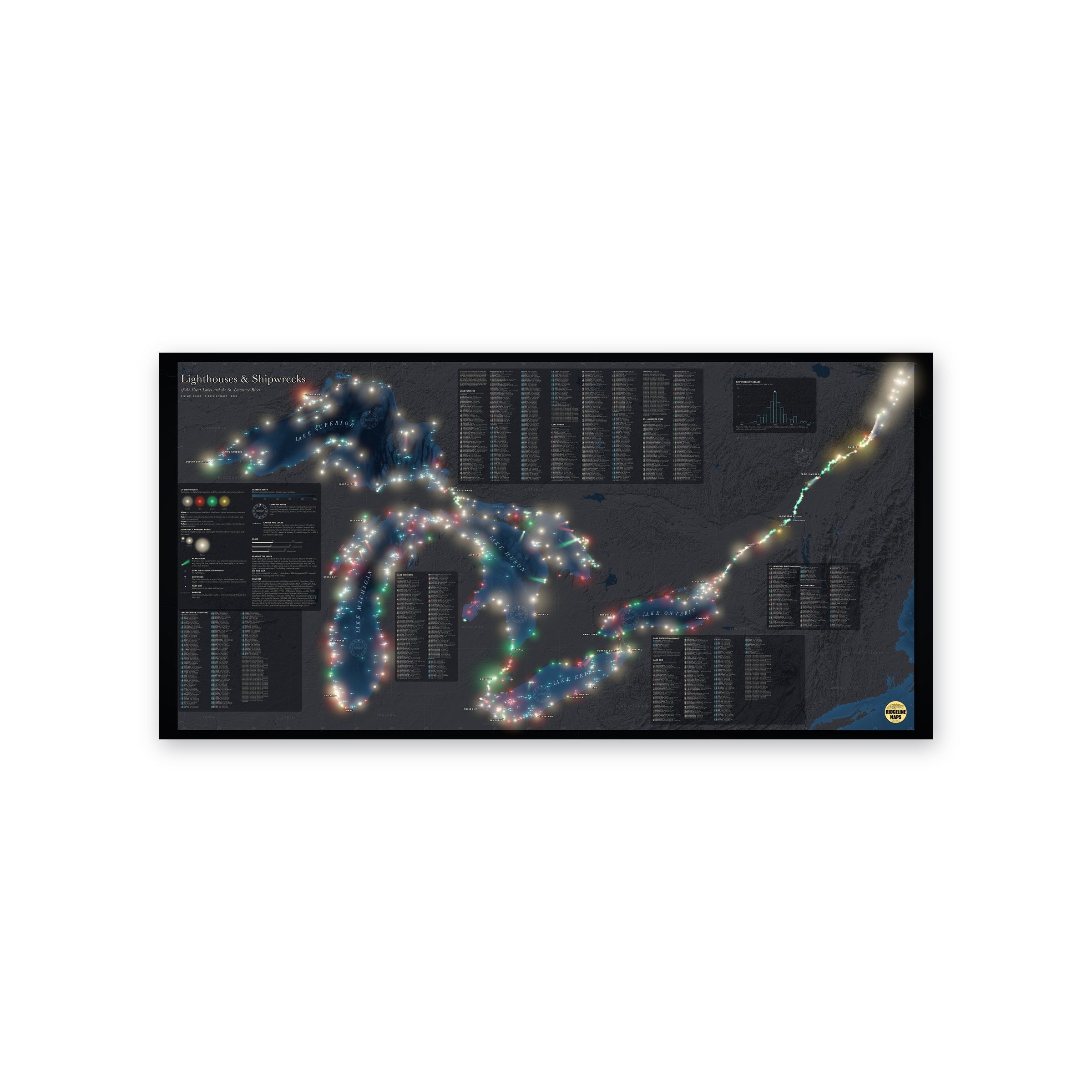
A night chart of the Great Lakes and the St. Lawrence River. 746 lighthouses (632 still lit, 114 dark) glow in their lamps’ true colors, each sized by how far its light carries on a clear night, alongside 920 charted shipwrecks. Every light and wreck is numbered and listed in a full index by lake, with a legend that explains how to read marine light codes and a chart of shipwrecks by decade.
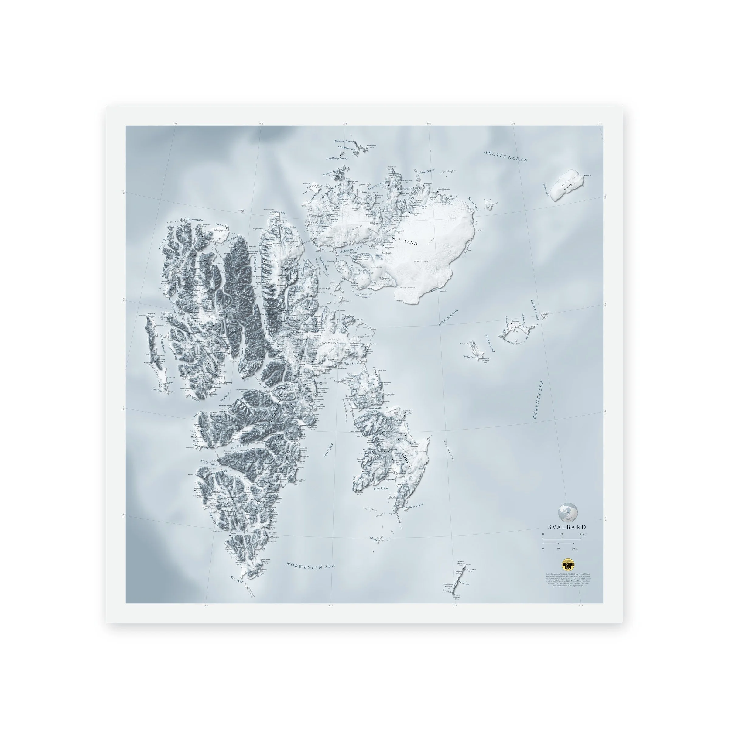
A shaded-relief map of Svalbard, the high Arctic archipelago between Norway and the North Pole, from the jagged peaks of Spitsbergen to the ice caps of Nordaustlandet. Printed 20 × 20 inches.
Peaks with their heights, bays, sounds and headlands are labeled in fine type, with a lat/long grid, a scale bar and a small globe showing where in the world it sits. Printed on fine art hot press paper. Unframed. Part of the Island Relief Maps series from Ridgeline Maps.
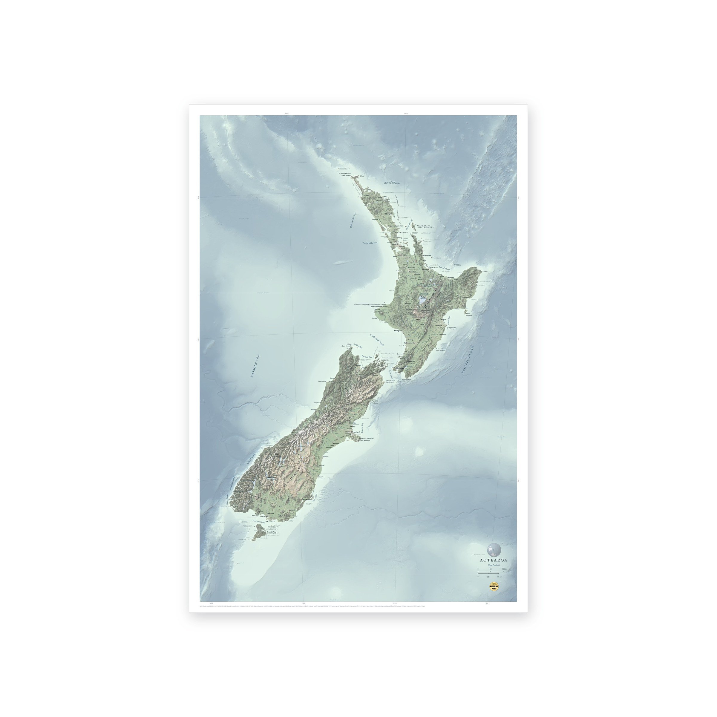
A shaded-relief map of Aotearoa New Zealand, from Te Rerenga Wairua (Cape Reinga) to Rakiura (Stewart Island), with Kā Tiritiri o te Moana (the Southern Alps), the volcanic heart of the North Island and the ridges and trenches of the surrounding sea floor. Places carry their Māori names alongside the English. Printed 24 × 36 or 36 × 54 inches.
Peaks with their heights, rivers, lakes, bays, sounds and headlands are labeled in fine type, with a lat/long grid, a scale bar and a small globe showing where in the world it sits. Printed on fine art hot press paper. Unframed. From Ridgeline Maps.
Interactive Maps
Maps you can explore in your browser. Click a map to open it.
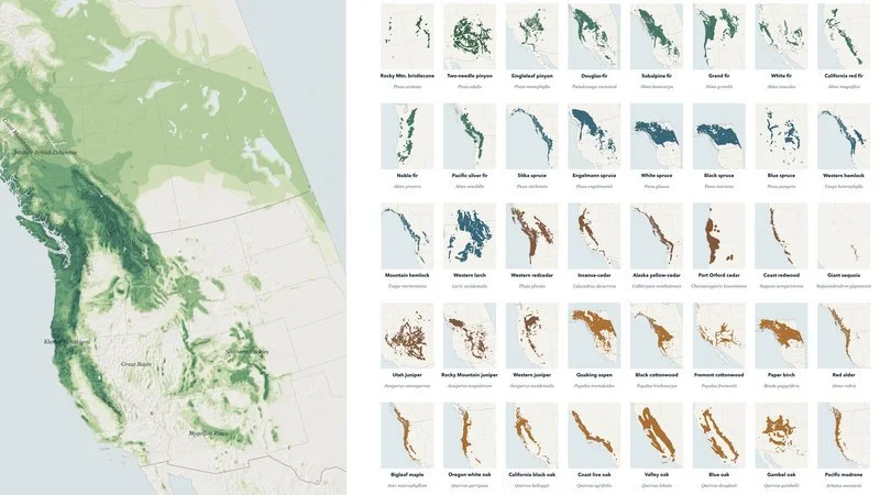
Fifty native trees from interior Alaska to the Mexican border, and where their ranges meet.
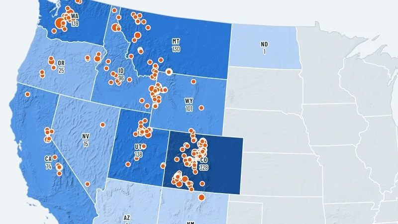
Avalanche Deaths in the United States →
Every fatal avalanche on record since the winter of 1950–51, with the official reports.
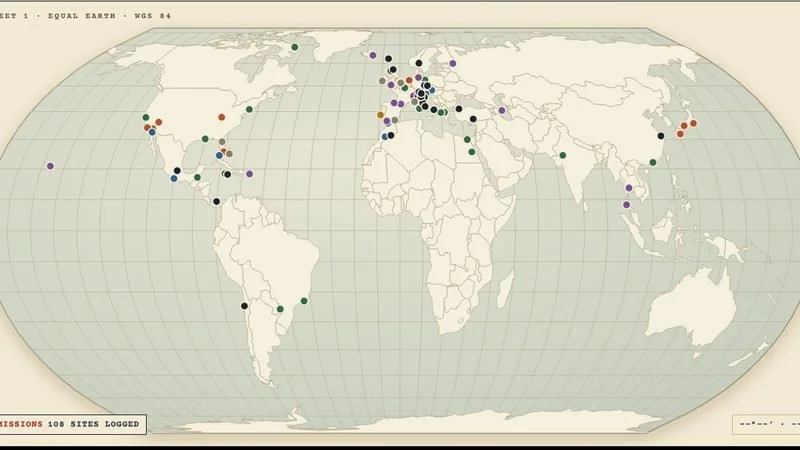
Where every Bond film was actually shot: 108 real-world locations across 27 films.
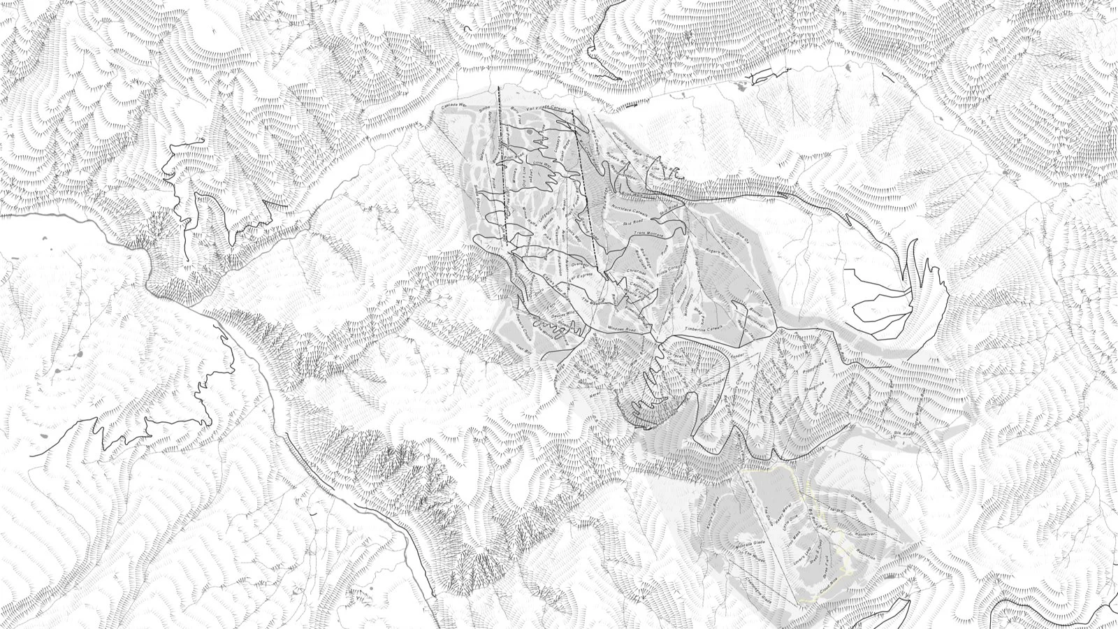
Custom Maps & Commissions
Event and race maps, trail maps, and maps for books and films. If you have a place worth mapping, let’s talk.
About
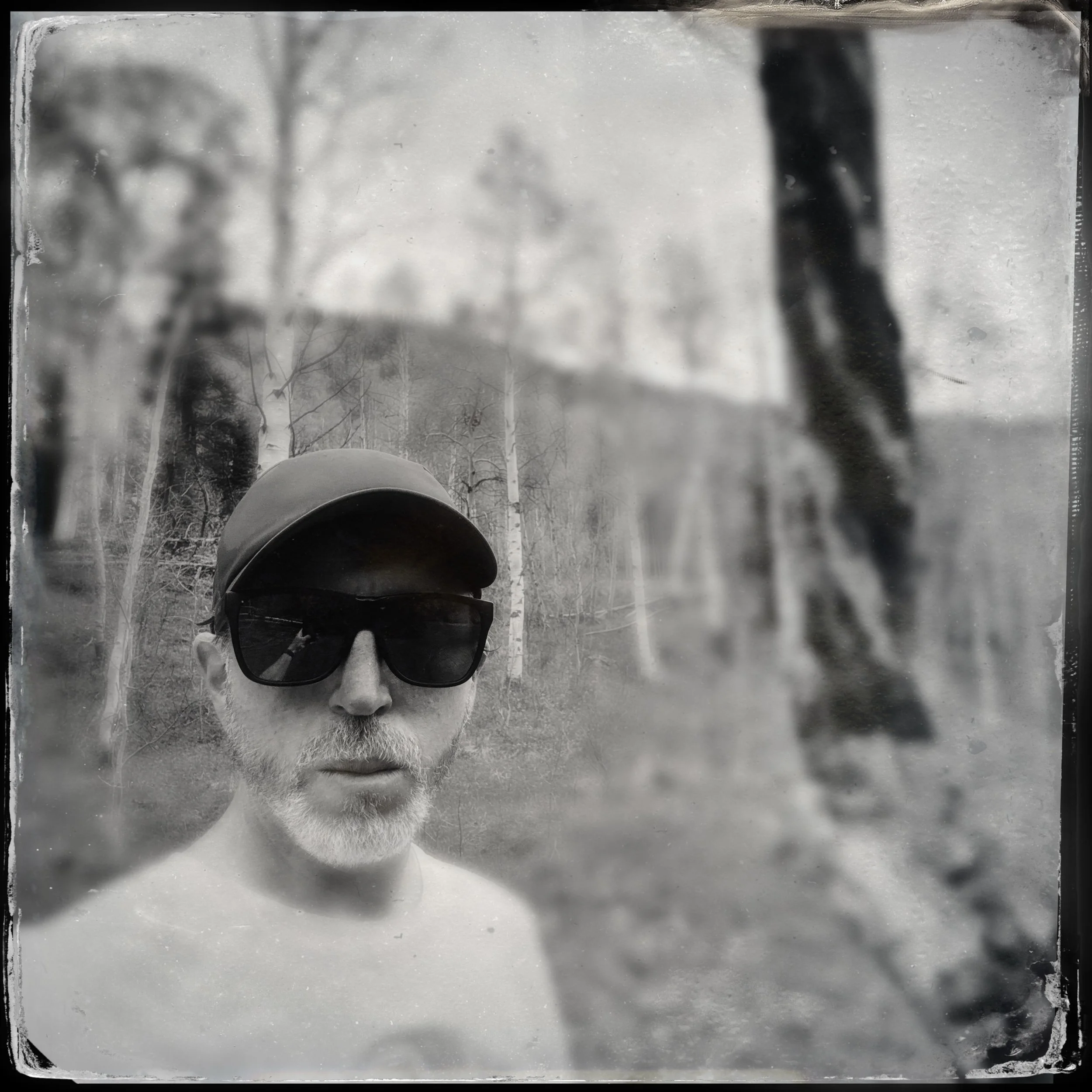
Ridgeline Maps is a one-person cartography studio in Colorado, run by Mike Floyd. Drawing on years of experience in the mountains and using maps for both work and fun, Mike seeks to create maps that are informative and visually engaging, suitable for the boardroom, your living room, or any other place where a map tells your story.